The best mountain hikes around Parc National des Pyrénées Occidentales (Cœur)
4.6
(20)
199
hikers
16
hikes
Mountaineering routes around Parc National des Pyrénées Occidentales (Cœur) traverse a dramatic mountainous terrain, forming part of the Pyrenees mountain chain. The region features 413 named mountains, including Vignemale at 3,298 meters and Pic du Midi d'Ossau at 2,884 meters. The landscape is characterized by six distinct valleys, over 200 high-altitude lakes, and impressive waterfalls, alongside glaciers and rocky ridges. This diverse environment offers a range of challenging ascents and multi-day explorations.
Best mountaineering routes around Parc National des Pyrénées…
Last updated: October 5, 2026
5.0
(1)
40
hikers
17.5km
09:38
1,320m
1,320m
Hard mountaineering route. Very good fitness required. Sure-footedness, sturdy shoes and alpine experience required.
4.5
(2)
27
hikers
15.0km
09:04
1,370m
1,370m
Hard mountaineering route. Very good fitness required. Sure-footedness, sturdy shoes and alpine experience required.

5.0
(1)
19
hikers
11.8km
05:51
820m
820m
Hard mountaineering route. Very good fitness required. Sure-footedness, sturdy shoes and alpine experience required.
4.9
(7)
21
hikers
6.61km
02:08
290m
290m
Moderate mountaineering route. Good fitness required. Easily-accessible paths. Suitable for all skill levels.
4.0
(1)
13
hikers
8.14km
03:35
470m
470m
Moderate mountaineering route. Good fitness required. Mostly accessible paths. Sure-footedness required.
Get access to more routes and recommendations from other explorers.
Already have an account?
Our route recommendations are based on thousands of hikes, rides, and runs completed by other people on komoot.
Start today with a free account
Your next adventure awaits.
Popular around Parc National des Pyrénées Occidentales (Cœur)
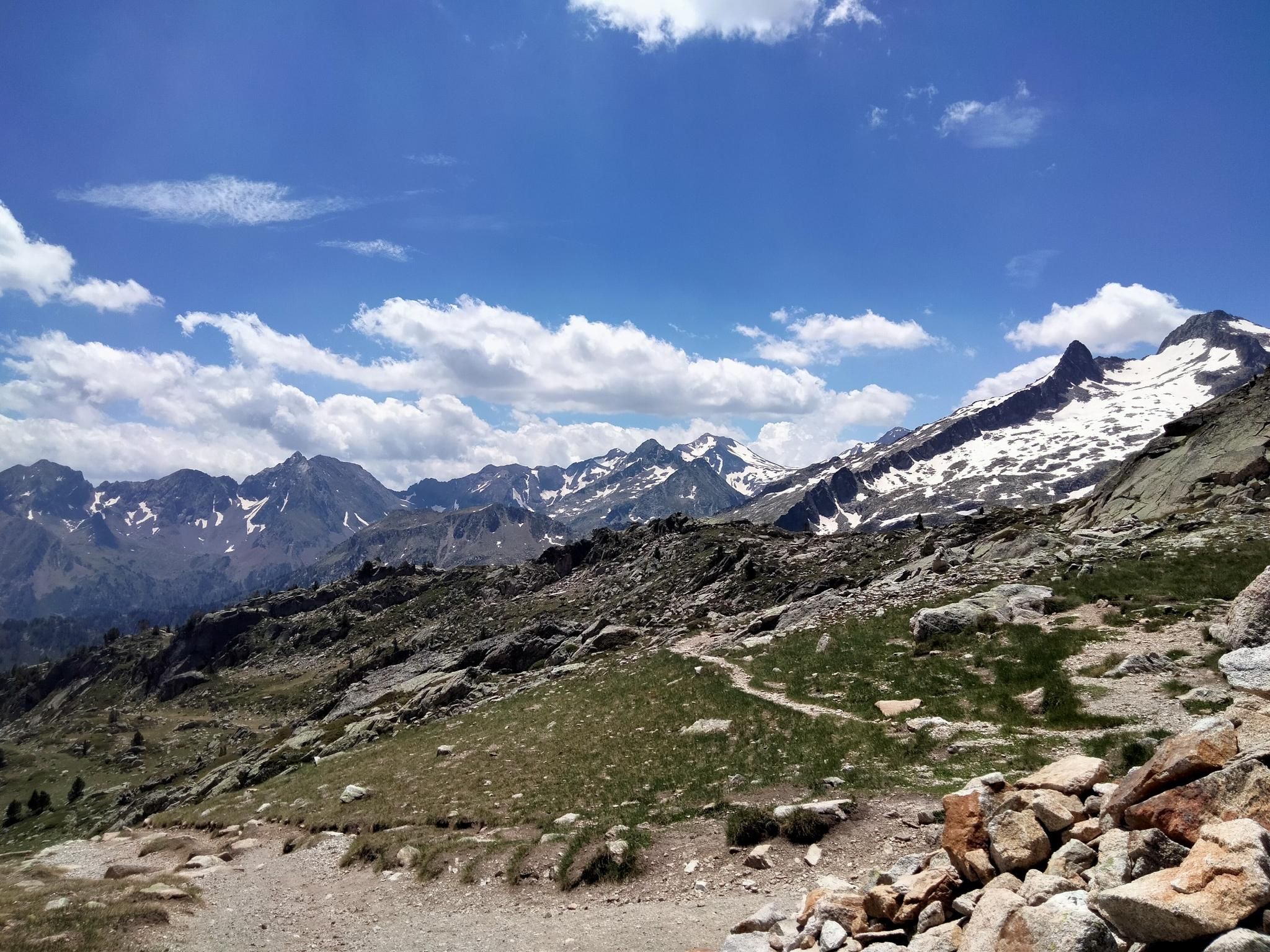
Hexatrek, the western and central Pyrenees – Between mountains and the ocean
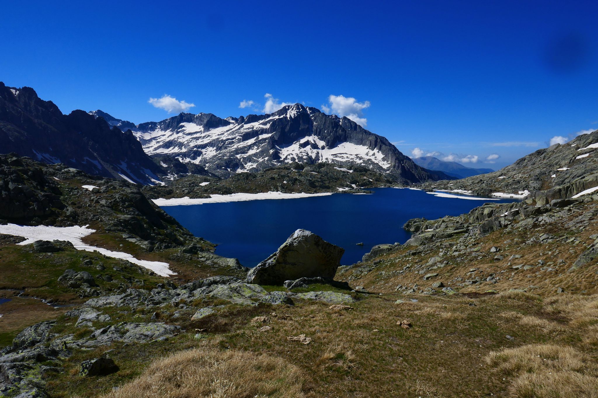
GR 10 – Central Pyrenees crossing the Pyrenees
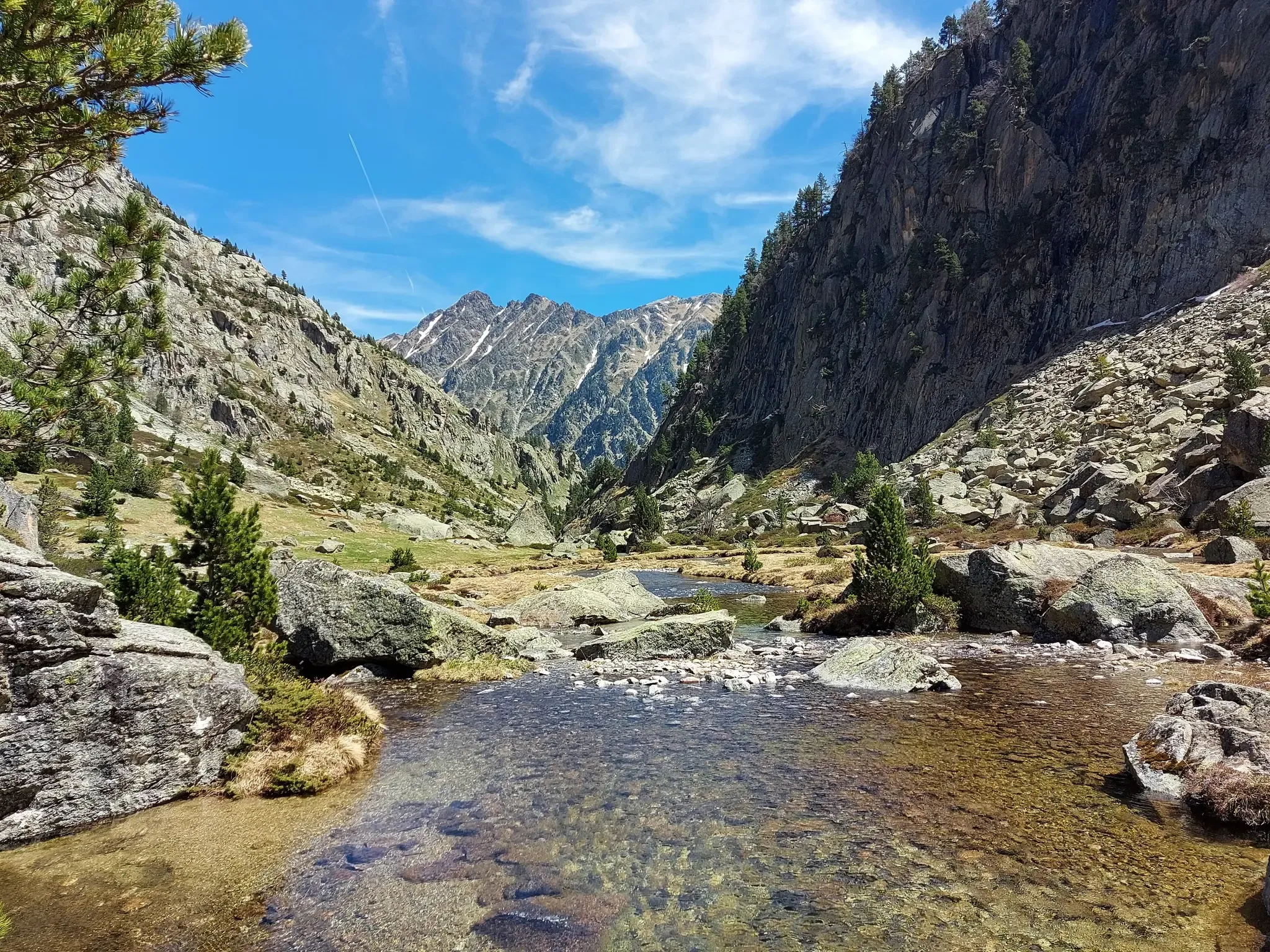
Tour of the Balaïtous – From passes to lakes
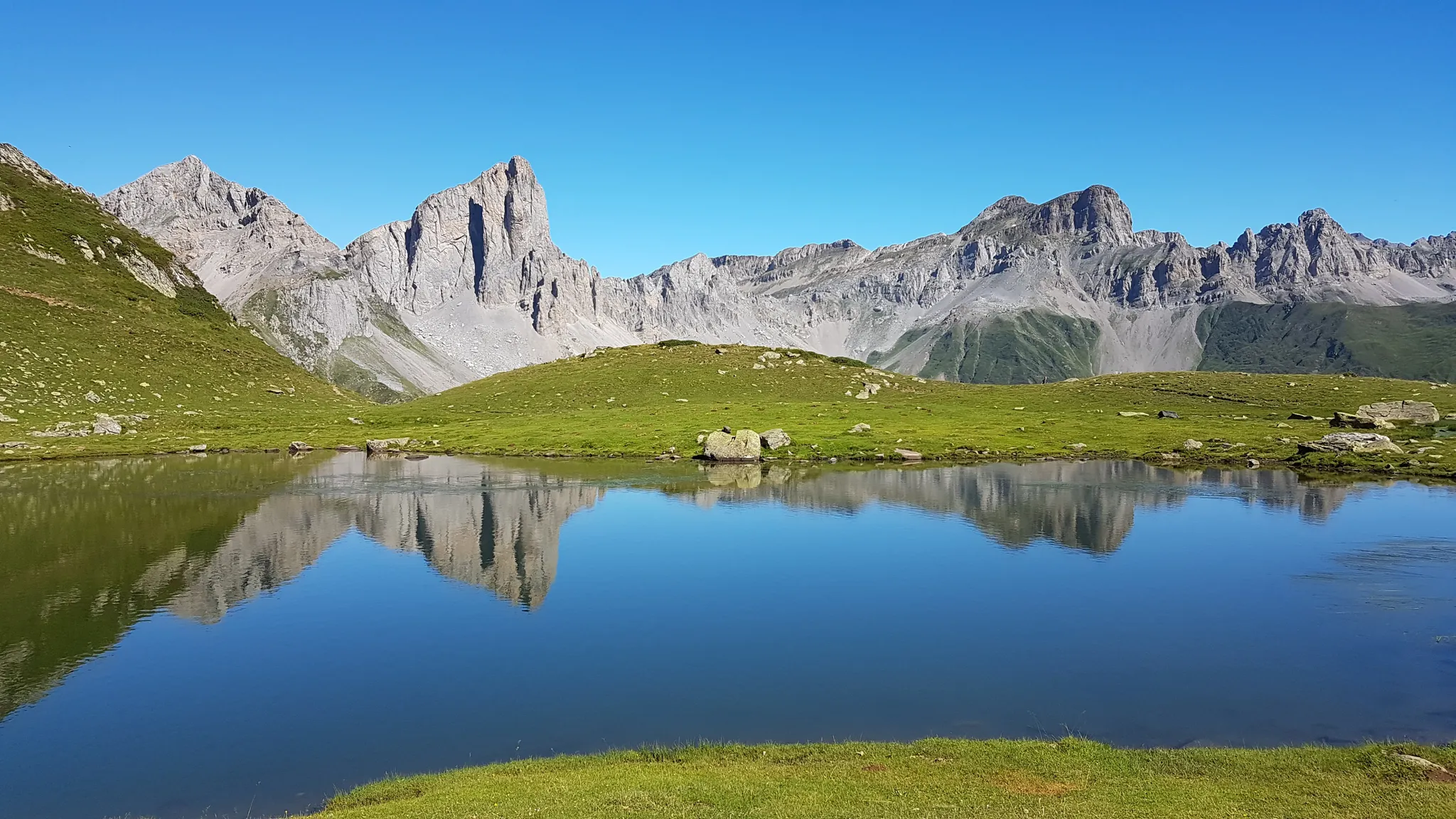
Hike the Aspe Valley – a jewel in the Pyrenees
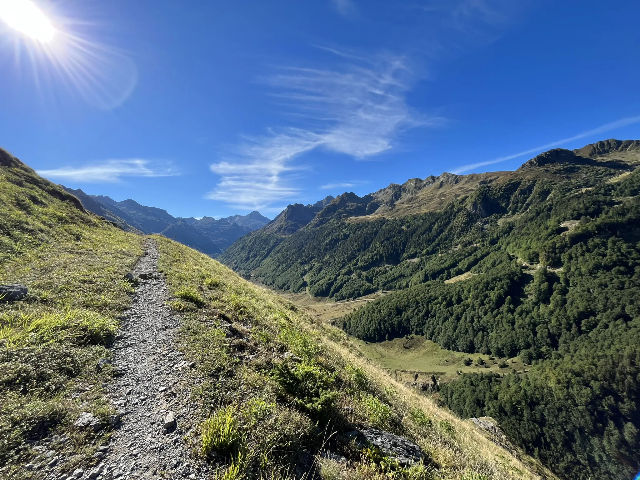
Plateaus, passes and lakes – running in the Ossau Valley

Panoramic Pyrenees – 15 hikers' peaks of over 3,000 metres
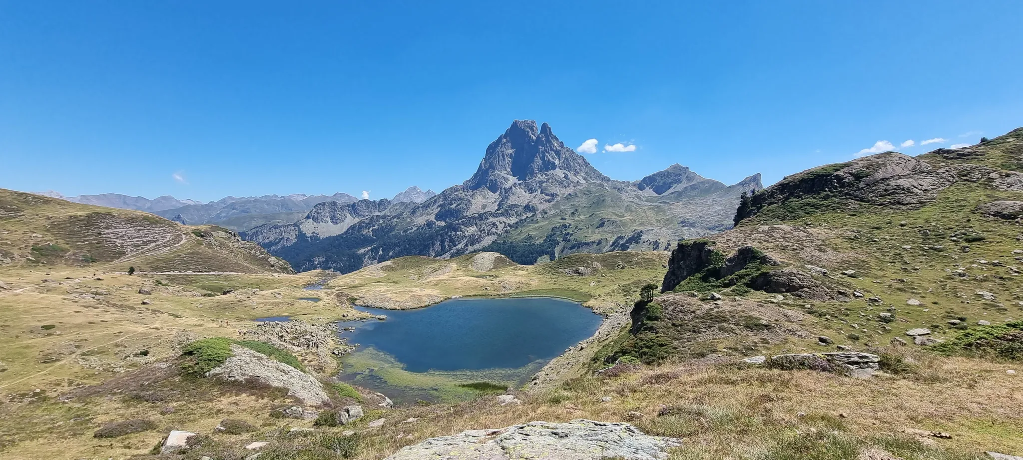
Pic du Midi d'Ossau – Valleys, lakes and viewpoints running trail
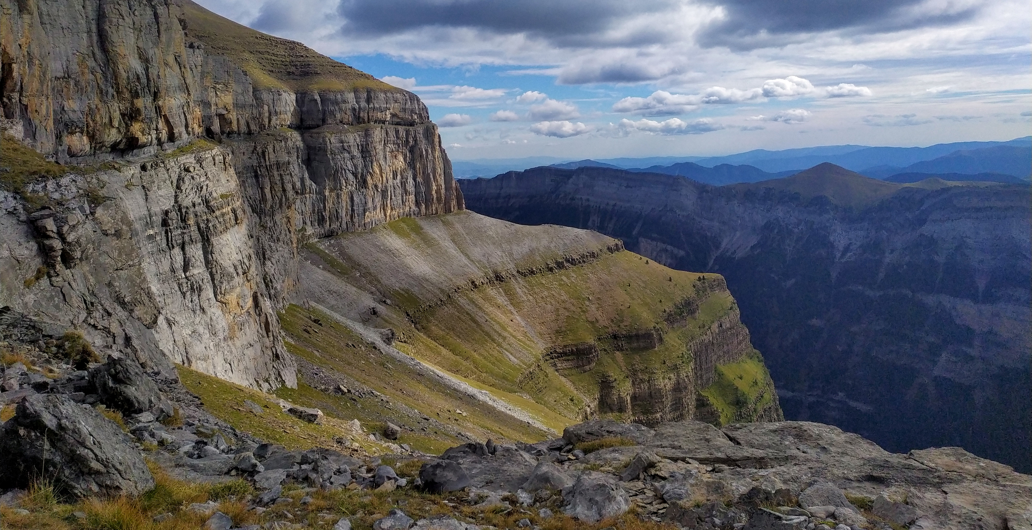
Hike from Gavarnie to Ordesa – A breathtaking loop in the cirques

Haute Route Pyrénéenne – Pyrenees Crossing
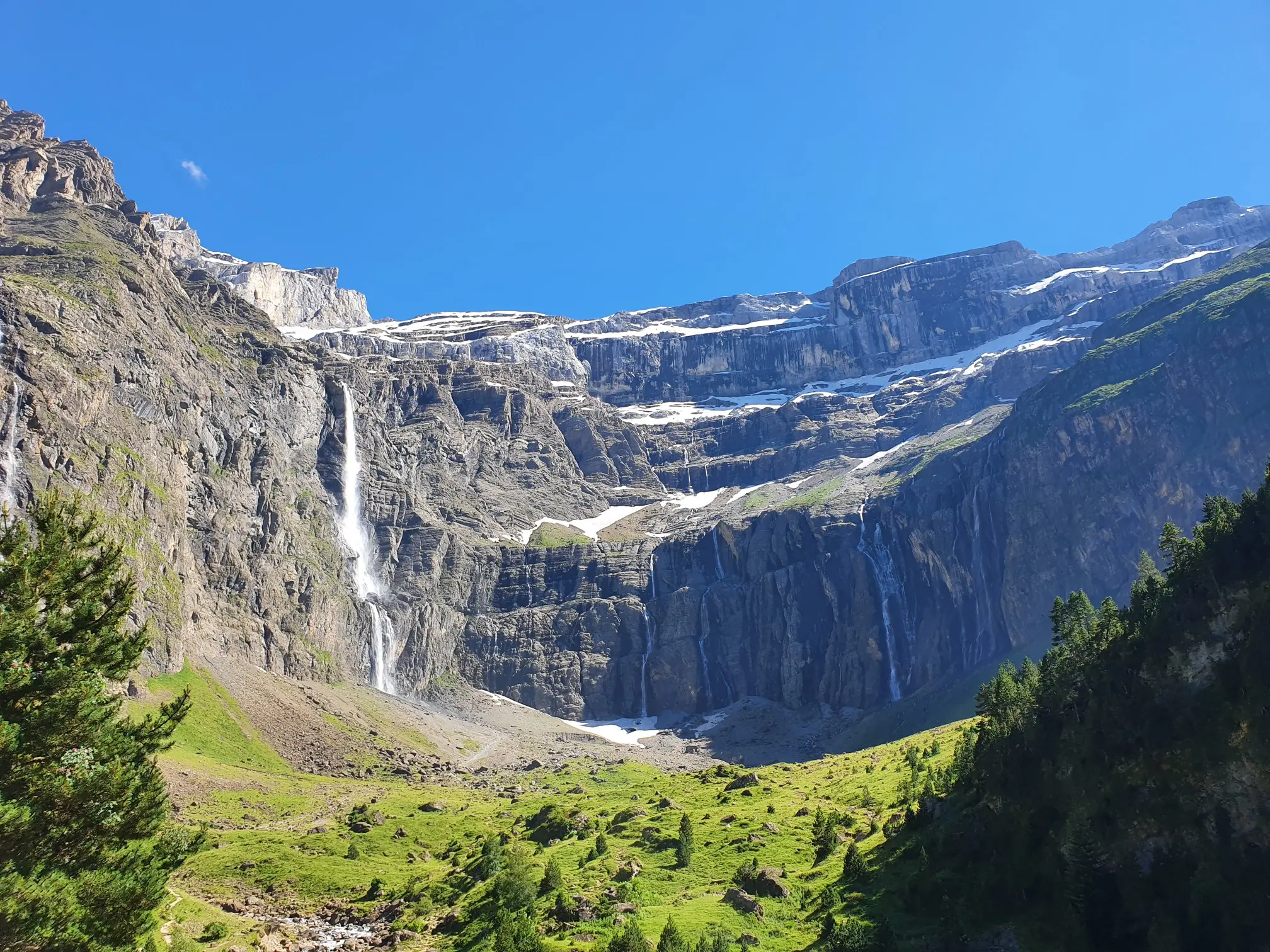
In the heart of the massif – the best hikes in the Central Pyrenees
Other adventures around Parc National des Pyrénées Occidentales (Cœur)


Tips from the Community


map with fares for the cable car and chairlift to Lac de Gaube.
0
0

Because it's a summit that has to be won! A good difference in altitude whether you start from the Pont d'Espagne, the Baysselance refuge or the Ossoue dam, the passage of the Ossoue Glacier and the last part of climbing to reach the summit and enjoy this marvelous panorama
0
0
Chapel trail that goes to Lac de Gaube, this can be useful if you want to make a trip towards Les Oulettes de Gaube and want to skip the first climb.
0
0
Beautiful natural site with impressive waterfalls.
0
0

... view of the bridge and the waterfall.
2
0
A phenomenal mountain lake that gets crowded later in the summer.
2
0

Viñamala Peak (French: Vignemale; Aragonese: Comachibosa) is located in the Pyrenees, between the province of Huesca (Spain) and the department of Hautes-Pyrénées (France). On the Spanish side (Bujaruelo Valley), it forms part of the peripheral zone of the Ordesa y Monte Perdido National Park, while on the French side it is within the Pyrenees National Park. It is the highest peak in the French Pyrenees (3,299 m) and the mountain range to which it belongs.
0
0
Frequently Asked Questions
What kind of terrain can I expect on mountaineering routes in Parc National des Pyrénées Occidentales (Cœur)?
The Parc National des Pyrénées Occidentales (Cœur) features dramatic mountainous terrain with 413 named mountains, including prominent peaks like Vignemale and Pic du Midi d'Ossau. You'll encounter diverse landscapes, from high-altitude lakes and impressive waterfalls to glaciers and challenging rocky ridges. The routes range from moderate paths to difficult ascents requiring alpine experience.
Are there any moderate mountaineering routes suitable for those with less experience?
Yes, while many routes are challenging, there are moderate options available. For instance, the Lakeside Hotel – Lake Gaube loop from Parking du Puntas is a moderate 6.6-mile (10.6 km) route that takes around 2 hours 8 minutes to complete, offering stunning views of Lac de Gaube and the Vignemale massif without extreme difficulty.
What are some notable natural features or landmarks I can see along the routes?
The region is rich in natural beauty. You can explore the UNESCO World Heritage site of Cirque de Gavarnie, home to Europe's highest waterfall. Other highlights include the picturesque Lac de Gaube, offering magnificent views of Vignemale, and various mountain passes like Roland's Breach and Tentes Pass.
Are there any circular mountaineering routes in the area?
Yes, many routes are designed as loops. A challenging option is the Pombie Refuge – Pic du Midi d'Aussou loop from Col du Pourtalet, a difficult 10.6-mile (17.1 km) path offering panoramic vistas. Another is the Pombie Refuge – Peyreget Pass loop from Col du Pourtalet, a difficult 7.3-mile (11.8 km) route.
What is the best season for mountaineering in Parc National des Pyrénées Occidentales (Cœur)?
The best season for mountaineering generally spans from late spring to early autumn (June to September) when the weather is more stable, and snow has largely melted from higher altitudes. However, conditions can vary, and some high-altitude routes, especially those involving glaciers, may require specific equipment like crampons and ice axes even in summer.
How many mountaineering routes are available in Parc National des Pyrénées Occidentales (Cœur)?
There are over 20 mountaineering routes documented in Parc National des Pyrénées Occidentales (Cœur) on komoot, offering a wide range of experiences for different skill levels.
What do other mountaineers say about the routes in this region?
The routes in Parc National des Pyrénées Occidentales (Cœur) are highly rated by the komoot community, with an average score of 4.5 stars from over 30 reviews. Mountaineers often praise the dramatic landscapes, the challenging nature of the ascents, and the stunning natural features like lakes and waterfalls.
Are there any routes that pass by significant waterfalls?
Absolutely. The Cirque de Gavarnie – Brecha de Rolando loop from Col de Tentes takes you through the iconic Cirque de Gavarnie, which features France's highest waterfall. You can also find other impressive waterfalls like View of the Pont d'Espagne waterfalls and Esplumouse Waterfall in the region.
Are there any routes that lead to glaciers or high peaks?
Yes, for experienced mountaineers, the Ossoue Glacier – Pico Vignemale loop from Aire de bivouac is a challenging 9.3-mile (15.0 km) trail that leads through glaciated terrain towards Vignemale, the highest peak in the French Pyrenees. This route often requires alpine experience and specific equipment.
What kind of facilities or services are available near the mountaineering routes?
The park offers several mountain refuges, such as Refuge des Sarradets and Refuge Wallon - Marcadau, which provide shelter for multi-day explorations. Surrounding villages and towns also offer amenities like cafes, pubs, and accommodation options for visitors.
Is public transport an option for accessing trailheads?
While specific public transport options to individual trailheads can vary and might be limited, some valleys and larger towns bordering the park may offer bus services. It's advisable to check local transport schedules for the specific valley you plan to visit, such as Aure, Luz-Gavarnie, or Ossau.
Are there any specific rules or permits required for mountaineering in the Parc National des Pyrénées Occidentales (Cœur)?
As a national park, there are regulations in place to protect the environment. While general hiking doesn't usually require permits, specific activities like bivouacking (allowed under certain conditions) or accessing certain sensitive areas might have rules. For technical climbs or glacier crossings, it's always recommended to check with local park authorities or hire a mountain guide for up-to-date information and safety.
Most popular routes around Parc National des Pyrénées Occidentales (Cœur)
Most popular attractions around Parc National des Pyrénées Occidentales (Cœur)

Get inspired with the komoot mobile app


Explore more
Browse the best Mountain Hikes & Routes in other regions.
