The best road cycling routes around Lagunaseca
4.0
(1)
83
riders
6
rides
Road cycling around Lagunaseca features challenging routes through a landscape characterized by significant elevation changes and natural features. The area's terrain includes river valleys, such as the Cabrillas River, and notable rock formations. Road cyclists can expect demanding climbs and descents across varied surfaces.
Best road cycling routes around Lagunaseca
- The most popular road cycling route is Cabrillas River – Rock Formations of Chequilla loop from Peralejos de las Truchas, a 34.1 miles (54.9 km) trail that takes 3…
Last updated: October 1, 2026
12
riders
78.4km
05:19
1,400m
1,390m
Hard road ride. Very good fitness required. Some segments of this route may be unpaved and difficult to ride.
9
riders
84.1km
04:12
1,230m
1,230m
Hard road ride. Very good fitness required. Some segments of this route may be unpaved and difficult to ride.

11
riders
75.9km
04:05
1,330m
1,330m
Hard road ride. Very good fitness required. Mostly well-paved surfaces and easy to ride.
6
riders
76.9km
03:49
1,020m
1,020m
Hard road ride. Very good fitness required. Some segments of this route may be unpaved and difficult to ride.
7
riders
64.5km
03:17
1,070m
1,070m
Hard road ride. Very good fitness required. Mostly well-paved surfaces and easy to ride.
Our route recommendations are based on thousands of hikes, rides, and runs completed by other people on komoot.
Start today with a free account
Your next adventure awaits.
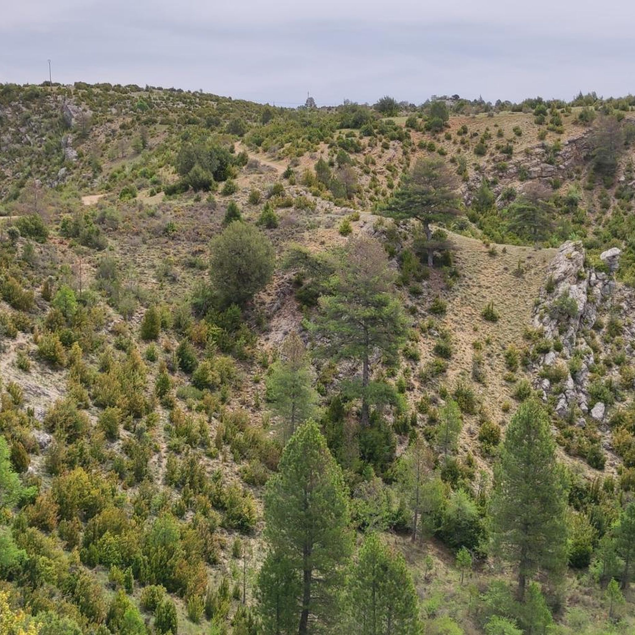
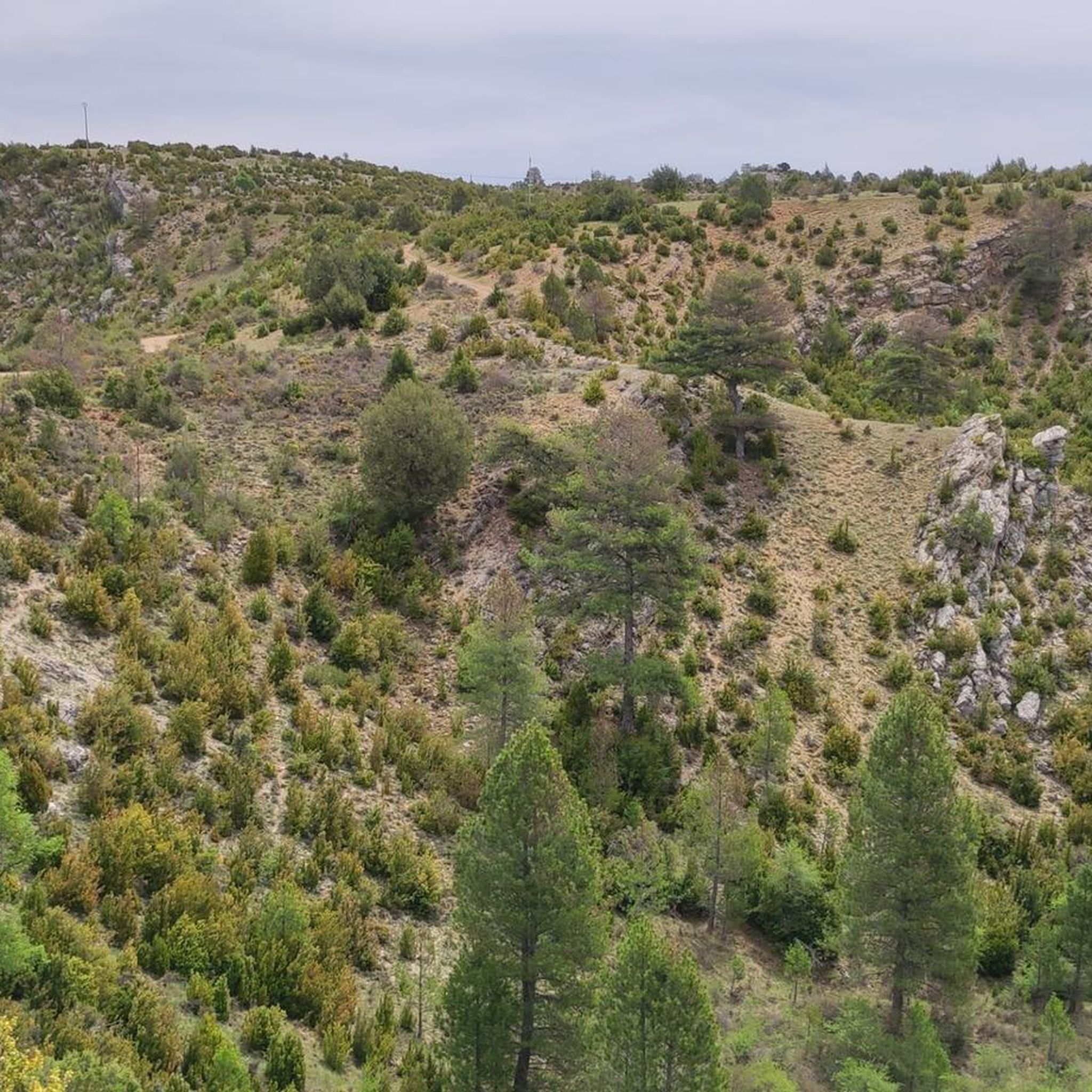
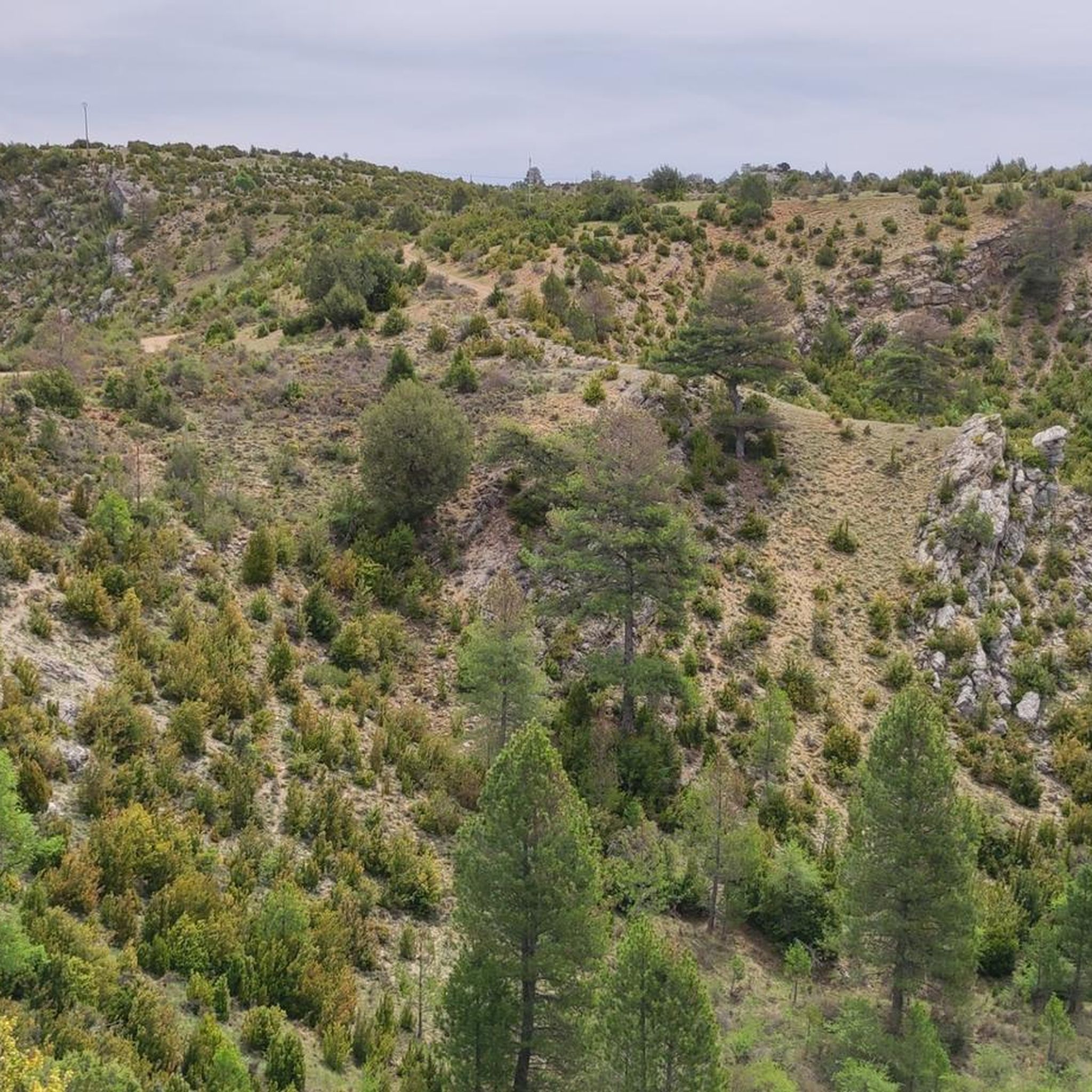
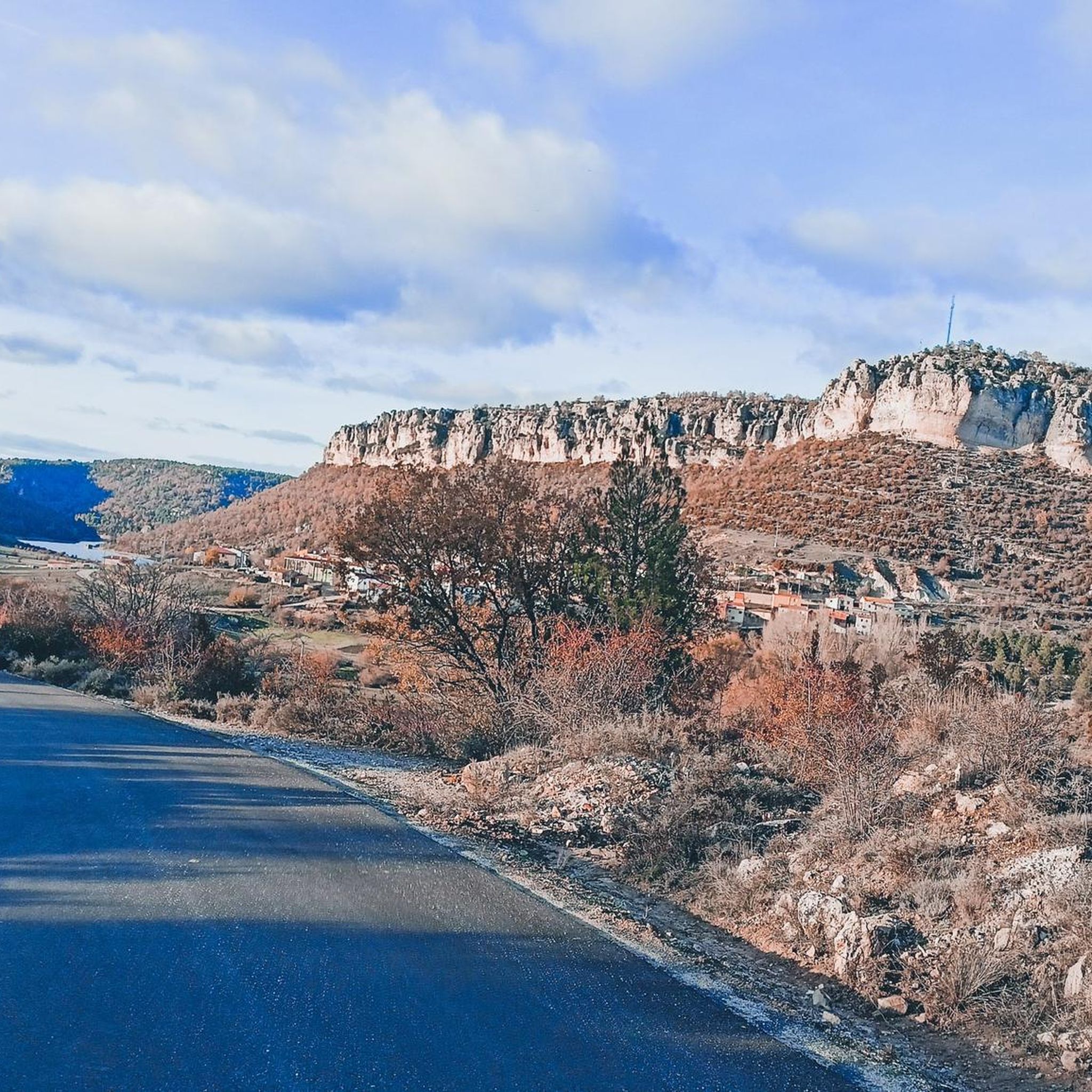

Tips from the Community

Small transient population with little more relevance than a local restaurant by the road and coming from the road a poorly maintained area that can serve as temporary shelter.
0
0

This is one of the attractions of the mountains, offering a natural spectacle as we observe the significant source of the Cuervo River. The area also offers parking, rest areas, and several bars and restaurants for lunch.
8
0
Here we find some informational signs about the spring of the famous Cuervo River. In this area, there are ample parking and shaded areas where you can rest.
8
0
We are at the entrance to the source of the Cuervo River, where there are shaded areas and open spaces for parking, as well as stone tables for lunch if we wish.
9
0

Breathtaking views. Whether you're walking, biking, or running, the place is beautiful.
0
0

Peralejos de las Truchas is a charming village in the heart of the Alto Tajo Natural Park, ideal for a rural getaway. Peralejos de las Truchas is known for its unspoiled natural surroundings and tranquillity, making it a perfect destination to unwind and enjoy nature.
4
0
The Cuervo River Spring is a dream place in the Serranía de Cuenca, Spain. This Natural Monument houses a main waterfall with a height of more than 20 meters, leaving those who contemplate it breathless. Here, the Cuervo River springs from a spring of travertine origin, flowing over limestone rock covered with moss, forming beautiful waterfalls called chorreras.
12
0

In Molina we have everything: accommodation, shops, pharmacy. Good place to refuel
1
0
Frequently Asked Questions
What kind of terrain can I expect on road cycling routes around Lagunaseca?
Road cycling around Lagunaseca is characterized by challenging routes with significant elevation changes. You'll encounter undulating hills, river valleys like the Cabrillas River, and notable rock formations. The terrain demands demanding climbs and descents across varied surfaces, making it suitable for experienced road cyclists.
Are there any easy or beginner-friendly road cycling routes in Lagunaseca?
The road cycling routes listed for Lagunaseca are primarily classified as difficult, featuring substantial elevation gains and challenging terrain. There are no routes specifically designated as easy or moderate, suggesting the area is best suited for experienced road cyclists seeking a demanding ride.
What are some of the natural attractions or landmarks I can see while road cycling in Lagunaseca?
While road cycling around Lagunaseca, you can encounter several natural attractions. Routes often pass through areas with unique geological features, such as the Peralejos de las Truchas Cliffs and the Peralejos de las Truchas Canyon. You might also find viewpoints like the Estrecho del Horcajo Viewpoint, and natural monuments such as the Torcas de Lagunaseca. The Source of the Cuervo River and its waterfall are also notable natural features in the wider region.
Are there any circular road cycling routes available?
Yes, all the featured road cycling routes around Lagunaseca are loops. For example, you can explore the Cabrillas River – Rock Formations of Chequilla loop from Peralejos de las Truchas, or the longer Peralejos de las Truchas – Molina de Aragón loop from Peralejos de las Truchas, both offering a return to your starting point.
What is the typical distance and elevation gain for road cycling routes in this area?
The road cycling routes around Lagunaseca typically range from approximately 34 miles (55 km) to 52 miles (84 km) in distance. Elevation gains are substantial, generally between 3,200 feet (990 m) and 4,300 feet (1,320 m), reflecting the challenging nature of the terrain.
What is the best time of year to go road cycling in Lagunaseca?
The region generally experiences a mild, temperate climate year-round, making it suitable for outdoor activities in any season. Spring brings wildflowers and green hills, while winter offers misty mornings and quiet roads. Coastal fog can provide natural cooling during warmer months, and coastal winds add to the experience. Always check local weather conditions before heading out.
Are there any family-friendly road cycling options in Lagunaseca?
Given that all listed road cycling routes in Lagunaseca are classified as difficult with significant elevation changes, they are generally not recommended as family-friendly options, especially for younger children or beginner cyclists. These routes are better suited for experienced riders.
Where can I find parking for road cycling routes in Lagunaseca?
Specific parking details for each trailhead are not provided in the route descriptions. However, many routes start from towns such as Peralejos de las Truchas, Huerta de Marojales, Beteta, or Fuente de la Carrera, where local parking options may be available. It is advisable to check local information for these starting points before your ride.
Are there places to stop for food or accommodation along the road cycling routes?
Some routes pass through or near towns and villages, such as the Peralejos de las Truchas – Molina de Aragón loop which connects local towns. The Cañamares natural pool – Camping La Dehesa loop also leads through areas with camping facilities. These locations may offer opportunities for cafes, pubs, or accommodation. Planning your route in advance and checking for amenities in specific towns along your chosen path is recommended.
How many road cyclists have explored the Lagunaseca area using komoot?
Over 79 road cyclists have used komoot to explore the varied and challenging terrain of Lagunaseca, indicating a vibrant community of riders enjoying the area's routes.
What is the most popular road cycling route in Lagunaseca?
The most popular road cycling route is the Cabrillas River – Rock Formations of Chequilla loop from Peralejos de las Truchas. This 34.1-mile (54.9 km) difficult route offers scenic views of river landscapes and unique geological formations.
Can I find routes that include natural pools or camping facilities?
Yes, the Cañamares natural pool – Camping La Dehesa loop from Huerta de Marojales is a 44.3-mile (71.2 km) route that specifically leads through areas featuring natural pools and camping facilities, offering opportunities for breaks or overnight stays.
Most popular attractions around Lagunaseca

Get inspired with the komoot mobile app


Explore more
Browse the best Road cycling routes in other regions.
