The best walks and hikes around Villaciervos
4.6
(22)
250
hikers
27
hikes
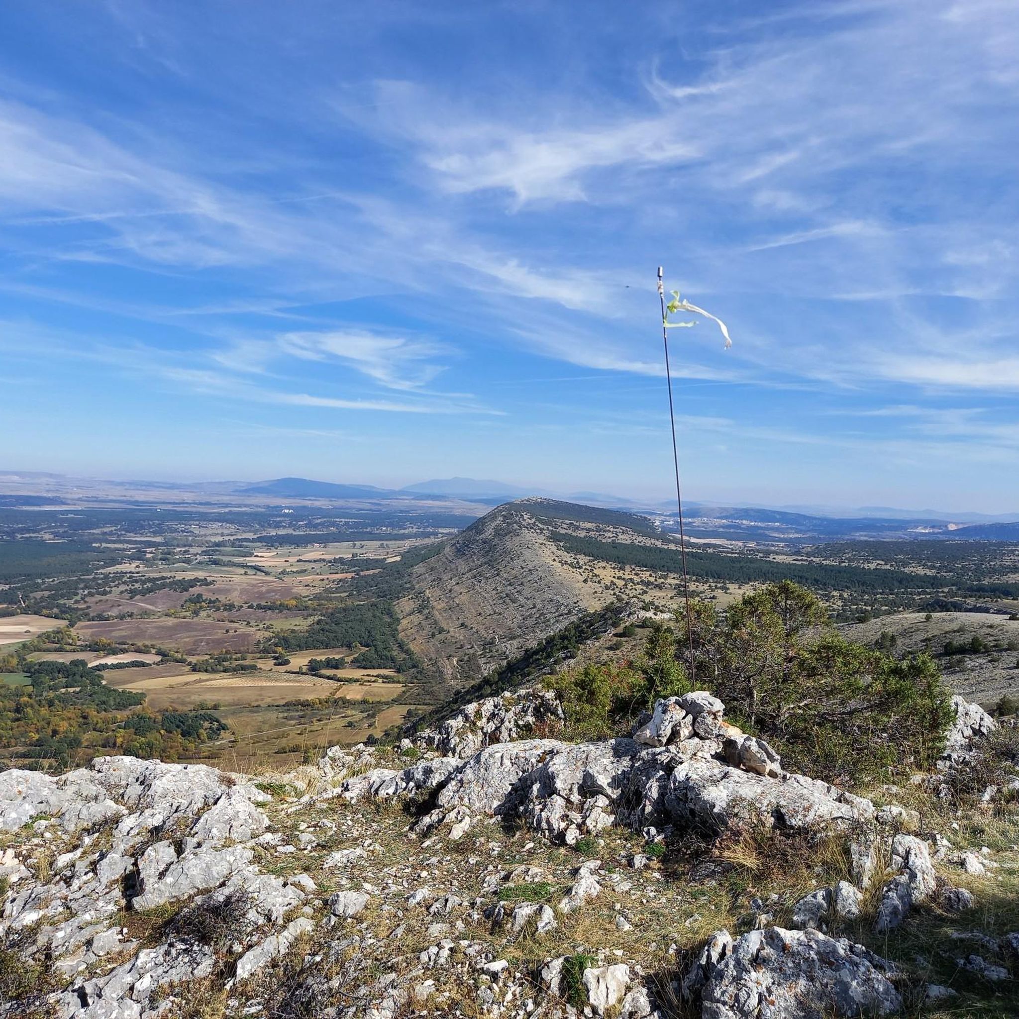
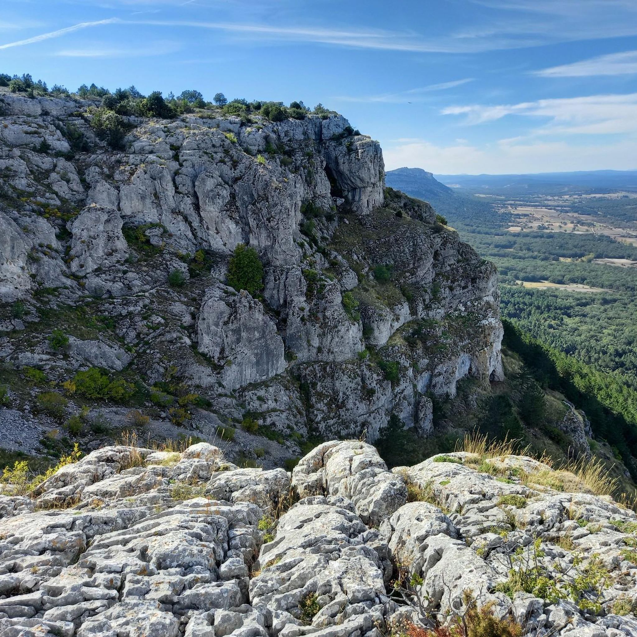
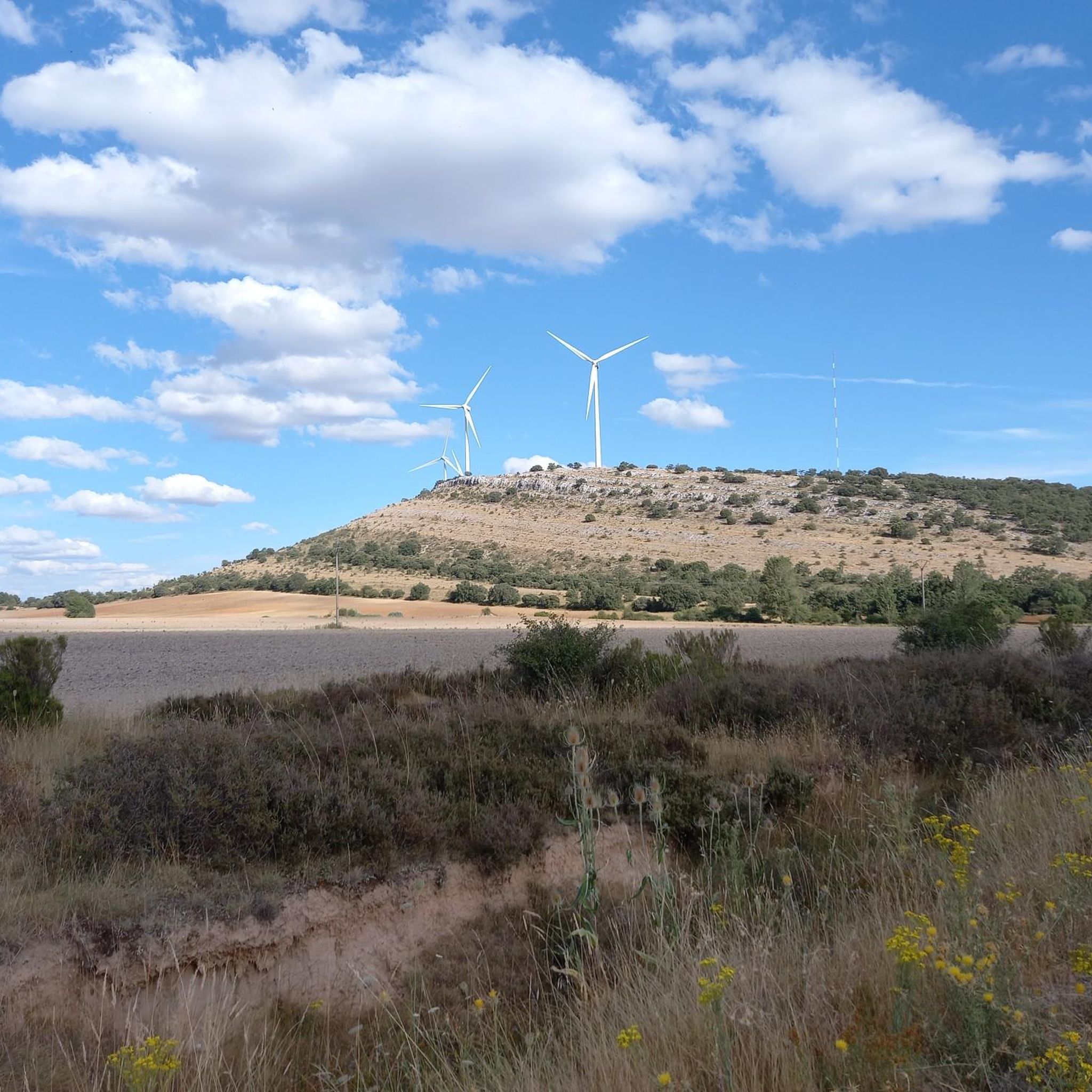
Hiking around Villaciervos offers diverse natural landscapes characterized by prominent peaks, extensive forests, and notable water features. The region provides panoramic views of surrounding mountain ranges and features natural springs. Trails traverse varied terrain, including areas around Pico Frentes and Monte Valonsadero.
Best hiking trails around Villaciervos
- The most popular hiking route is Pico Frentes and La Toba Waterfall Loop Trail, a 5.9 miles (9.5 km) trail that takes 2 hours 46 minutes to complete. This route offers waterfall…
Last updated: May 16, 2026
3.0
(2)
28
hikers
9.48km
02:47
270m
270m
Moderate hike. Good fitness required. Easily-accessible paths. Suitable for all skill levels.
5.0
(1)
2
hikers
Easy hike. Great for any fitness level. Easily-accessible paths. Suitable for all skill levels.

Sign up for free
4.5
(2)
3
hikers
10.5km
02:58
230m
230m
Moderate hike. Good fitness required. Easily-accessible paths. Suitable for all skill levels.
Moderate hike. Good fitness required. Easily-accessible paths. Suitable for all skill levels.
4.4
(5)
12
hikers
Moderate hike. Good fitness required. Easily-accessible paths. Suitable for all skill levels.
Get access to more routes and recommendations from other explorers.
Sign up for free
Already have an account?
Our route recommendations are based on thousands of hikes, rides, and runs completed by other people on komoot.
Start today with a free account
Your next adventure awaits.
Login or Signup

Tips from the Community

A nice area to walk
1
0
A beautiful high altitude route, it requires a certain effort and skill.
1
0

This trail runs parallel to the Bajero River, which feeds the Cuerda del Pozo reservoir. It is a very pleasant walk, enjoying the vegetation that surrounds the reservoir.
1
1

Along this small road you can see the riverbed of the Cuerda del Pozo Reservoir and its clear waters. Beautiful road indeed!
0
0

The Fuentervilla recreational area is an ideal place to take a break and recover energy before continuing with our route. Always Surrounded by nature, we will find a refuge and a source.
2
0
Walking along the main road, a sign will indicate that 300 meters away we will find this spring belonging to the Abejar fountains and springs route
2
0
From the viewpoint of the walls we have excellent views of the landscape that surrounds us and in the background, the Cuerda del Pozo Reservoir. In the place we will find an information panel that will give us more details of what our eyes see.
0
0
Nice painting next to the Pedrajas river that leads us to its source about 500 meters away.
2
0
Frequently Asked Questions
What types of hiking trails are available in Villaciervos?
Villaciervos offers a diverse range of hiking trails, from easy paths to more challenging routes. You'll find trails traversing varied terrain, including prominent peaks, extensive forests, and areas with notable water features. There are 27 routes in total, with 8 easy, 18 moderate, and 1 difficult trail to explore.
Are there any trails with waterfalls in Villaciervos?
Yes, the region is home to the impressive La Toba Waterfall. You can experience it on the Pico Frentes and La Toba Waterfall Loop Trail. This moderate 5.9-mile (9.5 km) route offers stunning waterfall views, particularly during rainy periods or thaws when the over 20-meter high waterfall is at its most powerful.
Which trails offer the best panoramic views in Villaciervos?
For extensive views across the landscape, consider the Abejar Springs and Viewpoints Loop. The Pico Frentes and La Toba Waterfall Loop Trail also provides panoramic summits with views of surrounding peaks like Urbión, Cebollera, and Moncayo.
Are there family-friendly hiking options in Villaciervos?
Yes, there are several easy trails suitable for families. A great option is the Pinturas rupestres, Cañada Honda y Mirador La Cabaña – circular por el Monte Valonsadero, an easy 2.6-mile (4.1 km) trail that takes about 1 hour 7 minutes to complete.
What are some notable landmarks or attractions near the hiking trails?
Beyond the natural beauty, you can explore several interesting sites. The Cañada Honda Rock Art Site is near the Monte Valonsadero trails. The Cuerda del Pozo Reservoir and its Dam are also nearby, offering scenic views and recreational opportunities.
Can I find circular hiking routes in Villaciervos?
Many of the trails in Villaciervos are designed as loops, allowing you to start and end at the same point. Examples include the Pico Frentes and La Toba Waterfall Loop Trail and the Abejar Springs and Viewpoints Loop.
What do other hikers enjoy most about hiking in Villaciervos?
The komoot community highly rates the hiking experience in Villaciervos, with an average score of 4.7 stars from over 19 reviews. Hikers often praise the diverse natural landscapes, the stunning views from various vantage points, and prominent natural features like La Toba Waterfall.
Is there parking available at the trailheads?
While specific parking details for every trailhead are not listed, many popular hiking areas in Villaciervos, such as those around Pico Frentes and Monte Valonsadero, typically have designated parking areas or roadside spots available for hikers. It's advisable to check local signage upon arrival.
Are there any places to rest or picnic along the trails?
Yes, the Fuentervilla Recreational Area is an ideal spot for hikers to rest and refuel. It provides a refuge and a natural spring, making it a pleasant stop amidst the natural surroundings.
What is the best time of year to go hiking in Villaciervos?
Villaciervos offers compelling hiking opportunities throughout much of the year. The La Toba waterfall is particularly impressive during rainy periods or thaws, suggesting spring and autumn can be excellent for water features. Generally, spring and early autumn provide pleasant temperatures for exploring the diverse landscapes.
Are there any trails that pass by lakes or reservoirs?
Yes, the region features several beautiful water bodies. The Embalse de la Cuerda del Pozo – Cuerda del Pozo Reservoir loop from Restaurante Urbión is a moderate 8.4 km trail that takes you around the reservoir. You can also find highlights like Los Rábanos and Reservoir nearby.
Most popular routes around Villaciervos
Most popular attractions around Villaciervos

Get inspired with the komoot mobile app


Explore more
Browse the best Hikes in other regions.
