The best MTB trails around Ponts
4.3
(21)
431
riders
55
rides
Mountain bike trails around Ponts offer a diverse landscape for riders. The region features varied terrain, including river valleys, forested areas, and rolling hills, providing a mix of ascents and descents. Routes often follow natural waterways like the Segre River and pass through historical sites. The area's geology contributes to a range of riding conditions suitable for different skill levels.
Best mountain bike trails around Ponts
- The most popular mountain bike trail is Abandoned Village of Claret loop from Ponts…
Last updated: October 7, 2026
37
riders
98.6km
07:18
1,070m
1,070m
Hard mountain bike ride. Very good fitness required. Suitable for all skill levels.
19
riders
56.5km
04:16
640m
640m
Moderate mountain bike ride. Good fitness required. Suitable for all skill levels.

16
riders
41.1km
03:30
790m
790m
Moderate mountain bike ride. Good fitness required. Suitable for all skill levels.
9
riders
39.5km
02:54
350m
350m
Moderate mountain bike ride. Good fitness required. Suitable for all skill levels.
3.5
(2)
11
riders
34.7km
03:13
880m
880m
Moderate mountain bike ride. Good fitness required. Suitable for all skill levels.
Get access to more routes and recommendations from other explorers.
Already have an account?
Our route recommendations are based on thousands of hikes, rides, and runs completed by other people on komoot.
Start today with a free account
Your next adventure awaits.
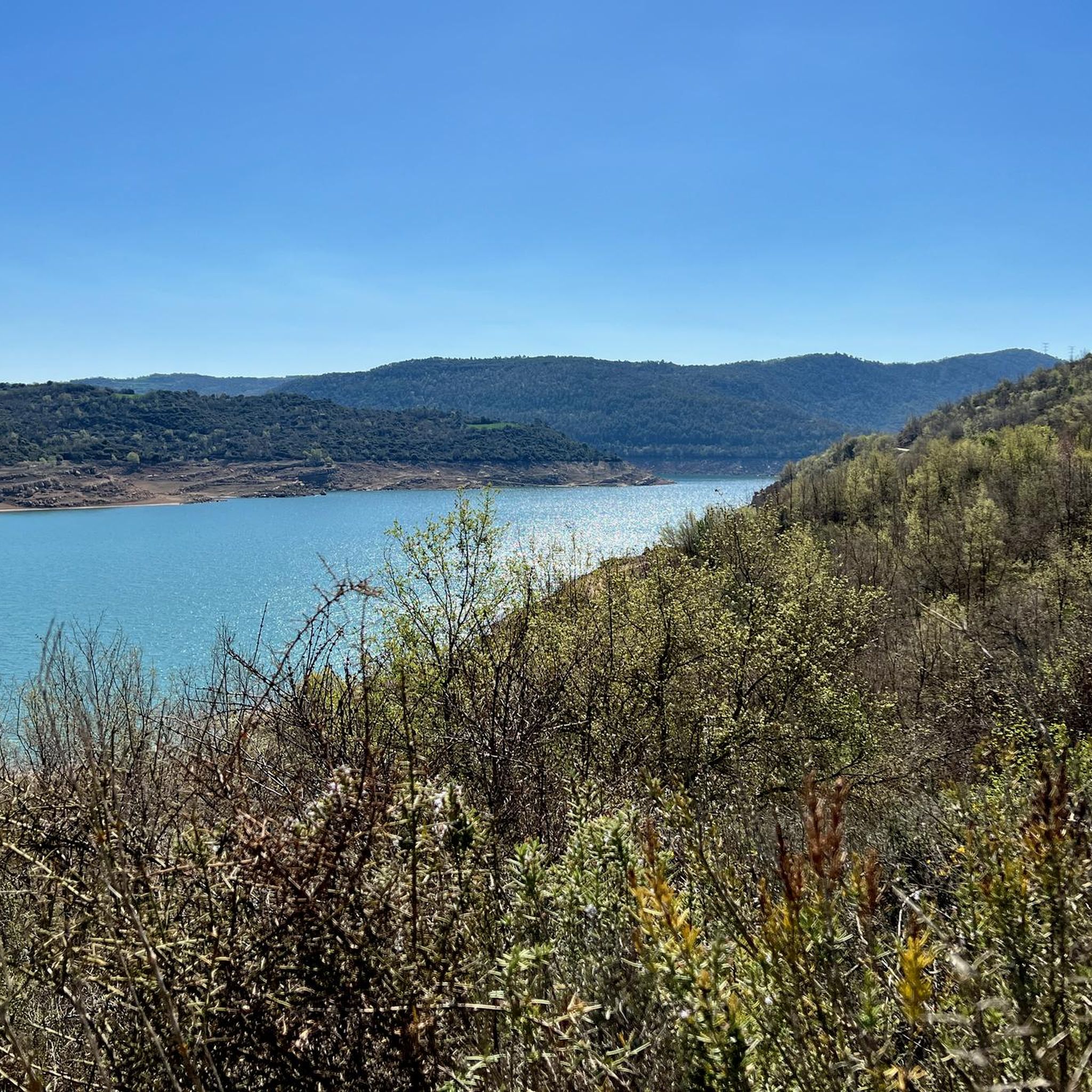
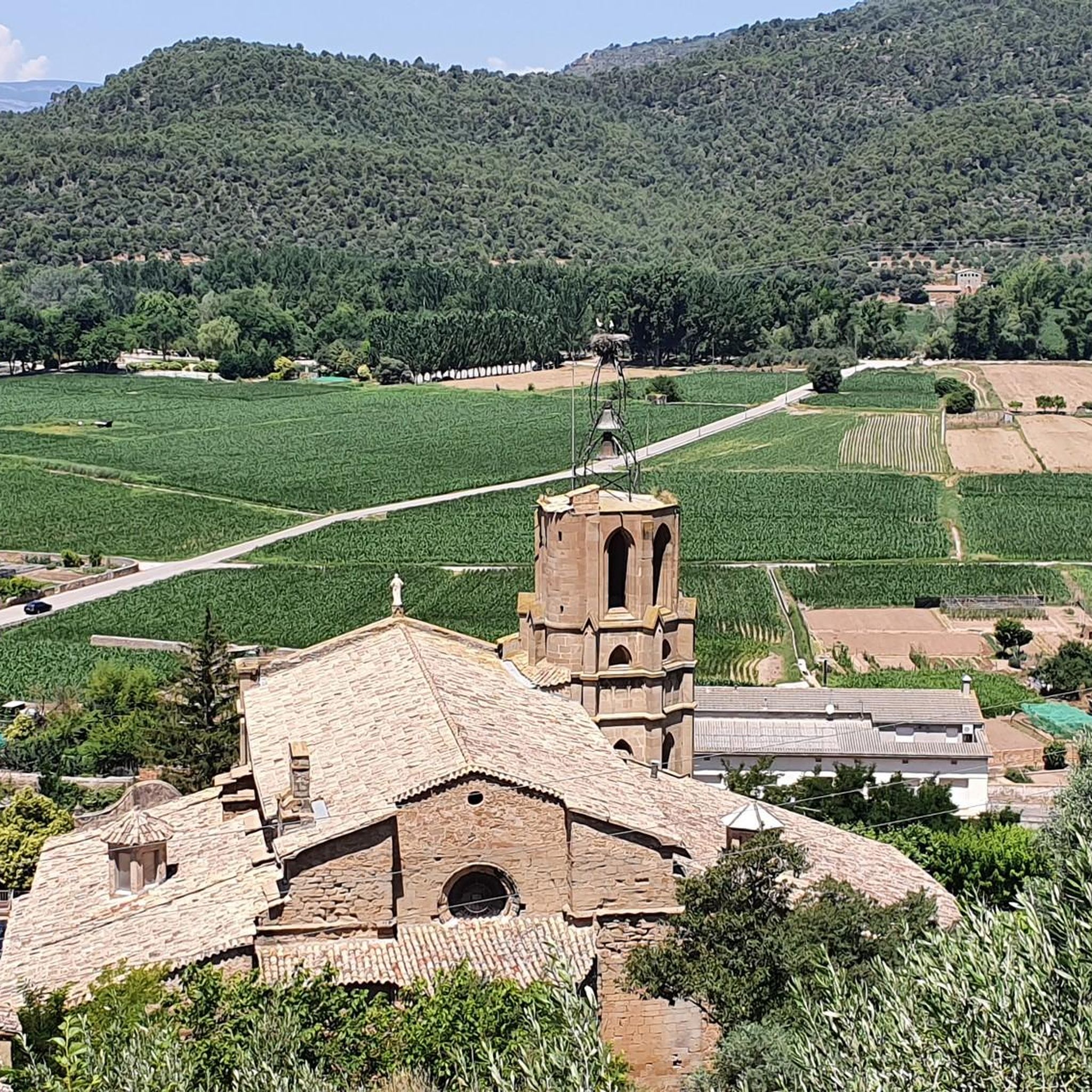
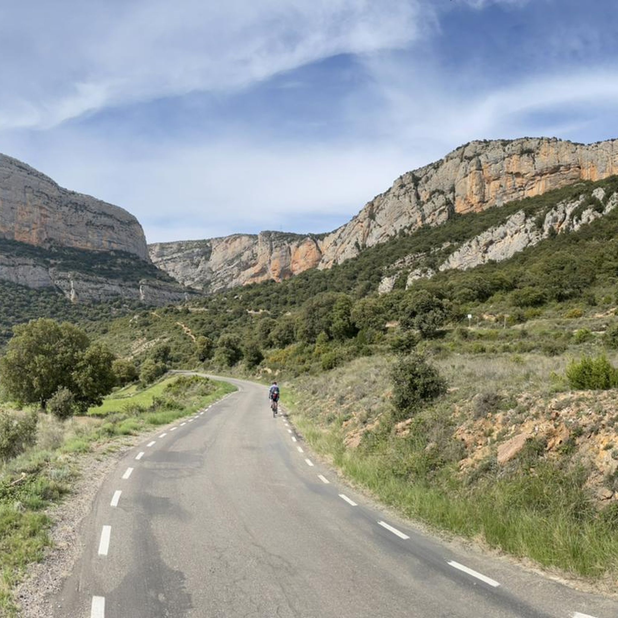

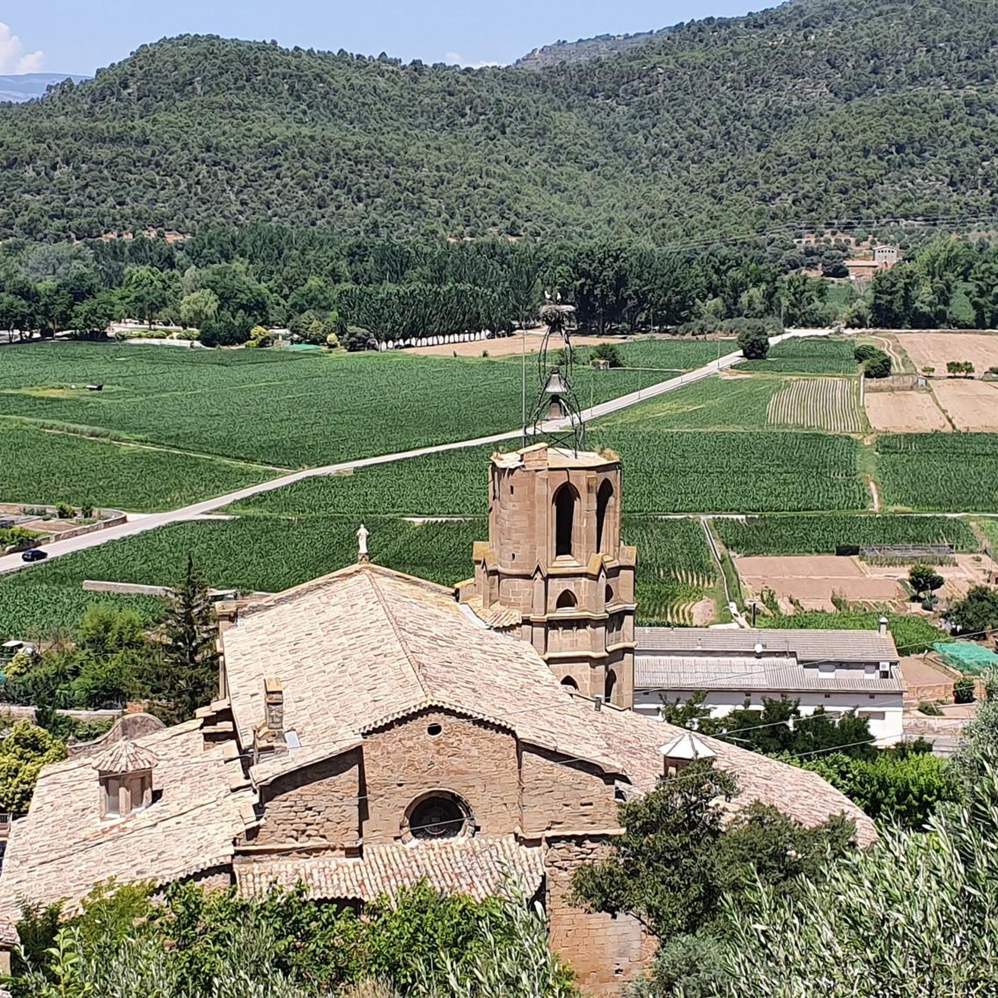
Tips from the Community

The Canal d'Urgell is a hydraulic infrastructure intended for irrigation, which carries water from the Segre River to the fields of crops in different municipalities in the counties of Urgell, Pla d'Urgell, Noguera, Segrià and Garrigues, with a total irrigated area of about 70,000 hectares and serving about 77,000 inhabitants. This infrastructure is on the left bank of the Segre River. It begins in the Segre River downstream of the town of Ponts and after traveling about 144 km it ends its route in the town of Montoliu de Lleida. Source: Wikipedia.
0
0
Sports area for kayaking and rafting on the Segre River, near the Roca del Call Park, in the town of Ponts. It is also the starting point of the Ranxo Gravel walk.
0
0
Small wooden bridge that allows you to cross the Llobregós at the level of its confluence with the Segre River.
0
0
Sports facility for rafting on the Segre River and service canals.
0
0
It begins on the Segre River downstream from the town of Ponts and after traveling about 144 km it ends its route in the town of Montoliu de Lleida.
0
0
Small town located on top of a hill, abandoned, and part of the La Noguera region.
0
0


Pretty town in the region of La Noguera, in the province of Lleida. In the towns that make up the municipality of Vilanova de la Aguda, we find castles, churches, hermitages and chapels with a great history.
0
0
Frequently Asked Questions
How many mountain bike trails are there in Ponts?
Ponts offers a wide selection of mountain bike trails, with over 60 routes available. These trails cater to various skill levels, ranging from moderate to difficult, ensuring there's something for every rider.
What kind of terrain can I expect on mountain bike trails around Ponts?
The mountain bike trails around Ponts feature a diverse landscape, including river valleys, forested areas, and rolling hills. You'll encounter a mix of ascents and descents, with routes often following natural waterways like the Segre River. The region's geology contributes to varied riding conditions.
Are there mountain bike trails suitable for beginners in Ponts?
While many routes in Ponts are moderate to difficult, there are 7 trails specifically rated as easy, making them suitable for beginners or those looking for a more relaxed ride. These trails offer a gentle introduction to the region's scenic beauty.
What about more challenging routes for experienced riders?
Experienced riders will find plenty of challenges in Ponts, with 8 routes rated as difficult. One such route is the Abandoned Village of Claret – Start of the Canal d'Urgell loop from Ponts, a 42.0-mile path that combines historical exploration with varied terrain, including sections along the Canal d'Urgell.
Can I find circular mountain bike routes in Ponts?
Yes, many mountain bike routes in Ponts are designed as loops, allowing you to start and finish in the same location. For example, the popular Abandoned Village of Claret loop from Ponts is a 33.0-mile circular trail exploring historical areas with scenic views.
Are there any interesting historical sites or landmarks to see along the trails?
Absolutely. Mountain bike routes in Ponts often pass by significant historical sites and natural features. You might encounter the Abandoned Village of Claret, the Hermitage of Sant Magí de Guardiola, or sections of the Canal d'Urgell. Several routes also offer views of historic castles like Montsonís Castle.
What is the best time of year for mountain biking in Ponts?
The diverse terrain of Ponts, with its river valleys and forested areas, generally offers pleasant riding conditions during spring and autumn when temperatures are milder. Summer can be warm, while winter might bring cooler temperatures, but many trails remain accessible depending on local weather patterns.
Is it possible to access mountain bike trails in Ponts using public transport?
While specific public transport options directly to trailheads can vary, Ponts itself is a town that may have bus connections. For detailed information on public transport routes and schedules to Ponts or nearby villages, it's advisable to check local transport authority websites.
Where can I park my car when visiting mountain bike trails in Ponts?
Ponts, as a regional center, typically offers various parking facilities within the town. Many routes start directly from Ponts, making it convenient to park in designated areas before beginning your ride. For specific trailheads outside the town, look for local signage indicating parking availability.
What do other mountain bikers say about the trails in Ponts?
The mountain bike trails in Ponts are highly regarded by the komoot community, holding an average rating of 4.5 stars from over 14 reviews. Riders often praise the varied terrain, the mix of challenging climbs and flowing descents, and the scenic beauty of the riverine landscapes and historical sites.
Are there any family-friendly mountain bike options in Ponts?
For families, the 7 easy-rated trails in Ponts provide excellent opportunities for a shared outdoor experience. These routes are generally less demanding, allowing families to enjoy the natural surroundings and gentle riding without excessive challenge. Always check the specific trail details for suitability.
Can I bring my dog on the mountain bike trails in Ponts?
Many outdoor trails in the Ponts region are dog-friendly, provided dogs are kept under control, especially around wildlife or livestock. It's always best to check specific trail regulations or local signage, and ensure you carry water for your dog and clean up after them.
Are there any specific viewpoints or scenic spots along the mountain bike routes?
Yes, the routes often traverse rolling hills and river valleys, offering numerous scenic spots. The Kayak Zone on the River loop from Ponts, for instance, leads through beautiful riverine landscapes, providing picturesque views of the Segre River. Many trails also offer panoramic vistas of the surrounding countryside.
What is the typical distance of mountain bike routes in Ponts?
The mountain bike routes in Ponts vary significantly in distance. You can find shorter rides, but many popular trails range from approximately 25 miles (41 km) to over 40 miles (67 km). For example, the Wooden Bridge – Start of the Canal d'Urgell loop from Ponts is about 25 miles (40.6 km).
Most popular attractions around Ponts

Get inspired with the komoot mobile app


Explore more
Browse the best MTB trails in other regions.
