The best running trails around National Park Cabo Cope y Puntas de Calnegre
4.2
(25)
952
runners
15
runs
Jogging routes National Park Cabo Cope y Puntas de Calnegre traverse a diverse coastal landscape, featuring a 17-kilometer stretch of varied terrain. The region is characterized by beaches, secluded coves, and dramatic cliffs, offering both flat and challenging inclines. Inland areas include coastal mountain ranges, dry riverbeds (ramblas), and salt marshes (saladares), providing a mix of surfaces for running.
Best jogging routes around National Park Cabo Cope y Puntas de Calnegre
- The most popular jogging route is Cope Tower –…
Last updated: August 9, 2026
2
runners
6.32km
00:52
250m
250m
Moderate run. Good fitness required. Mostly paved surfaces. Suitable for all skill levels.
4.0
(1)
26
runners
14.1km
01:35
50m
50m
Moderate run. Good fitness required. Mostly paved surfaces. Suitable for all skill levels.

Sign up for free
27
runners
10.5km
01:07
50m
50m
Moderate run. Good fitness required. Mostly paved surfaces. Suitable for all skill levels.
5
runners
5.77km
00:38
50m
50m
Moderate run. Good fitness required. Mostly paved surfaces. Suitable for all skill levels.
10
runners
32.0km
03:26
260m
260m
Hard run. Very good fitness required. Mostly paved surfaces. Suitable for all skill levels.
Get access to more routes and recommendations from other explorers.
Sign up for free
Already have an account?
Our route recommendations are based on thousands of hikes, rides, and runs completed by other people on komoot.
Start today with a free account
Your next adventure awaits.
Login or Signup
Popular around National Park Cabo Cope y Puntas de Calnegre

Let’s head south – cycle in Andalusia with me and my dog
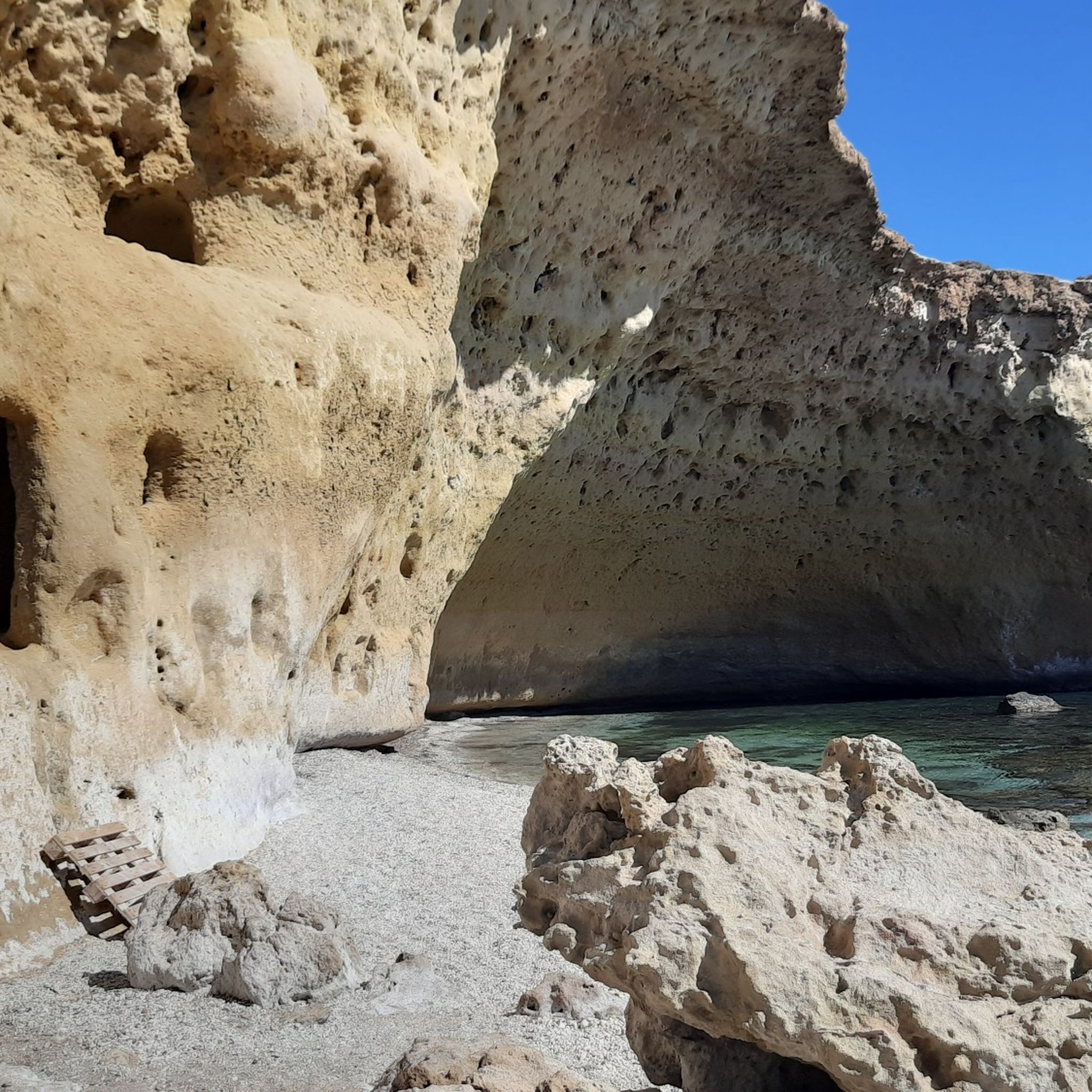
Hiking around National Park Cabo Cope y Puntas de Calnegre
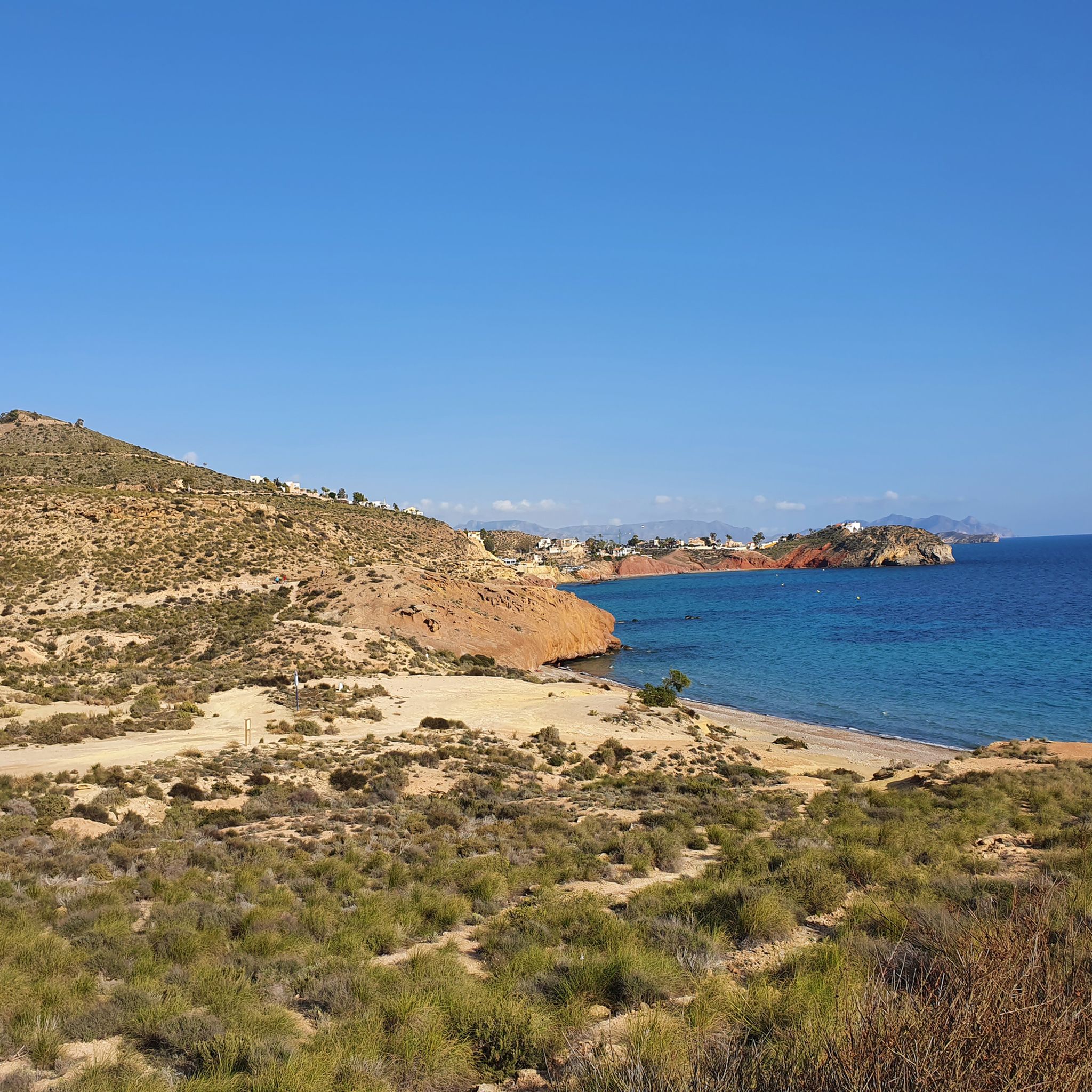
Cycling around National Park Cabo Cope y Puntas de Calnegre
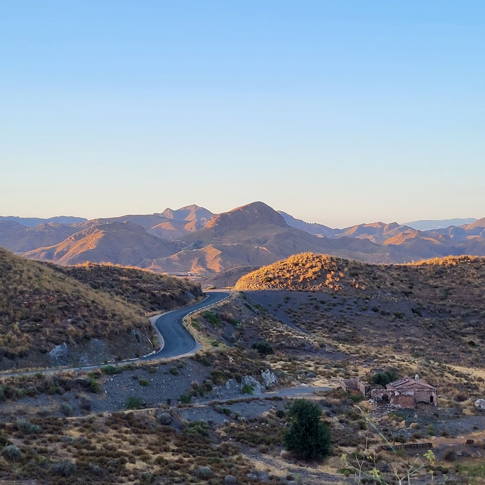
Road Cycling Routes around National Park Cabo Cope y Puntas de Calnegre
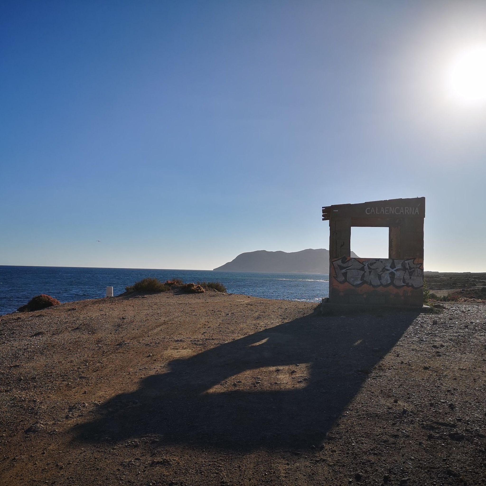
MTB Trails around National Park Cabo Cope y Puntas de Calnegre

Gravel biking around National Park Cabo Cope y Puntas de Calnegre
Other adventures around National Park Cabo Cope y Puntas de Calnegre

Tips from the Community

The Castle of San Juan de las Águilas is an impressive fortress located atop the Cerro de las Águilas hill in the town of Águilas (Murcia), with spectacular views of the Mediterranean Sea and the city.
3
0

The tower can be climbed via an outside staircase.
1
0

Imposing defense tower intended to protect the shepherds against invaders from Africa
9
0

Las Delicias beach is one of the most beautiful spots in Águilas, from here you can see the entire coastline of the city and you can see the particular building of the auditorium and congress palace.
1
0
Torre de Copes was built in the 16th century to protect Spanish shepherds and fishermen from pirates from Africa. The unique tower is on the Spanish heritage list.
9
0
The castle offers a beautiful view, no wonder that the military chose this in the past.
8
1
Beautiful pieces of nature can still be found between the villages. You can camp in the dunes and you look really nice there, as long as it is tolerated. And yes, few campsites are open in the winter, so why not be so beautiful by the sea?
9
0
Frequently Asked Questions
How many running routes are available in National Park Cabo Cope y Puntas de Calnegre?
There are over 60 running routes available in National Park Cabo Cope y Puntas de Calnegre, offering a wide variety of distances and difficulty levels to suit different preferences.
What kind of terrain can I expect on the running trails in the park?
The park offers a diverse coastal landscape. You'll find a mix of terrains including beaches with fine black sand, secluded coves, dramatic cliffs, and rocky sections. Inland, there are coastal mountain ranges, dry riverbeds (ramblas), and salt marshes (saladares). The 17-kilometer coastal path, often referred to as the GR-92, provides continuous running along the picturesque coastline.
What do other runners say about the trails in National Park Cabo Cope y Puntas de Calnegre?
The running routes in National Park Cabo Cope y Puntas de Calnegre are highly rated by the komoot community, with an average score of 4.3 stars from over 20 reviews. Runners frequently praise the varied terrain, stunning coastal views, and the opportunity to explore historical landmarks.
When is the best time of year to go running in the park?
The generally good climate allows for running year-round. However, during the hot summer months, it's highly advisable to bring plenty of water and sun protection. Spring and autumn offer particularly pleasant conditions for exploring the trails.
Are there running routes suitable for beginners or those looking for an easy run?
Yes, the park offers options for various fitness levels. There are 7 easy running routes available, providing accessible paths for beginners or those preferring a more relaxed pace. These routes often feature less elevation gain and smoother surfaces.
Are there any circular running routes in the park?
Absolutely. Many runners enjoy circular routes for their convenience. A popular option is the Running circular at Cocón de Cope, a 3.9-mile (6.3 km) trail with varied terrain and an elevation gain of 814 ft (248 m).
Can I bring my dog on the running trails?
While the park is a natural area, specific regulations regarding dogs on trails can vary. It's generally recommended to keep dogs on a leash to protect wildlife and ensure a pleasant experience for all visitors. Always check local signage for any specific restrictions in certain areas.
What landmarks or points of interest can I see while running?
The park combines natural beauty with historical interest. You can run past the 16th-century Cope Tower, a prominent defensive bastion. Other notable sights include La Galera Beach, the scenic Cocón de Cope viewpoint, and small traditional farming enclaves with fig and carob trees.
Are there any running routes that offer coastal views or beach access?
Yes, the park is renowned for its 17-kilometer coastline. Many routes offer stunning views of the Mediterranean Sea and direct access to beaches and coves. For example, the Cope Tower – La Galera Beach loop from Torre de Cope provides excellent coastal vistas and passes by La Galera Beach.
What are the elevation changes like on the running trails?
The elevation changes vary significantly across the park's routes. While some coastal paths are relatively flat, other trails, especially those venturing into the coastal mountain ranges or along dramatic cliffs, can feature challenging inclines. For instance, the Cope Tower – View of Cabo Cope loop from Torre de Cope is a difficult route with over 230 meters of elevation gain.
Is there parking available near the trailheads?
Yes, parking is generally available at various access points and near popular trailheads within and around the National Park Cabo Cope y Puntas de Calnegre. Specific parking details can often be found on individual route pages or local park information.
How can I get to the National Park Cabo Cope y Puntas de Calnegre using public transport?
While public transport options directly into the heart of the park may be limited, you can typically reach nearby towns and villages like Calabardina or Puntas de Calnegre by bus. From these points, you might need to walk or arrange for local transport to reach specific trailheads.
Are there any family-friendly running options in the park?
Yes, the park offers several routes suitable for families, particularly those with easier terrain and shorter distances. Look for trails designated as 'easy' in the komoot guide, which often provide a pleasant experience for all ages without significant challenges.
Most popular routes around National Park Cabo Cope y Puntas de Calnegre
Most popular attractions around National Park Cabo Cope y Puntas de Calnegre

Get inspired with the komoot mobile app


Explore more
Browse the best Running Trails & Routes in other regions.
