The best walks and hikes around Soraluze-Placencia De Las Armas
4.6
(450)
3,155
hikers
190
hikes
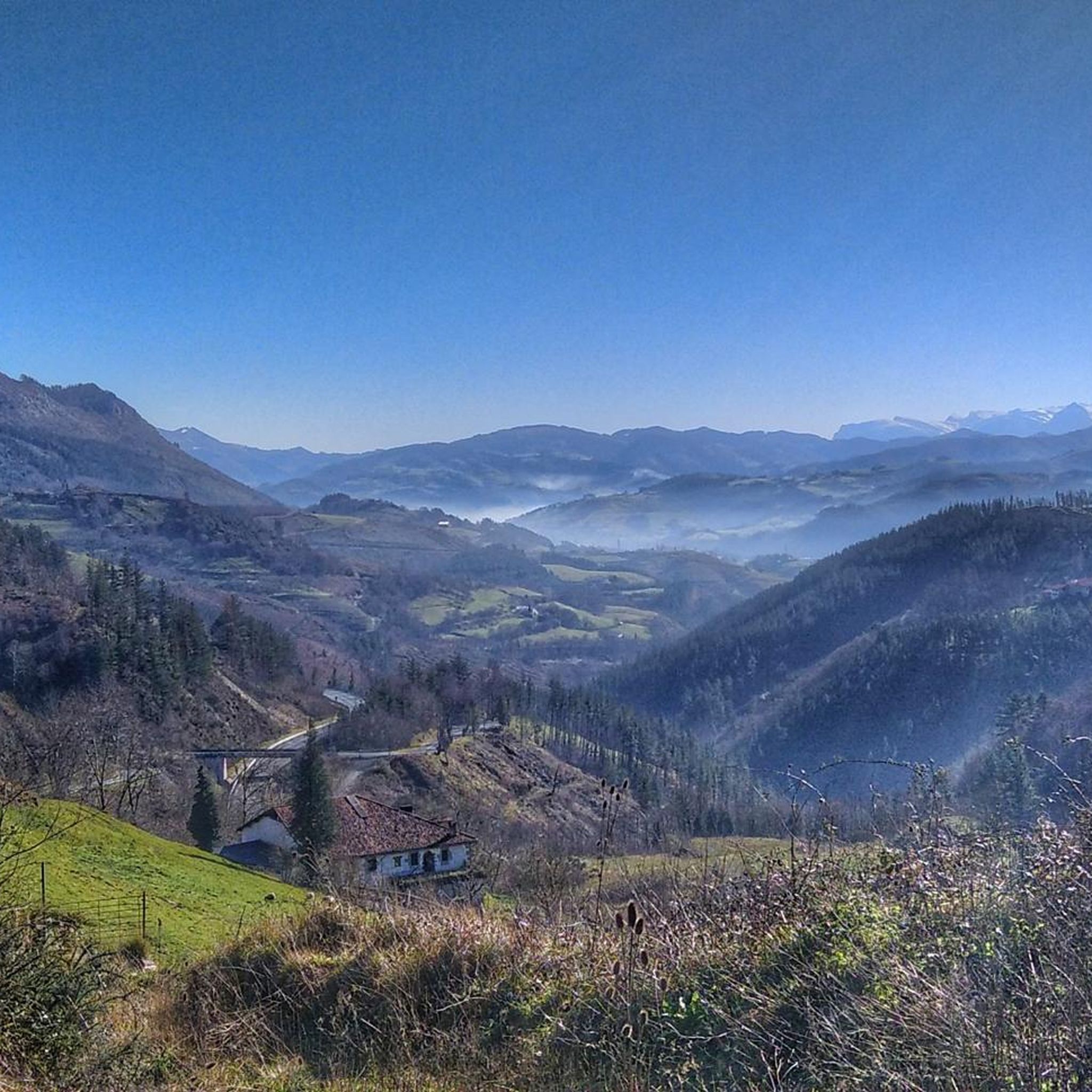
Hiking around Soraluze-Placencia De Las Armas provides access to a mountainous landscape characterized by steep terrain and rich natural features. Situated on the banks of the Deba river, the area features panoramic mountain views from various summits and green ridges. Geological formations from ancient volcanic eruptions are present, alongside traditional farmhouses and megalithic monuments.
Best hiking trails around Soraluze-Placencia De Las Armas
- The most popular hiking route is Karakate from Elgoibar - circular route Mendibai ibilbidea (GR 285), a…
Last updated: May 23, 2026
4.3
(4)
11
hikers
10.2km
03:53
650m
650m
Moderate hike. Good fitness required. Mostly accessible paths. Sure-footedness required.
4.3
(3)
51
hikers
10.5km
03:54
650m
650m
Moderate hike. Good fitness required. Mostly accessible paths. Sure-footedness required.

Sign up for free
5.0
(5)
36
hikers
9.21km
02:40
220m
220m
Moderate hike. Good fitness required. Easily-accessible paths. Suitable for all skill levels.
4.7
(6)
45
hikers
11.3km
03:56
450m
450m
Moderate hike. Good fitness required. Mostly accessible paths. Sure-footedness required.
4.5
(2)
27
hikers
7.78km
02:39
320m
320m
Moderate hike. Good fitness required. Mostly accessible paths. Sure-footedness required.
Get access to more routes and recommendations from other explorers.
Sign up for free
Already have an account?
Our route recommendations are based on thousands of hikes, rides, and runs completed by other people on komoot.
Start today with a free account
Your next adventure awaits.
Login or Signup
Popular around Soraluze-Placencia De Las Armas

Tips from the Community

The road leads you to the legendary Arrate Sanctuary, a historic summit for Basque cycling and the final stage of numerous editions of the Tour of the Basque Country and the Tour of Spain.
1
0

Once there was a cross now vandalized.
0
0

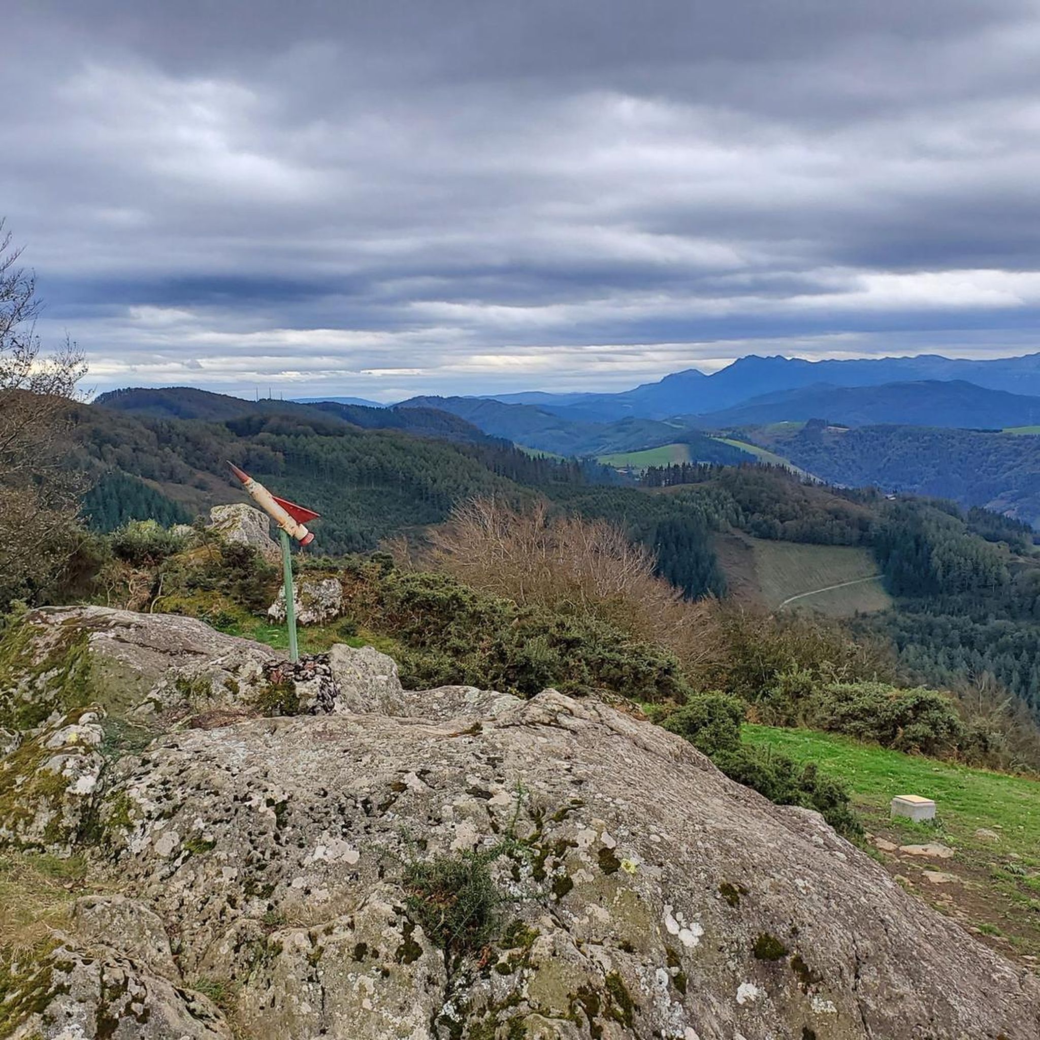
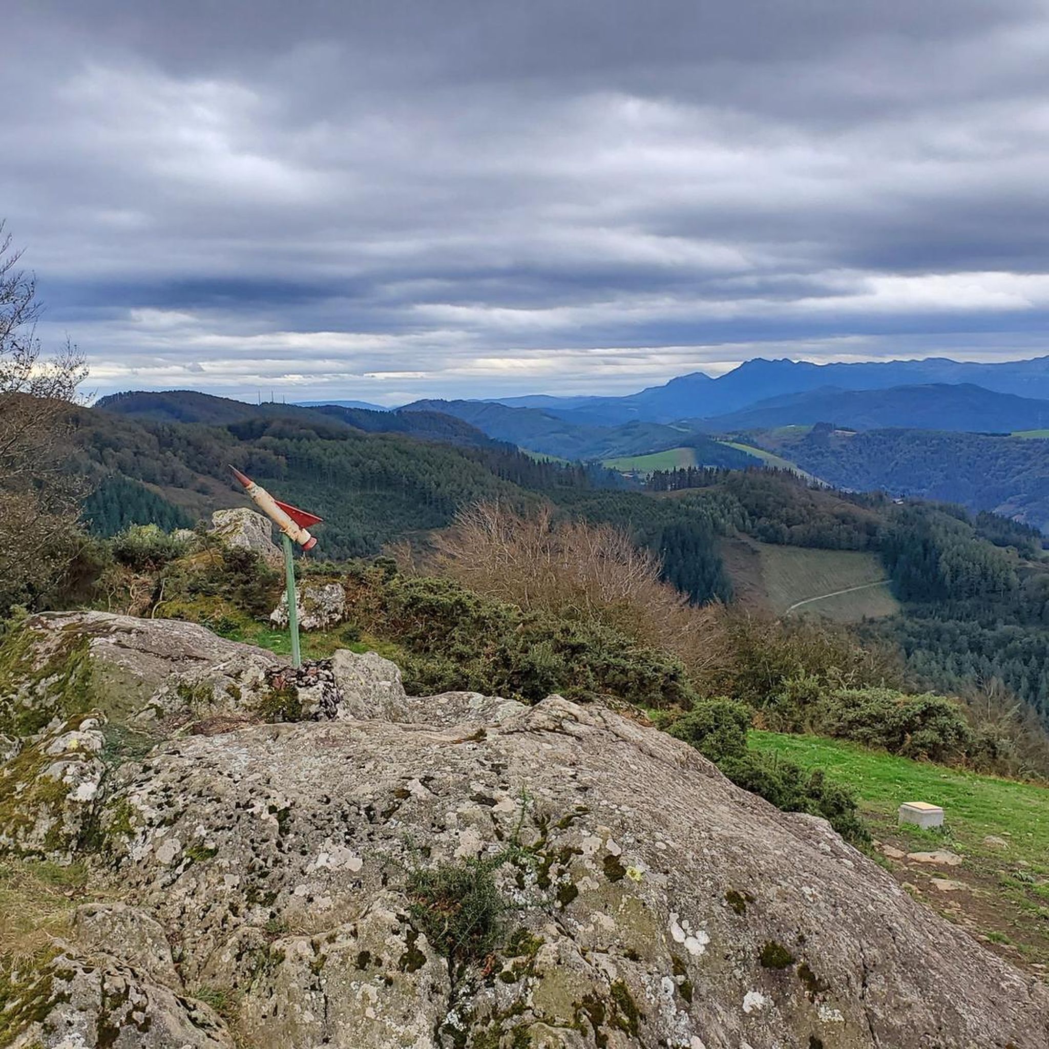
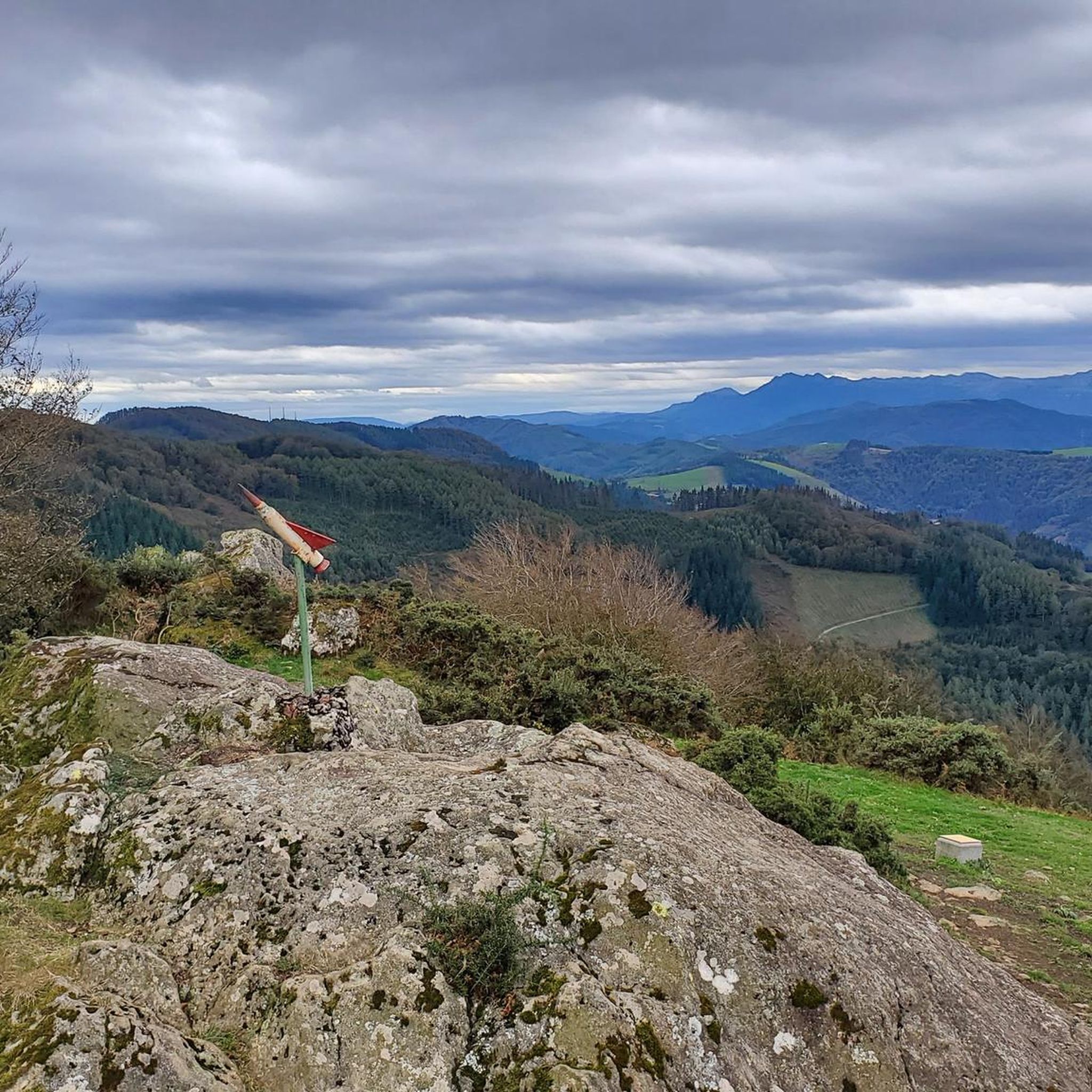
This 770 meter high summit is an excellent vantage point from which to observe the mountains that surround us. It is an outcrop of slate. At its vertex, in addition to beautiful views, you can find several mailboxes.
1
0

On a clear day the views from here are very beautiful. Here is a large radio antenna with a service building next to it. There are also several trail signs pointing out your different options.
1
0
Kurutzebakarra is the highest of the three peaks right in this area at 902 meters. There is a beautiful tree next to the peak marker and a nice field around the area.
1
0

It belongs to the Irukurutzeta or Mazelaegi massif and is located in the Deva valley, just above where this river receives its main tributary, the Ego river.
2
0

End point of the well-known climb from cycling. Is a dead end. You have to go back the same way.
0
0

Frequently Asked Questions
How many hiking trails are available in Soraluze-Placencia De Las Armas?
There are over 200 hiking routes in Soraluze-Placencia De Las Armas, offering a wide variety of options for all skill levels. The komoot community has explored these trails over 3000 times.
What kind of landscapes can I expect to see while hiking in Soraluze-Placencia De Las Armas?
You can expect a mountainous landscape with steep terrain, green ridges, and panoramic views. The area is characterized by traditional farmhouses, the Deba river, and unique geological formations from ancient volcanic eruptions. From various summits, you can often see iconic peaks like Anboto, Gorbeia, Oiz, and even the Cantabrian Sea.
Are there any historical or archaeological sites to explore on the trails?
Yes, Soraluze-Placencia De Las Armas is home to 'La Ruta de los Dólmenes' (PR-Gi 94), a 20-kilometer trail featuring a high concentration of megalithic monuments, including dolmens and tumuli over 4,000 years old. These ancient burial sites are scattered along the Karakate-Agirreburu mountain range, offering a unique blend of nature and history.
Which summits offer the best panoramic views in the region?
Several summits provide excellent panoramic views. Kalamua Summit (770m) is known for its slate outcrops. Erlokurutz Summit and Kurutzebakarra Summit (902m) also offer impressive vistas. The green ridges of Karakate, Atxolin, and Irukurutzeta are considered some of the best viewpoints in the Basque Autonomous Region.
Are there any circular hiking routes available?
Yes, many routes in the area are circular. For example, the Karakate from Elgoibar - circular route Mendibai ibilbidea (GR 285) is a popular 10.2 km circular path. Another option is the Sanctuary of Arrate – Kalamua Summit loop from Arrate, which is 11.3 km long.
What are the difficulty levels of hiking trails in Soraluze-Placencia De Las Armas?
The trails cater to various fitness levels. There are 27 easy routes, 120 moderate routes, and 59 difficult routes. This variety ensures that both beginners and experienced hikers can find suitable options.
Are there family-friendly hiking options in Soraluze-Placencia De Las Armas?
Yes, with 27 easy routes available, you can find suitable options for families. These trails typically have less elevation gain and shorter distances, making them enjoyable for all ages. Look for routes marked as 'easy' on komoot for specific recommendations.
What do other hikers enjoy most about hiking in Soraluze-Placencia De Las Armas?
The area is highly rated by the komoot community, with an average score of 4.6 stars from over 400 reviews. Hikers often praise the stunning mountainous terrain, the rich natural features, and the unique blend of natural beauty with archaeological interest, especially along the Route of the Dolmens.
Are there any specific attractions or points of interest near the hiking trails?
Beyond the trails themselves, you can explore several points of interest. Notable natural landmarks include Kalamua Summit and Aixola Behekoa Spring and Lake View. Other attractions include the Sanctuary of Loyola and the Irimo Cross.
What is a good moderate hike to experience the area's views?
A great moderate option is the Karakate Summit (742 m) – Goenaga loop from Elgoibar. This 10.5 km loop offers excellent views from Karakate Summit and takes approximately 3 hours 54 minutes to complete.
Are there any longer or more challenging hikes for experienced hikers?
Yes, for experienced hikers seeking a challenge, the Karakate Summit (742 m) – Irukurutzeta Summit loop from Elgoibar is a difficult 19.3 km route. It involves significant elevation gain and takes around 6 hours 35 minutes to complete, offering extensive exploration of the mountain range.
Most popular routes around Soraluze-Placencia De Las Armas
Most popular attractions around Soraluze-Placencia De Las Armas

Get inspired with the komoot mobile app


