The best walks and hikes around Bruchweiler
4.5
(6974)
22,175
hikers
891
hikes
Hiking around Bruchweiler offers access to the diverse landscapes of the Southwest Palatinate, nestled within the Palatinate Forest and Wasgau region. The area is characterized by unique red sandstone formations, extensive dense woodlands, and serene river valleys like the Wieslauter. These features create varied terrain for outdoor exploration.
Best hiking trails around Bruchweiler
- The most popular hiking route is View of Steinbach Reservoir – Water Knowledge Centre loop from Bruchweiler, a 6.1 miles (9.9 km) trail that takes 2…
Last updated: August 9, 2026
4.7
(237)
717
hikers
13.8km
03:47
220m
220m
Moderate hike. Good fitness required. Easily-accessible paths. Suitable for all skill levels.
4.4
(17)
70
hikers
Easy hike. Great for any fitness level. Easily-accessible paths. Suitable for all skill levels.

Sign up for free
5.0
(8)
26
hikers
16.8km
04:48
350m
350m
Moderate hike. Good fitness required. Mostly accessible paths. Sure-footedness required.
5.0
(5)
35
hikers
20.5km
06:02
560m
560m
Hard hike. Very good fitness required. Mostly accessible paths. Sure-footedness required.
4.1
(9)
23
hikers
6.26km
01:46
140m
140m
Easy hike. Great for any fitness level. Easily-accessible paths. Suitable for all skill levels.
Get access to more routes and recommendations from other explorers.
Sign up for free
Already have an account?
Our route recommendations are based on thousands of hikes, rides, and runs completed by other people on komoot.
Start today with a free account
Your next adventure awaits.
Login or Signup
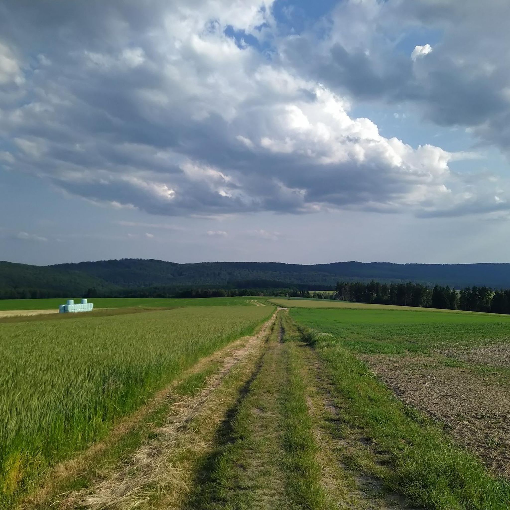
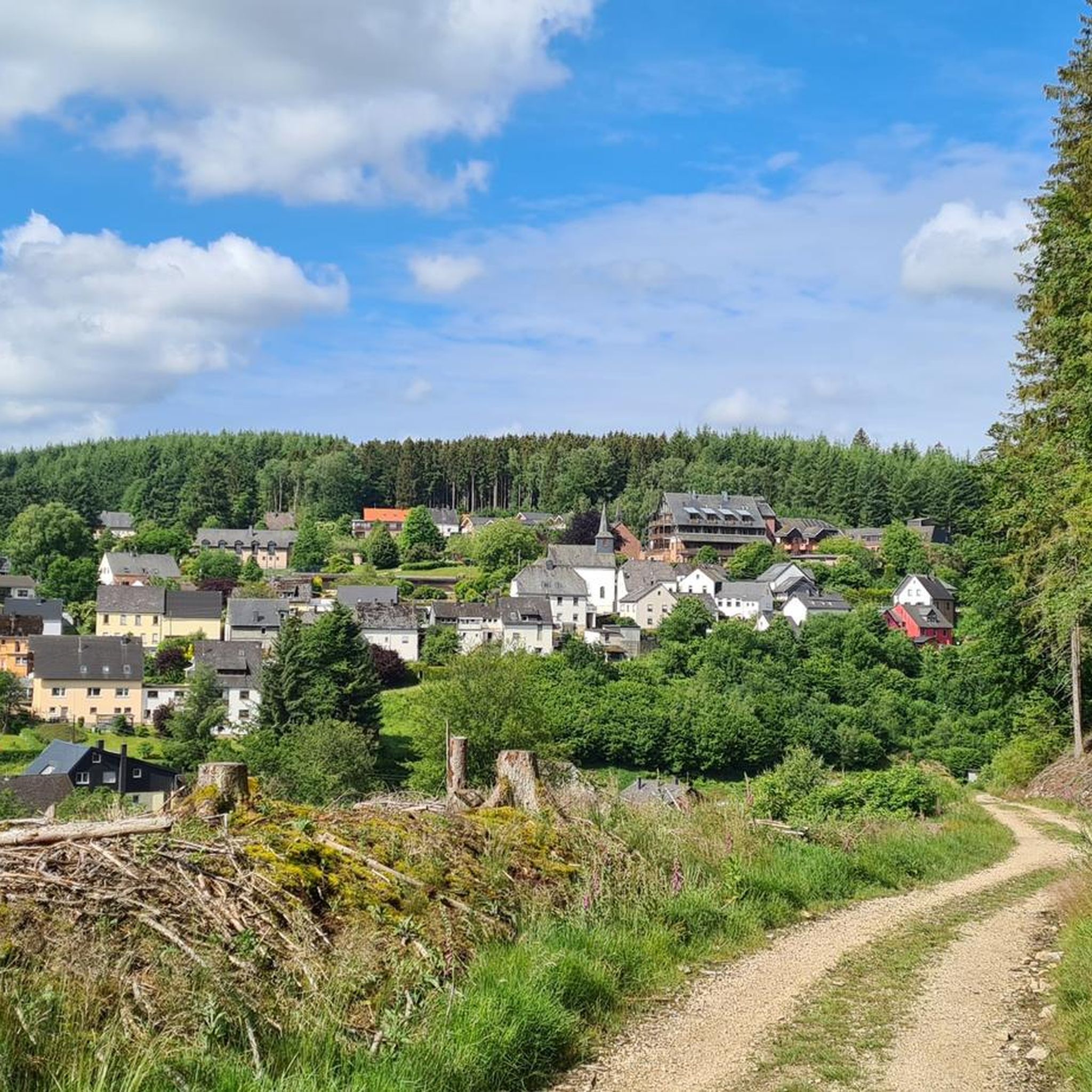
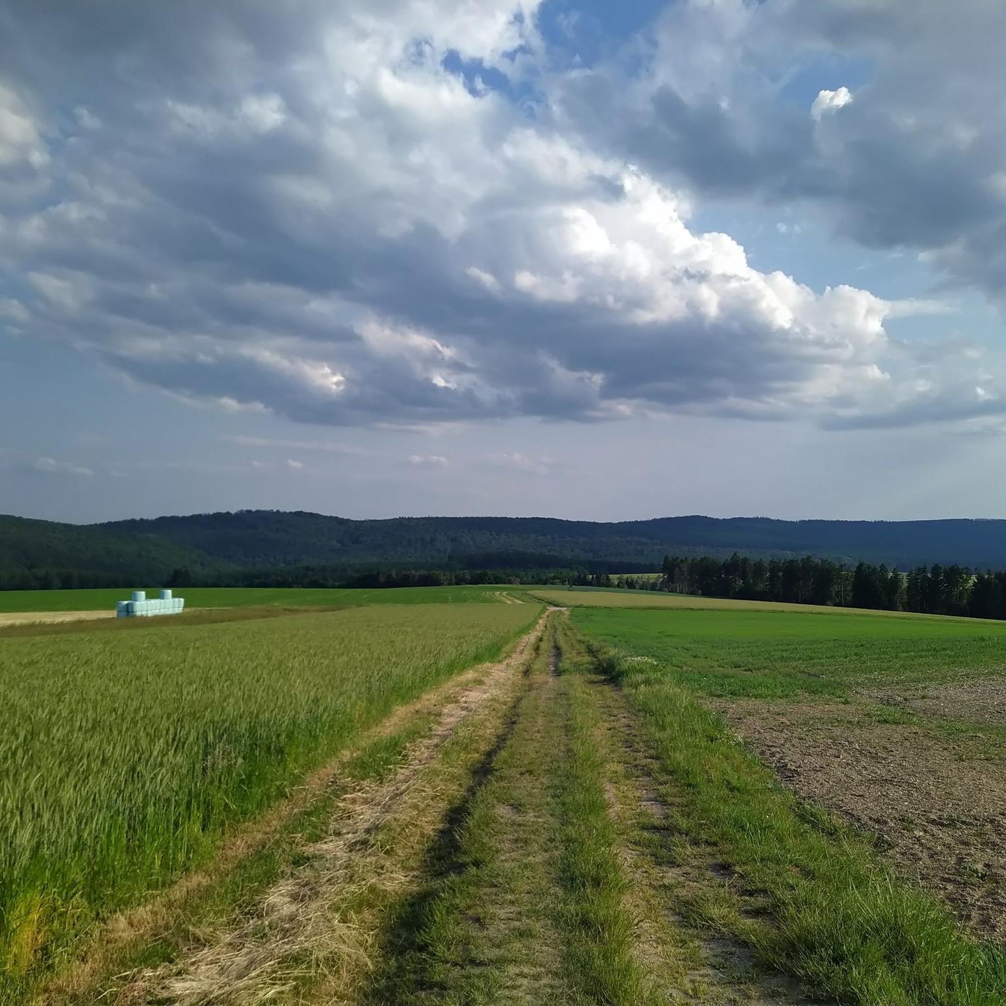
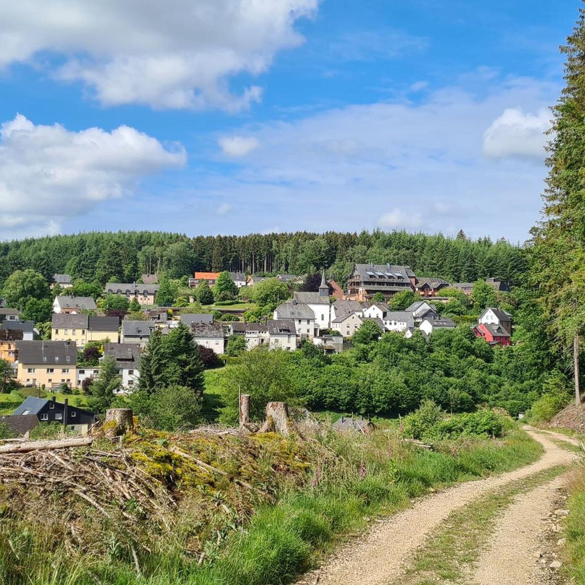
Tips from the Community

The Root Trail "Between the Woods" leads along narrow, sometimes damp paths through a quiet coniferous forest. Roots, small footbridges, and mossy forest edges give this section a particularly natural character.
0
0
A bench with a wide view of Ringkopf and Kirschweiler fortress offers a nice resting place in the open Hunsrück landscape.
0
0
The dream loop trail leads through the Eva-Loch gorge, initially along narrow paths and over a small footbridge uphill. This water-rich, wooded section feels tranquil, natural, and particularly pristine.
0
0

At the beginning of the Dream Loop LandZeitTour you get your first glimpse of the Steinbach Dam, which is circled on this dream loop.
0
0
The war memorial was erected by L. Devauze at the end of the cemetery's main path to commemorate the fallen of the First World War. A surrounding wall bearing the names of the fallen of the Second World War was later built behind the memorial. The tapered stele sits on a square base bearing an inscription and a floral arrangement. The upper half is decorated with wreaths and garlands. Above the stele sits an eagle with outstretched wings.
0
0
The war memorial was erected by L. Devauze at the end of the cemetery's main path to commemorate the fallen of the First World War. A surrounding wall bearing the names of the fallen of the Second World War was later built behind the memorial. The tapered stele sits on a square base bearing an inscription and a floral arrangement. The upper half is decorated with wreaths and garlands. An eagle with outstretched wings sits atop the stele.
0
0

A great place for a rest! Even though there are no benches, the rocks are sufficient.
1
0

These are great rocks that are perfect for taking a break. You also have a beautiful view from here.
1
0
Frequently Asked Questions
How many hiking trails are available in Bruchweiler?
Bruchweiler offers a network of over 15 hiking routes, catering to various preferences. These trails lead through diverse landscapes, including dense woodlands, past unique red sandstone formations, and along serene river valleys.
What is the best time of year to go hiking in Bruchweiler?
The best seasons for hiking in Bruchweiler are spring and autumn. During these times, the landscape is particularly vibrant with colors, and the weather is generally mild, making for pleasant conditions on the trails.
Are there easy hiking options suitable for beginners or families in Bruchweiler?
Yes, Bruchweiler has several easy hiking options perfect for beginners or families. Out of the 15 available routes, 6 are classified as easy. An example of a family-friendly route is the Charcoal Burners’ Trail at the Quarry loop from Bruchweiler, which is 3.3 miles (5.3 km) long and takes about 1 hour 28 minutes to complete.
What kind of terrain can I expect on the hiking trails in Bruchweiler?
The hiking trails in Bruchweiler feature varied terrain, characterized by unique red sandstone formations, extensive dense woodlands, and clear river valleys like the Wieslauter. You'll encounter paths through forests, alongside streams, and often leading to impressive rock formations and scenic viewpoints.
Are there any circular hiking routes in Bruchweiler?
Yes, many of the trails in Bruchweiler are circular routes, offering convenient starting and ending points. For instance, the View of Steinbach Reservoir – Water Knowledge Centre loop from Bruchweiler is a moderate 6.1-mile (9.9 km) loop, and the Water Knowledge Centre – Old Stone Bridge loop from Bruchweiler is another popular circular option.
What are some notable natural landmarks or viewpoints to see while hiking?
Bruchweiler is known for its impressive Buntsandstein (red sandstone) formations. You can find stunning viewpoints like the Jüngstbergkanzel, offering panoramic views. Other notable formations include the Retschelfelsen, Rauhbergfelsen, Napoleonsfels, and the Fladensteine. The Lookout tower and shelter on Kleb also provides excellent vistas.
Are there any historical sites or cultural attractions along the trails?
Yes, some trails incorporate historical elements. For example, routes like the 'Burgruine Drachenfels – Geierstein Runde' lead past the impressive Burgruine Drachenfels (Drachenfels Castle Ruin), providing cultural interest alongside natural beauty. You might also encounter old stone bridges, such as on the Water Knowledge Centre – Old Stone Bridge loop from Bruchweiler.
What do other hikers enjoy most about the trails in Bruchweiler?
The trails in Bruchweiler are highly rated by the komoot community, with an average score of 4.5 stars from over 4,400 reviews. Hikers often praise the diverse scenery, the unique red sandstone formations, and the tranquil atmosphere of the dense woodlands. The well-marked paths and variety of difficulty levels are also frequently highlighted.
Are there places to rest or find shelter along the hiking routes?
Yes, there are several shelters and huts available in the vicinity of Bruchweiler's hiking trails. You can find places like the Jakob-Maria-Mierscheid-Weg Shelter, the Kreuzbuche Shelter, and the At the Wahlenbach Shelter, providing convenient spots for a break or protection from the elements.
Are the hiking trails in Bruchweiler suitable for dogs?
Many trails in Bruchweiler are suitable for dogs, offering plenty of natural spaces for them to enjoy. Given the extensive woodlands and varied terrain, it's generally a great area for hiking with canine companions. Always ensure your dog is on a leash where required and respect local wildlife.
Are there any routes that pass by water features or reservoirs?
Yes, some routes in Bruchweiler feature water elements. For example, the View of Steinbach Reservoir – Water Knowledge Centre loop from Bruchweiler offers views of the Steinbach Reservoir. The region also features clear streams and idyllic river valleys like the Wieslauter, adding to the scenic beauty of many trails.
Most popular routes around Bruchweiler
Most popular attractions around Bruchweiler

Get inspired with the komoot mobile app


Explore more
Browse the best Hikes in other regions.
