The best walks and hikes around National Park del Hayedo Tejera Negra
4.5
(194)
1,561
hikers
87
hikes
Hiking trails around National Park del Hayedo Tejera Negra traverse one of Europe's southernmost beech forests, a UNESCO World Heritage site. The region is characterized by deep valleys, rocky ridges, and a unique microclimate sustained by the Lillas and Zarzas rivers. Hikers will find diverse landscapes, from ancient beech and oak groves to areas with varied flora, all within the Sierra Norte de Guadalajara.
Best hiking trails around National Park del Hayedo Tejera Negra
- The most popular hiking route is…
Last updated: October 3, 2026
4.5
(2)
15
hikers
Moderate hike. Good fitness required. Mostly accessible paths. Sure-footedness required.
4.6
(16)
227
hikers
8.30km
03:06
260m
260m
Moderate hike. Good fitness required. Mostly accessible paths. Sure-footedness required.

4.8
(12)
78
hikers
Hard hike. Very good fitness required. Mostly accessible paths. Sure-footedness required.
5.0
(1)
15
hikers
Hard hike. Very good fitness required. Mostly accessible paths. Sure-footedness required.
4.9
(15)
79
hikers
15.2km
06:02
700m
700m
Hard hike. Very good fitness required. Mostly accessible paths. Sure-footedness required.
Get access to more routes and recommendations from other explorers.
Already have an account?
Our route recommendations are based on thousands of hikes, rides, and runs completed by other people on komoot.
Start today with a free account
Your next adventure awaits.
Popular around National Park del Hayedo Tejera Negra
Tips from the Community

Peak of the Sierra de Ayllón with beautiful landscapes, especially towards La Tejera Negra.
0
0
It is on the path leading up from Puerto de La Quesera to Pico del Lobo.
1
0
Place between Segovia and Guadalajara that is the starting point for many routes.
0
0

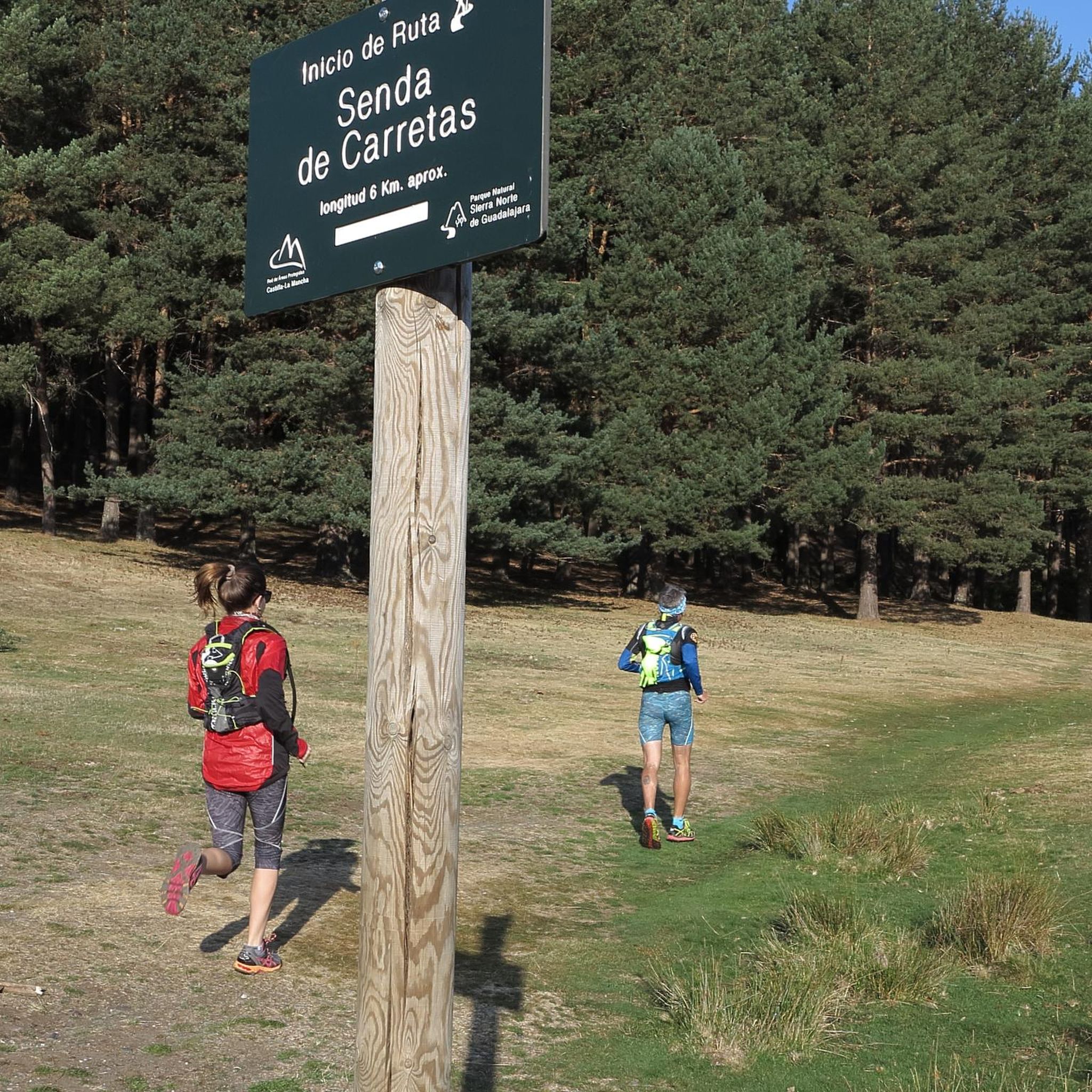
The parking lot in front of the Lillas River is an ideal starting point for exploring the Sierra Norte de Guadalajara Natural Park. Several signposted routes start from here, such as the Senda de Carretas and the Senda del Robledal.
5
0
The highest peak in the province of Guadalajara is a special place to admire the landscape in all directions. In winter, with the snow, it is even more beautiful, but at the same time more demanding due to the cold.
1
1
Pico del Lobo is the highest mountain in the Sierra de Ayllón and in the province of Guadalajara, with an altitude of 2,274 metres. It is a popular destination for hiking and offers spectacular views of both Segovia and Guadalajara.
7
0
A Yew among so many Beeches. It is very old and beautiful.
0
0
At this height is La Torrecilla, a pyramid-shaped stone landmark. There is also a viewing point and an information board.
0
0
Frequently Asked Questions
How many hiking trails are available in National Park del Hayedo Tejera Negra?
The National Park del Hayedo Tejera Negra offers a wide variety of hiking experiences, with over 70 trails to explore. These range from easy strolls through the forest to more challenging routes that ascend rocky ridges.
What makes the Hayedo de Tejera Negra Natural Park unique for hiking?
This park is renowned for being one of Europe's southernmost ancient beech forests, a UNESCO World Heritage site. Its unique microclimate, sustained by the Lillas and Zarzas rivers, creates a magical atmosphere, especially in autumn when the leaves display spectacular yellows, reds, and browns. Hikers will discover diverse flora, dramatic rocky valleys, and panoramic viewpoints.
Are there any easy or family-friendly hiking trails in the park?
Yes, the park offers several easier trails suitable for families. While specific 'easy' routes are not detailed, the park has 9 routes classified as easy and many moderate options. For a shorter, scenic walk, consider the Pedrosa Beech Forest – Puerto de la Quesera loop, which is just under 4 km.
What are some popular circular hiking routes in Hayedo de Tejera Negra?
Many of the park's trails are circular, allowing you to experience diverse landscapes without retracing your steps. A very popular option is The viewpoints of the Hayedo Tejera Negra Natural Park - circular via the Carretas path, which is a moderate 10.4 km route leading through the heart of the beech forest. Another local favorite is The Thousand-Year-Old Yew loop from Aparcamiento Hayedo Tejera Negra, an 8.3 km moderate path.
Are there challenging hikes for experienced trekkers?
Absolutely. For those seeking a more strenuous adventure, the park features 29 difficult routes. An example is the Parking in front of the Lillas River – Lillas River loop from Aparcamiento Hayedo Tejera Negra, an 18.6 km trail that takes about 5 hours 39 minutes to complete, traversing river valleys and diverse forest. Another challenging option is the Buitrera 2,045 m – Parking in front of the Lillas River loop, which involves significant elevation gain.
What is the best time of year to hike in Hayedo de Tejera Negra?
While beautiful year-round, the Hayedo de Tejera Negra is particularly stunning in autumn (October-November) when the beech leaves transform into vibrant hues of yellow, red, and brown. Spring also offers lush greenery and blooming wildflowers. Winter hiking is possible, but trails may be stony or waterlogged, requiring appropriate footwear and caution.
What kind of wildlife can I expect to see while hiking?
The park is rich in fauna. Hikers might spot roe deer, foxes, wild cats, martens, badgers, weasels, and wild boar. It's also a significant habitat for various birds of prey, including golden eagles, red kites, and goshawks, as well as nocturnal species like tawny owls.
Are there any notable landmarks or viewpoints along the trails?
Yes, the park offers several points of interest. The Matarredonda Meadow Viewpoint provides breathtaking panoramic views of the entire beech forest from 1600 meters. You can also visit the ancient yew tree on the Thousand-Year-Old Yew loop, and explore historical features like 'carboneras' (charcoal production sites) along various routes.
Is there parking available at the trailheads?
Yes, parking is generally available. Many routes, such as the Thousand-Year-Old Yew loop and the Lillas River loop, start from the Aparcamiento Hayedo Tejera Negra or near the Parking in front of the Lillas River. It's advisable to arrive early, especially during peak season, as spaces can fill up.
What do other hikers say about their experience in National Park del Hayedo Tejera Negra?
The hiking trails in National Park del Hayedo Tejera Negra are highly regarded by the komoot community, with an average rating of 4.5 stars from over 150 reviews. Hikers frequently praise the stunning beauty of the ancient beech forests, especially during autumn, the well-maintained paths, and the peaceful, immersive natural experience.
What should I wear or bring for a hike in Tejera Negra?
Given the varied terrain, which can include wooded paths, stony sections, and potentially waterlogged areas, appropriate footwear such as sturdy hiking boots is essential. Layers of clothing are recommended to adapt to changing weather conditions, especially in autumn and winter. Bringing water, snacks, and a map or GPS device is also advisable.
Most popular routes around National Park del Hayedo Tejera Negra
Most popular attractions around National Park del Hayedo Tejera Negra

Get inspired with the komoot mobile app


Explore more
Browse the best Hikes in other regions.
