The best walks and hikes around Reserva Natural del Valle de Iruelas
4.7
(122)
924
hikers
11
hikes
Hiking around Reserva Natural del Valle de Iruelas offers a variety of trails through diverse landscapes. The region is characterized by mountainous terrain, dense pine and chestnut forests, and open areas providing expansive views. Water features such as streams and natural pools are present, contributing to the natural environment. The elevation changes across the area provide options for both moderate and more challenging ascents.
Best hiking trails around Reserva Natural del Valle de Iruelas
- The most popular hiking route is…
Last updated: May 24, 2026
7
hikers
Moderate hike. Good fitness required. Mostly accessible paths. Sure-footedness required.
4.9
(7)
30
hikers
9.50km
03:24
400m
400m
Moderate hike. Good fitness required. Mostly accessible paths. Sure-footedness required.

Sign up for free
4.3
(3)
26
hikers
Hard hike. Very good fitness required. Mostly accessible paths. Sure-footedness required.
7
hikers
12.8km
04:49
650m
650m
Moderate hike. Good fitness required. Mostly accessible paths. Sure-footedness required.
5.0
(1)
14
hikers
7.86km
02:44
160m
160m
Moderate hike. Good fitness required. Mostly accessible paths. Sure-footedness required.
Get access to more routes and recommendations from other explorers.
Sign up for free
Already have an account?
Our route recommendations are based on thousands of hikes, rides, and runs completed by other people on komoot.
Start today with a free account
Your next adventure awaits.
Login or Signup
Popular around Reserva Natural del Valle de Iruelas


Tips from the Community

phenomenal
0
1

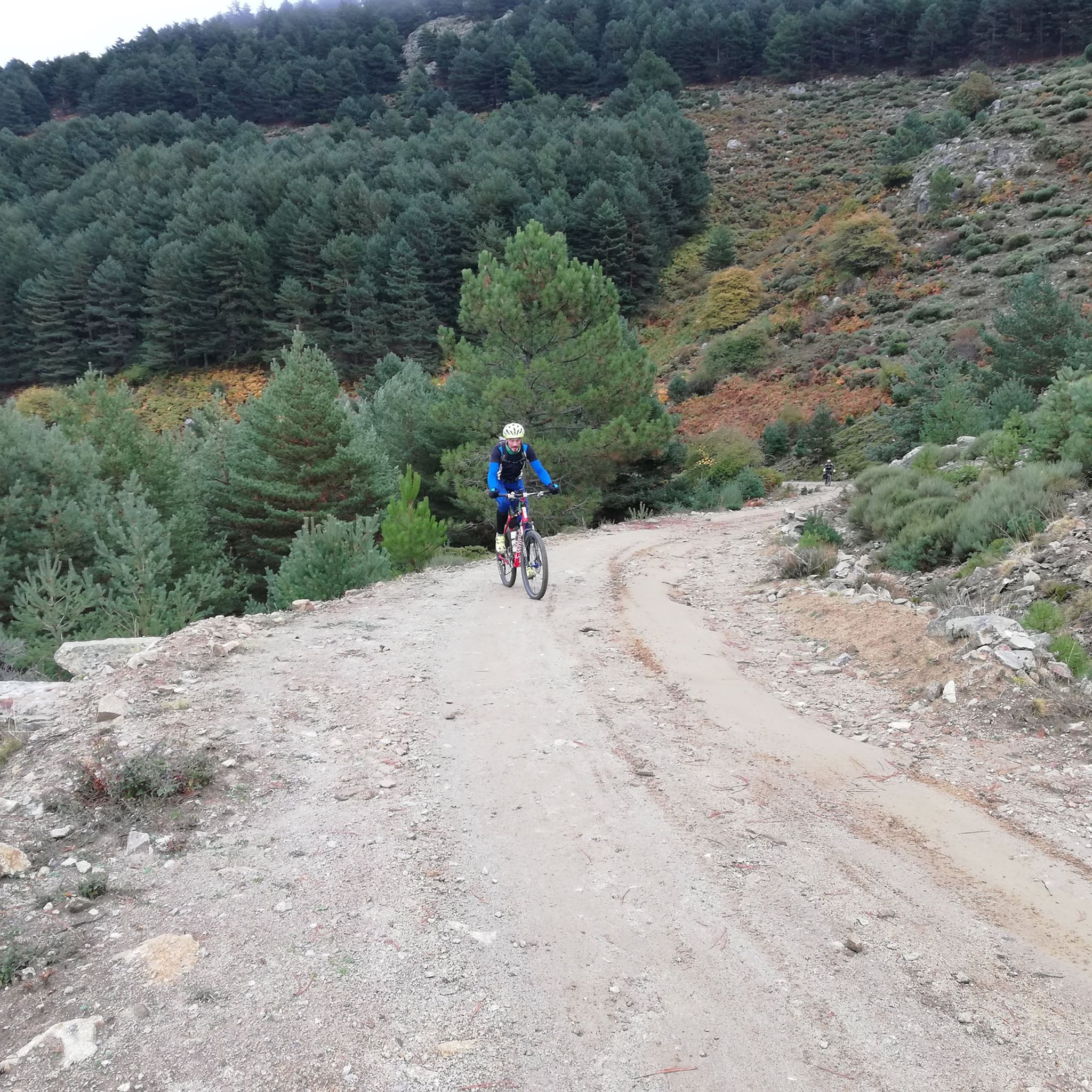
A nice climb from the El Burguillo reservoir. The first part is asphalt in very good condition (as of November 1, 2025), and the second part is a dirt track, also in very good condition. It's a demanding climb; the asphalt section offers some flatter sections, but the dirt track is practically a continuous gradient of around 10%.
0
1

Simple and very beautiful route for all levels on bike or foot.
0
0

Picnic area with lots of shade. It has stone tables and a fountain.
1
0

Path that offers good views of the slopes between forests and some fields of pasture!
1
0
Old construction that represented a well where food was stored for all the inhabitants of this area of the Sierra de Gredos. The place is preserved and beautiful!
2
0
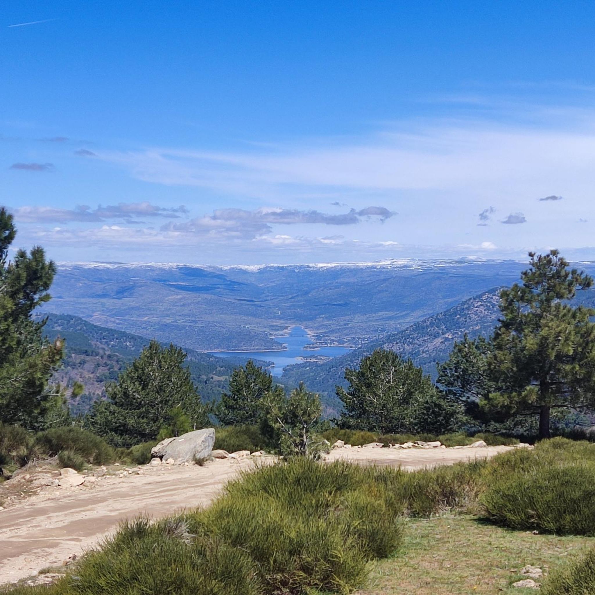
From the top of this mountain you can see impressive views of the whole area and a stop there is mandatory. The last highest mountain of the eastern end of the Sierra de Gredos.
1
0

Beautiful forest known as El Castañar. An authentic marvel for mountain bike lovers with an infinite number of trails to choose from in good conditions.
1
0
Frequently Asked Questions
How many hiking trails are available in Reserva Natural del Valle de Iruelas?
There are 10 hiking routes documented in Reserva Natural del Valle de Iruelas on komoot. These trails offer a range of experiences, from moderate forest walks to more challenging mountain ascents.
Are there easy hiking trails suitable for beginners or families?
Yes, Reserva Natural del Valle de Iruelas offers 3 easy hiking trails. While specific routes aren't detailed as 'easy' in the provided data, the region generally provides options for various fitness levels. Look for routes with less elevation gain for a more relaxed experience.
What kind of terrain can I expect on the hiking trails?
The trails in Reserva Natural del Valle de Iruelas feature diverse terrain, including dense pine and chestnut forests, mountainous sections, and open areas with expansive views. You'll also encounter water features like streams and natural pools, with elevation changes providing varied challenges.
Are there any circular hiking routes in the area?
Yes, many routes in Reserva Natural del Valle de Iruelas are circular. For example, the Ascent to Alto del Mirlo and Pozo de las Nieves is a popular circular route through the nature reserve, offering a significant ascent.
What are some notable natural attractions or landmarks to see while hiking?
Hikers can explore several natural attractions. Don't miss the impressive El Abuelo Chestnut Tree (Castañar de El Tiemblo) or The Grand Chestnut of El Tiemblo. The Puerto de Casillas serves as an entrance to the nature reserve and offers scenic views.
Are there any challenging routes for experienced hikers?
Yes, there is 1 difficult hiking route available. An example of a more challenging trail is the El Abuelo – Alto del Mirlo (Pico Casillas) loop from Castañar de El Tiemblo, which covers 15.9 km with significant elevation gain.
What do other hikers say about the trails in Reserva Natural del Valle de Iruelas?
The trails are highly rated by the komoot community, with an average score of 4.7 stars from nearly 100 reviews. Hikers often praise the varied terrain, the beauty of the chestnut forests, and the rewarding mountain ascents.
Are dogs allowed on the hiking trails in Reserva Natural del Valle de Iruelas?
While the specific rules for dogs on every trail are not detailed here, generally, nature reserves in Spain have regulations regarding pets to protect wildlife. It's advisable to check local signage or the official park website for specific rules on leash requirements and restricted areas before bringing your dog.
What are the typical durations for hikes in this region?
Hike durations vary significantly. For instance, a moderate route like El Abuelo – View of Castañar Forest loop from Castañar de El Tiemblo takes approximately 3 hours 24 minutes, while the El Abuelo – El Tiemblo Chestnut Forest loop can take around 4 hours 50 minutes.
Are there any historical or cultural points of interest nearby?
Beyond natural beauty, you can find points of interest like the El Tiemblo Snow Well, a man-made monument that speaks to historical practices in the region. The area's chestnut forests themselves hold cultural significance.
Is there parking available at the trailheads?
While specific parking locations are not listed in the guide data, trailheads for popular routes like those starting from Castañar de El Tiemblo or near the Puerto de Casillas typically have designated parking areas or roadside spots. It's recommended to arrive early, especially on weekends, to secure a spot.
What is the best time of year to hike in Reserva Natural del Valle de Iruelas?
The region is beautiful in spring and autumn. Spring brings lush greenery and blooming flora, while autumn transforms the chestnut forests into vibrant displays of color. Summer can be hot, so early morning or late afternoon hikes are preferable. Winter offers a different, often quieter, experience, but some higher elevation trails might be affected by snow or ice.
Most popular routes around Reserva Natural del Valle de Iruelas
Most popular attractions around Reserva Natural del Valle de Iruelas

Get inspired with the komoot mobile app


Explore more
Browse the best Hikes in other regions.
