The best walks and hikes around National Park Sierra de Sierra Mágina
4.4
(93)
444
hikers
15
hikes
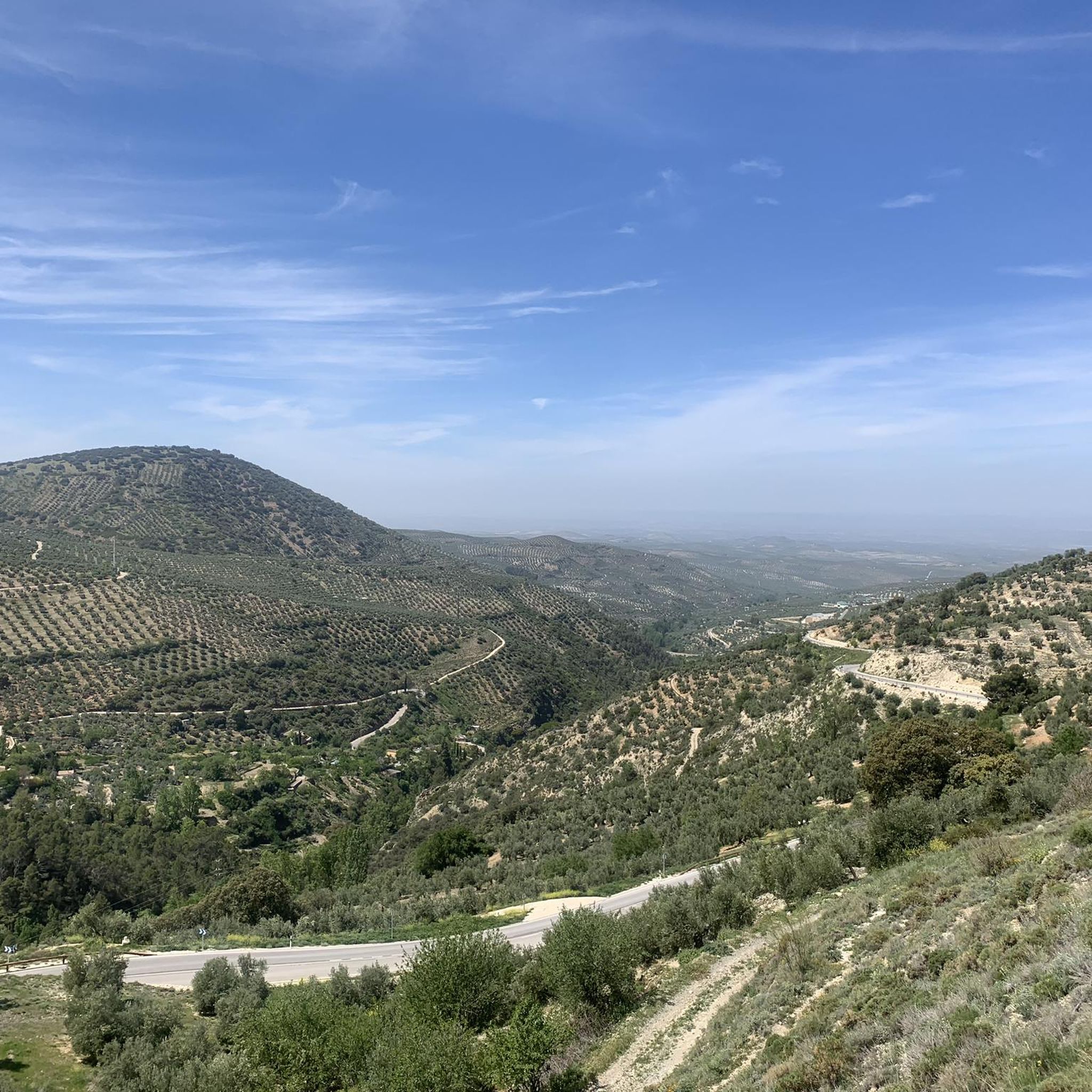
Hiking around National Park Sierra de Sierra Mágina offers diverse and rugged landscapes, characterized by dramatic limestone terrain, rocky summits, and high peaks. The region features forests of oaks, junipers, and pines at lower altitudes, transitioning to hardier species higher up. Riverbanks and extensive olive groves also contribute to the varied topography, providing a range of environments for outdoor activities.
Best hiking trails around National Park Sierra de Sierra Mágina
- The most popular hiking route is Birth of the Cuadros…
Last updated: May 26, 2026
4.5
(34)
84
hikers
Moderate hike. Good fitness required. Easily-accessible paths. Suitable for all skill levels.
8
hikers
22.0km
07:27
1,110m
1,110m
Hard hike. Very good fitness required. Easily-accessible paths. Suitable for all skill levels.

Sign up for free
4
hikers
10.0km
03:44
680m
690m
Moderate hike. Good fitness required. Mostly accessible paths. Sure-footedness required.
4.5
(10)
83
hikers
21.5km
07:09
1,030m
1,030m
Hard hike. Very good fitness required. Easily-accessible paths. Suitable for all skill levels.
4.3
(6)
16
hikers
13.4km
04:06
480m
480m
Moderate hike. Good fitness required. Easily-accessible paths. Suitable for all skill levels.
Get access to more routes and recommendations from other explorers.
Sign up for free
Already have an account?
Our route recommendations are based on thousands of hikes, rides, and runs completed by other people on komoot.
Start today with a free account
Your next adventure awaits.
Login or Signup
Tips from the Community

Very pretty! Be prepared to get your feet wet to discover the waterfall, the different "chambers" are well worth it!
0
0

The source of the Cuadros River is a place of great natural beauty located in the Sierra Mágina Natural Park, near Bedmar and Garcíez. This source, also known as the Sistillo, is one of the highlights of the Oleander Route.
5
0
The Cueva del Agua in Bedmar y Garcíez is a fascinating place located in the Sierra Mágina Natural Park. This cave is known for its impressive geological formations created by the passage of water over time.
5
0

A real spectacle in its surroundings. From there you can see all the worlds, hence its name "Miramundos."
0
0
I loved it 😍🎈 "Where the earth touches the sky, there Magina watches, eternal sentinel of the Holy Kingdom."
0
0

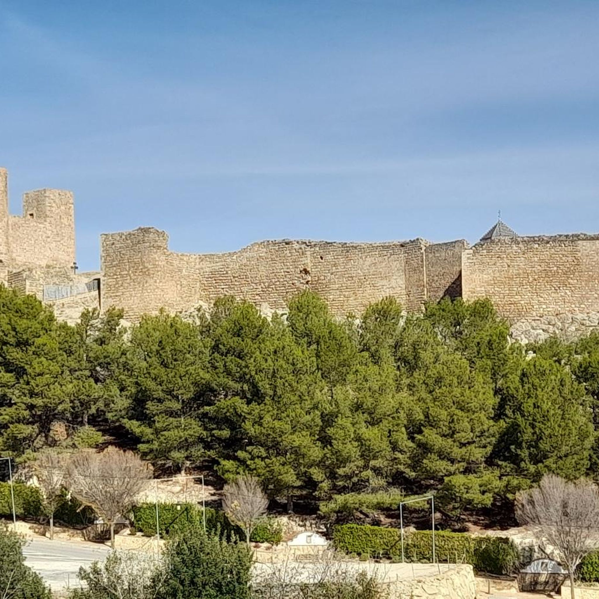
Beautiful castle ruins. Located directly on the GR7 hiking trail.
2
0

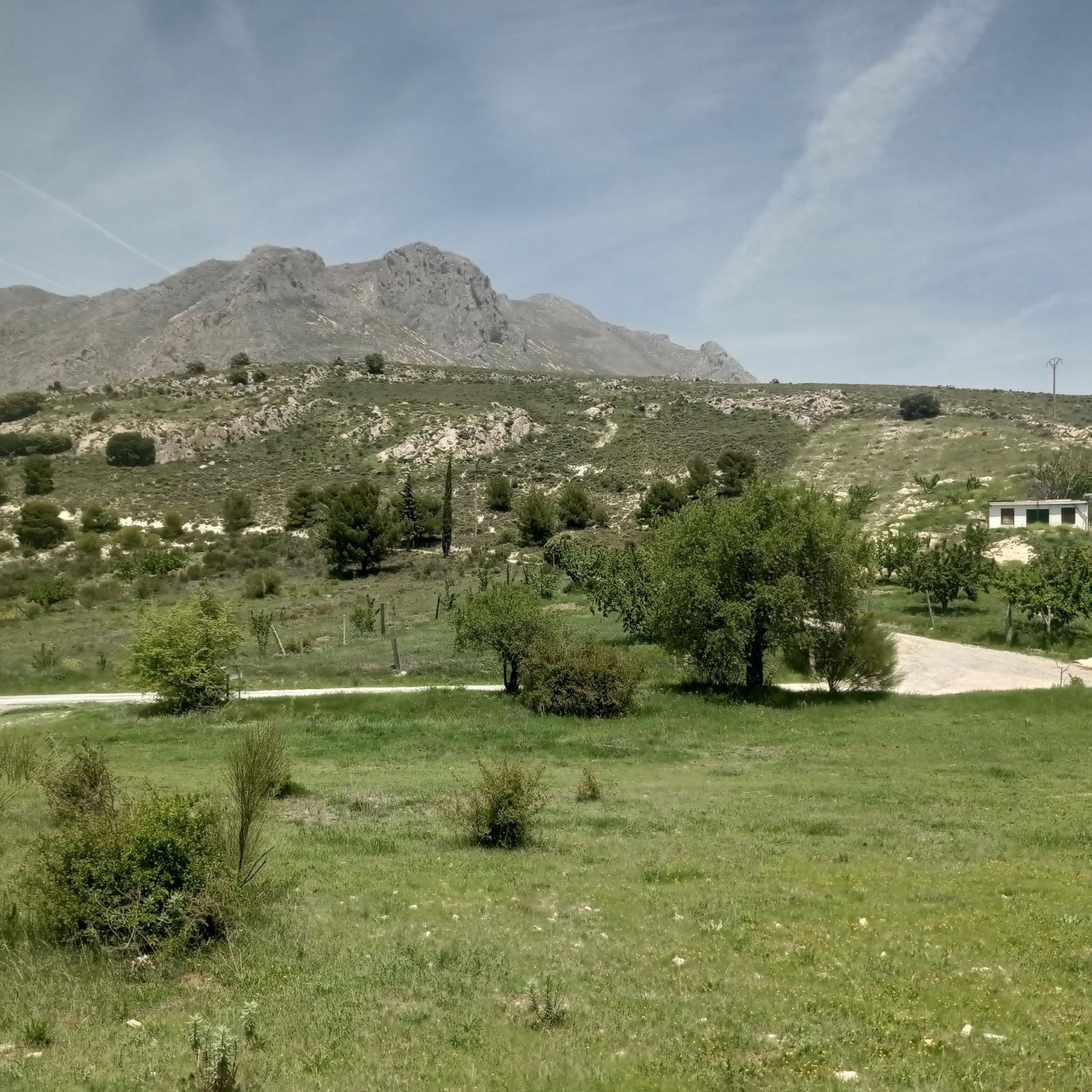
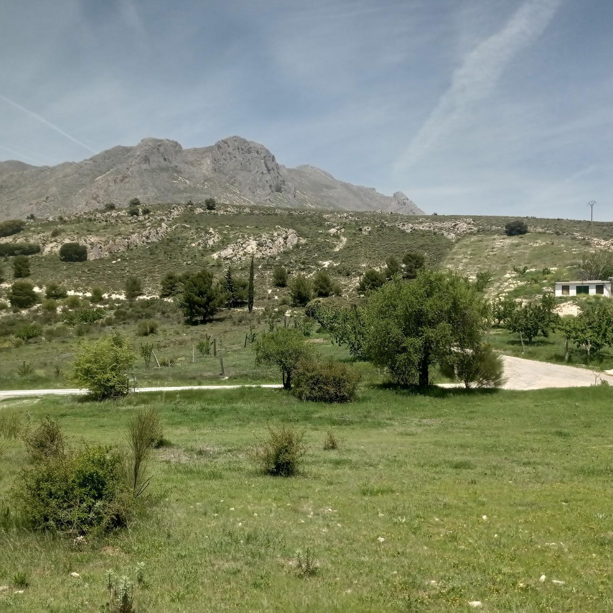
Good views from the summit. There is no area to take shelter, so it must be taken into account in adverse weather conditions.
1
0
The shelter has all the necessary elements to spend the night. A table for 4-6 people, 4 chairs and a wooden top where you can sleep. The views are spectacular from either side.
1
0
Frequently Asked Questions
What kind of terrain can I expect when hiking in National Park Sierra de Sierra Mágina?
The National Park Sierra de Sierra Mágina is characterized by its dramatic limestone terrain, featuring rocky summits and high peaks, such as Pico Mágina at 2,167 meters. At lower altitudes, you'll find forests of oaks, junipers, and cherry trees, transitioning to hardier species like Austrian pines higher up. The landscape also includes riverbanks and extensive olive and almond groves, offering a diverse range of environments for hikers.
Are there any easy hiking routes suitable for beginners or families in Sierra Mágina?
Yes, the park offers routes for various ability levels. While many trails are moderate to difficult, there are options for easier walks. For instance, the area around the Source of the Cuadros River is known for its natural beauty and offers a moderate circular hike, which can be suitable for those looking for a less strenuous experience. The park has 1 easy route and 8 moderate routes out of 15 total.
What are some notable natural features or landmarks to look out for on the trails?
Hikers can explore several significant natural features and landmarks. The Source of the Cuadros River is a beautiful spot, and the Adelfal de Cuadros Trail is one of Spain's longest oleander footpaths. You can also visit the Cueva del Agua de Bedmar, a fascinating cave, or ascend to the Pico Mágina Summit (2,167 m) for panoramic views.
Can I find circular hiking routes in National Park Sierra de Sierra Mágina?
Yes, there are several circular routes available. A popular option is the Birth of the Cuadros River - circular through the Sierra Mágina natural park, known for its scenic riverbanks. Another challenging circular route is the Pico Mágina - circular through the Sierra Mágina natural park, which offers a demanding ascent to the highest peak.
What is the best time of year to go hiking in Sierra Mágina?
Sierra Mágina offers hiking opportunities throughout the year, but the best time depends on your preferences. Spring and autumn provide pleasant temperatures and vibrant landscapes. In winter, higher peaks like Pico Mágina can be snow-capped, offering challenging ascents and unique scenery, including features like the frozen Zurreón waterfall. Summers can be hot, so early morning or late afternoon hikes are recommended.
Are there any historical sites or fortifications to explore while hiking?
Absolutely. The park's history as a borderland has left a legacy of fortifications. You can explore sites like the Castillo de Mata Bejid, or the Moorish castle in Jódar. The Torreón de Cuadros also offers historical insight alongside scenic views.
What kind of wildlife might I encounter in Sierra Mágina Natural Park?
Sierra Mágina is rich in biodiversity. You might spot mammals such as the Spanish ibex, wild boar, fox, genet, and wild cat. The park is also a haven for raptors, including Bonelli's, short-toed, and golden eagles, as well as griffon vultures. Keep an eye out for endemic plant species like the Jurinea fontqueri and the blue-flowering Lithodora nitida.
How many hiking trails are available in National Park Sierra de Sierra Mágina?
There are over 15 hiking routes available in National Park Sierra de Sierra Mágina, catering to various fitness levels. These include 1 easy route, 8 moderate routes, and 6 difficult routes, ensuring options for every type of hiker.
What do other hikers enjoy most about hiking in National Park Sierra de Sierra Mágina?
The area is highly rated by the komoot community, with an average score of 4.5 stars from over 70 reviews. Hikers often praise the diverse and rugged landscapes, the challenging ascents to peaks like Pico Mágina, and the natural beauty found along riverbanks and through ancient forests.
Are there any challenging multi-day hikes in the park?
While the guide primarily focuses on day hikes, the park's rugged terrain and extensive network of trails, including demanding ascents to peaks like Pico Mágina, can be combined for longer, more challenging experiences. The Pico Mágina Summit (2,167 m) – Miramundos Shelter loop is a difficult 21.5 km path that offers a significant challenge for experienced hikers.
Is there public transport access to National Park Sierra de Sierra Mágina for hikers?
While specific public transport routes directly into all trailheads can be limited, some towns bordering the park may have bus services. For detailed planning, it's advisable to check local transport schedules for towns like Jódar or Bedmar y Garcíez, and consider carpooling or local taxi services for reaching more remote starting points.
What are the parking options like for trailheads in Sierra Mágina?
Parking availability varies by trailhead. Many popular starting points, especially near recreational areas or visitor centers, offer designated parking spaces. For example, the Castillo de Mata Bejid loop starts from Área Recreativa "El Peralejo" which typically has parking. It's always recommended to check specific route details or local information for parking at your chosen trailhead.
Most popular routes around National Park Sierra de Sierra Mágina
Most popular attractions around National Park Sierra de Sierra Mágina

Get inspired with the komoot mobile app


Explore more
Browse the best Hikes in other regions.
