The best cycling routes around Reserva Natural Garganta de los Infiernos
4.3
(21)
255
riders
31
rides
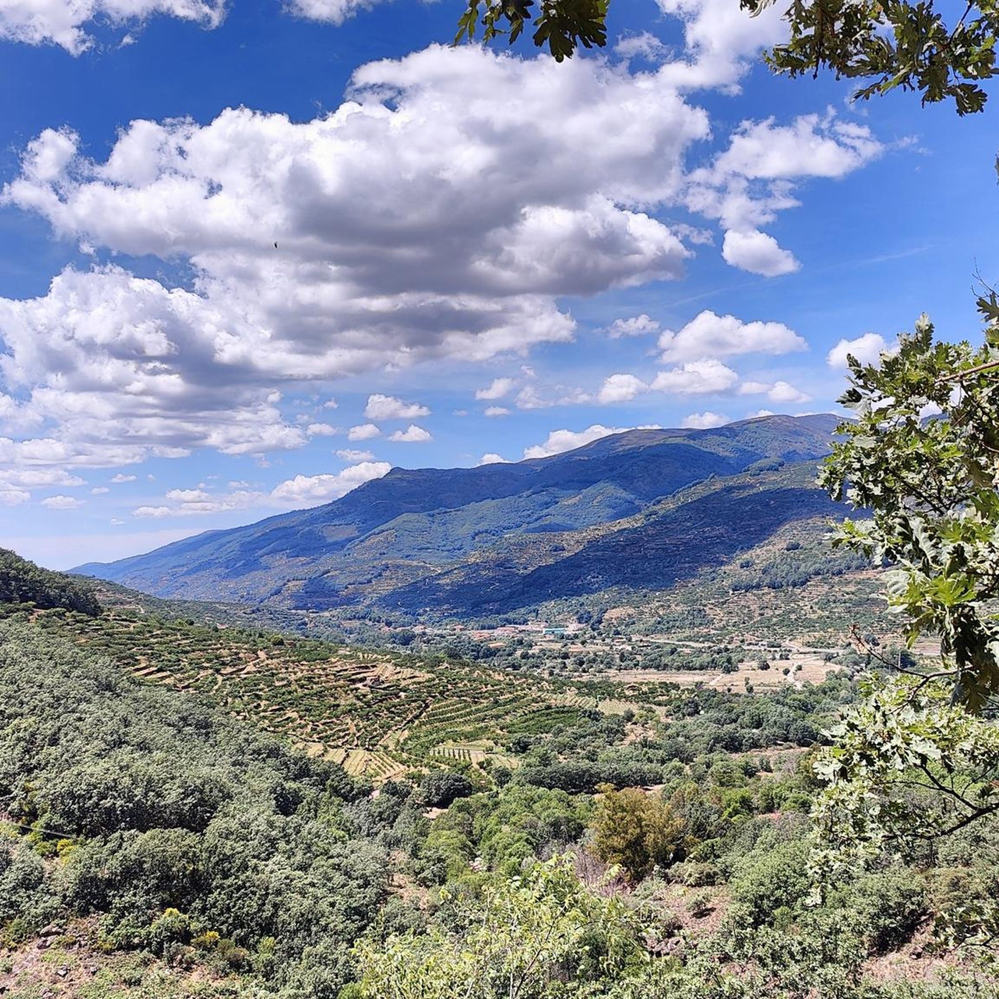
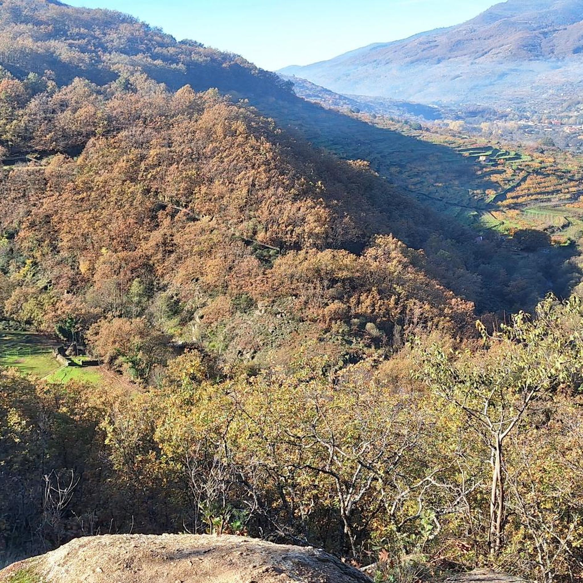
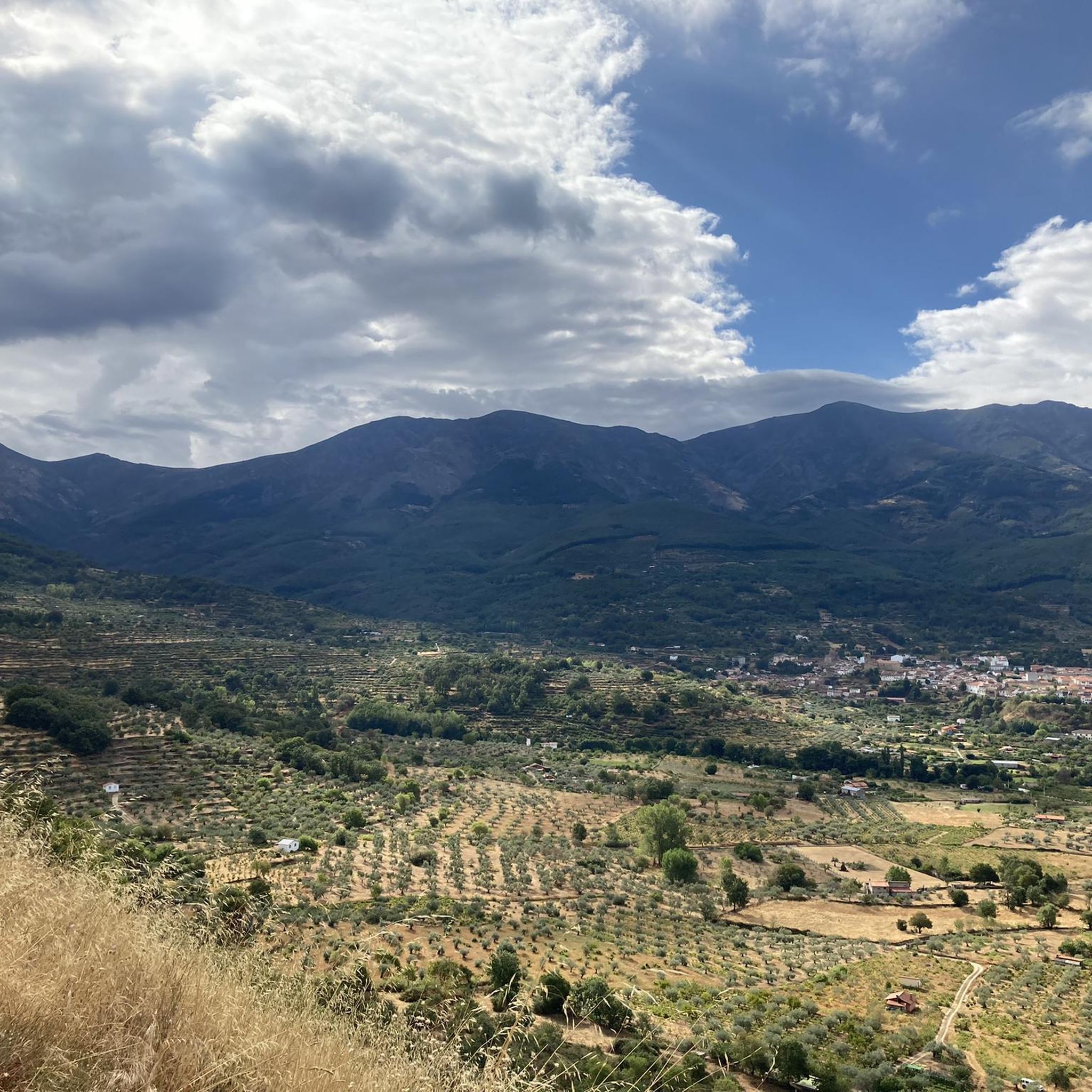
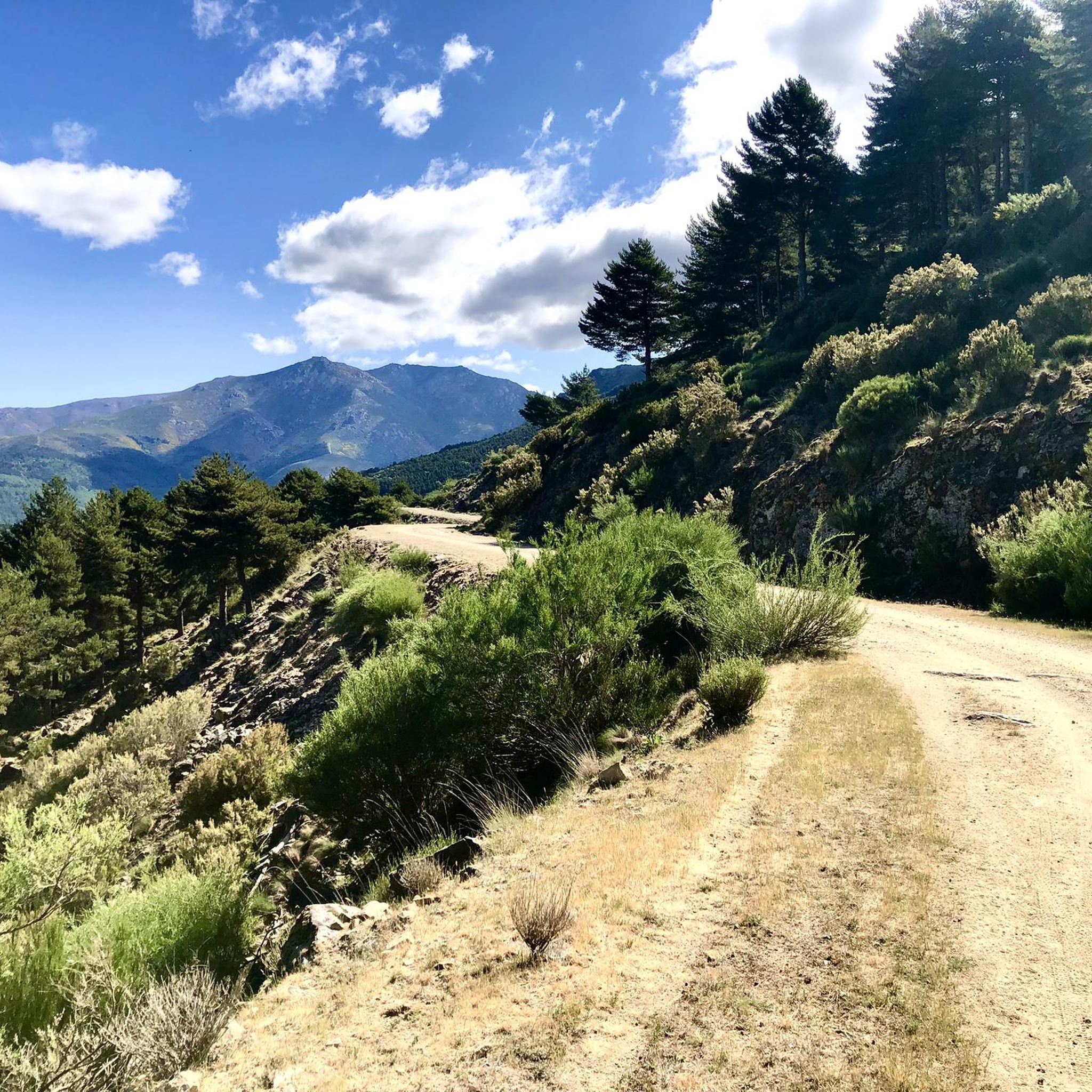
Touring cycling around Reserva Natural Garganta de los Infiernos is characterized by its rugged landscape, featuring deep river valleys and significant elevation changes. The region is defined by the Jerte River, which carves through mountainous terrain, offering challenging routes for cyclists. Expect a mix of climbs and descents, with routes often following waterways and traversing varied natural environments.
Best touring cycling routes around Reserva Natural Garganta de los Infiernos
- The most popular touring cycling route is Jewish Quarter of Hervás…
Last updated: October 11, 2026
12
riders
Hard bike ride. Very good fitness required. Mostly paved surfaces. Suitable for all skill levels.
13
riders
58.3km
04:25
1,460m
1,460m
Hard bike ride. Very good fitness required. Mostly paved surfaces. Suitable for all skill levels.

5.0
(3)
12
riders
43.9km
03:34
770m
770m
Hard bike ride. Very good fitness required. Mostly paved surfaces. Suitable for all skill levels.
6
riders
85.3km
05:56
1,490m
1,490m
Hard bike ride. Very good fitness required. Mostly paved surfaces. Suitable for all skill levels.
5
riders
Hard bike ride. Very good fitness required. Mostly paved surfaces. Suitable for all skill levels.
Get access to more routes and recommendations from other explorers.
Already have an account?
Our route recommendations are based on thousands of hikes, rides, and runs completed by other people on komoot.
Start today with a free account
Your next adventure awaits.
Popular around Reserva Natural Garganta de los Infiernos
Other adventures around Reserva Natural Garganta de los Infiernos

Tips from the Community

Picturesque village, and one of the liveliest ones, right in the Jerte Valley
0
0
The route passes a couple of times over the top, near Navaconcejo.
0
0

Hervás is one of the founders of the Network of Jewish Quarters of the Sephardic Route and is also part of the Cooperation Network of the Silver Route.
18
0

Piornal is the highest village in Extremadura and one of the best natural viewpoints for viewing the cherry blossoms. It also offers its own organized routes during the Cherry Blossom Festival. The most well-documented route starting directly from Piornal is the one organized by the Jerte Valley Sports Promotion Association. It's a circular route that passes through some of the most beautiful landscapes:
3
0

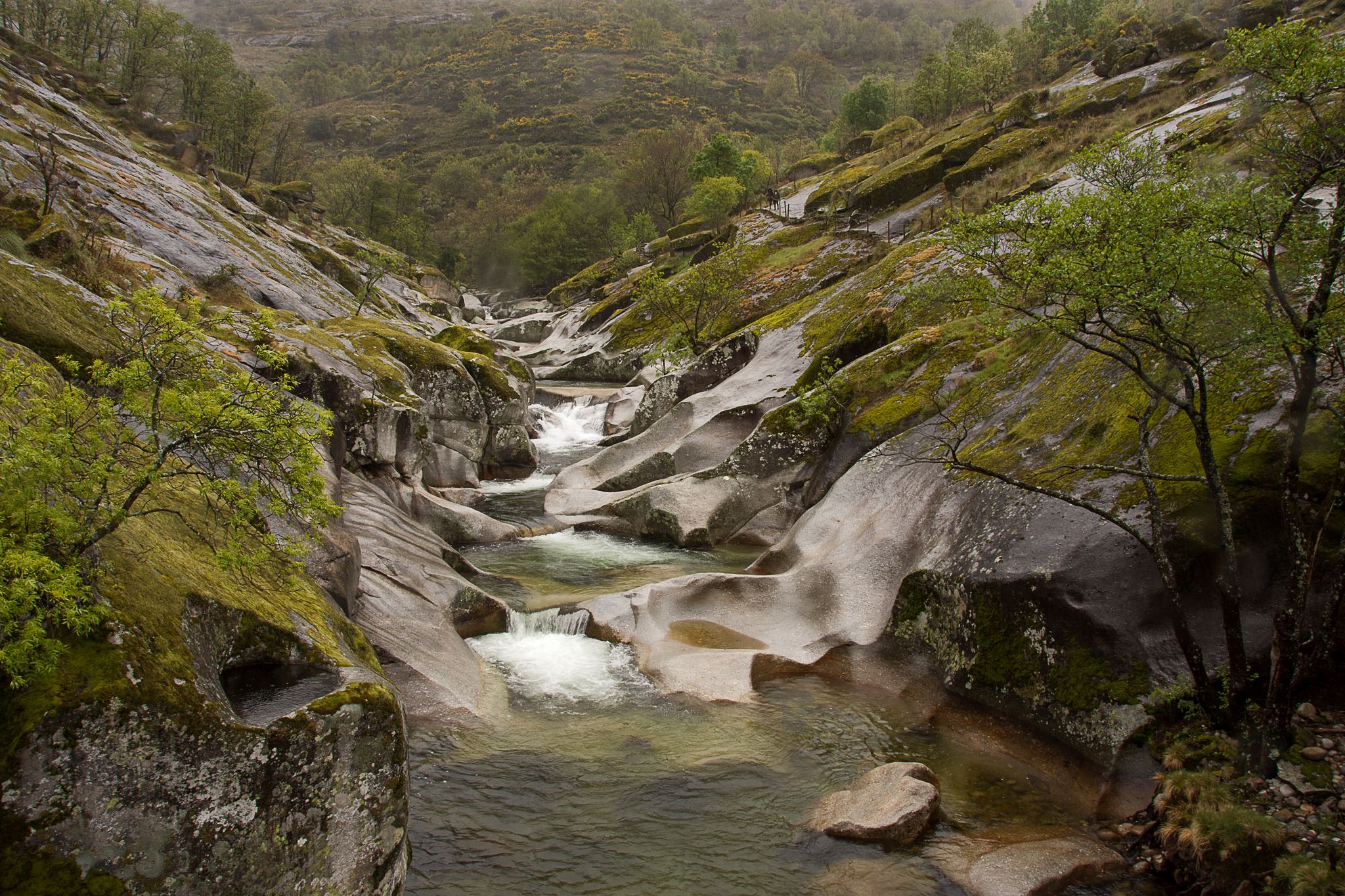
The Jerte River rises in the Gredos mountain range and flows through the impressive valley of the same name in northern Extremadura. Along its way, it feeds gorges, natural pools, and lush forests, becoming a true oasis, especially in spring, when cherry blossoms cover the landscape.
0
0

A waterfall reminiscent of a mantle. Very close to Los Pilones
0
0

I recommend bringing binoculars, otherwise the waterfall goes a little unnoticed
1
0

Located in the north of the province of Cáceres, the port of Honduras provides spectacular views of the two large valleys it connects: the Ambroz valley and the Jerte valley. From both Gargantilla and Cabezuela del Valle, hikers can avoid the road and crown this pass along trails and dirt tracks that are part of the GR 10.
0
0
Frequently Asked Questions
What is the general difficulty level of touring cycling routes in Reserva Natural Garganta de los Infiernos?
Touring cycling in Reserva Natural Garganta de los Infiernos is generally challenging due to the rugged, mountainous terrain and significant elevation changes. Most routes are classified as difficult, with a few moderate options available. There are no easy routes listed in this guide.
Are there any touring cycling routes suitable for less experienced cyclists?
While most routes are difficult, there are a few moderate options that might be suitable for less experienced but fit cyclists. One such route is the Cuacos de Yuste – Cuacos de Yuste loop from Aldeanueva de la Vera, which covers 25.2 km with 440 meters of elevation gain.
Where can I find parking for touring cycling routes in the area?
Many routes start from convenient parking locations. For example, the popular Jewish Quarter of Hervás – La Cantina de la Estación loop begins from "Parking gratuito El Gorrilla".
What natural attractions can I see while touring cycling in Reserva Natural Garganta de los Infiernos?
The region is rich in natural beauty. You can encounter highlights such as the Jerte River, the stunning Los Pilones Natural Pools, and viewpoints like Chorrero de la Virgen Viewpoint. The Jerte River – La Desesperá Waterfall loop specifically takes you past a beautiful waterfall.
Are there opportunities for wild swimming near the cycling routes?
Yes, the Los Pilones Natural Pools, located within the Reserva Natural Garganta de los Infiernos, are a well-known spot for wild swimming and are often accessible from nearby cycling routes along the Jerte River.
What is the best time of year for touring cycling in this region?
The best time for touring cycling in Reserva Natural Garganta de los Infiernos is typically spring (April-May) and autumn (September-October). During these seasons, temperatures are milder, and the natural scenery is vibrant. Summer can be very hot, and winter may bring cold temperatures and potential snow in higher elevations.
Are there any circular touring cycling routes available?
Yes, many of the touring cycling routes in Reserva Natural Garganta de los Infiernos are designed as loops, allowing you to start and finish at the same point. Examples include the Jerte River – Puerto de Honduras loop from Tornavacas and the Jerte River – Río Jerte loop from Tornavacas.
What do other touring cyclists enjoy most about touring cycling in Reserva Natural Garganta de los Infiernos?
The area is highly rated by the komoot community, with an average score of 4.6 stars. Reviewers often praise the stunning river valleys, the challenging climbs that offer rewarding views, and the immersive experience of cycling through the mountainous terrain.
Are there places to stop for refreshments or food along the touring cycling routes?
Yes, some routes pass through or near villages and towns where you can find places to eat or grab refreshments. For instance, the Jewish Quarter of Hervás – La Cantina de la Estación loop includes a stop at La Cantina de la Estación, offering a convenient break.
How long do touring cycling routes typically take in this region?
Due to the challenging terrain and significant distances, most touring cycling routes in Reserva Natural Garganta de los Infiernos require several hours to complete. For example, the Jerte River – La Desesperá Waterfall loop is estimated to take over 5 hours.
Can I find historical landmarks along the cycling routes?
Yes, the region has historical significance. The Jewish Quarter of Hervás – La Cantina de la Estación loop, for example, explores historical areas, allowing you to combine cycling with cultural exploration.
What kind of terrain should I expect on these touring cycling routes?
Expect a rugged and varied terrain characterized by deep river valleys, mountainous sections, and significant elevation changes. Routes often follow waterways and feature a mix of climbs and descents, requiring good physical condition and appropriate gearing.
Most popular routes around Reserva Natural Garganta de los Infiernos
Most popular attractions around Reserva Natural Garganta de los Infiernos

Get inspired with the komoot mobile app


Explore more
Browse the best Cycling routes in other regions.
