The best running trails around National Park Sierra Cebollera
149
runners
18
runs
Jogging around National Park Sierra Cebollera offers diverse terrain through extensive forests of Scots pine, beech, and oak, alongside crystal-clear rivers and waterfalls. The region features varied mountain terrain with elevations reaching over 2,000 meters, including glacial formations and high-altitude meadows. These natural features provide a range of running experiences, from shaded forest paths to more open, challenging ascents. The park's well-maintained trails cater to different fitness levels, making it suitable for various running preferences.
Best jogging routes around National…
Last updated: May 21, 2026
7.42km
00:55
250m
240m
Moderate run. Good fitness required. Mostly paved surfaces. Suitable for all skill levels.
12.5km
01:26
290m
300m
Moderate run. Good fitness required. Mostly accessible paths. Some sure footedness required.

Sign up for free
5
runners
9.72km
01:19
350m
340m
Hard run. Very good fitness required. Mostly paved surfaces. Suitable for all skill levels.
8
runners
31.5km
04:17
1,230m
1,230m
Hard run. Very good fitness required. Mostly paved surfaces. Suitable for all skill levels.
11
runners
7.63km
00:48
80m
80m
Moderate run. Good fitness required. Mostly paved surfaces. Suitable for all skill levels.
Get access to more routes and recommendations from other explorers.
Sign up for free
Already have an account?
Our route recommendations are based on thousands of hikes, rides, and runs completed by other people on komoot.
Start today with a free account
Your next adventure awaits.
Login or Signup
Popular around National Park Sierra Cebollera
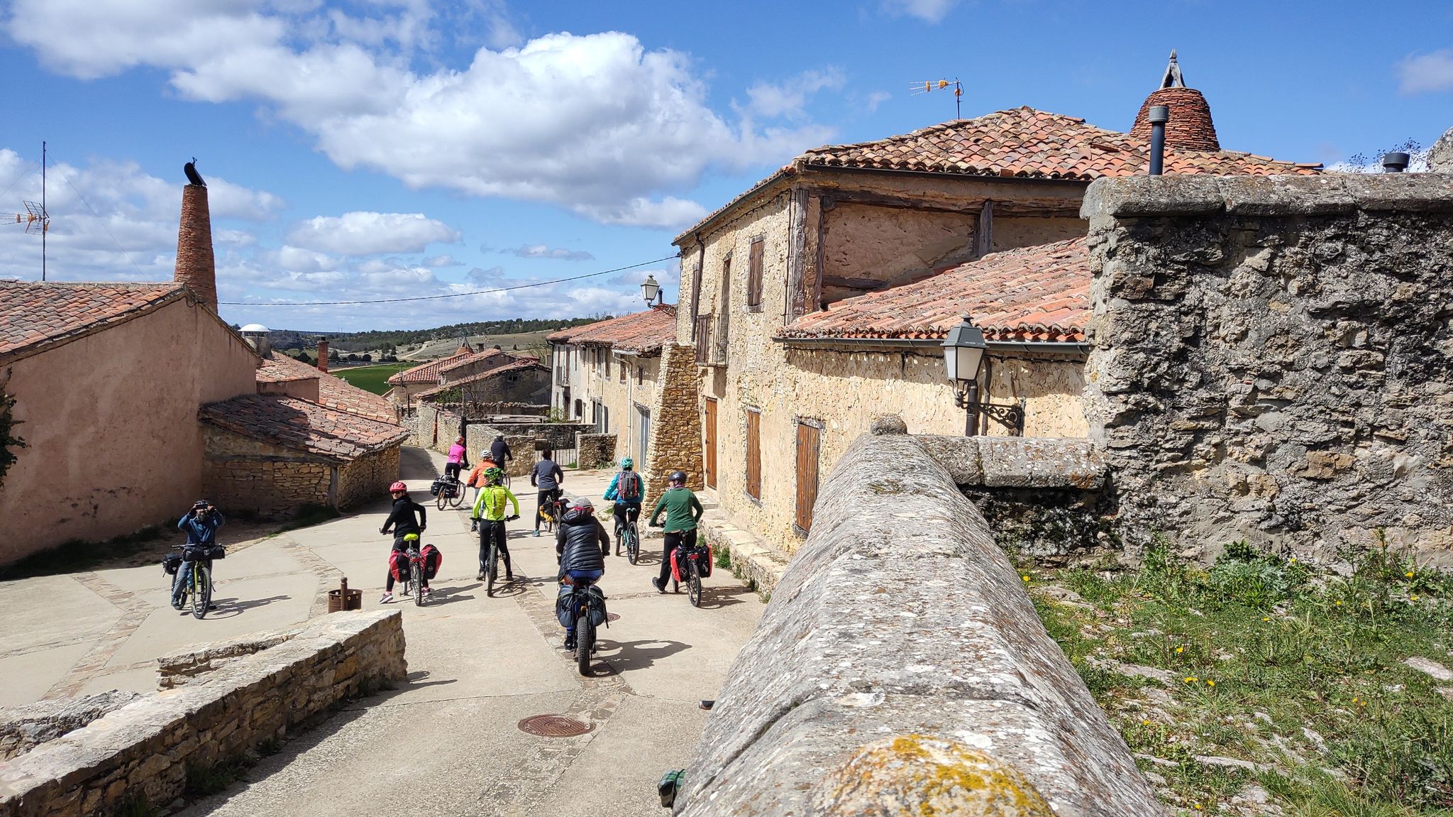
Millennial treasures on pedals – Romanesque art of Soria by MTB
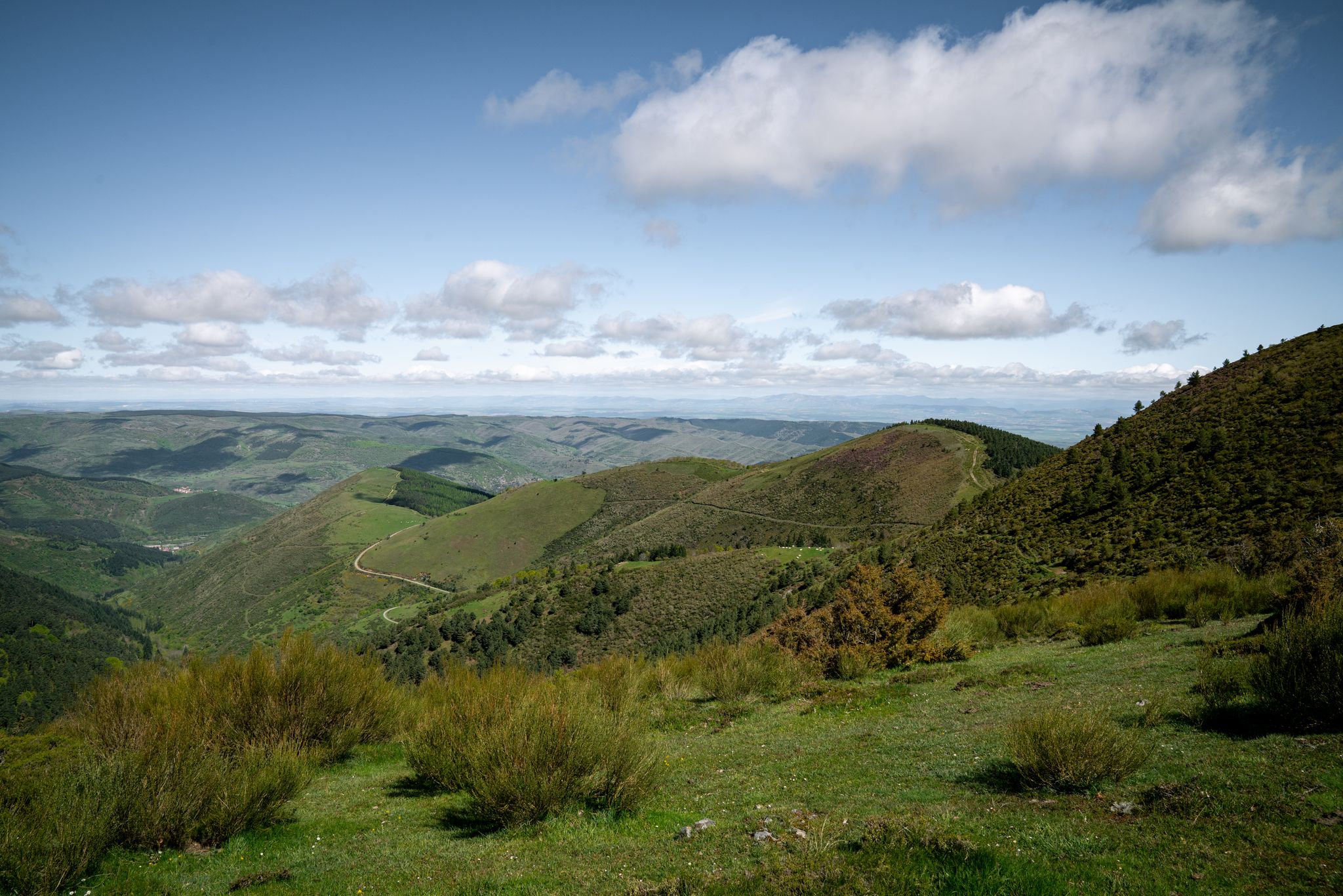
In the mountains of La Rioja – Iberian High Valleys trail (GR 190)
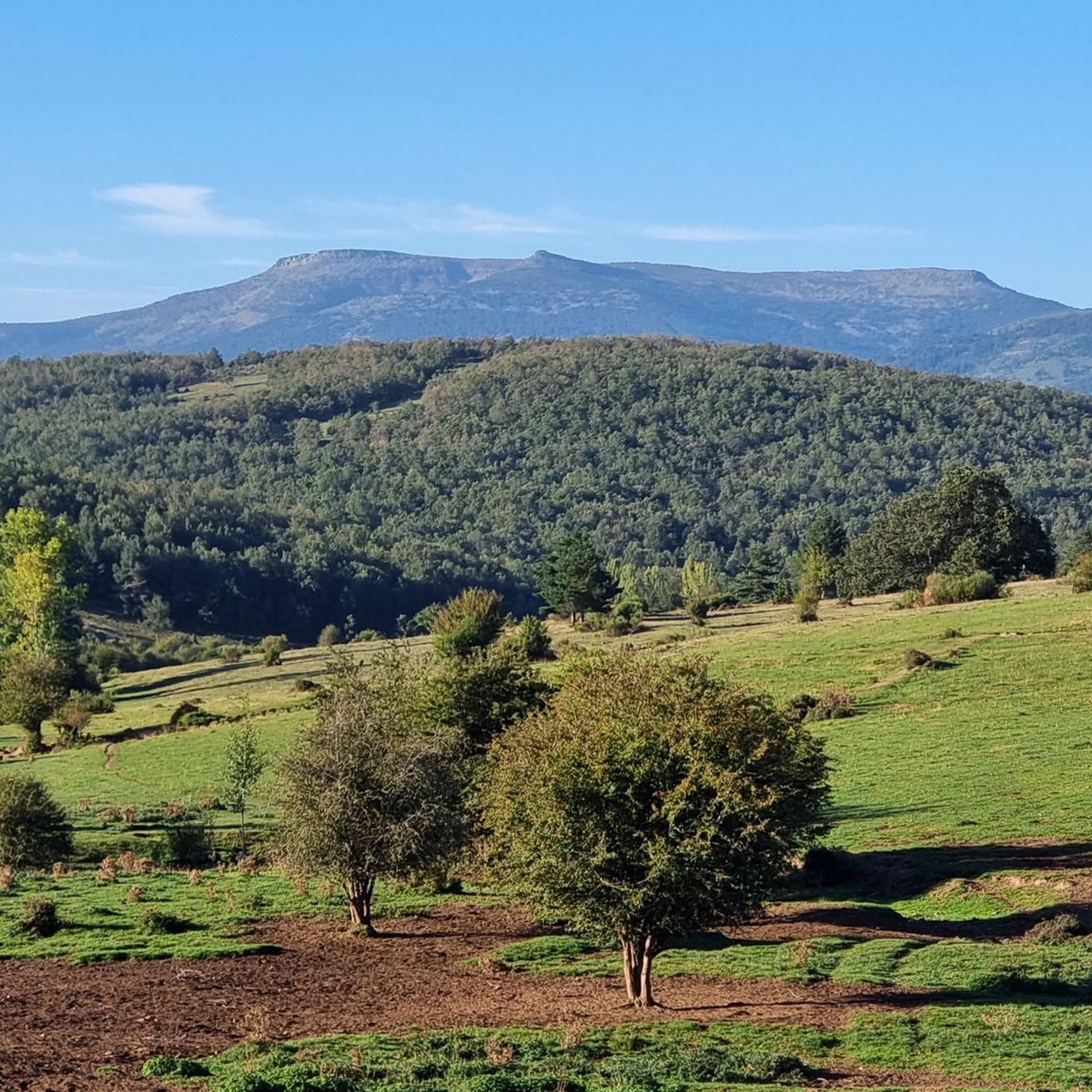
Road Cycling Routes around National Park Sierra Cebollera
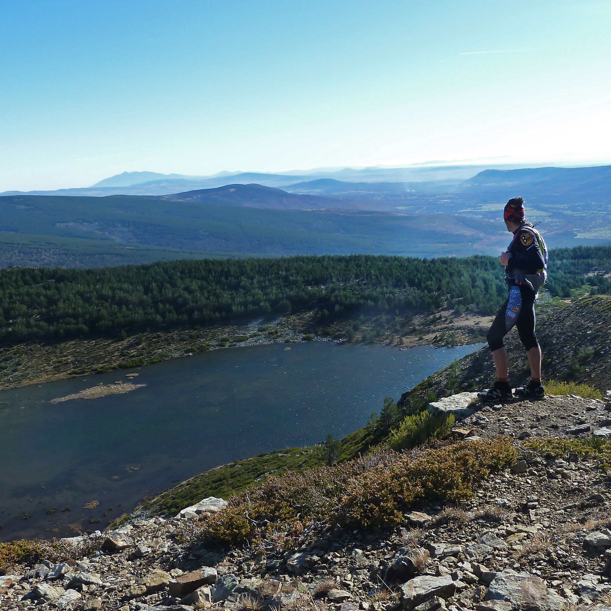
Hiking around National Park Sierra Cebollera
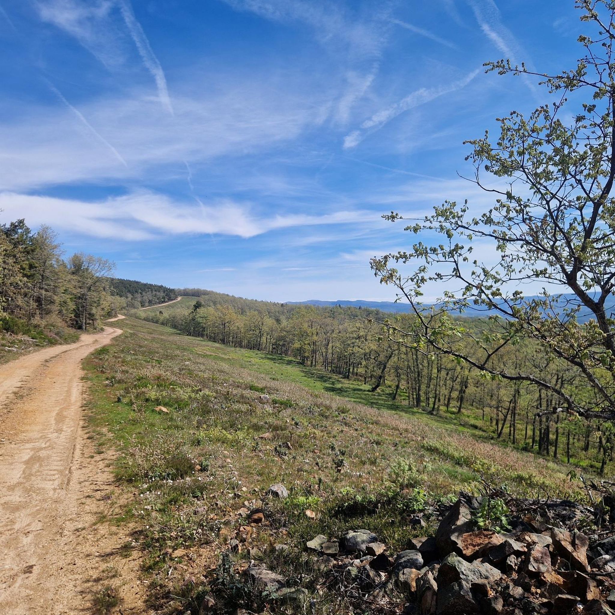
MTB Trails around National Park Sierra Cebollera
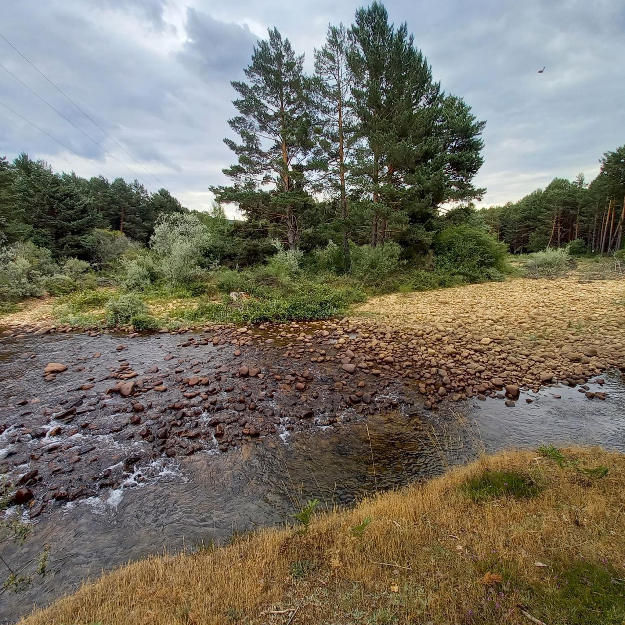
Cycling around National Park Sierra Cebollera
Other adventures around National Park Sierra Cebollera


Tips from the Community

A recommended area for walking.
0
0

Haven of peace surrounded by impressive forests.
0
0
A crossroads, surrounded by the cool breeze of the Puente Ra Stream, with a table and seat for resting. The natural surroundings are breathtaking.
0
0


One of the most beautiful mountain villages in the Cameros region. Filled with stone houses, it is located on the slopes of a natural canyon, the Encinedo massif. This ravine was formed through a karstic process that gave rise to several chasms and caves. Two of them can be visited, the one in La Paz and the one in La Villa.
1
0

The path passes through several hills with more hunting posts, connects with the forest track that goes up the La Rioja slope from Hoyos de Iregua and Villoslada de Cameros and up to the plateau where the Buey geodesic vertex (2,034 m) is located, another fantastic viewpoint of valleys, forests and mountain ranges. In case of bad weather or injury, you can continue straight ahead and go directly down to the port of Santa Inés.
0
1
A few minutes before reaching the hidden pit where the Green Lagoon is hidden, red marks appear painted on the tree trunks and facilitate access. The stone milestones go down the slope of the hillside to a small flooded canyon and shortly after the beautiful fluvial niche of the lagoon appears surrounded by pine trees precious in size and shape. The place is a natural wonder on the mountainside, with hardly any environmental alterations except for the tracks of the mountaineers who reached the shore. The trail leaves the lagoon from the same place, goes up about fifty meters up the mountainside, leaves the path to the left and continues straight through the bottom of the trough. The ascent is hard due to the inclination of the slope, there is not a good layout of the path and although there are stone milestones it is difficult to run and orient yourself at the same time.
0
1

Santa Inés is to the north of the province and it begins on its southern slope in the town of Vinuesa. Port of entity and that lasts several kilometers, where in the middle there is a detour to go to the Laguna Negra.
0
0
Frequently Asked Questions
How many running routes are available in National Park Sierra Cebollera?
There are 12 dedicated running routes in National Park Sierra Cebollera, offering a variety of experiences for joggers. These routes range from moderate to difficult, ensuring options for different fitness levels.
Are there running routes suitable for beginners or those looking for an easier jog?
While the park primarily features moderate and difficult routes, some paths offer gentler terrain. For example, the Thorny broom, Ra Bridge, Hermitage of Lomos de Orios – circular is a moderate 4.6-mile (7.4 km) trail that takes about 55 minutes, providing a good option for a less strenuous run through dense woodlands.
Can I find circular running routes in National Park Sierra Cebollera?
Yes, many of the running routes in Sierra Cebollera are circular, allowing you to start and end at the same point. Popular options include the Thorny broom, Ra Bridge, Hermitage of Lomos de Orios – circular, the González Lacasa Reservoir - El Rasillo Loop, and the El Rasillo de Cameros – Olmo de El Rasillo loop.
Are there any running trails that feature waterfalls or other notable natural attractions?
Absolutely! The park is renowned for its crystal-clear rivers and picturesque waterfalls. The 'Trail of the Waterfalls' is a notable route, leading to the Puente Ra waterfalls. You can also find the general Waterfalls highlight within the park, offering refreshing sights during your run.
What kind of landscapes can I expect to see while running in Sierra Cebollera?
Runners in Sierra Cebollera can expect a diverse range of landscapes. The park features extensive forests of Scots pine, beech, and oak, offering shaded paths. You'll also encounter crystal-clear rivers, varied mountain terrain with glacial formations, and high-altitude meadows that open up to expansive views. Autumn is particularly stunning with vibrant foliage.
Are there any historical or cultural landmarks along the running routes?
Yes, some routes offer a glimpse into the region's history. For instance, the Thorny broom, Ra Bridge, Hermitage of Lomos de Orios – circular trail passes by the historic Ermita de Lomos de Orios, adding a cultural dimension to your run.
What is the best time of year for jogging in National Park Sierra Cebollera?
The park offers beautiful running conditions throughout much of the year. Spring and autumn are particularly pleasant, with mild temperatures and stunning natural beauty. Autumn provides a vibrant mosaic of yellow, ocher, and red foliage. Summer offers shaded paths in the dense forests, while winter can bring challenging conditions at higher altitudes due to snow.
Are there any challenging running routes for experienced trail runners?
Yes, Sierra Cebollera offers several challenging routes for experienced runners. For example, the Laguna Verde – Buey (2,045 m) loop from Puerto de Santa Inés is a difficult 6.0-mile (9.7 km) trail leading through mountain terrain, often completed in about 1 hour 19 minutes. The park has 8 routes classified as difficult.
What do other runners enjoy most about jogging in National Park Sierra Cebollera?
Runners frequently praise the park's diverse terrain, from dense, shaded forests to open mountain meadows, and the presence of crystal-clear rivers and waterfalls. The well-maintained trails and the opportunity to immerse oneself in nature, with potential wildlife sightings, are also highly valued by the komoot community.
Are there any routes that offer scenic views or viewpoints?
Many routes in Sierra Cebollera provide scenic views, especially those that ascend to higher altitudes or pass through mountain meadows. The varied mountain terrain, with elevations reaching over 2,000 meters, offers expansive vistas of the Iberian mountain range and its unique glacial formations.
Is there parking available at the trailheads for running routes?
While specific parking details for each trailhead are best checked on individual route pages, the National Park Sierra Cebollera generally provides parking facilities near popular trailheads, especially around towns like Villoslada de Cameros, which serves as a central point for many park activities.
Can I access the running routes using public transport?
Access to National Park Sierra Cebollera by public transport can be limited. It is advisable to research specific bus routes or services that connect to towns bordering the park, such as Villoslada de Cameros, which may offer closer access points to some running trails. Planning ahead is recommended.
Most popular routes around National Park Sierra Cebollera
Most popular attractions around National Park Sierra Cebollera

Get inspired with the komoot mobile app


Explore more
Browse the best Running Trails & Routes in other regions.
