The best walks and hikes around Villalbilla De Burgos
4.4
(501)
3,729
hikers
155
hikes
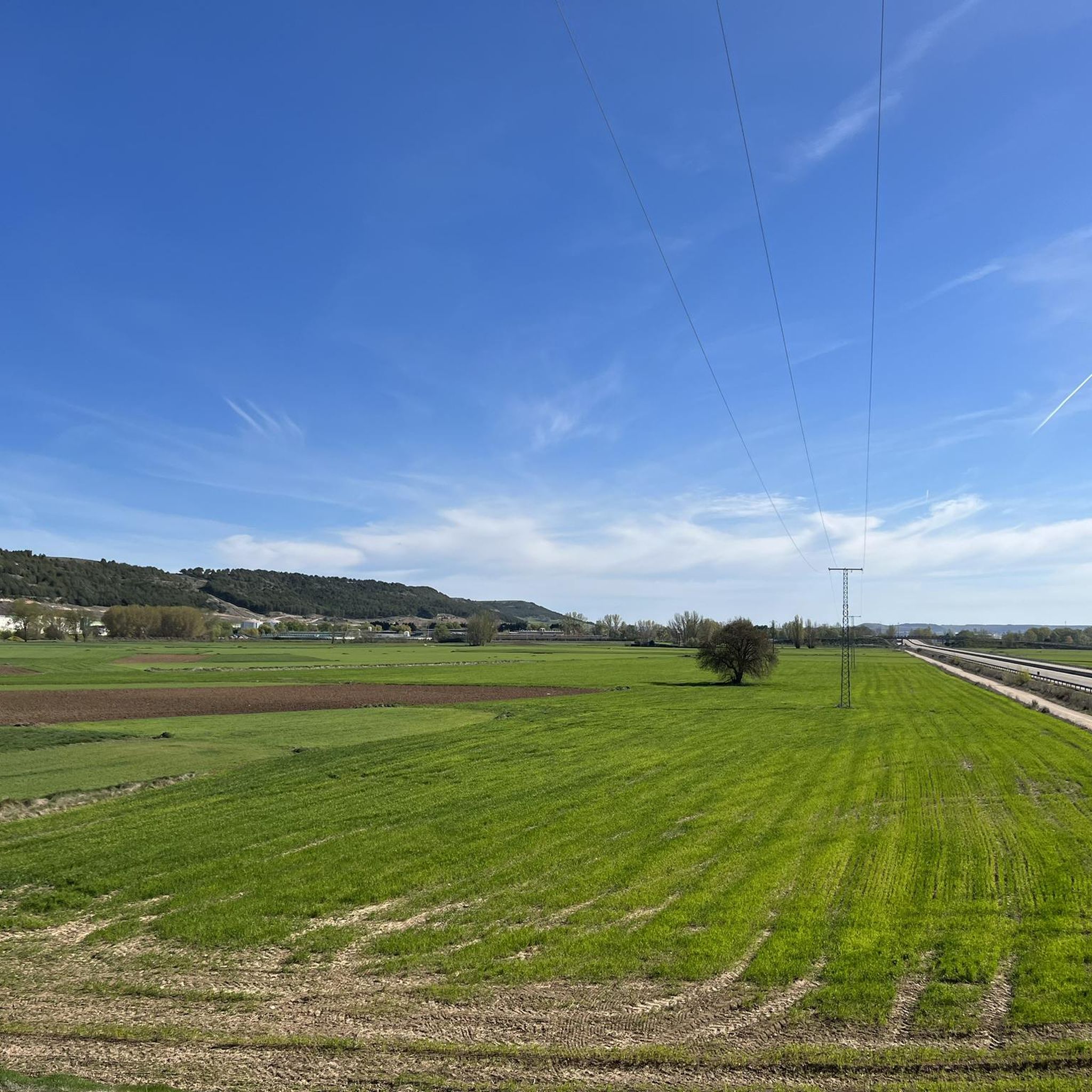
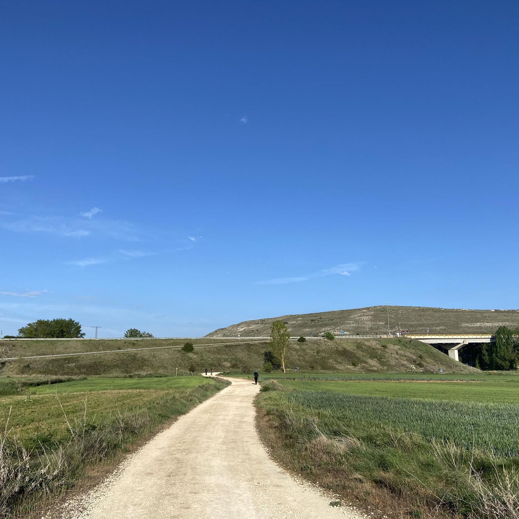
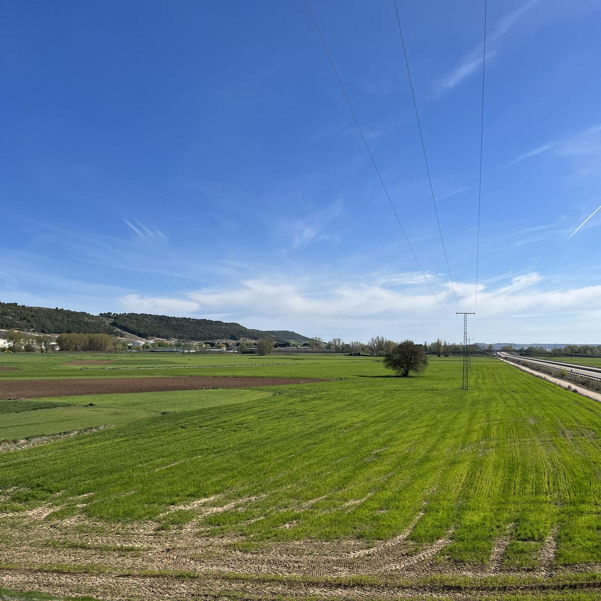
Hiking around Villalbilla De Burgos offers a network of trails primarily characterized by its flat to gently rolling terrain, often following historical paths like the Camino de Santiago. The landscape features open fields, riverine environments along the Arlanzón River, and views of local villages. Elevation changes are generally minimal, making many routes accessible. The area provides opportunities for easy hikes Villalbilla De Burgos, with some moderate options for longer excursions.
Best hiking trails around Villalbilla De Burgos
- The most popular…
Last updated: October 7, 2026
4.0
(1)
2
hikers
Moderate hike. Good fitness required. Mostly accessible paths. Sure-footedness required.
4.5
(10)
41
hikers
18.4km
04:57
220m
220m
Moderate hike. Good fitness required. Easily-accessible paths. Suitable for all skill levels.

5.0
(1)
37
hikers
Easy hike. Great for any fitness level. Easily-accessible paths. Suitable for all skill levels.
5.0
(1)
21
hikers
8.71km
02:12
20m
20m
Moderate hike. Good fitness required. Easily-accessible paths. Suitable for all skill levels.
4.0
(2)
30
hikers
Moderate hike. Good fitness required. Easily-accessible paths. Suitable for all skill levels.
Get access to more routes and recommendations from other explorers.
Already have an account?
Our route recommendations are based on thousands of hikes, rides, and runs completed by other people on komoot.
Start today with a free account
Your next adventure awaits.
Tips from the Community

Meeting place that combines history, modernity, and everyday life.
0
0

The chapel is very beautiful, the sisters unfortunately partly intrusive. You are touched without asking. A Catholic nun should actually know that only a priest has the authority to bless by laying on hands (except one's own parents) and even if she doesn't know that, there's still the normal human decency of asking strangers if they want to be touched.
0
0

Historical treasures and pilgrimage routes Burgos is known for its impressive Gothic cathedral, the third largest in Spain after those in Seville and Toledo. This cathedral, along with the Monasterio de las Huelgas, makes the city an important stop on the pilgrimage route to Santiago de Compostela.
4
0
Place with a view of the stream
8
0


The banks of the Arlanzón river as it passes through Burgos are a perfect setting for outdoor sports.
1
1

An unusual but beautiful depiction of a pilgrim.
2
0

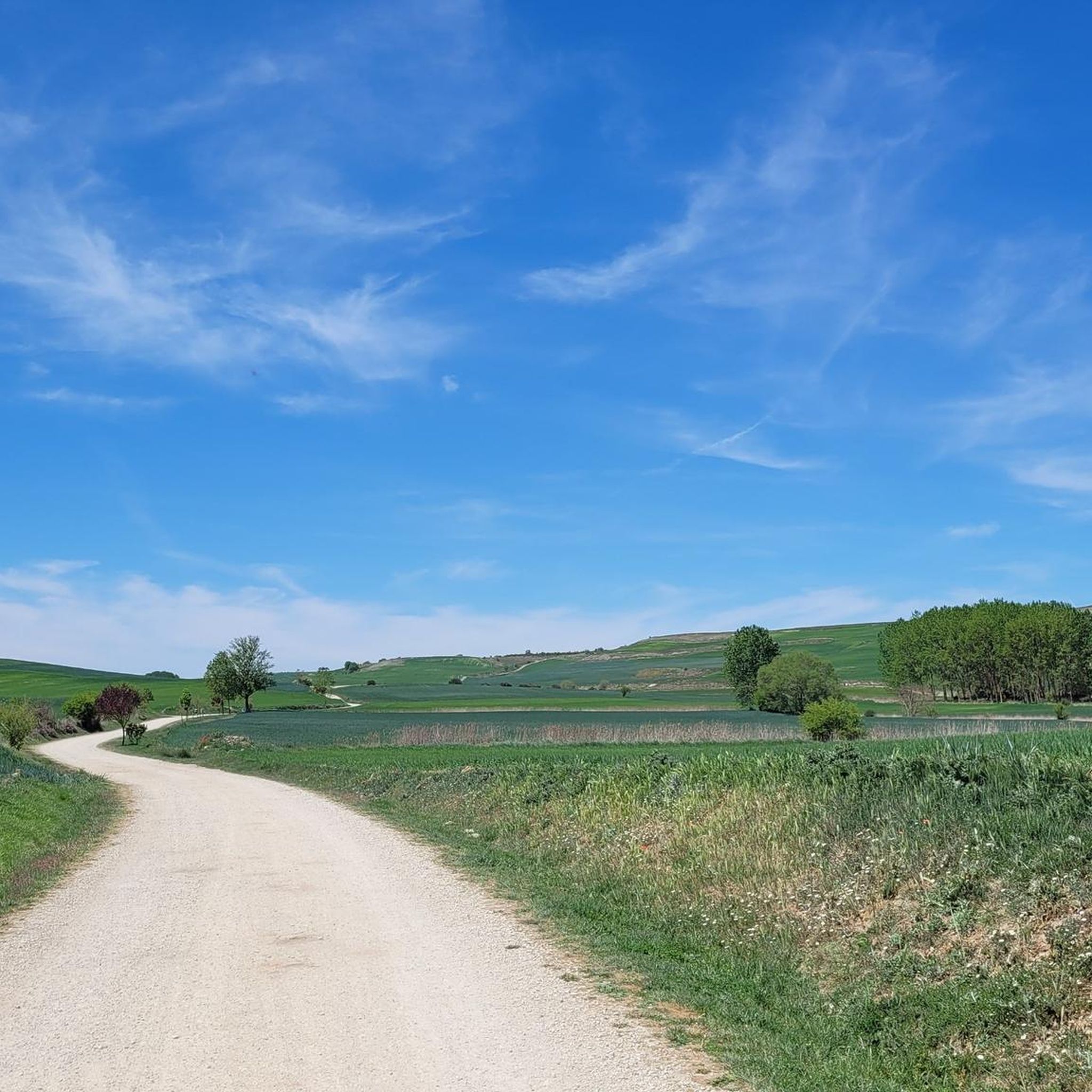
A view of infinity! Rolling hills, I feel like I'm walking through a beautiful landscape.
0
0
Frequently Asked Questions
How many hiking trails are available around Villalbilla De Burgos?
There are over 140 hiking trails around Villalbilla De Burgos. The network offers a wide range of options, with approximately 65 easy routes, 70 moderate routes, and a few more challenging paths.
What kind of terrain can I expect on hikes in Villalbilla De Burgos?
The terrain around Villalbilla De Burgos is generally flat to gently rolling, characterized by open fields, riverine environments along the Arlanzón River, and views of local villages. Elevation changes are minimal, making many routes accessible for various fitness levels.
Are there any easy or beginner-friendly hiking routes in the area?
Yes, Villalbilla De Burgos is well-suited for easy and beginner-friendly hikes, with over 65 routes classified as easy. Many of these follow historical paths or riverbanks. An example is the Path Along the Arlanzón River – Statue of the Seated Pilgrim loop from Cathedral of Santa Maria, which is 6.0 km long and takes about 1 hour 31 minutes.
Are there any circular walks around Villalbilla De Burgos?
Yes, many of the trails in Villalbilla De Burgos are circular, offering convenient starting and ending points. These loops allow you to explore the diverse landscape without retracing your steps. You can find numerous circular options suitable for various distances and difficulties.
What are some interesting landmarks or attractions I can see while hiking?
The area around Villalbilla De Burgos is rich in history and culture. You can encounter significant landmarks such as the impressive Burgos Cathedral, the historic Arch of Santa María, and the bustling Plaza Mayor of Burgos. Some routes also pass by historical castles like the Staircase to Castillo de Burgos.
Is Villalbilla De Burgos suitable for family hikes?
Absolutely. Given the predominantly flat to gently rolling terrain and the abundance of easy routes, Villalbilla De Burgos is an excellent destination for family hikes. Many paths follow riverbanks or open fields, providing safe and enjoyable experiences for all ages. Look for the 'easy' rated trails for the most family-friendly options.
Can I bring my dog on the hiking trails?
Most trails in the Villalbilla De Burgos area are dog-friendly, especially those through open fields and along river paths. However, it's always advisable to keep your dog on a leash, particularly when passing through agricultural areas or near livestock, and to check local regulations for specific routes or protected areas.
What is the best time of year to go hiking in Villalbilla De Burgos?
Spring and autumn are generally the best times for hiking in Villalbilla De Burgos. The weather is milder, and the landscape is vibrant with spring blooms or rich autumn colors. Summer can be hot, so early morning or late afternoon hikes are recommended. Winter hiking is possible, but some paths might be muddy or chilly.
Are there any long-distance hiking options in the region?
Yes, the region is known for its connection to the Camino de Santiago, offering opportunities for longer excursions. While many routes are shorter, you can combine sections of the Camino or other trails to create longer, multi-hour hikes. For example, the Path Along the Arlanzón River – The sun always at your back loop from Cathedral of Santa Maria is a moderate 7.9 km route that can be extended.
What do other hikers enjoy most about Villalbilla De Burgos?
The area is highly rated by the komoot community, with an average score of 4.4 stars from over 200 reviews. Reviewers often praise the peaceful atmosphere, the well-maintained paths, and the historical significance of routes like the Camino de Santiago. The gentle terrain and scenic river views are also frequently highlighted.
Is there public transport access to the trailheads?
While Villalbilla De Burgos is a smaller municipality, its proximity to Burgos city means that some trailheads, especially those closer to urban areas or along major routes, may be accessible via local bus services. For more remote starting points, driving or cycling to the trailhead might be necessary. It's recommended to check local bus schedules for specific routes.
What should I bring for a hike in Villalbilla De Burgos?
For hiking in Villalbilla De Burgos, essential items include comfortable walking shoes, water, sun protection (hat, sunscreen), and a light jacket, as weather can change. Given the open terrain, a map or GPS device is useful for navigation. For longer hikes, snacks and a fully charged phone are also recommended.
Most popular routes around Villalbilla De Burgos
Most popular attractions around Villalbilla De Burgos

Get inspired with the komoot mobile app


Explore more
Browse the best Hikes in other regions.
