The best road cycling routes around Encinas Reales
4.5
(4)
701
riders
61
rides
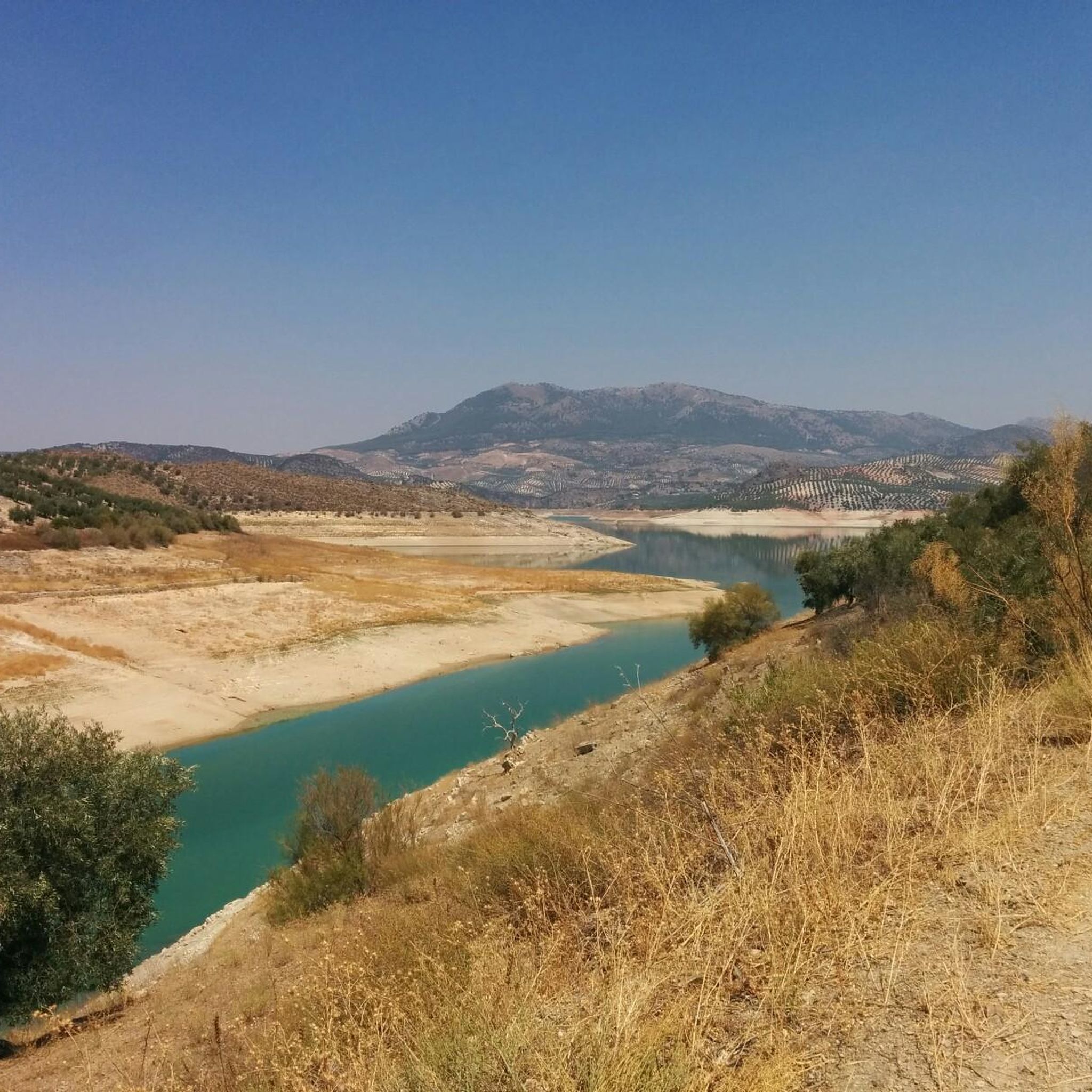
Road cycling around Encinas Reales offers varied terrain in the foothills of the Subbetica mountain range, characterized by extensive olive groves and undulating landscapes. The region features a mix of ascents and descents, providing engaging rides through a "sea of olives." Rivers like the Genil and Anzur contribute to the natural beauty, with routes often offering views of the Iznájar reservoir. This area provides a diverse backdrop for road cyclists seeking both challenging climbs and scenic rides.
Best road cycling…
Last updated: May 14, 2026
15
riders
Moderate road ride. Good fitness required. Some segments of this route may be unpaved and difficult to ride.
5.0
(1)
28
riders
86.4km
04:24
1,460m
1,460m
Hard road ride. Very good fitness required. Mostly well-paved surfaces and easy to ride.

Sign up for free
4.0
(1)
26
riders
78.0km
04:19
1,690m
1,690m
Hard road ride. Very good fitness required. Mostly well-paved surfaces and easy to ride.
25
riders
50.3km
02:30
760m
760m
Moderate road ride. Good fitness required. Mostly well-paved surfaces and easy to ride.
26
riders
70.7km
03:45
950m
950m
Hard road ride. Very good fitness required. Some segments of this route may be unpaved and difficult to ride.
Get access to more routes and recommendations from other explorers.
Sign up for free
Already have an account?
Our route recommendations are based on thousands of hikes, rides, and runs completed by other people on komoot.
Start today with a free account
Your next adventure awaits.
Login or Signup
Tips from the Community


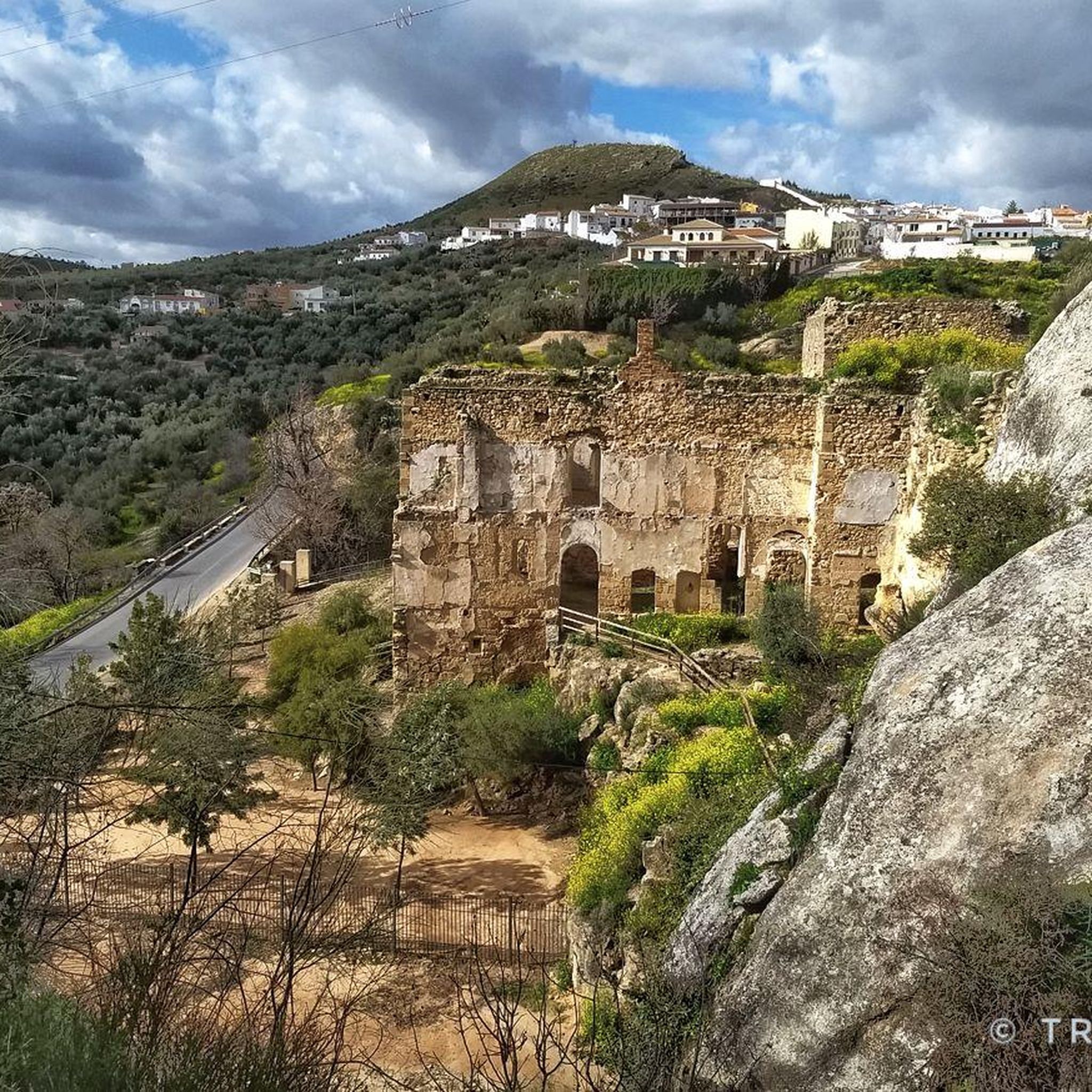
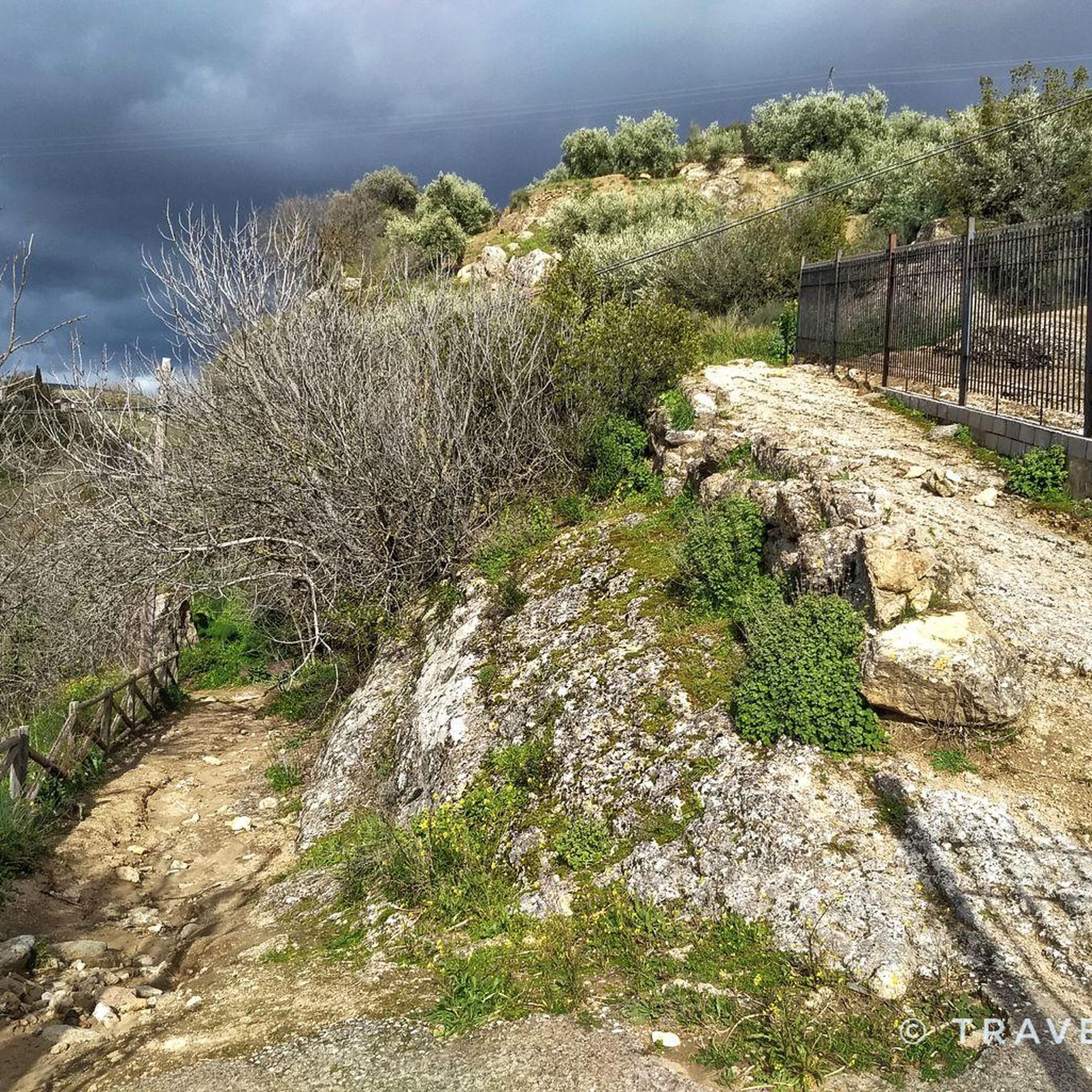
The Adarve is a cobbled street about 400 meters long that encircles the Barrio de la Villa between the Castle and the Plaza de la Puerta del Sol, bordering a natural slope that ensured the defense of the city in times of siege
0
0

The loop just before here was not very smooth. Ok for my 30mm tyres but probably worth missing out.
0
0

Bridge that crosses the Río Genil and which is beautiful even though it is for the passage of vehicles. As you move away, you see its huge arches touching the waters of the river itself.
0
0
It is at this point where there is the break to go to see Laguna de los Jarales, which together with the other lagoon to the west of it, Laguna Amarga, form the Laguna de los Jarales Natural Reserve Protection Zone.
0
1
A population center located between the Ríos Genil and Ríos de Anzuro, where it is located on a small ridge on both sides of the river. The center is small with a spectacular Iglesia Parroquial de la Expectación.
0
1
Frequently Asked Questions
How many road cycling routes are available around Encinas Reales?
There are over 60 road cycling routes available around Encinas Reales. These routes offer a diverse range of experiences, from moderate rides through olive groves to more challenging ascents in the Subbetica foothills.
What is the typical terrain like for road cycling in Encinas Reales?
The terrain around Encinas Reales is predominantly undulating, characterized by vast olive groves that create a 'sea of olives.' You'll encounter a mix of ascents and descents, especially as you approach the foothills of the Subbetica mountain range. Roads are generally quiet and well-maintained, offering scenic views of the landscape and river valleys.
What are the difficulty levels of road cycling routes in Encinas Reales?
Road cycling routes in Encinas Reales are categorized as moderate and difficult. Approximately 25 routes are moderate, while 36 are considered difficult, featuring significant climbs and longer distances. There are no easy routes listed in the immediate vicinity.
Are there many challenging climbs for road cyclists in the Encinas Reales area?
Yes, the region offers numerous challenging climbs, particularly as it serves as a gateway to the Subbetica mountain range. The undulating terrain ensures a continuous series of ascents and descents, making it suitable for cyclists looking for a demanding ride. Routes like Mirador del Adarve – Iznájar Dam and Reservoir loop from Cuevas de San Marcos feature significant elevation gains.
What natural features or viewpoints can I expect to see on road cycling routes?
Road cycling routes often provide stunning views of the 'sea of olives,' the Genil and Anzur rivers, and the Iznájar reservoir. A notable viewpoint is El Cedrón Viewpoint, which offers panoramic vistas across three Andalusian provinces. You might also pass by the El Cañuelo Trail – Iznájar Reservoir, providing beautiful lakeside scenery.
Are there any interesting landmarks or attractions near the road cycling routes?
Yes, beyond the natural beauty, you can find several points of interest. These include the Sanctuary of Nuestra Señora de Araceli, the historic Torre El Canuto, and even the unique ADEBO Donkey Sanctuary. These attractions offer cultural and historical insights into the region.
Are there any circular road cycling routes around Encinas Reales?
Yes, many of the road cycling routes around Encinas Reales are circular. For example, the popular Encinas Reales, Benameji and Cuevas Bajas — circular from Cuevas de San Marcos is a 45 km loop connecting several villages. Another option is the Benamejí – Encinas Reales loop from Benamejí.
What is the best time of year for road cycling in Encinas Reales?
The best time for road cycling in Encinas Reales is typically during the spring (March to May) and autumn (September to November). During these seasons, temperatures are milder and more comfortable for cycling, allowing you to fully enjoy the scenic routes without the intense heat of summer.
Can I find family-friendly road cycling routes in Encinas Reales?
The routes directly around Encinas Reales are generally rated as moderate to difficult, featuring undulating terrain and significant climbs. While there are no specifically designated 'easy' or 'family-friendly' road cycling routes listed, the broader Subbetica region offers the Vía Verde del Aceite, a converted railway line that provides a flatter, more accessible option for families, though it does not pass directly through Encinas Reales.
What do other road cyclists enjoy the most about road cycling in Encinas Reales?
The area is highly rated by the komoot community, with an average score of 4.5 stars. Cyclists often praise the quiet, well-maintained roads, the stunning 'sea of olives' landscapes, and the engaging mix of ascents and descents. The opportunity to experience authentic inland Andalusia away from heavy traffic is also a significant draw.
Are there options for longer road cycling tours that include the Iznájar Dam and Reservoir?
Yes, several longer routes incorporate the impressive Iznájar Dam and Reservoir. The Mirador del Adarve – Iznájar Dam and Reservoir loop from Cuevas de San Marcos is a difficult 86 km path offering expansive views. Another option is the Views of the Genil River – Iznájar Dam and Reservoir loop from Cuevas de San Marcos, a 78 km trail that leads through river valleys and past the dam.
Is public transport available to access road cycling routes in Encinas Reales?
While Encinas Reales is a charming village, specific public transport options directly tailored for cyclists to access trailheads are limited. It's generally recommended to arrive by car, especially if you're bringing your own bike, to have the most flexibility in reaching various starting points for the routes.
Most popular attractions around Encinas Reales

Get inspired with the komoot mobile app


Explore more
Browse the best Road cycling routes in other regions.
