The best road cycling routes around Sant Joan De Vilatorrada
4.2
(150)
14,318
riders
222
rides
Road cycling routes around Sant Joan De Vilatorrada traverse a landscape characterized by rolling hills and rural roads, offering a mix of challenging climbs and more gentle sections. The region features a blend of agricultural areas and historical landmarks, providing varied scenery for cyclists. Elevation gains are common, with routes often leading to scenic viewpoints or cultural sites.
Best road cycling routes around Sant Joan De Vilatorrada
- The most popular road cycling route is Castelltallat Observatory Loop, a 29.6…
Last updated: November 8, 2026
4.0
(2)
259
riders
47.6km
02:33
790m
790m
53
riders
Moderate road ride. Good fitness required. Mostly well-paved surfaces and easy to ride.

41
riders
62.5km
03:13
940m
940m
Hard road ride. Very good fitness required. Some segments of this route may be unpaved and difficult to ride.
43
riders
32.8km
01:32
320m
320m
Moderate road ride. Good fitness required. Mostly well-paved surfaces and easy to ride.
31
riders
74.7km
03:50
1,180m
1,180m
Hard road ride. Very good fitness required. Some segments of this route may be unpaved and difficult to ride.
Get access to more routes and recommendations from other explorers.
Already have an account?
Our route recommendations are based on thousands of hikes, rides, and runs completed by other people on komoot.
Start today with a free account
Your next adventure awaits.
Tips from the Community

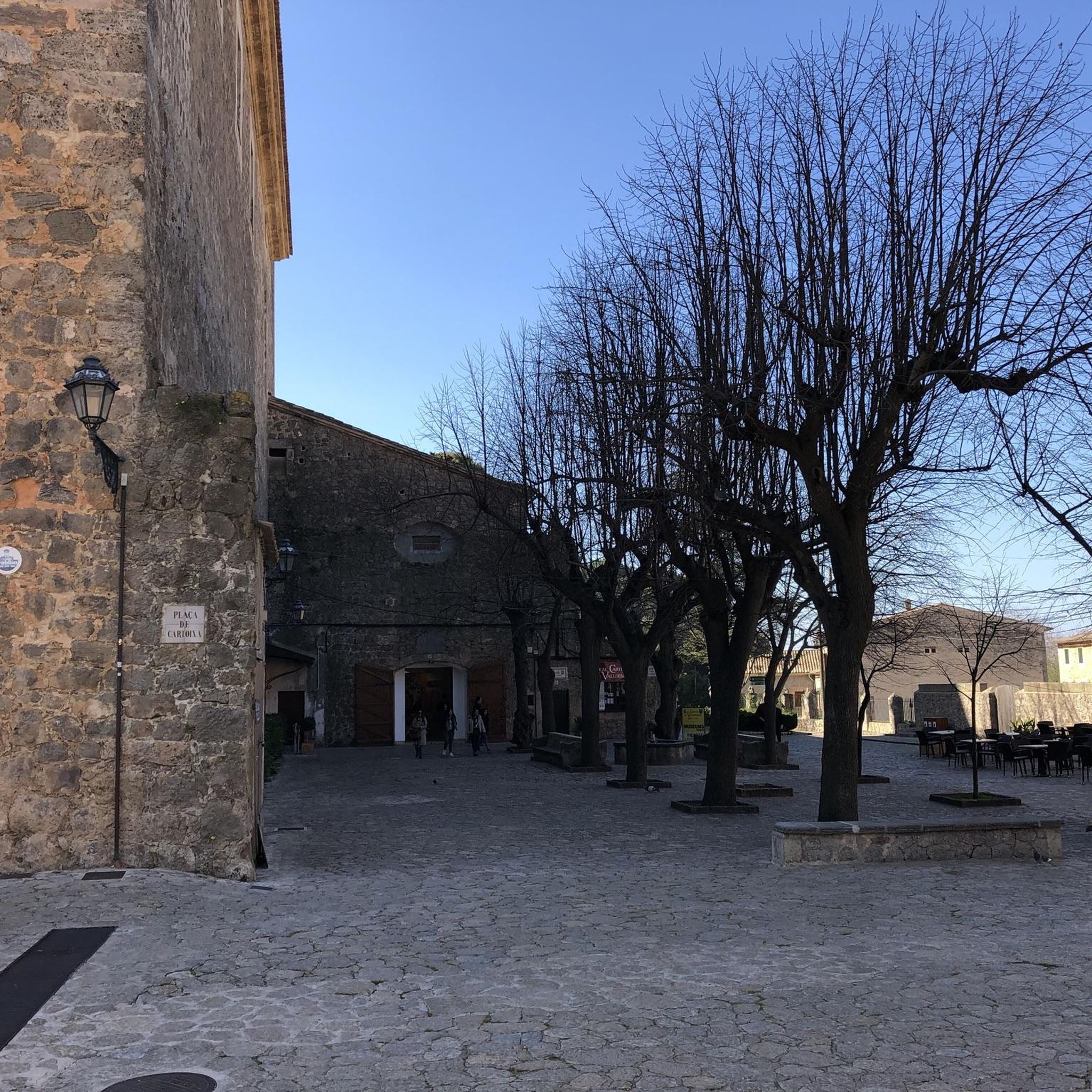
This old textile colony on the Cardener river is part of Catalonia's industrial heritage. Its architectural richness has earned it a place on the register of assets of cultural interest.
0
0
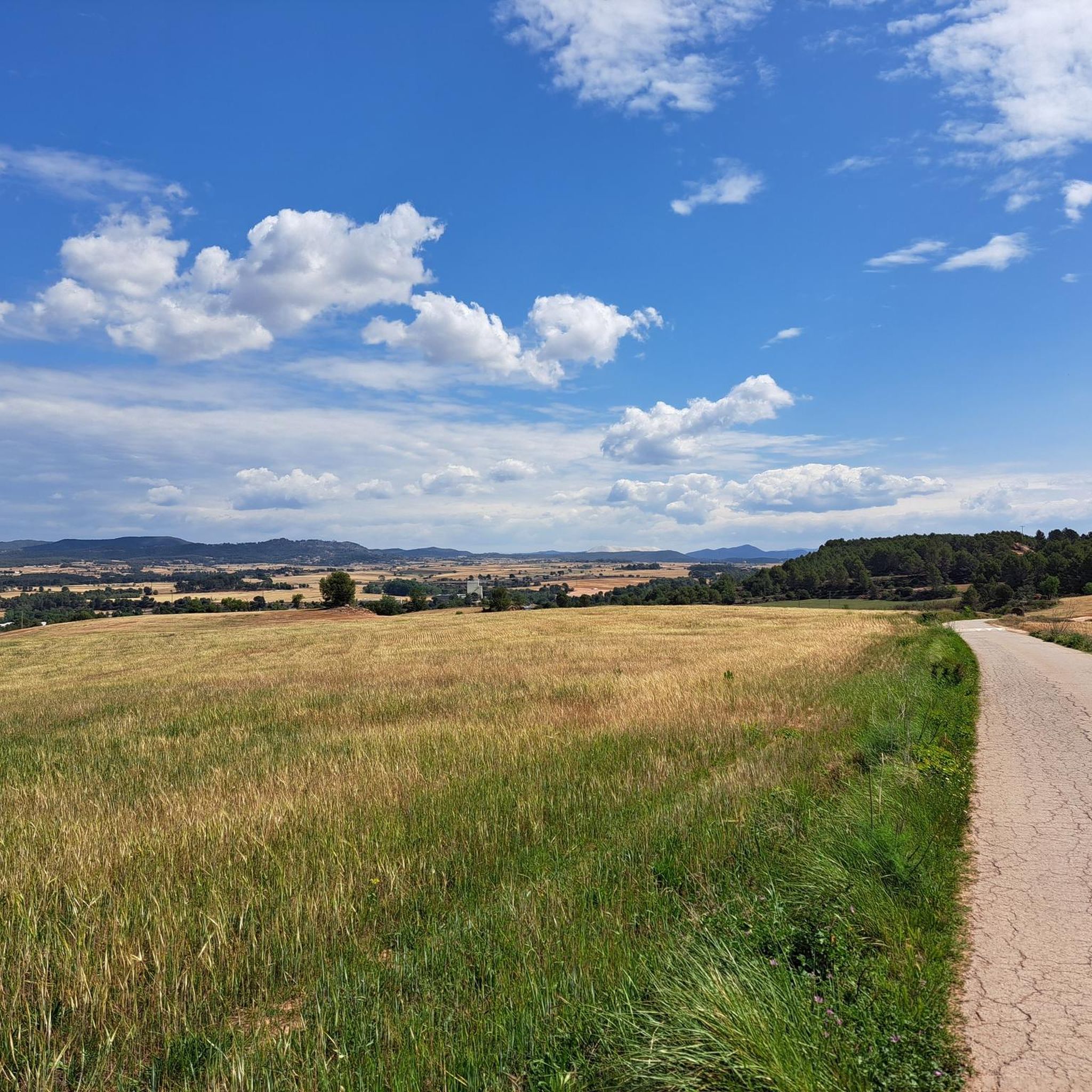
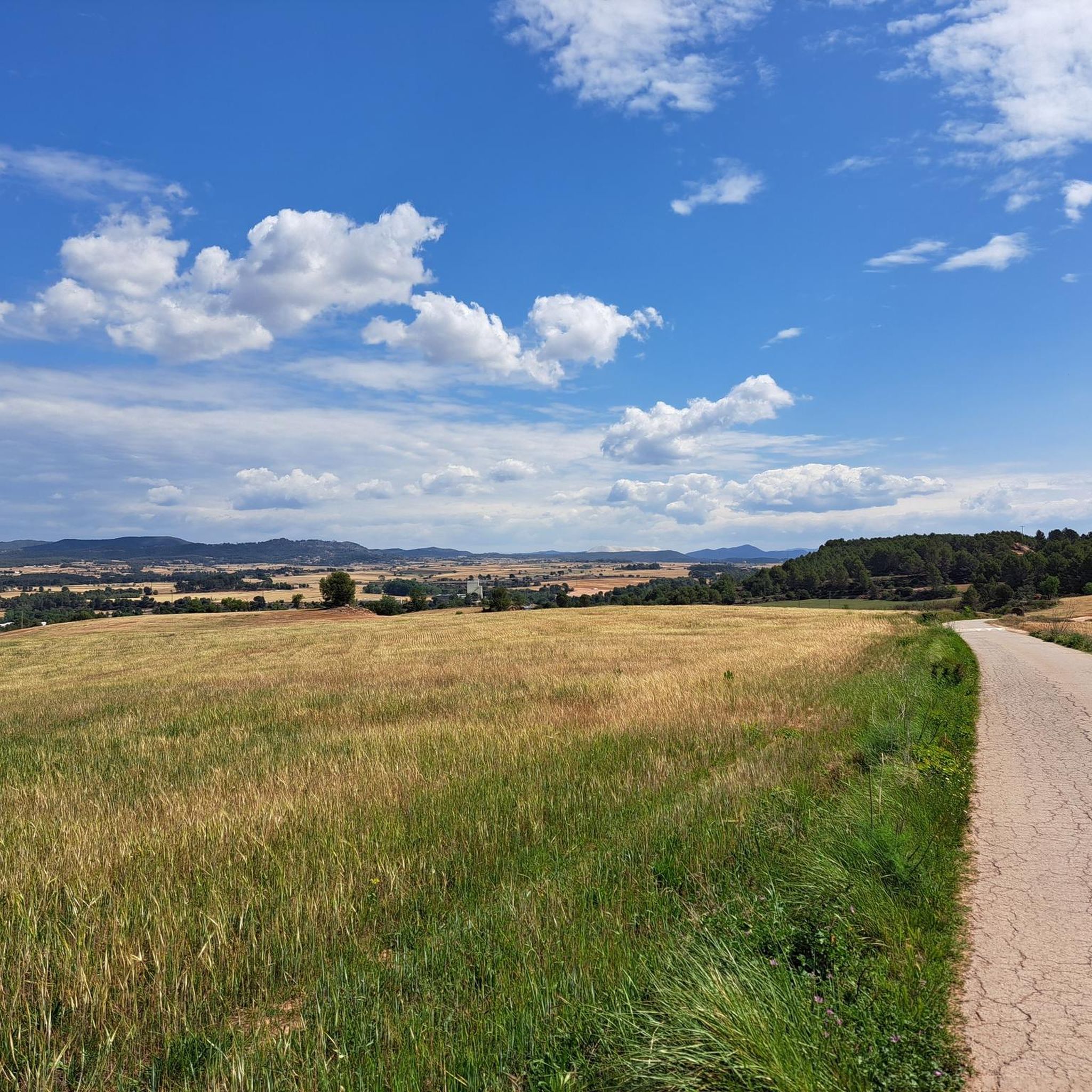
The ascent to the castle and observatory of Castelltallat is one of the cycling classics of this sparsely populated area. In this mountain range there are only a few farmhouses, which contributes to the low light pollution and makes the installation of an observatory ideal. On the ascent, the views of Montserrat are spectacular.
1
0

It is the parish church of the Matamargó disseminate, east of the municipality of Pinós. It is located in the easternmost foothills of the Serra de Pinós, on top of a hill, above the Les Cases farmhouse and west of the Riera de Matamargó. The church square is framed, to the north, by the walls and the entrance gate of a very neat cemetery, and to the south by the rectory building. The complex is the civic center and replaces the non-existent nucleus of the population entity of Matamargó. Source: Wikipedia
0
0
Santa Maria de Pinós or Sanctuary of Pinós or Our Lady of Pinós is a church of the municipality of Pinós al (Solsonès) included in the Inventory of the Architectural Heritage of Catalonia. Source: Wikipedia
0
0

I grew up there, long before the observatory and the archaeological works at the Castle. When we were little, it seemed to us that the idea that there was a castle behind the church was a chimera. When it was brought to light, it seemed like magic.
0
0
Entrance to the Villa of St. Joan de Vilatorrada from the C-55, nearby you can find supermarkets and some bar-restaurants for refreshments. Entrance sign to a town that is a brevet control point.
1
0

Very close to the Geographical Center of Catalonia.
0
0

Town, head of the municipality of the same name, formed in 1840 from the grouping of Castelltallat, Coaner, Salo, Sant Mateu de Bages and Valls de Torroella, with a little over 600 inhabitants. With more than 100km2, it is the largest municipality in the province of Barcelona. The site of Sancto Matheo is documented since the 10th century. The castle is mentioned for the first time in 1018. During the Second Spanish Republic it adopted the name of Bages d'en Selves.
0
0
Frequently Asked Questions
How many road cycling routes are available in Sant Joan De Vilatorrada?
There are over 200 road cycling routes around Sant Joan De Vilatorrada, offering a wide range of options for different skill levels. This includes 15 easy routes, 56 moderate routes, and 132 difficult routes for experienced cyclists.
Are there road cycling routes suitable for beginners in Sant Joan De Vilatorrada?
Yes, Sant Joan De Vilatorrada offers several routes suitable for beginners. An easy option is the PC St. Joan de Vilatorrada loop from Callús, which is just under 20 km with minimal elevation gain, providing a gentle introduction to the region's cycling.
What are some challenging road cycling routes with significant elevation gain?
For experienced cyclists seeking a challenge, routes like the Sanctuary of Pinós – Geographical Center of Catalonia loop from Bages offer substantial elevation gain, climbing over 1,100 meters across its 75 km distance. These routes traverse rolling hills and provide demanding climbs.
What kind of scenery can I expect on road cycling routes in Sant Joan De Vilatorrada?
The routes in Sant Joan De Vilatorrada feature a diverse landscape of rolling hills, agricultural areas, and rural roads. You'll encounter historical landmarks and often reach scenic viewpoints, providing varied and engaging scenery throughout your ride.
Are there any loop road cycling routes in the area?
Yes, many road cycling routes in Sant Joan De Vilatorrada are designed as loops. For instance, the Castelltallat Observatory Loop is a popular option that brings you back to your starting point after exploring the region.
What historical landmarks or attractions can I see along the routes?
Many routes pass by significant historical sites. You might encounter the Basilica of Santa Maria de la Seu de Manresa, the ancient Pont Vell de Manresa, or various castles such as Rajadell Castle and Castellnou Castle Tower. The Sant Sadurní Church (Callús) – Castillo de Cardona loop from Bages specifically leads past the historic Castillo de Cardona.
What do other road cyclists say about the routes in Sant Joan De Vilatorrada?
The road cycling routes in Sant Joan De Vilatorrada are highly rated by the komoot community, with an average score of 4.4 stars from over 100 reviews. Cyclists often praise the varied terrain, the mix of challenging climbs and gentle sections, and the beautiful rural landscapes.
What is the best time of year for road cycling in Sant Joan De Vilatorrada?
The region's climate generally allows for road cycling through much of the year. Spring and autumn offer pleasant temperatures and vibrant scenery, while summer can be warm but still enjoyable, especially during early mornings or late afternoons. Winter rides are also possible, though conditions may vary.
Are there any specific scenic viewpoints to look out for?
Yes, many routes are designed to include scenic viewpoints. The Castelltallat Observatory Loop, for example, offers views towards the Castelltallat Observatory. Additionally, the Collbaix Summit is a notable point offering panoramic views of the surrounding area.
Where are good starting points for road cycling in Sant Joan De Vilatorrada?
Sant Joan De Vilatorrada itself serves as an excellent starting point, with many routes beginning and ending in the town. Other nearby towns like Callús or Bages also offer convenient access to the network of road cycling trails, often with available parking.
Can I find cafes or places to stop along the road cycling routes?
While specific cafes are not listed for every route, the routes often pass through or near small villages and towns where you can typically find local establishments for refreshments. Planning your route with komoot allows you to identify potential stops along the way.
Are there any hidden gem routes or less-traveled paths?
With over 200 routes, including many that traverse quiet rural roads, there are numerous opportunities to discover less-traveled paths. Exploring the more difficult routes or those that venture further into the agricultural areas can often lead to serene and less crowded cycling experiences away from the main thoroughfares.
Most popular routes around Sant Joan De Vilatorrada
Most popular attractions around Sant Joan De Vilatorrada

Get inspired with the komoot mobile app


Explore more
Browse the best Road cycling routes in other regions.
