The best walks and hikes around Naturpark Gantrisch
4.6
(4032)
31,636
hikers
622
hikes
Hiking around Naturpark Gantrisch offers diverse landscapes, from the Bernese Pre-Alps to the Stockhorn chain. The park's terrain ranges from 510 meters above sea level to 2239 meters at Schafberg, featuring mountain ranges, extensive forests, and significant wetlands. Hikers can explore areas around the Schwarzsee, follow the Schwarzwasser river through canyons, and traverse glacial landscapes like Brecca. The region provides a variety of hiking experiences across its varied elevation and natural features.
Best hiking trails around Naturpark Gantrisch
- The most popular hiking route is Lac Noir — loop from Schwarzsee, a 2.7 miles (4.3 km) trail that takes 1 hour 8 minutes to complete. This easy loop offers views of the idyllic Schwarzsee.
- Another top favourite among local hikers is Schwarzsee Lake Circuit, an easy 2.5 miles (4.1 km) path. This route circles the Schwarzsee, passing through moorland and alpine pastures.
- Local hikers also love the Breccaschlund Panorama Trail, an 8.9 miles (14.4 km) trail leading through the primeval, glacier-shaped landscape of Breccaschlund, often completed in about 4 hours 38 minutes.
- Hiking around Naturpark Gantrisch is defined by mountain ranges, serene lakes, and extensive forest areas. The network offers options for different ability levels, from leisurely walks to challenging mountain excursions.
- The routes in Naturpark Gantrisch are highly rated by the komoot community with an average score of 4.6 stars from more than 3,100 reviews. More than 23,000 hikers have used komoot to explore Naturpark Gantrisch's varied terrain.
Last updated: September 26, 2026
4.6
(155)
1,678
hikers
4.28km
01:08
40m
50m
Easy hike. Great for any fitness level. Easily-accessible paths. Suitable for all skill levels.
4.7
(146)
1,622
hikers
4.14km
01:05
30m
30m
Easy hike. Great for any fitness level. Easily-accessible paths. Suitable for all skill levels.

4.7
(103)
638
hikers
14.4km
04:38
610m
610m
Moderate hike. Good fitness required. Easily-accessible paths. Suitable for all skill levels.
4.5
(48)
233
hikers
5.39km
01:43
210m
220m
Moderate hike. Great for any fitness level. Mostly accessible paths. Sure-footedness required.
4.9
(40)
266
hikers
10.6km
04:42
800m
800m
Moderate hike. Good fitness required. Mostly accessible paths. Sure-footedness required.
Get access to more routes and recommendations from other explorers.
Already have an account?
Our route recommendations are based on thousands of hikes, rides, and runs completed by other people on komoot.
Start today with a free account
Your next adventure awaits.
Popular around Naturpark Gantrisch
Freiburg Pre-Alpine Trail – Hiking along the language border

Alpine Panorama Trail in Switzerland – Keep your eyes on the mountains

Via Jacobi – Following the Way of St James across Switzerland
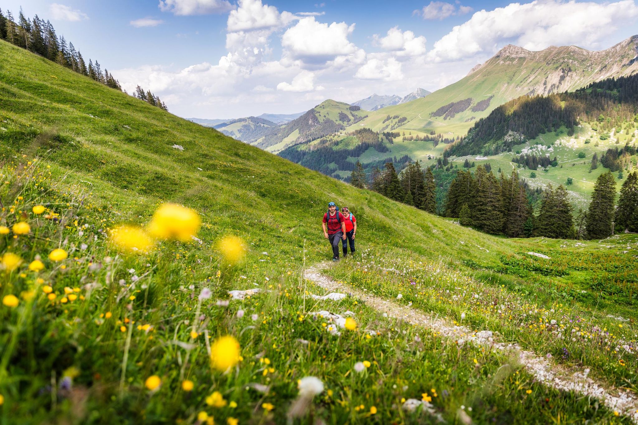
Your summer hikes in the Fribourg Region
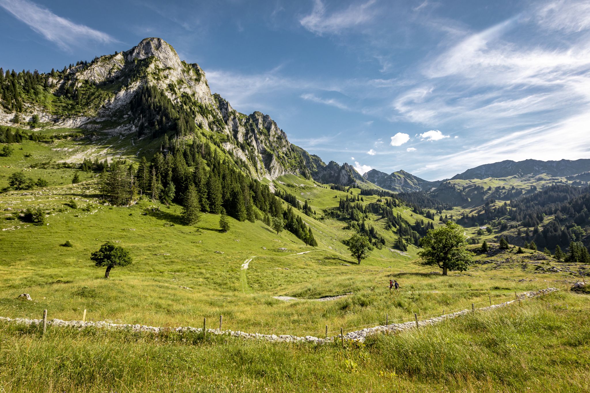
Over Stock and Stone - Freiburg Pre-Alps Trail
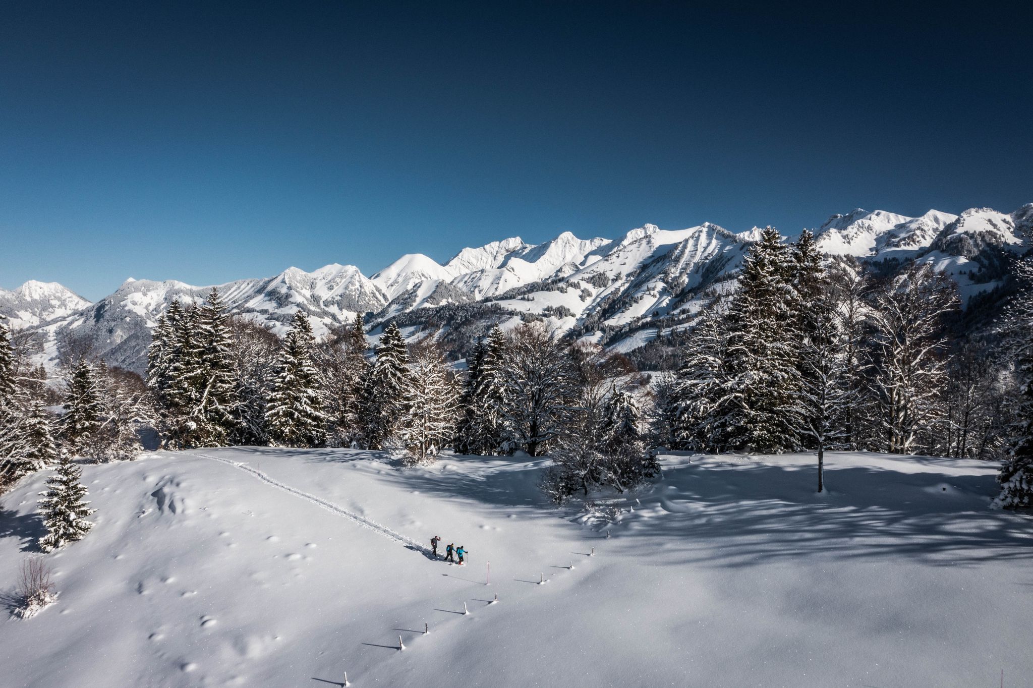
White landscapes – hiking on snowshoes in the Swiss canton of Fribourg
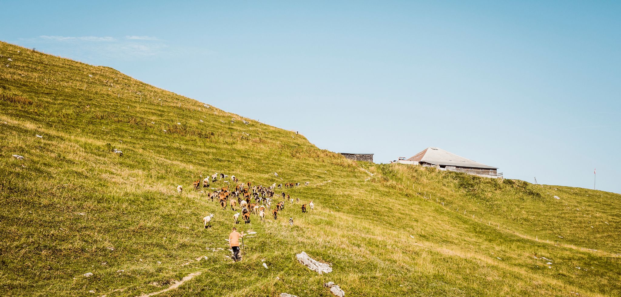
Swiss nature parks — Adrian the Goatherd of Bern
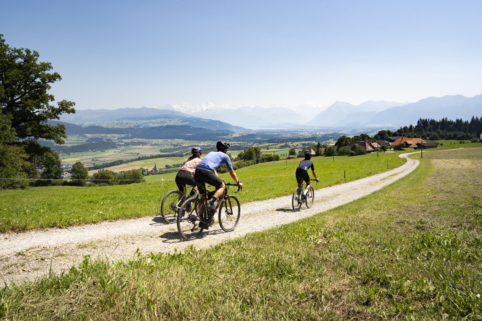
Gravel roads and Alpine views – gravel riding in the Gantrisch Nature Park
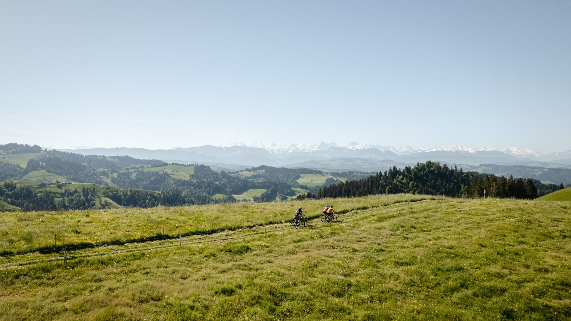
Gravel-Touren mitten in der Schweiz – die aussichtsreichsten Routen in Bern
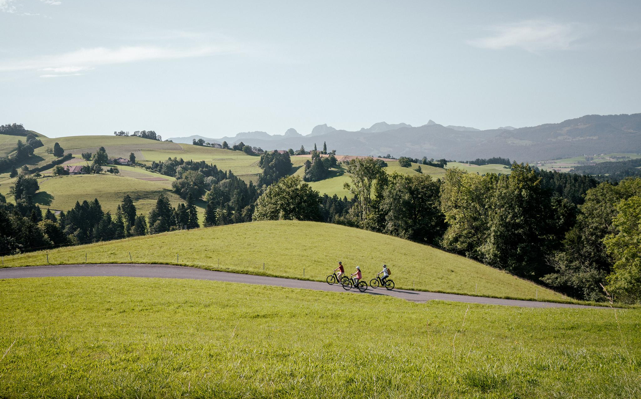
E-Biking in the Heart of Switzerland – the Top 10 Routes in Bern
Other adventures around Naturpark Gantrisch


Tips from the Community

A practical tip for everyone who is out and about around Schwarzsee: Fäschtus' Biohüttli is a small self-service farm shop with organic/Demeter quality products. The shop is open around the clock every day, so you can also stop by outside of normal opening hours. The range is seasonal and includes, among other things, vegetables, potatoes, eggs, homemade pasta, flour, fruit, bread, and other products directly from the organic farm. On Fridays, Saturdays, and Sundays, there are also fresh plaited loaves.
0
0
A beautiful spot on the Schwarzsee circular trail is the observation tower in the Pürrena area. The tower is not particularly high and is easily accessible via a short staircase. At the top, there is a beautiful view over the Schwarzsee and the surrounding mountain landscape. Especially because on the circular trail, due to the reeds, you don't have a direct view of the lake everywhere, the short detour is particularly worthwhile.
0
0
A beautiful way to combine the Schwarzsee circular trail with Kneipp therapy. The approximately 4 km long route features seven different Kneipp experiences – including water treading, an arm bath, a barefoot path, a knee shower, and several stations for water treading in streams and the lake. Particularly nice: The Kneipp stations are located in the middle of nature and make the circular trail more varied. On warm days, the cold water provides a welcome refreshment. The Kneipp trail is free, very easy, and also suitable for families. You should plan about 2 hours for the complete round with all stations. Shoes and a small towel for your feet are recommended.
0
0

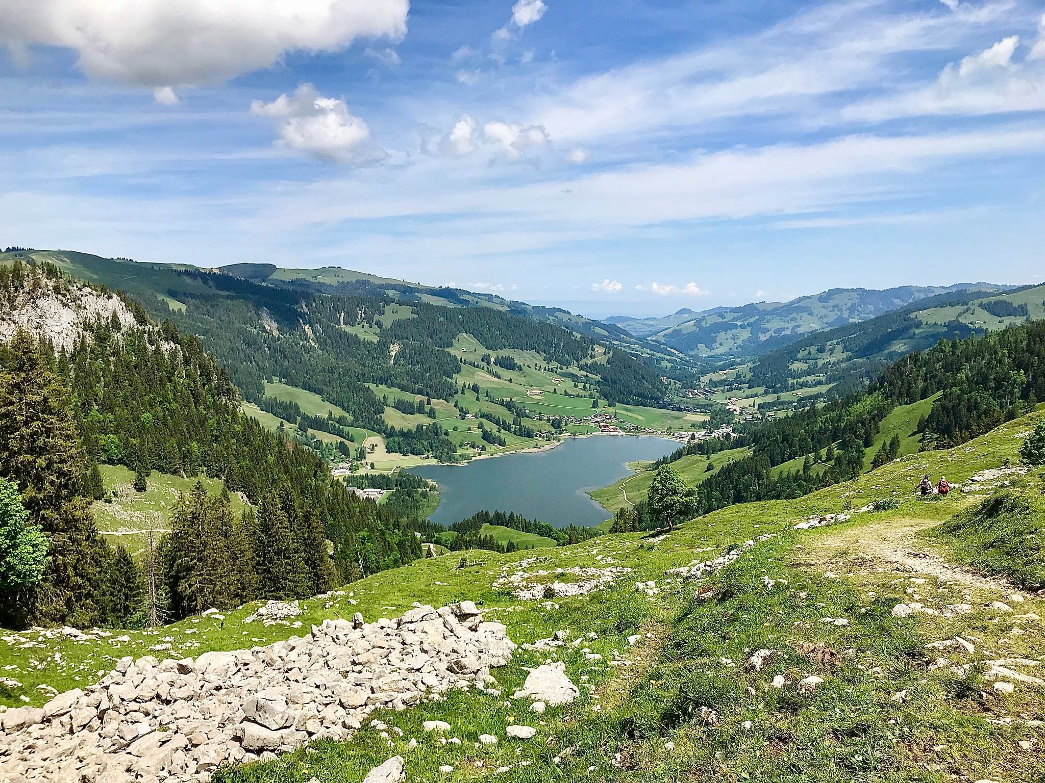
The Schwarzsee, also known as Lac Noir, is idyllically situated in the canton of Fribourg (Sense district) and is part of the Gantrisch Nature Park. With its deep, dark water and surrounding peaks such as Kaiseregg (2185 m), Schafberg, and Spitzfluh, the lake offers a fascinating panorama. 🌅 Highlights & Activities Surroundings & Nature: The moorland and alpine pastures surrounding the lake are rich in species – with cotton grass, reeds, coots, and dragonflies – ideal for walks and nature observation. Leisure & Recreation: The Schwarzsee is ideal for hiking, swimming, paddling (SUP), or simply lounging on the shore. Accessible for hikes or conveniently by chairlift to Riggisalp – with alpine huts and restaurants. Legends & Experiences: Themed trails with legends from the Sense region, mystical landscapes in the Breccaschlund valley, and spectacular ice palaces in winter attract visitors year-round.
0
0

great view over the entire Schwarzsee
0
0

A beautiful viewpoint that you have to earn (steep stairs to the viewpoint). It's quite busy on weekends when the weather is nice.
0
0

Great alpine snack bar for a little break. Great view of the Black Lake. Friendly welcome and excellent food!
0
0

Frequently Asked Questions
How many hiking trails are available in Naturpark Gantrisch?
Naturpark Gantrisch offers a vast network of trails, with over 630 hiking routes recorded on komoot. These range from leisurely strolls to more challenging mountain excursions, catering to all experience levels.
What kind of terrain and landscapes can I expect while hiking in Naturpark Gantrisch?
The park boasts incredibly diverse landscapes, from the Bernese Pre-Alps and the Stockhorn chain to extensive forests and significant wetlands. You'll find trails around the idyllic Schwarzsee, through deep canyons carved by the Schwarzwasser river, and across the unique, glacier-shaped primeval landscape of Brecca. Elevations vary significantly, from 510 meters to 2239 meters at Schafberg, offering varied views and challenges.
Are there any easy, family-friendly hiking options in Naturpark Gantrisch?
Yes, Naturpark Gantrisch has many easy and family-friendly options. For example, the Schwarzsee Lake Circuit is an easy 2.5-mile (4.1 km) path that circles the lake, passing through moorland and alpine pastures. The region also features themed trails like the 'Wind, Wald und Wurzeln' trail (incorporating the Gäggersteg) and the 'Häxewääg Schwarzsee' (Witch's Trail) which are designed to engage families with interactive elements and stories.
What are some challenging hikes in Naturpark Gantrisch?
For those seeking a challenge, the park offers routes that traverse mountain passes like the Leiterenpass and Morgetenpass, often nearing the 2,175 m high Gantrisch peak. The Patraflon by the two valleys — loop from Schwarzsee is a moderate 10.6 km route with significant elevation gain, providing a good workout and rewarding views.
Are there any circular walks available in Naturpark Gantrisch?
Yes, many trails in Naturpark Gantrisch are designed as circular walks. The Lac Noir — loop from Schwarzsee is a popular easy circular route, offering beautiful views of the lake. Another option is the Around Guggershorn Trail, a moderate 5.4 km loop that takes you around the Guggershorn, a popular vantage point.
What natural features and viewpoints can I discover while hiking?
Hikers can enjoy magnificent panoramic views of the Bernese Pre-Alps, the Stockhorn chain, and the Napf region. Notable natural features include the idyllic Schwarzsee, the deep canyons of the Schwarzwasser river, and the primeval, glacier-shaped landscape of Brecca. The Guggershorn (1283 m) is a popular vantage point, and the Gäggersteg wooden footbridge offers a unique perspective through a forest reserve.
Are there any historical or cultural attractions along the hiking trails?
Beyond natural beauty, the park is rich in cultural treasures. You can discover castles like the Grasburg Castle Ruins and Schwarzenburg Castle, traditional farmhouses, and sites reflecting an old bathing culture in the Gurnigel area. A section of the Jakobsweg (Way of St. James), including the Rüeggisberg monastery, also passes through the park.
What do other hikers enjoy most about Naturpark Gantrisch?
The area is highly rated by the komoot community, with an average score of 4.6 stars from over 3,100 reviews. Hikers often praise the diverse landscapes, from serene lakeside walks to challenging mountain trails, and the stunning panoramic views. The well-maintained paths and the variety of experiences for all skill levels are frequently highlighted.
Is Naturpark Gantrisch suitable for dog-friendly hiking?
Naturpark Gantrisch generally welcomes dogs on its trails, making it a great destination for hiking with your canine companion. It's always recommended to keep dogs on a leash, especially in nature protection areas, near livestock, or in crowded sections, and to check local signage for any specific restrictions.
What is the best time of year to visit Naturpark Gantrisch for hiking?
The best time for hiking in Naturpark Gantrisch is typically from spring to autumn, when trails are clear of snow and the weather is mild. Summer offers lush greenery and warmer temperatures, while autumn provides stunning fall foliage. The park is also known for its clear starry nights, earning it the 'Dark Sky Park' label, making it an excellent spot for nocturnal observation after a day hike.
How long do hikes in Naturpark Gantrisch typically take?
Hike durations vary widely depending on the trail's length and difficulty. Easy loops around Schwarzsee, like the Lac Noir — loop from Schwarzsee, can be completed in just over an hour. Longer, more challenging routes such as the Breccaschlund Panorama Trail, which is 14.4 km, may take around 4 to 5 hours.
Are there opportunities for public transport to reach hiking trails in Naturpark Gantrisch?
Yes, Naturpark Gantrisch is accessible by public transport, with various bus routes serving different parts of the park. It's advisable to check the local public transport schedules in advance to plan your journey to specific trailheads, as services may vary by season and day of the week.
Most popular routes around Naturpark Gantrisch
Most popular attractions around Naturpark Gantrisch

Get inspired with the komoot mobile app


Explore more
Browse the best Hikes in other regions.
