The best road cycling routes around Abrucena
5.0
(1)
165
riders
11
rides
Road cycling routes around Abrucena are situated on the northern slopes of the Sierra Nevada Natural Park, offering diverse and challenging landscapes. The region is characterized by well-maintained, quiet roads with significant elevation gains, featuring both undulating sections and steep, switchbacking climbs. Cyclists can expect high-mountain landscapes, crystal-clear streams, and a mix of forested areas and open terrain.
Best road cycling routes around Abrucena
- The most popular road cycling route is From Hoya de Guadix to Taha de Andarax —…
Last updated: October 1, 2026
24
riders
116km
06:26
2,460m
2,460m
Hard road ride. Very good fitness required. Mostly well-paved surfaces and easy to ride.
5.0
(1)
46
riders
96.5km
05:29
2,260m
2,260m
Hard road ride. Very good fitness required. Mostly well-paved surfaces and easy to ride.

32
riders
99.3km
05:22
1,920m
1,920m
Hard road ride. Very good fitness required. Mostly well-paved surfaces and easy to ride.
9
riders
25.5km
01:11
280m
280m
Easy road ride. Great for any fitness level. Mostly well-paved surfaces and easy to ride.
15
riders
127km
06:55
2,290m
2,290m
Hard road ride. Very good fitness required. Some segments of this route may be unpaved and difficult to ride.
Get access to more routes and recommendations from other explorers.
Already have an account?
Our route recommendations are based on thousands of hikes, rides, and runs completed by other people on komoot.
Start today with a free account
Your next adventure awaits.
Popular around Abrucena
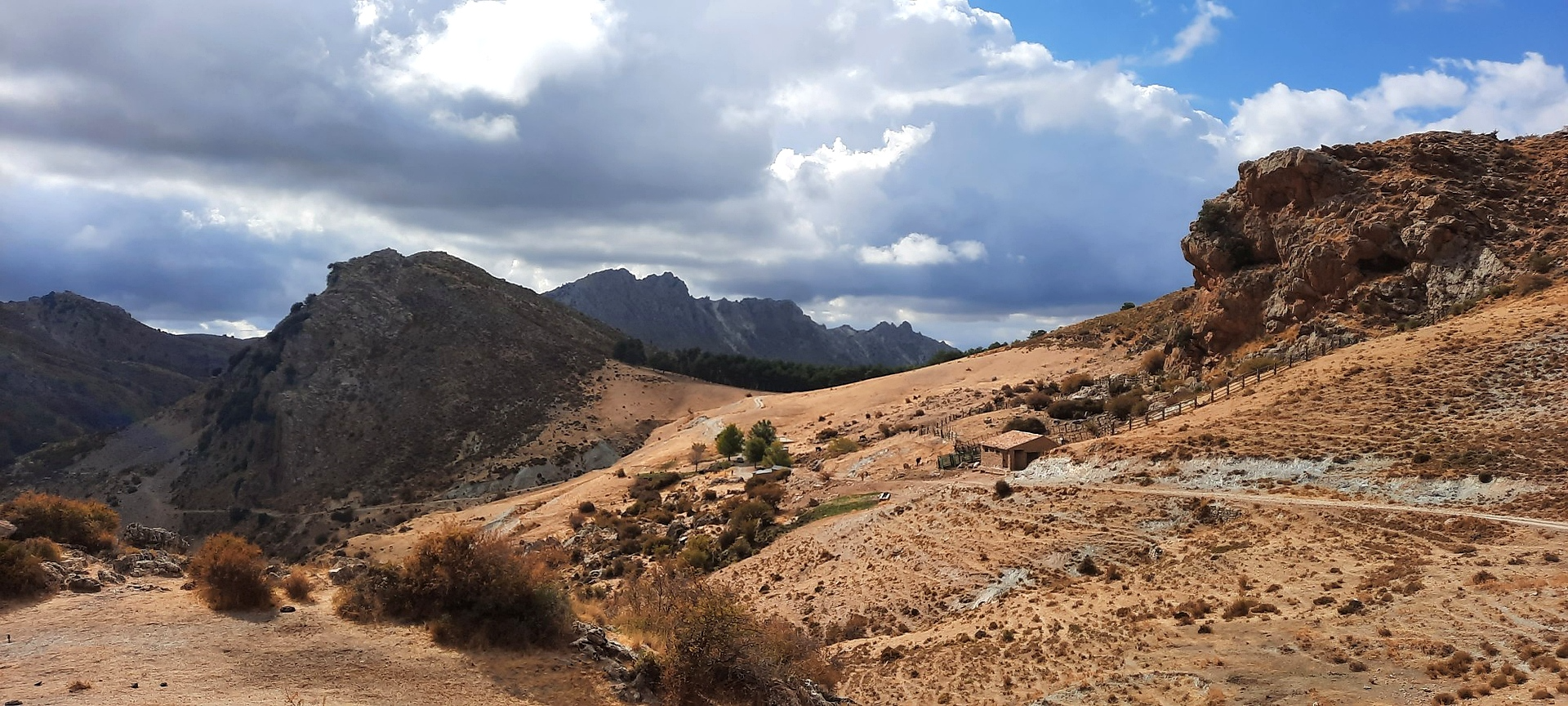
Sulayr Trail (GR 240) — 300 kilometers in the mountain of the sun
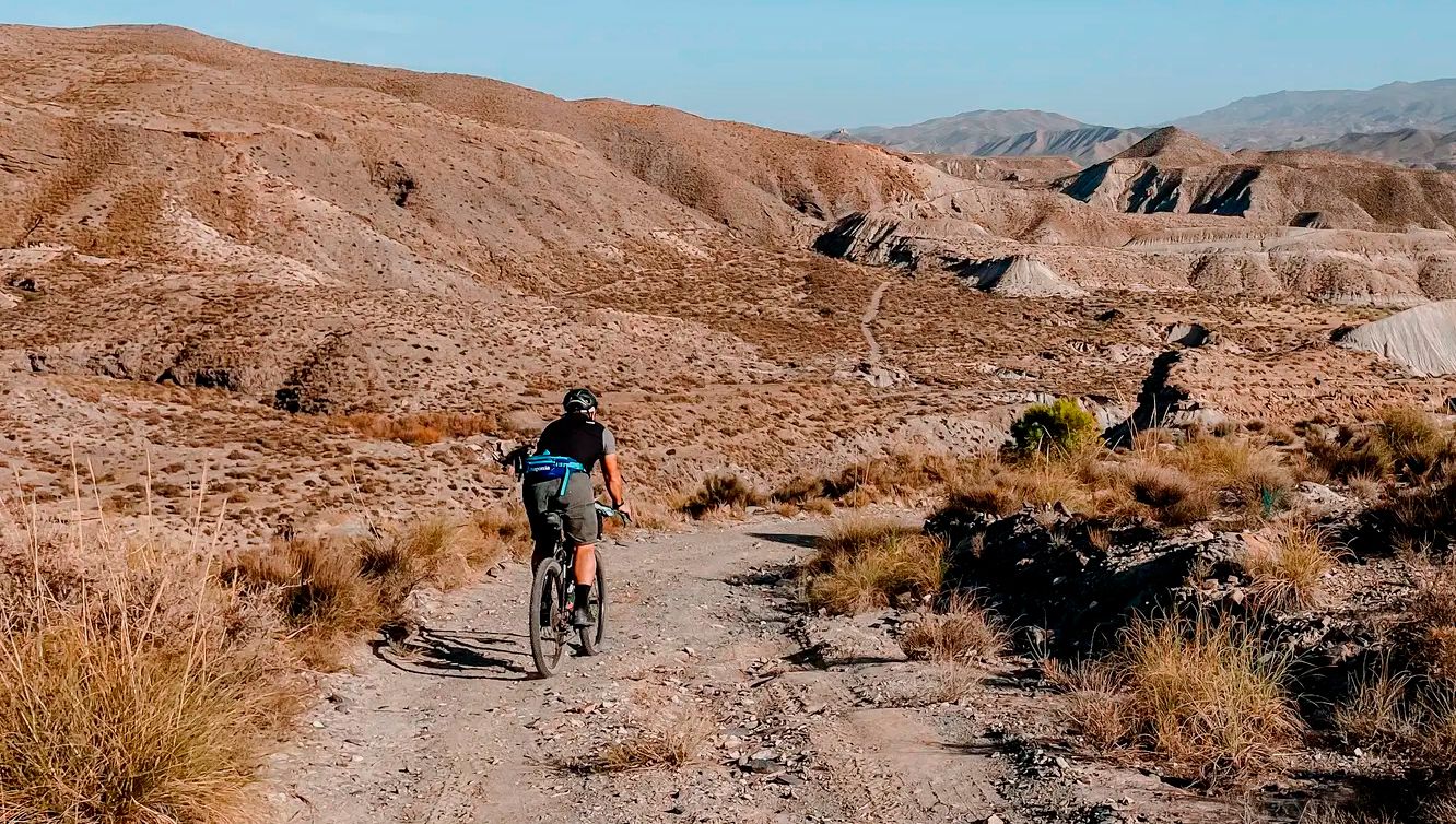
TransAlmería Gravel – Summits, dry riverbeds and deserts
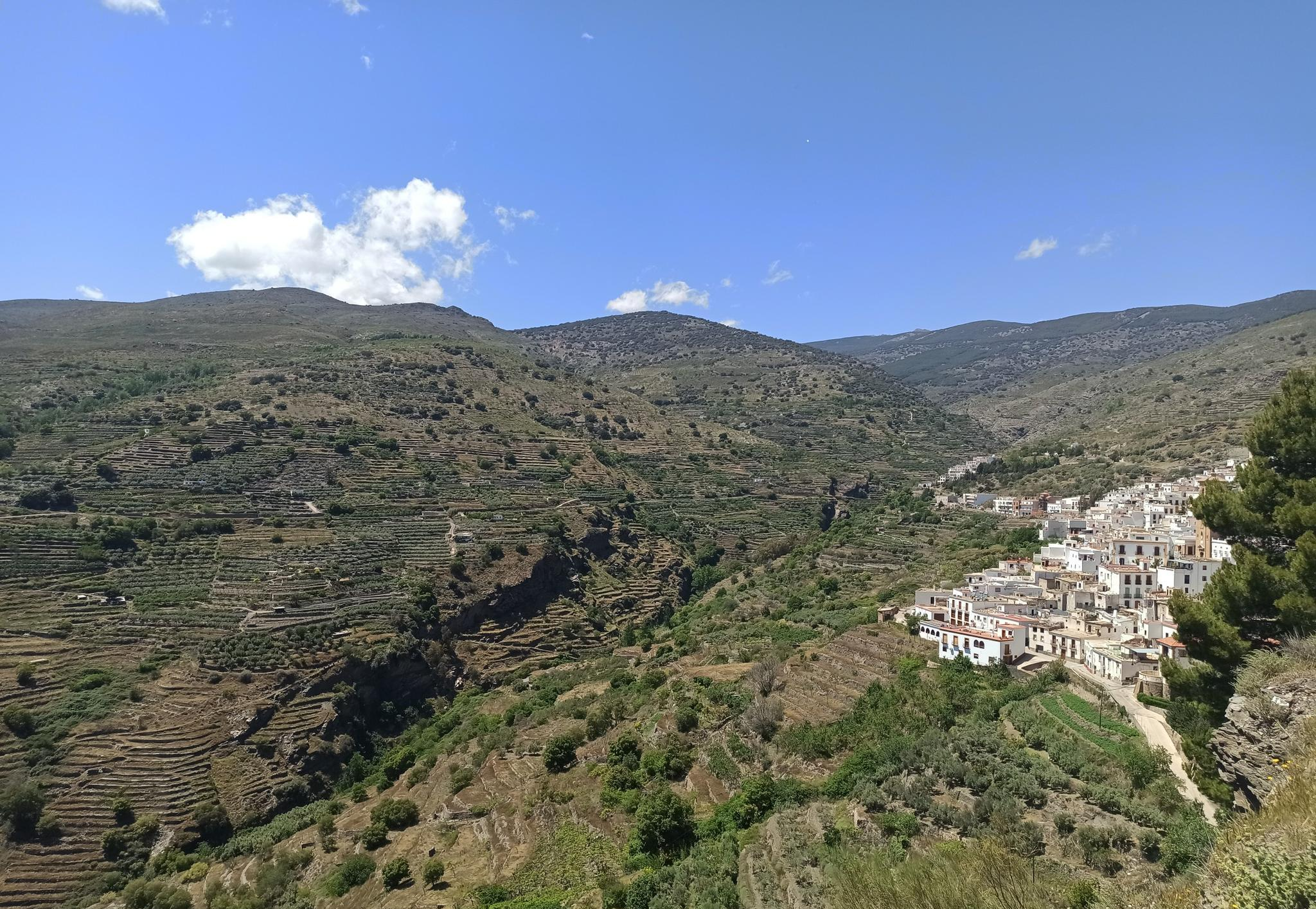
Among white villages - Path of the Alpujarra (GR 142)
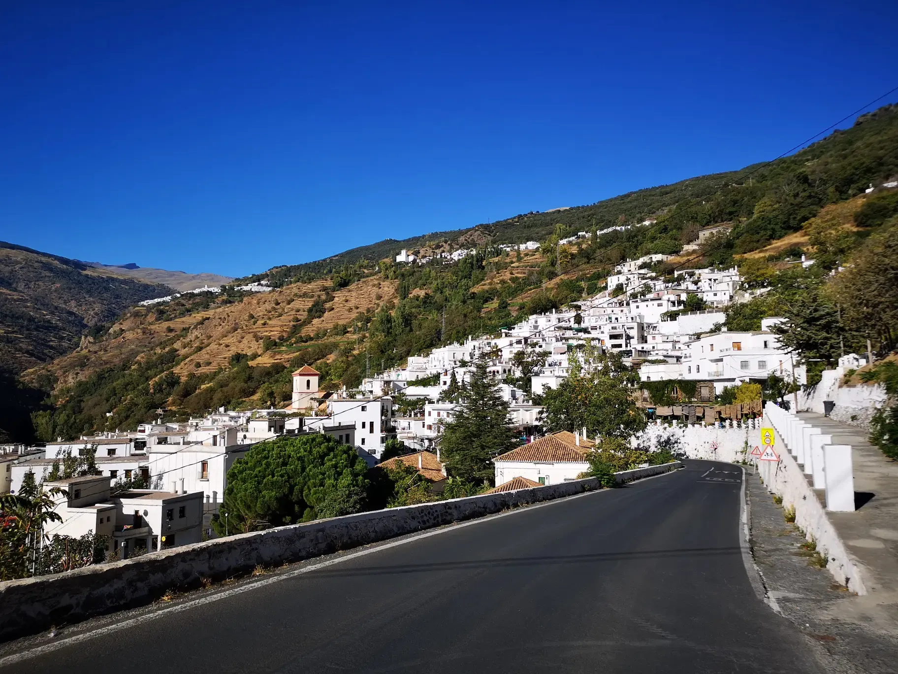
An Andalusian adventure on wheels – Transnevada
Hiking around Abrucena
MTB Trails around Abrucena
Cycling around Abrucena
Running Trails around Abrucena
Other adventures around Abrucena


Tips from the Community

At the foot of the ragua before reaching Laujar, you will find this village with bars, fountains, and a shop to replenish your strength and face the climb. If you dare with the ragua, on my profile you will see a multitude of variants for training in the area with a thousand different routes. It's a paradise, with good roads and little traffic.
1
0

To do series and train both the ascent and the descent
0
0

Íllar is a southern Spanish village and municipality (municipio) in the province of Almería with 460 inhabitants (as of 2024).
0
0
Paterna del Río is a village and municipality in the province of Almería in southern Spain with 396 inhabitants (as of 2024). In addition to the main town of Paterna del Río, the village of Baños de Santiago belongs to the municipality. The ideal rest stop on the Transandalus 🚵
0
0

In the tourist information office there is a beautifully done exhibition about the history of the region (unfortunately I didn't understand the language). Check it out!
0
0

The Puerto de la Ragua marks the border between the provinces of Granada and Almería. The Sierra Nevada stretches on both sides, with the 3000m peaks on the Granada side. The highest mountain in the province of Almería, El Chullo, is, however, easily accessible from the Puerto de la Ragua. The Puerto de la Ragua is just over 2000m.
0
0

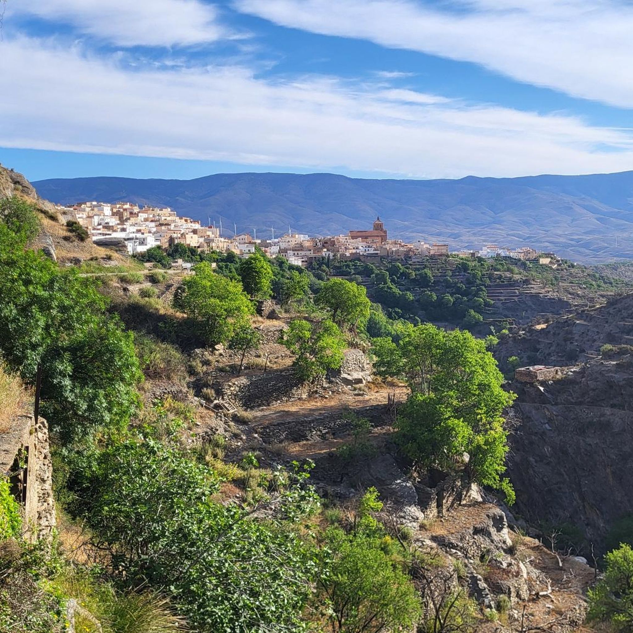
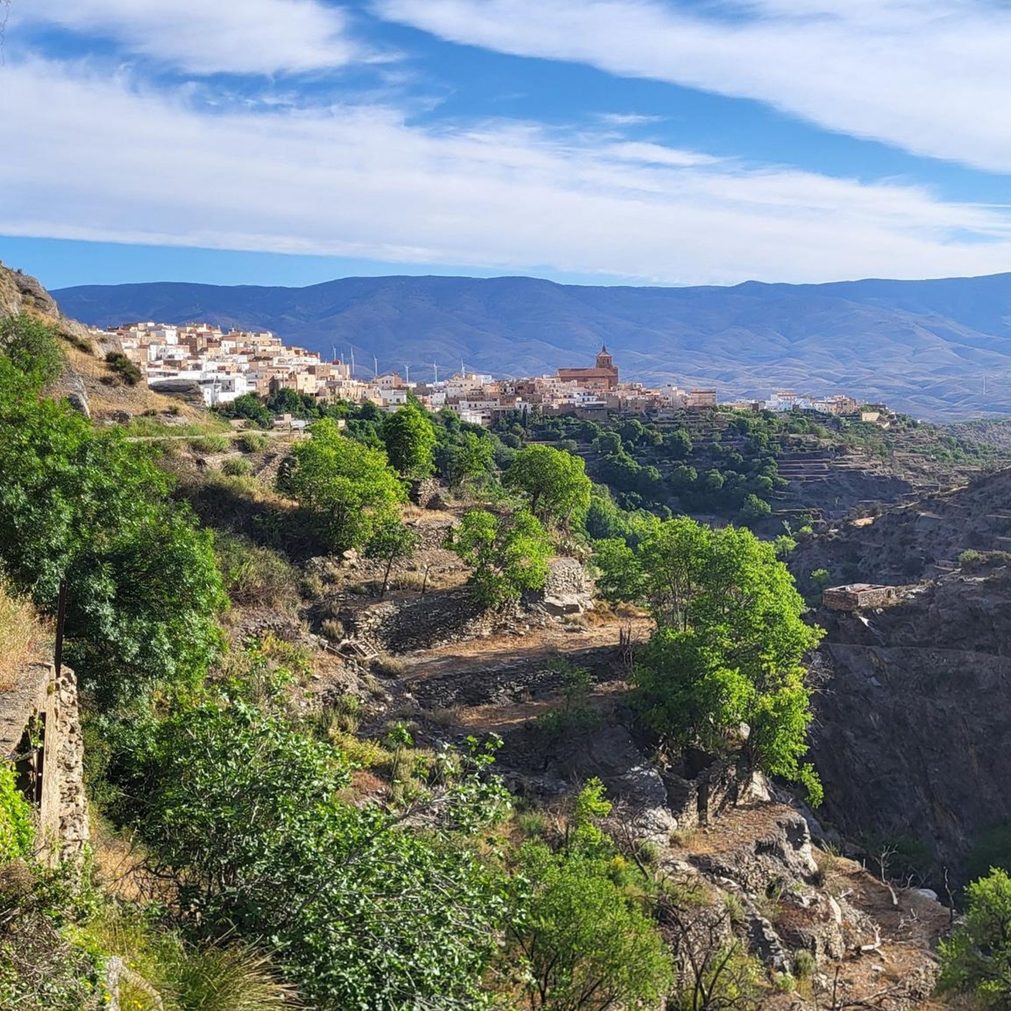
The village with about 700 inhabitants is situated on the river, in a beautiful place surrounded by large rocks and hills that, together with the white houses of Arab origin in terraces and the orchards, form a beautiful sight. The parish church is worth mentioning.
0
0

Frequently Asked Questions
How many road cycling routes are available around Abrucena?
There are over 10 road cycling routes documented around Abrucena on komoot, offering a range of experiences from easy to difficult. The region is known for its diverse and challenging landscapes within the Sierra Nevada Natural Park.
What is the best time of year for road cycling in Abrucena?
The region around Abrucena benefits from a mild climate year-round, making it appealing for cycling training, especially during the winter months when many other areas are less suitable. However, the high-mountain landscapes mean that spring and autumn offer particularly pleasant conditions for exploring.
Are there any easy road cycling routes for beginners in Abrucena?
Yes, while many routes are challenging, there are options for beginners. For example, the Road to Huéneja Station loop from Huéneja is an easy 25.4 km route with a modest elevation gain, suitable for those new to road cycling in the area.
What kind of terrain and elevation can I expect on road cycling routes near Abrucena?
Road cycling around Abrucena is characterized by high-mountain landscapes, forested areas, and significant elevation gains. You can expect well-maintained, quiet roads with both undulating sections and steep, switchbacking climbs, typical of the Sierra Nevada. Some routes feature over 2,000 meters of elevation gain over 100 km.
Are there any circular road cycling routes in the Abrucena area?
Yes, many routes are designed as loops. A notable example is the Venta Luisa Pass loop from Abla y Abrucena, a challenging 100.2 km route that takes you through mountainous terrain with substantial climbing.
What natural features or landmarks can I see along the road cycling routes?
The routes often pass through the stunning Sierra Nevada Natural Park, offering views of impressive summits like Cerro del Rayo and Buitre peak. You might also encounter crystal-clear streams and forested areas. Specific natural highlights include the Abrucena Holm Oak Forest and the Small Waterfall of the Andarax River.
Are there any challenging road cycling routes for experienced cyclists?
Abrucena is a prime destination for experienced cyclists seeking a challenge. Routes like From Hoya de Guadix to Taha de Andarax — return through the Sierra Nevada Natural Park, a 115.7 km difficult trail with over 2,400 meters of climbing, offer substantial tests of endurance and skill.
What do other road cyclists enjoy most about cycling in Abrucena?
The road cycling routes around Abrucena are highly rated by the komoot community, with an average score of 5.0 stars. Cyclists often praise the well-maintained, quiet roads, the breathtaking views of the Sierra Nevada, and the rewarding challenges presented by the significant elevation gains.
Are there any specific passes or major climbs on the routes?
Yes, the region is known for its significant climbs. The Láujar de Andarax – La Ragua Pass loop from Beires, for instance, includes the ascent to La Ragua Pass, providing panoramic views of the surrounding mountain ranges and a substantial climbing challenge.
Are there any places to stop for refreshments or accommodation along the routes?
While specific cafes or accommodations directly on every route are not detailed, Abrucena and nearby villages like Abla and Almócita offer amenities. The La Roza Recreational Area, just 8 km from Abrucena, is a popular spot with picnic tables and facilities, ideal for a break.
Can I find routes that pass through local villages or settlements?
Many routes will take you through or near charming local settlements. For example, the village of Almócita and Abla Village are notable points of interest that some routes may pass by or near, offering a glimpse into the local culture.
Is there public transport available to Abrucena for cyclists with bikes?
While Abrucena is nestled in the Sierra Nevada, specific public transport options for cyclists with bikes are not extensively detailed. It's advisable to check local bus services or consider private transport options that can accommodate bicycles when planning your trip to the region.
Most popular attractions around Abrucena

Get inspired with the komoot mobile app


Explore more
Browse the best Road cycling routes in other regions.
