The best walks and hikes around Artesa De Segre
4.6
(92)
544
hikers
43
hikes
Hiking around Artesa De Segre offers diverse landscapes shaped by the Segre River Valley, featuring lush riverside vegetation and fertile lands. The region includes extensive olive and almond groves, deep forests, and garrigues, providing varied flora. Geological formations such as karst phenomena are present, alongside mountain peaks and canyons that offer challenging terrain and expansive views.
Best hiking trails around Artesa De Segre
- The most popular hiking route is Land Art Trail of Foradada and Montsonís, a 5.4 miles…
Last updated: May 12, 2026
4.6
(7)
23
hikers
8.72km
02:36
260m
280m
Hike the 5.4-mile Land Art of Foradada and Montsonis Circular Route, a moderate trail featuring unique outdoor sculptures and scenic viewpoi
5.0
(4)
14
hikers
13.8km
04:06
370m
370m
Moderate hike. Good fitness required. Mostly accessible paths. Sure-footedness required.

Sign up for free
1
hikers
13.9km
04:29
590m
590m
Hike the moderate 8.6-mile El Cogulló and Congosto de Vilanova de Meià circular trail, featuring panoramic views and dramatic gorges.
1
hikers
15.7km
04:36
420m
420m
Moderate hike. Good fitness required. Easily-accessible paths. Suitable for all skill levels.
5.0
(1)
10
hikers
3.51km
01:10
170m
170m
Easy hike. Great for any fitness level. Easily-accessible paths. Suitable for all skill levels.
Get access to more routes and recommendations from other explorers.
Sign up for free
Already have an account?
Our route recommendations are based on thousands of hikes, rides, and runs completed by other people on komoot.
Start today with a free account
Your next adventure awaits.
Login or Signup

Tips from the Community

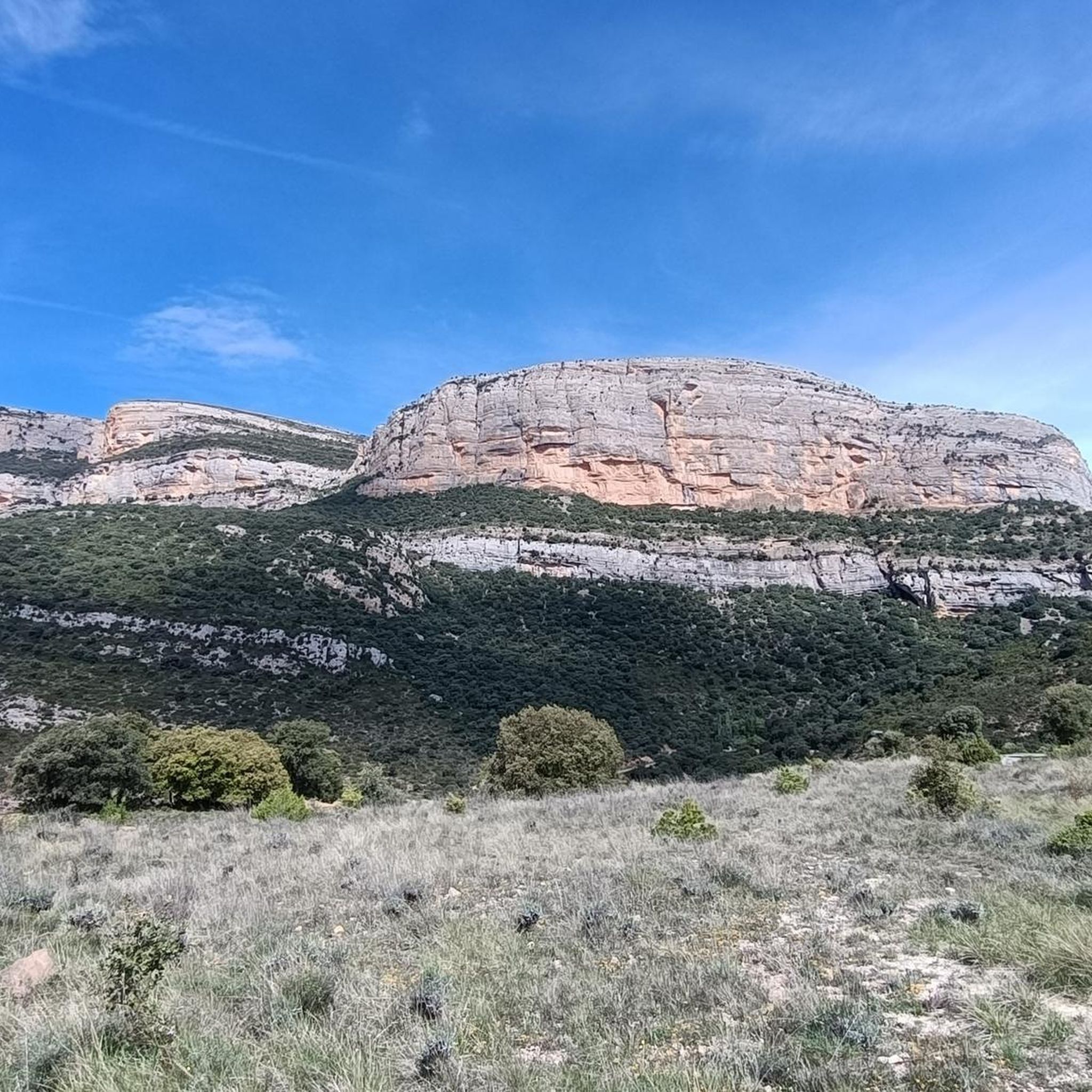
Next to the Coll d'Ares, it is the most iconic port in the Montsec mountain range and the Lleida Pre-Pyrenees. The views from above, either towards the Pyrenees and the Isona and Tremp valley, as well as the Plana de Lleida, are magnificent. It is a port with 4 aspects, each one different: - The southern slope, which begins in Artesa de Segre, is almost 24 km long and runs along a road with a lot of traffic, very wide and with long straights. After passing the town of Folquer, you face the hardest section of the climb, now with continuous curves and horseshoes, although with a road that is still very wide. The best are the views of the Lleida plain. It is not a side that I like since it is very stinky. - The southeast slope, the one that begins in Pons, is longer than the previous one, with 29 km. It has 2 rest sections, with some descent, and the road is narrow and twisty. There are good views along the climb. This slope joins the southern slope that comes from Artesa de Segre at the height of Folquer, where the hardest 7 km remain until reaching the top of the pass. - The main northern slope begins in Tremp and is 28.2 km. It is similar to the Artesa de Segre slope, with a similar gradient and a wide, busy road with a progressive slope, although it is true that there are no kilometers that reach 7%. I don't like. - The northwest slope, which also begins in Tremp, takes the old road that goes up through the town of Sant Salvador de Toló. It is a climb without traffic, on an irregular asphalt road, one of the old ones, which is grippy and difficult to roll, but in good condition. If you plan to go up to Comiols on the northern slope, you have to do it here and forget about the slope that runs along the main road.
0
0

Small town located below the Coll de Comiols and at the foot of the Roc de Benavent, a stone structure that can be reached on foot from the town itself.
0
0
There is a viewpoint that is located at the edge of the cliff and that provides a space of tranquility enjoying one of the best views in the area.
0
0
La Roca Roja is a mountain of 1,239 meters that is located just above the town of Benavent de la Conca and that gives impressive views of the Conca de Tremp
1
0
Mythical mountain that is at the top of Vilanova de Meià and that offers impressive views of the area. In addition, close to the top, there is a cave that has the same name as the top of the mountain.
0
0
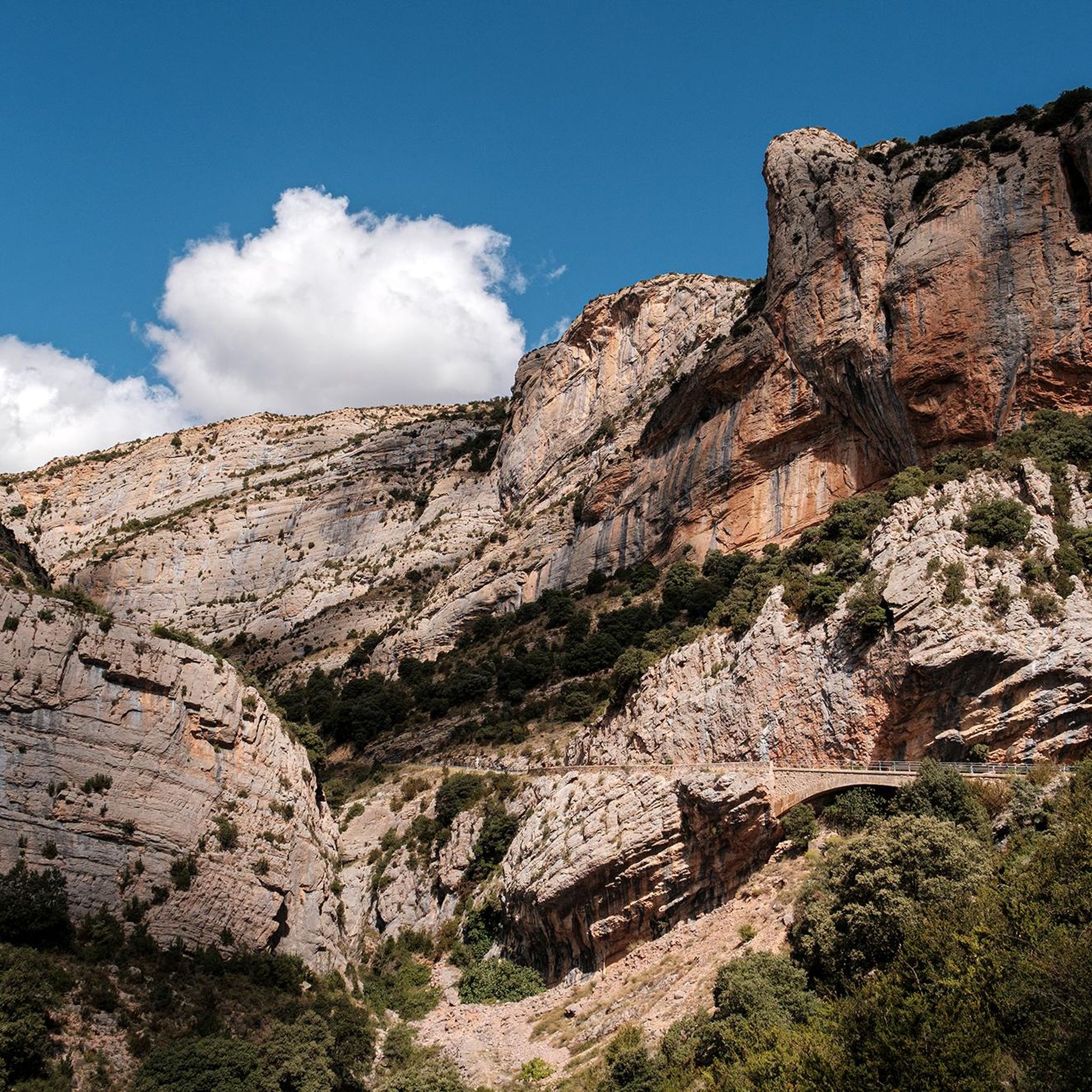
The gorge created by the Riu Boix by its passage through these rocks has formed a structure where the road climbs immense stone walls. The path is surrounded by walls where the only option is to climb up!
0
0
In the middle of Montsec de Rúbies and on the south side of what is called Roca dels Arcs there is this beautiful track that runs over the set of these rocks with the Riu Boix in the background.
0
0

The Coll de Comiols is a hill located at 1101 meters high. It acts as the border of several municipalities in the Pallars Jussà region. It offers magnificent views of the surrounding mountains and the Cuenca de Tremp.
0
0
Frequently Asked Questions
How many hiking trails are available in Artesa de Segre?
Artesa de Segre offers a wide variety of hiking opportunities, with over 40 trails available for exploration. These routes cater to different preferences, ranging from easy strolls to more challenging mountain paths.
What kind of landscapes can I expect to see while hiking in Artesa de Segre?
The landscapes around Artesa de Segre are incredibly diverse. You'll find lush riverside vegetation along the Segre River Valley, extensive olive and almond groves that are particularly beautiful during their blooming seasons (February to April for almond trees), deep forests, and garrigues. The region also features unique geological formations, including karst phenomena like the Cova del Tabac, and offers expansive views from its surrounding mountain peaks and canyons.
Are there hiking trails suitable for families with children in Artesa de Segre?
Yes, Artesa de Segre has several family-friendly options. There are 9 easy trails that are generally suitable for families. A good example is the Land Art Sculptures – Summit of Montsonís loop from Foradada, which is an easy 3.5 km route with moderate elevation, offering an engaging experience for all ages.
Can I bring my dog on the hiking trails in Artesa de Segre?
Most trails in Artesa de Segre are generally dog-friendly, allowing you to enjoy the natural beauty with your canine companion. However, it's always recommended to keep your dog on a leash, especially in areas with livestock or protected wildlife, and to carry water for both yourself and your pet.
Are there any circular hiking routes in Artesa de Segre?
Yes, many of the trails in Artesa de Segre are designed as circular routes, allowing you to start and end at the same point. For instance, the The hill of Grialo from Artesa de Segre — Circular Route is a moderate 15.7 km loop that offers varied terrain and scenic views.
What are some notable landmarks or natural features to explore on hikes in Artesa de Segre?
The region is rich in both natural and historical landmarks. You can explore the monumental Cova del Tabac, a cave with ancient cave paintings, or visit the Pilar de Almenara Tower, an 11th-century defense tower offering panoramic views. Nearby, you can also find the ruins of the Romanesque hermitage of Sant Vicenç. For those interested in historical architecture, several castles like Montsonís Castle are also within reach.
What is the best time of year to go hiking in Artesa de Segre?
The spring (February to April) is particularly picturesque when the almond trees are in bloom, and the autumn (October and November) offers pleasant temperatures and the olive harvest season. Summers can be warm, making early mornings or late afternoons ideal for hiking, while winters are generally mild, allowing for year-round outdoor activity.
Are there any challenging hikes for experienced trekkers in Artesa de Segre?
Yes, for experienced hikers seeking a challenge, Artesa de Segre offers 9 difficult trails. These routes often involve significant elevation gains and traverse more rugged mountain terrain, providing expansive views and a rewarding experience.
What do other hikers say about the trails in Artesa de Segre?
The hiking trails in Artesa de Segre are highly rated by the komoot community, with an average score of 4.6 stars from over 80 reviews. Hikers often praise the diverse landscapes, the well-maintained paths, and the unique cultural and natural points of interest found along the routes.
Are there any routes that combine art and nature in Artesa de Segre?
Yes, the region offers unique routes that blend natural beauty with artistic installations. The Land Art Trail of Foradada and Montsonís is a popular moderate 8.7 km trail that showcases distinctive land art installations amidst the natural landscape, providing a culturally enriching hiking experience.
Are there any routes with significant elevation for panoramic views?
Absolutely. For those seeking panoramic vistas, routes like Collado de Comiols y Roc de Benavent — circular por Roca Roja offer substantial elevation gain (around 370 meters) and lead through distinctive rock formations, providing breathtaking views of the surrounding area.
Can I find routes that explore gorges or river valleys?
Yes, the Segre River profoundly shapes the region, and you can find trails that follow its course or explore nearby geological features. The El Cogulló and Vilanova de Meià Gorge Loop is an excellent example, taking you through the impressive Vilanova de Meià Gorge.
Most popular routes around Artesa De Segre
Most popular attractions around Artesa De Segre

Get inspired with the komoot mobile app


Explore more
Browse the best Hikes in other regions.
