The best road cycling routes around El Pont De Bar
4.5
(78)
5,944
riders
23
rides
Road cycling routes around El Pont De Bar are situated in the eastern Alt Urgell region of the Catalan Pyrenees, offering diverse terrain for cyclists. The area features a magnificent mountain landscape with winding roads, peaks, and forests, traversed by the Segre River. Topography becomes more rugged away from the river, providing varied challenges. This region is known for its extensive network of roads suitable for road cycling.
Best road cycling routes around El Pont De Bar
- The most popular…
Last updated: October 13, 2026
5.0
(1)
163
riders
81.4km
03:55
1,120m
1,120m
Hard road ride. Very good fitness required. Mostly well-paved surfaces and easy to ride.
63
riders
98.8km
05:05
1,660m
1,660m
Hard road ride. Very good fitness required. Mostly well-paved surfaces and easy to ride.

4.5
(2)
26
riders
40.4km
02:08
670m
670m
Moderate road ride. Good fitness required. Mostly well-paved surfaces and easy to ride.
26
riders
46.5km
02:49
1,050m
1,050m
Hard road ride. Very good fitness required. Mostly well-paved surfaces and easy to ride.
5.0
(1)
15
riders
33.8km
01:35
370m
370m
Moderate road ride. Good fitness required. Some segments of this route may be unpaved and difficult to ride.
Get access to more routes and recommendations from other explorers.
Already have an account?
Our route recommendations are based on thousands of hikes, rides, and runs completed by other people on komoot.
Start today with a free account
Your next adventure awaits.


Tips from the Community

Bugaedria d'autoservei, molt pràctica i bon preus. Bona ubicació per travesses al llarg del Pirineu
0
0

Aransa is a small town in the municipality of Lles de Cerdanya, located at an altitude of about 1,550 meters at the foot of the Cadí massif. Known for its natural environment and Nordic ski slopes, the town maintains its mountain architecture with stone houses and open views over the valley. It is a point of passage for hiking, mountain biking and e-bike routes, with paths that connect to the Fornell refuge, the Pera lakes or the Trava pass. The accesses have unevenness and sections of forest track, but are cycleable with adequate preparation. Good place to take a break, fill up with water and enjoy the Pyrenean landscape before continuing the route.
0
0


Regular asphalt if it's downhill Bones vistas
0
0

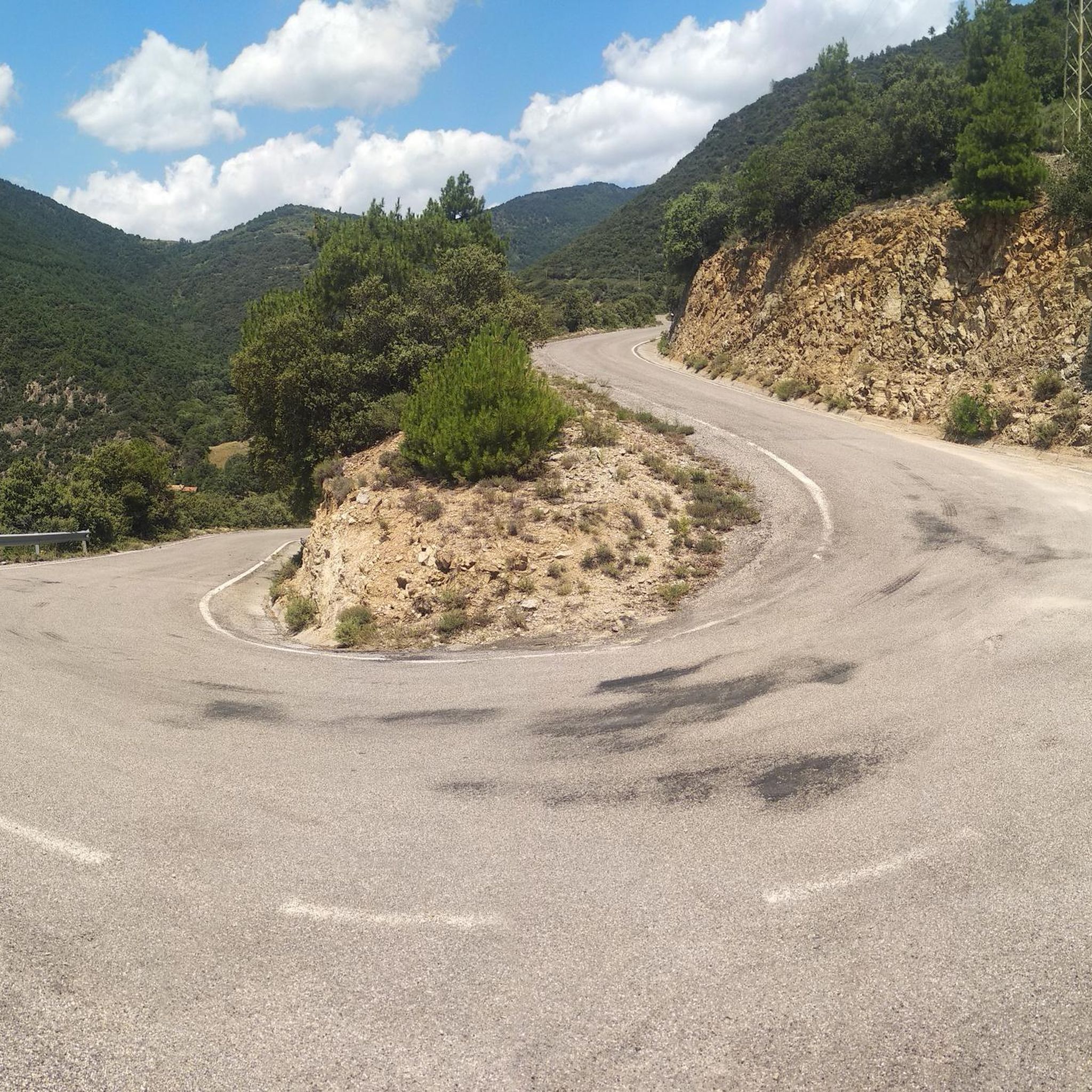
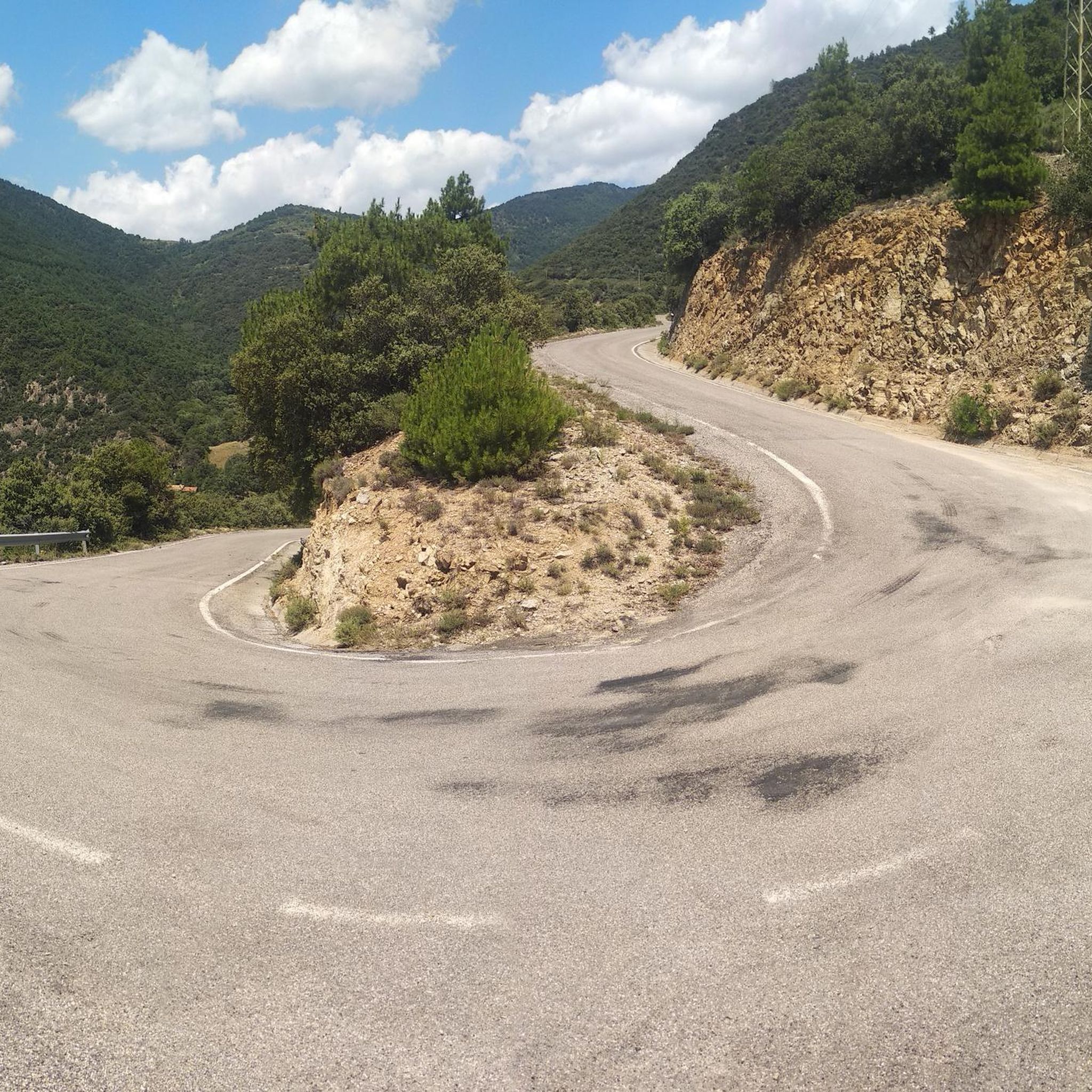
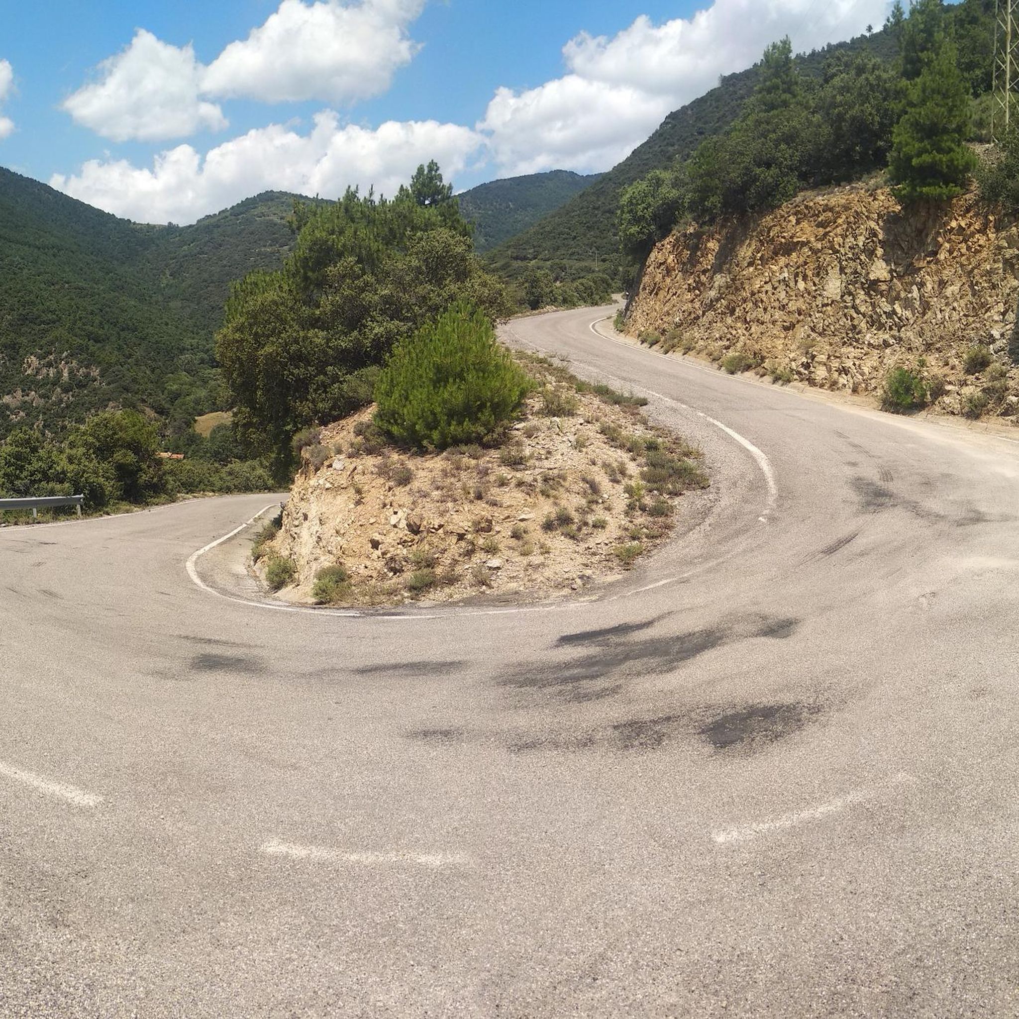
This is an old road leading up to the Puigmal ski resort from the village of Err. For many years, this road was abandoned until it was resurfaced in 2023. The result is a narrow, perfectly maintained road that takes us from Err to the Cotzé area, where the first remotes of the old ski resort are located, and where it connects with the main climb from St. Leocadie. This section is approximately 5 km at 8.5% uneven terrain, combining steep slopes with rest areas. It traces three beautiful hairpin bends, one of which offers wonderful panoramic views of the French Cerdanya.
0
0

This small, high-altitude village, truly charming with its little squares, is located in the autonomous community of Catalonia, province of Lleida, in the comarca of Baja Cerdanya.
0
0

Small interior square, A place for social gatherings, etc.
1
0

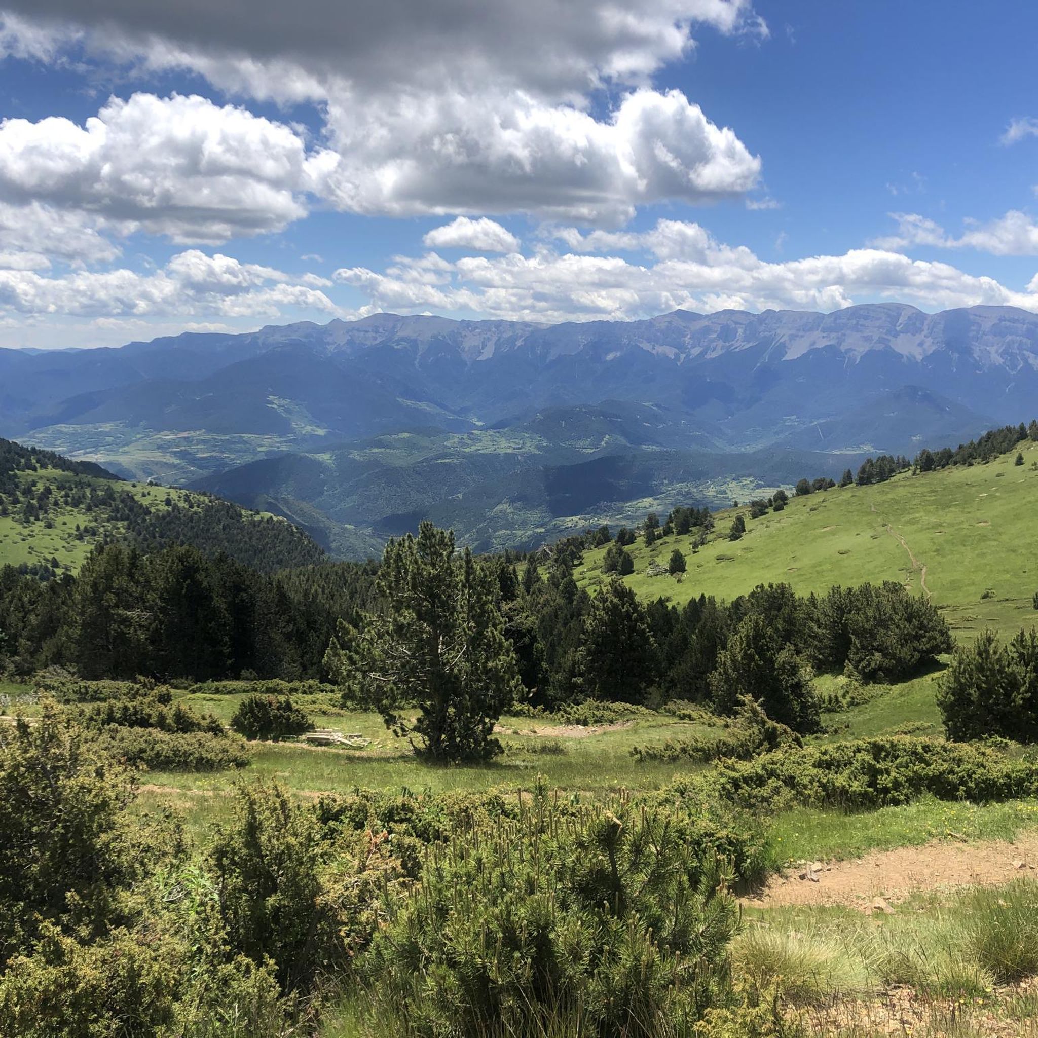
Second port of the 4cims. Long but very laid out. It is worth enjoying its views without putting down the big plate at many times. :)
0
0
Frequently Asked Questions
What kind of terrain and elevation can I expect on road cycling routes around El Pont de Bar?
The region offers a diverse range of terrain, from winding roads through magnificent mountain landscapes to areas along the Segre River. You'll find routes with significant elevation gains, such as the Bellver de Cerdanya – Collada de Toses Pass loop from Prullans which climbs over 1,500 meters, and others with high-elevation cycling like the Bellver de Cerdanya – Estació Puigmal | Cotzé 1830m loop from Martinet. The topography becomes more rugged further from the river, providing varied challenges for all fitness levels.
Are there road cycling routes suitable for beginners or those looking for an easier ride?
Yes, while the region is known for its challenging climbs, there are also more moderate options. For instance, the Bellver de Cerdanya Old Town – Bellver de Cerdanya loop from Martinet is a moderate 40 km route that takes about 2 hours to complete, leading through historic areas with less demanding elevation.
What natural features and landmarks can I see along the road cycling routes?
Road cycling routes around El Pont de Bar traverse a magnificent mountain landscape featuring peaks, fields, and lush forests, often alongside the Segre River. You can also explore significant natural and historical highlights such as the Madriu-Perafita-Claror Valley, or pass through mountain passes like Gosolans Pass and Coll de Josa (1620 m).
Are there any cultural or historical points of interest to visit while cycling in the area?
Absolutely. The region is rich in Romanesque heritage, with churches like Sant Andreu d'Aristot and Sant Joan de Sobeig. You might also encounter the ruins of Sant Martí de Cassanet or the Gothic church of Sant Gervasi de Castellnou de Carcolze. For a unique cultural experience, the Museum of the Vine and Mountain Wine offers insight into the region's historical viticulture.
When is the best time of year for road cycling in El Pont de Bar?
El Pont de Bar experiences a high-mountain Mediterranean climate. Summers are hot, but nights remain mild and fresh, making it pleasant for cycling. Winters are cold with abundant snowfall, especially in higher elevations, so spring, summer, and autumn are generally the most suitable seasons for road cycling, depending on specific route elevations.
Are there circular road cycling routes available?
Yes, many of the routes in the area are designed as loops, allowing you to start and finish in the same location. Examples include the Bellver de Cerdanya – Collada de Toses Pass loop from Prullans and the Bellver de Cerdanya – Bellver de Cerdanya Old Town loop from Prullans, offering convenient options for exploration.
What do other road cyclists enjoy most about cycling in El Pont de Bar?
The road cycling routes around El Pont de Bar are highly rated by the komoot community, with an average score of 4.7 stars from over 30 reviews. Cyclists often praise the magnificent mountain landscapes, the variety of winding roads, and the diverse terrain that offers options for different ability levels, from moderate loops to challenging climbs.
How many road cycling routes are available around El Pont de Bar?
There are over 20 road cycling routes available around El Pont de Bar, offering a wide range of distances and difficulties to explore the Alt Urgell region.
Are there any specific challenging climbs for experienced road cyclists?
Yes, the region is well-known for its challenging ascents. Routes like the Bellver de Cerdanya – Collada de Toses Pass loop from Prullans, with over 1,500 meters of elevation gain, and the Bellver de Cerdanya – Estació Puigmal | Cotzé 1830m loop from Martinet, featuring high-elevation cycling, provide significant tests for experienced riders.
Can I find places to eat or stay that are friendly to cyclists in El Pont de Bar?
While specific cyclist-friendly establishments are not detailed, El Pont de Bar and the surrounding Alt Urgell region are popular for outdoor activities. You can expect to find various cafes, restaurants, and accommodations that cater to visitors exploring the area, especially in the main towns and villages.
Is El Pont de Bar accessible by public transport with a bike?
The Alt Urgell region, where El Pont de Bar is located, is generally accessible. However, specific public transport options for bringing bikes directly to El Pont de Bar may be limited. It's advisable to check local bus or train services for their bike policies and schedules in advance, especially if traveling from larger cities.
Are there any family-friendly road cycling routes in the area?
While many routes feature significant climbs, some of the more moderate, shorter loops, particularly those that stick to flatter sections along the river or through historic towns, could be suitable for families with older children or those comfortable with road cycling. Always check the route's elevation profile and distance to ensure it matches your family's ability.
Most popular routes around El Pont De Bar
Most popular attractions around El Pont De Bar

Get inspired with the komoot mobile app


Explore more
Browse the best Road cycling routes in other regions.
