The best road cycling routes around Gavet De La Conca
4.6
(7)
1,187
riders
37
rides
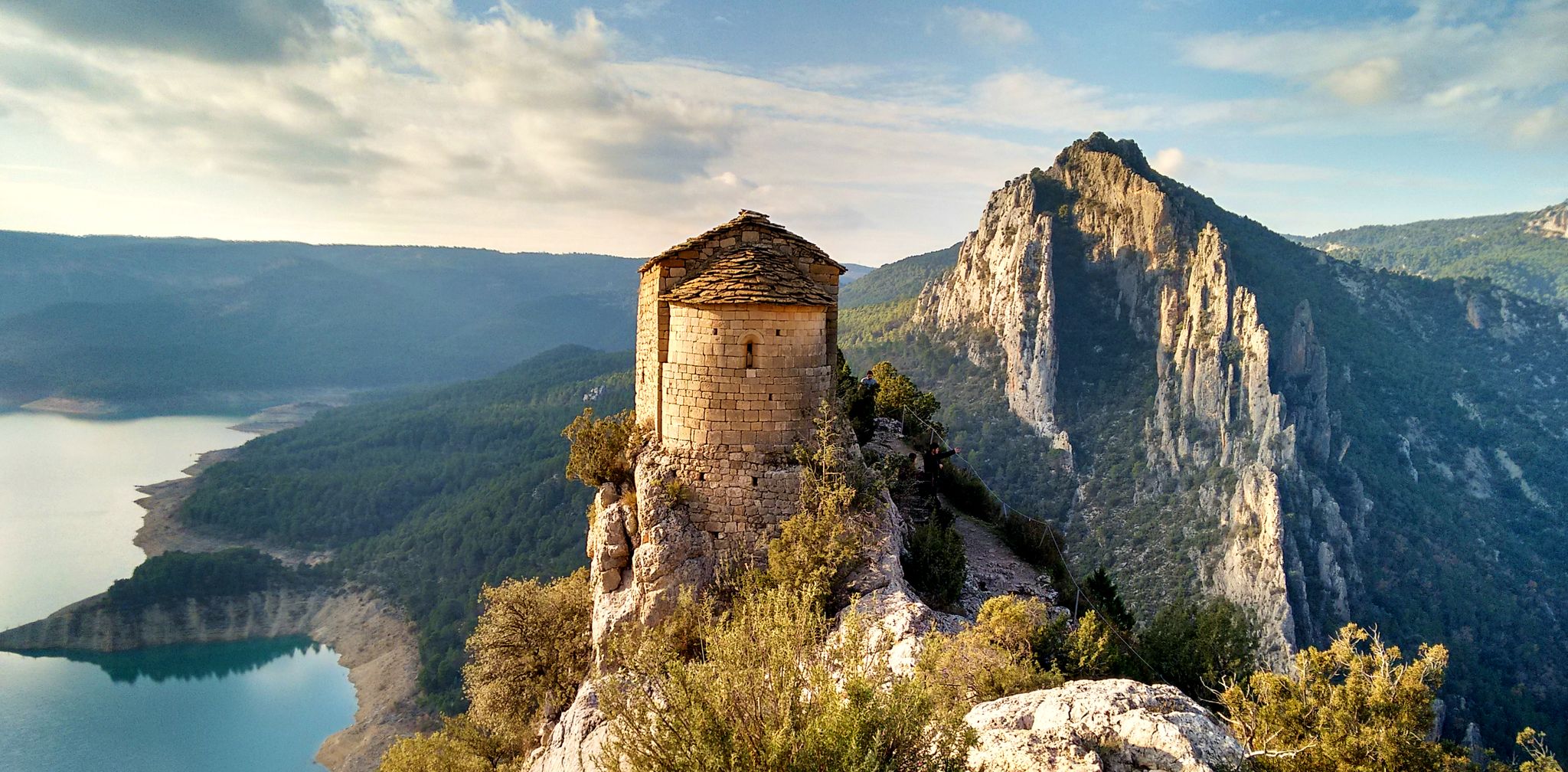
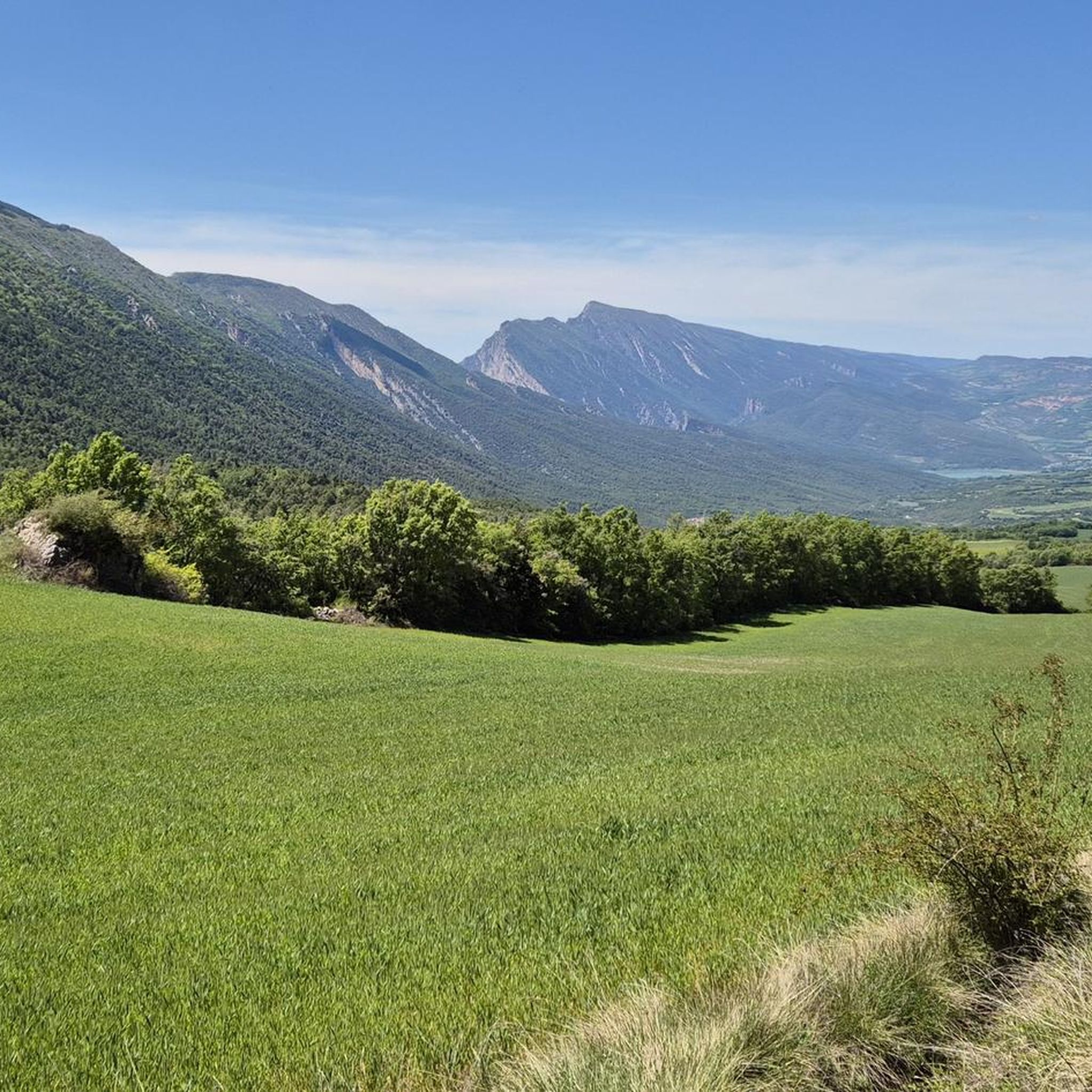
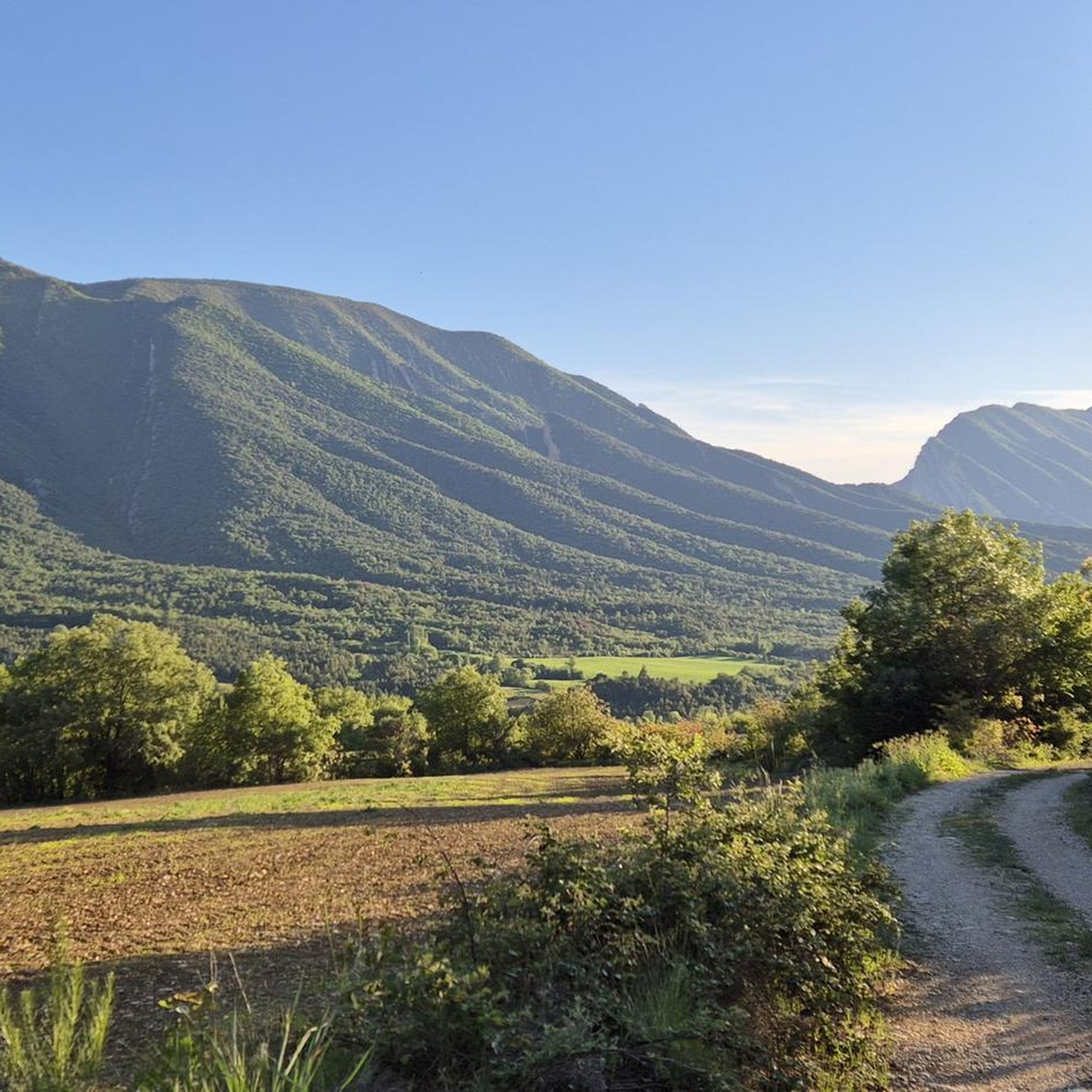
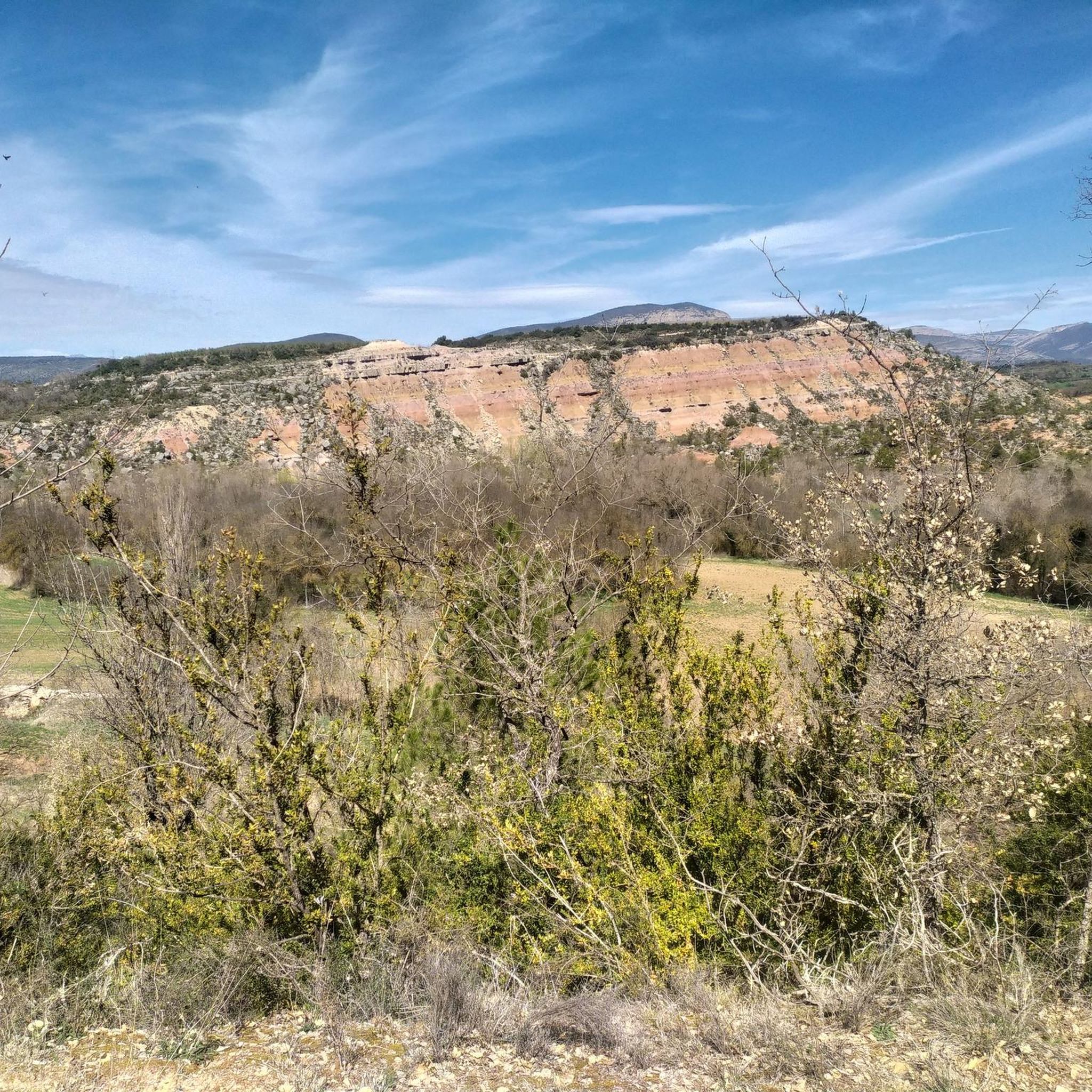
Road cycling around Gavet De La Conca offers a diverse and challenging landscape in the province of Lleida, Catalonia. The region is characterized by varied topography, including rocky and mountainous areas, significant elevation changes, and pre-mountainous agricultural zones. Cyclists encounter dramatic geological formations, such as the Serra del Montsec mountain range with its impressive gorges and cliffs, and scenic vistas overlooking reservoirs. This area is also part of the UNESCO World Geopark Orígens, highlighting its unique geological heritage.
Best road…
Last updated: May 16, 2026
74
riders
109km
05:51
1,930m
1,930m
Hard road ride. Very good fitness required. Some segments of this route may be unpaved and difficult to ride.
82
riders
Moderate road ride. Good fitness required. Some segments of this route may be unpaved and difficult to ride.

Sign up for free
28
riders
128km
07:00
2,350m
2,360m
Hard road ride. Very good fitness required. Some segments of this route may be unpaved and difficult to ride.
5.0
(1)
23
riders
62.0km
03:27
1,100m
1,100m
Hard road ride. Very good fitness required. Some segments of this route may be unpaved and difficult to ride.
24
riders
71.3km
03:45
1,050m
1,050m
Hard road ride. Very good fitness required. Mostly well-paved surfaces and easy to ride.
Get access to more routes and recommendations from other explorers.
Sign up for free
Already have an account?
Our route recommendations are based on thousands of hikes, rides, and runs completed by other people on komoot.
Start today with a free account
Your next adventure awaits.
Login or Signup

Other adventures around Gavet De La Conca

Tips from the Community

There are enough rest areas to linger.
0
0

It is a picturesque municipality located in the Pallars Jussà region, surrounded by mountains and close to rivers such as the Noguera Pallaresa. It is an ideal destination for nature lovers and outdoor sports such as cycling. In addition, it is famous for its olive oil production and its tradition of making artisanal sausages.
0
0
The trail leads you through a tunnel of vegetation that meanders through the flora, creating an immersive and charming journey. It is a fun and unique experience, but it is important to be careful with the branches on the ground and tree roots to avoid any unforeseen events.
0
0

Good alternative to not driving on the national road. The landscape is beautiful and the road, despite being secondary, is in good condition.
0
0
Beautiful pond in the plan de Corts. Its origin and source are unknown. The road that connects Vall Fosca and Vall de Noguera and passes through here is incredible.
0
0

Next to the Coll d'Ares, it is the most iconic port in the Montsec mountain range and the Lleida Pre-Pyrenees. The views from above, either towards the Pyrenees and the Isona and Tremp valley, as well as the Plana de Lleida, are magnificent. It is a port with 4 aspects, each one different: - The southern slope, which begins in Artesa de Segre, is almost 24 km long and runs along a road with a lot of traffic, very wide and with long straights. After passing the town of Folquer, you face the hardest section of the climb, now with continuous curves and horseshoes, although with a road that is still very wide. The best are the views of the Lleida plain. It is not a side that I like since it is very stinky. - The southeast slope, the one that begins in Pons, is longer than the previous one, with 29 km. It has 2 rest sections, with some descent, and the road is narrow and twisty. There are good views along the climb. This slope joins the southern slope that comes from Artesa de Segre at the height of Folquer, where the hardest 7 km remain until reaching the top of the pass. - The main northern slope begins in Tremp and is 28.2 km. It is similar to the Artesa de Segre slope, with a similar gradient and a wide, busy road with a progressive slope, although it is true that there are no kilometers that reach 7%. I don't like. - The northwest slope, which also begins in Tremp, takes the old road that goes up through the town of Sant Salvador de Toló. It is a climb without traffic, on an irregular asphalt road, one of the old ones, which is grippy and difficult to roll, but in good condition. If you plan to go up to Comiols on the northern slope, you have to do it here and forget about the slope that runs along the main road.
0
0

Lake Montcortés is not of glacial origin, but is a karst formation. Together with the surrounding mountains it forms a spectacular landscape, which is protected both by the Natura 2000 network and by the plan of areas of natural interest of the Generalitat of Catalonia.
0
0

Located at the confluence of the Sarroca and Flamicell rivers, Senterada is a good place to start the adventure through this region and the ascent to Lake Montcortès.
1
0
Frequently Asked Questions
How many road cycling routes are available in Gavet De La Conca?
There are over 30 road cycling routes around Gavet De La Conca, offering a diverse range of experiences. These include 15 moderate and 22 difficult routes, catering to various skill levels.
What kind of terrain can I expect when road cycling in Gavet De La Conca?
The region features a dynamic mix of rocky and mountainous landscapes, alongside pre-mountainous agricultural areas. You can expect routes with significant elevation changes and challenging climbs, especially around the Serra del Montsec, balanced with more gentle stretches through valleys.
Are there challenging climbs for experienced road cyclists in the area?
Yes, Gavet De La Conca is known for its challenging climbs. Routes often feature substantial elevation gains, with some traversing incredible rocky scenery. For instance, the View of Pantà de Terradets – Coll de Comiols loop from l'Hostal Roig includes over 2,300 meters of ascent.
What natural features or viewpoints can I see along the road cycling routes?
Cyclists can enjoy breathtaking natural features, including the dramatic geological formations of the Serra del Montsec, with its impressive gorges like those at Mont-rebei and Terradets. Many routes offer panoramic vistas, such as the views of the Terradets Reservoir, providing excellent spots for rest and appreciation of the scenery.
Is the region suitable for family-friendly road cycling?
While many routes in Gavet De La Conca feature significant elevation changes and are rated moderate to difficult, the region also offers agricultural and rural scenery. For family-friendly options, it's best to look for routes with less elevation gain or consider shorter, flatter sections within the valleys, though dedicated easy road cycling routes are less common here.
What is the best time of year to go road cycling in Gavet De La Conca?
The region's climate makes spring and autumn ideal for road cycling, offering pleasant temperatures and vibrant landscapes. Summers can be hot, especially on exposed climbs, while winters might bring colder conditions to the mountainous areas.
Are there any historical or geological points of interest to explore?
Absolutely. The area is part of the UNESCO World Geopark Orígens, highlighting its significant geological heritage. You can also explore historical sites like the Castle of Sant Oïsme or Castell de Mur, which are among the nearby attractions.
What do other cyclists say about road cycling in Gavet De La Conca?
The road cycling routes in Gavet De La Conca are highly rated by the komoot community, with an average score of 4.6 stars from 7 reviews. Cyclists often praise the challenging climbs, the dramatic scenery of the Serra del Montsec, and the rewarding panoramic views.
Are there options for parking near the cycling routes?
Many routes start from villages or towns within the region, where public parking is generally available. It's advisable to check specific starting points for parking facilities, especially in smaller hamlets or popular viewpoints.
Can I reach the starting points of routes using public transport with my bike?
Public transport options directly to the starting points of all road cycling routes in Gavet De La Conca can be limited. It's recommended to research local bus or train services in advance and confirm their bike carriage policies, as many routes begin in more rural locations.
What are some notable castles or historical sites I can visit near the routes?
Beyond the cycling, you can visit several historical sites. Notable castles include the Castle of Sant Oïsme, Castell de Mur, and Orcau Castle, offering glimpses into the region's rich history.
What are the typical distances and elevation gains for road cycling routes here?
Routes vary significantly. Moderate routes, like the View of Pantà de Terradets – Terradets Reservoir loop from Isona i Conca Dellà, can be around 50 km with over 500 meters of elevation. More difficult routes, such as the Coll de Comiols – Congost de Vilanova loop from Palau de Noguera, can exceed 100 km with nearly 2,000 meters of climbing.
Are there any amenities like cafes or pubs along the routes?
While the routes often pass through small villages, dedicated cyclist-friendly cafes or pubs might not be abundant on every stretch. It's advisable to plan your stops in larger towns or villages along your chosen route, or carry sufficient provisions.
Most popular routes around Gavet De La Conca
Most popular attractions around Gavet De La Conca

Get inspired with the komoot mobile app


Explore more
Browse the best Road cycling routes in other regions.
