The best walks and hikes around Argençola
4.5
(69)
697
hikers
94
hikes
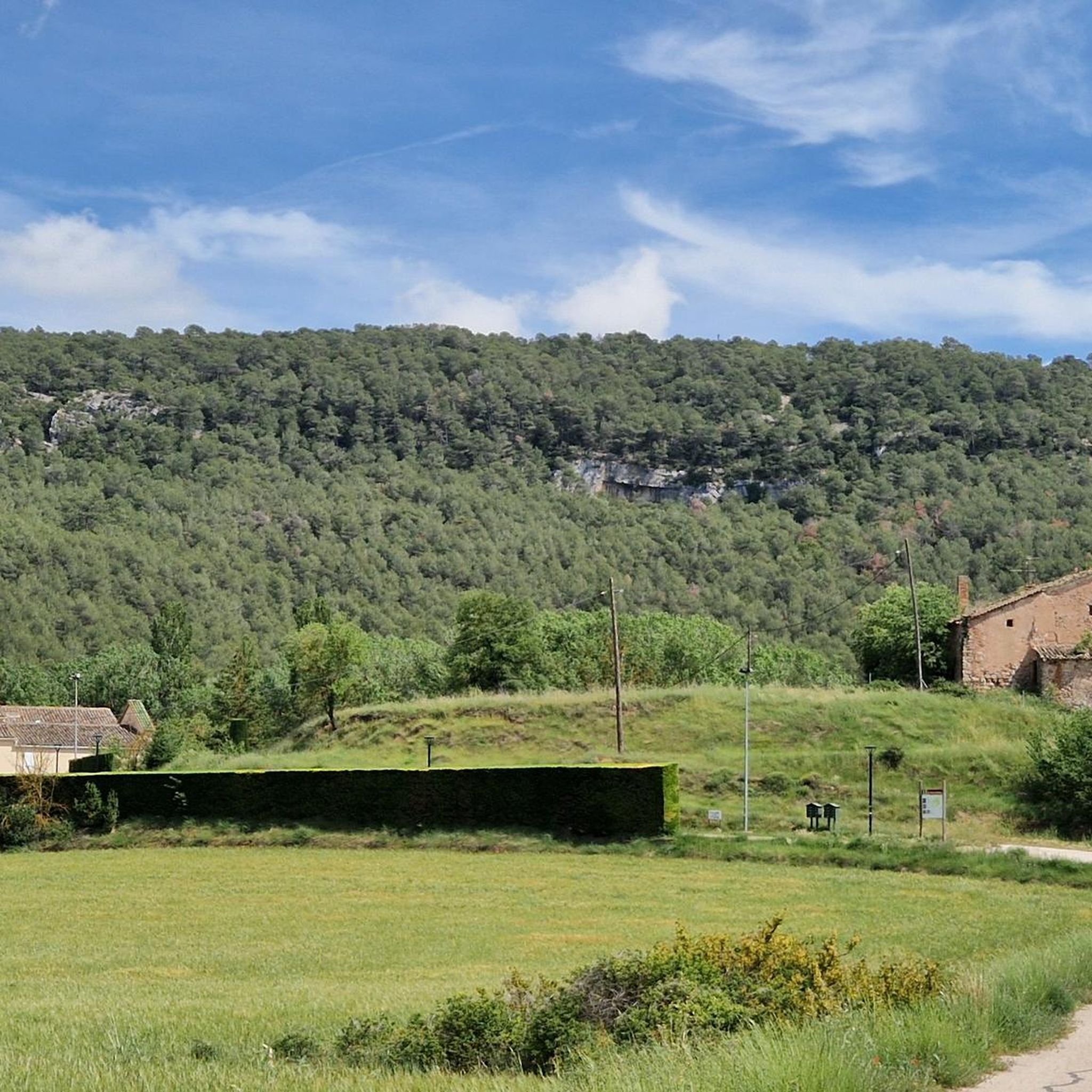
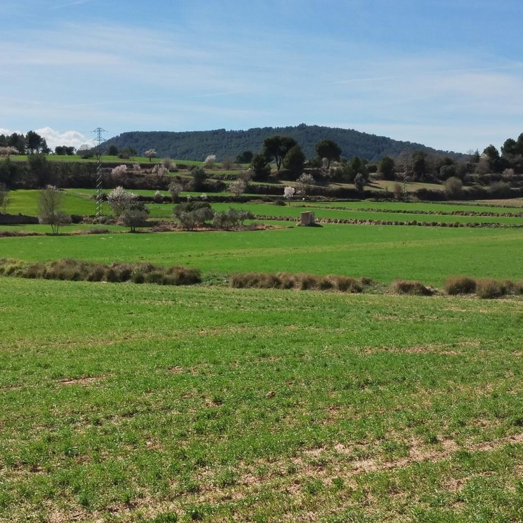
Hiking around Argençola offers a diverse landscape characterized by Mediterranean fields and forests, situated at an average altitude of about 700 meters. The terrain is a transitional mountainous area, featuring extensive cereal fields interspersed with forests of white pine and Aleppo pine, along with scattered oaks and holm oaks. Two wide valleys, drained by the Riera de Clariana and the Torrente del Molí de les Vinyes, contribute to the varied topography, providing open landscapes and a sense of tranquility.
Best…
Last updated: July 15, 2026
4
hikers
25.3km
06:57
420m
420m
Hard hike. Very good fitness required. Easily-accessible paths. Suitable for all skill levels.
4.8
(4)
23
hikers
10.0km
02:50
220m
220m
Moderate hike. Good fitness required. Easily-accessible paths. Suitable for all skill levels.

Sign up for free
4.0
(1)
3
hikers
7.73km
02:16
220m
220m
Moderate hike. Good fitness required. Easily-accessible paths. Suitable for all skill levels.
4.0
(1)
10
hikers
10.4km
02:58
240m
240m
Moderate hike. Good fitness required. Easily-accessible paths. Suitable for all skill levels.
5.0
(1)
9
hikers
6.35km
01:42
80m
80m
Easy hike. Great for any fitness level. Easily-accessible paths. Suitable for all skill levels.
Get access to more routes and recommendations from other explorers.
Sign up for free
Already have an account?
Our route recommendations are based on thousands of hikes, rides, and runs completed by other people on komoot.
Start today with a free account
Your next adventure awaits.
Login or Signup

Tips from the Community

La Tallada is part of the center of Sant Guim de Freixenet and its church is one of the most beautiful elements in the area, called the Church of Sant Martí de la Tallada.
0
0
Freixenet is a municipality that is part of Sant Guim de Freixenet. The name Freixenet comes from the ash tree and one of the most important points is its church, Santa Maria de Freixenet de Segarra.
0
0
Within the municipality of Sant Guim de Freixenet is this church and town in general, which have the same name, called the Church of Santa Maria del Castell. Small, stone and Romanesque where it is located to the north of the same nucleus.
0
0
Small waterfall that is located in the same Rubió river and that collects the waters of the slopes of the nearby mountains.
0
0
The Devil's Cave is a rock formation in the municipality of Sant Martí de Tous. From above you can see the hole made by the river and you can also go inside, entering the cave following the stream of water.
0
0

The Jorba dam, located in the course of the Rubió stream, is surrounded by riverside vegetation and is an idyllic place to walk and enjoy nature. Many birds can be observed while having a picnic along the shore.
1
0
Jorba is a very rural municipality in the region of Noya, dedicated mainly to agriculture and pig farming. The four streams that form between Jorba and the towns of Calaf and Argensola join here to form the Noya River. It later flows into the Llobregat next to Martorell.
2
0
Frequently Asked Questions
How many hiking trails are available in Argençola?
There are nearly 100 hiking trails around Argençola, offering a wide variety of options for all skill levels. The komoot community has recorded 97 tours in the area.
What are the different difficulty levels for hiking in Argençola?
You'll find a good mix of trails in Argençola. There are 27 easy routes, 59 moderate routes, and 11 difficult routes, catering to various fitness levels and preferences.
When is the best time of year to go hiking in Argençola?
The best months to enjoy the trails in Argençola are typically April, May, September, and October. During these times, the weather is generally pleasant for outdoor activities, allowing you to fully appreciate the Mediterranean landscapes.
What kind of landscapes can I expect to see while hiking in Argençola?
Argençola offers a diverse landscape characterized by Mediterranean fields and forests, extensive cereal fields, and forests of white pine and Aleppo pine. You'll also encounter scattered oaks and holm oaks, along with two wide valleys drained by the Riera de Clariana and the Torrente del Molí de les Vinyes, providing open vistas and a sense of tranquility.
Are there any historical landmarks or points of interest along the hiking routes?
Yes, Argençola is rich in rural heritage. You can discover several historical sites such as the remains of Argençola Castle, Romanesque churches in places like Clariana and Porquerisses, and the unique complex of ruins known as Corral del Monjo. Many routes also connect small, traditional hamlets.
Are there any circular hiking routes in Argençola?
Yes, many routes in Argençola are designed as circular paths, allowing you to start and end at the same point. An example is La Fou Cave – Devil's Cave loop from Sant Martí de Tous, a moderate 9.7 km trail that winds through the local landscape.
What do other hikers enjoy most about the trails in Argençola?
The trails in Argençola are highly rated by the komoot community, with an average score of 4.5 stars from over 60 reviews. Hikers often praise the tranquil atmosphere, the diverse Mediterranean scenery, and the opportunity to explore historical sites and charming hamlets along the way.
Are there any easy hiking trails suitable for families or beginners?
Absolutely. Argençola offers 27 easy routes that are suitable for families and beginners. An example is the Jorba Dam – Jorba loop from Jorba, an easy 6.3 km trail that can be completed in about 2 hours.
Can I find trails that include viewpoints with panoramic views?
Yes, the region's elevated position, with the main village at 768 meters, provides many opportunities for panoramic views. The Torre de l'Aigua Viewpoint is a local trail destination offering expansive views of the Alta Anoia region. You can also find scenic spots like Serra de Rubió and T201 Road and View of Santa Perpètua de Gaià.
Are there any trails that pass by water features like waterfalls?
While Argençola is more known for its Mediterranean forests and fields, some routes in the broader area can include water features. For example, the Jorba Dam – Rubió Stream Waterfall loop from Jorba is a moderate 10.4 km hike that features a waterfall.
What is the terrain like on the hiking trails in Argençola?
The terrain in Argençola is generally a transitional mountainous area with gentle relief. You'll encounter a mix of extensive cereal fields, pine forests, and Mediterranean scrub. Trails often follow paths connecting farmhouses and hermitages, with some basic signage. The agricultural tradition is visible through terraces and dry stone walls.
Are there any longer, more challenging hikes for experienced hikers?
Yes, for experienced hikers looking for a challenge, there are 11 difficult routes available. One such option is the Camino de la Marinada — circular desde Sant Guim de Freixenet, a demanding 25.3 km trail that typically takes nearly 7 hours to complete and offers expansive views.
Most popular routes around Argençola
Most popular attractions around Argençola

Get inspired with the komoot mobile app


Explore more
Browse the best Hikes in other regions.
