The best running trails around Domingo García
11
runners
3
runs
Jogging around Domingo García offers routes through diverse terrain in the Alcarria region of Cuenca. The landscape is characterized by pinewoods and holm-oak woods, providing natural shade and varied scenery. Situated at an elevation of 942 meters, the area features varied topography, including both challenging inclines and flatter sections. Established trails, such as senderos, ensure well-maintained paths for running.
Best jogging routes around Domingo García
- The most popular jogging route is Lagoons Trail, a 2.9 miles (4.6 km) trail…
Last updated: May 16, 2026
1
runners
4.64km
00:31
20m
20m
Moderate run. Great for any fitness level. Mostly accessible paths. Some sure footedness required.
8
runners
15.2km
01:45
200m
200m
Hard run. Very good fitness required. Mostly paved surfaces. Suitable for all skill levels.

Sign up for free
2
runners
14.7km
01:45
70m
70m
Moderate run. Good fitness required. Mostly paved surfaces. Suitable for all skill levels.
Our route recommendations are based on thousands of hikes, rides, and runs completed by other people on komoot.
Start today with a free account
Your next adventure awaits.
Login or Signup
Tips from the Community

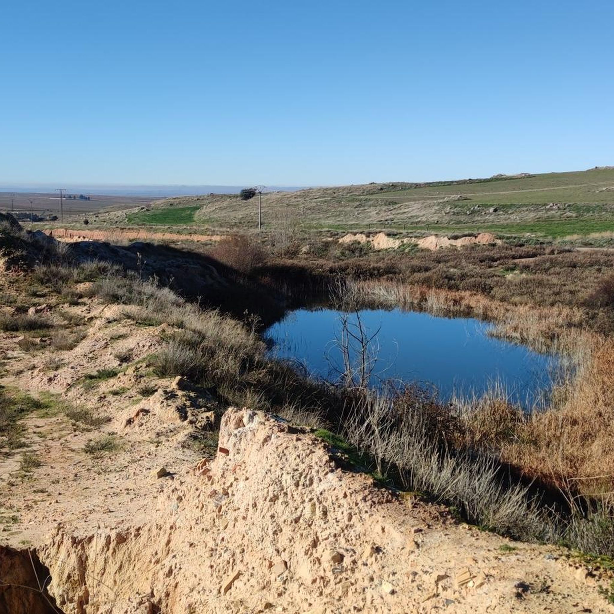
It is a natural lagoon located in an environment of great beauty, surrounded by diverse vegetation and fauna. It is an ideal place to enjoy quiet walks, bird watching and relaxing in nature. In addition, it is a popular site for photography lovers due to its picturesque landscapes.
7
0
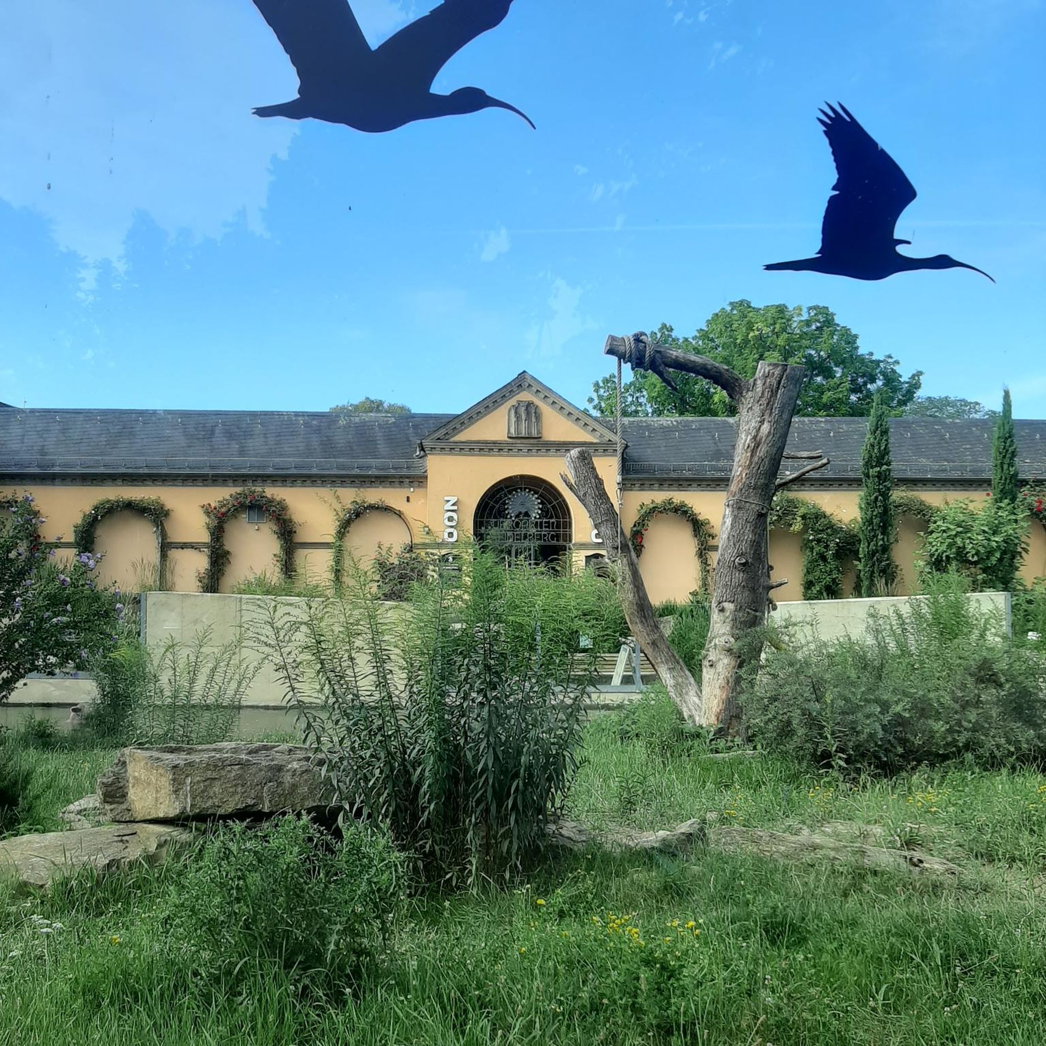
Carbonero el Mayor is a municipality and Spanish town in the province of Segovia, in the southern part of the autonomous community of Castilla y León. It appears cited in 1247 under the name Carbonero de Liedos; In 1587 it was mentioned as Carbonero la Mayor and in the 19th century it already appeared with its current name.
4
0

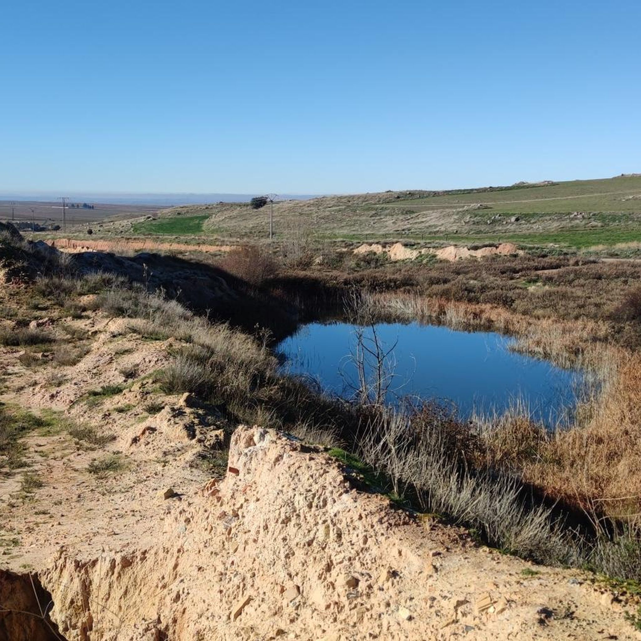
Close to the town of the same name as Navas de Oro, where they are surrounded by a set of beautiful pine forests. More than one lagoon appear, which are called Laguna de la Magdalena and that of Pero Rubio, the two, further north.
0
1
Beautiful town that is located near the basin of the Río Eresma and that, in addition, its surroundings, there is El Sumidero, a set of pine forests that are very good places to go running.
0
0
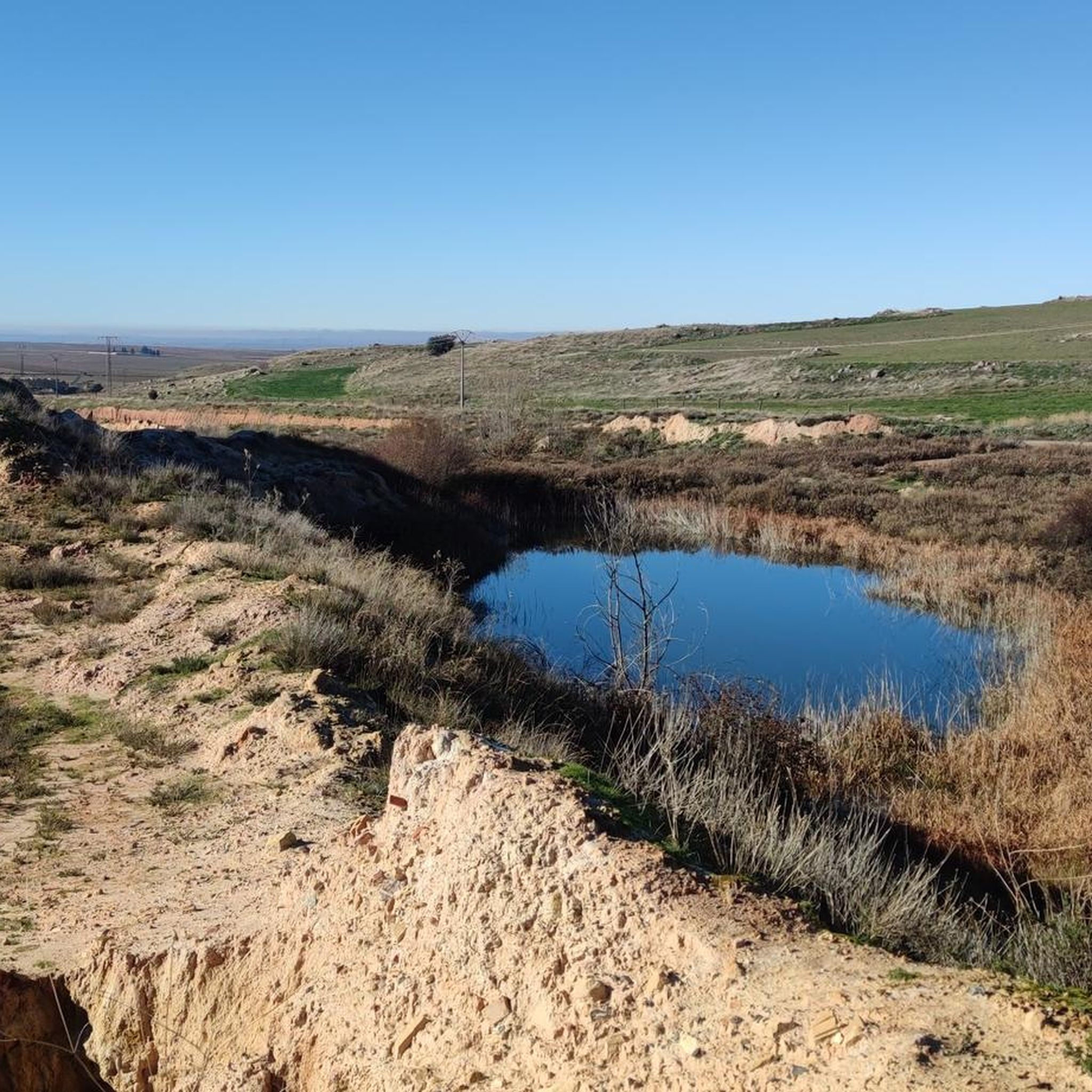
Carbonero el Mayor is a town located north of the city of Segovia, in the middle of the plain that goes from the Central System and the great plains of Valladolid.
1
0
Frequently Asked Questions
How many running routes are available in Domingo García?
There are 3 dedicated jogging routes around Domingo García listed in this guide. These routes offer a variety of experiences, from moderate paths to more challenging trails, allowing you to explore the diverse landscape of the Alcarria region of Cuenca.
Are there running routes suitable for beginners or those looking for an easier run?
Yes, for those seeking a more moderate experience, the Lagoons Trail is a great option. It's a 2.9-mile (4.6 km) route that winds through natural scenery and is generally completed in about 31 minutes, making it accessible for many runners.
What kind of terrain can I expect on the running trails in Domingo García?
The running routes in Domingo García are characterized by diverse terrain, including paths that wind through pinewoods and holm-oak woods, providing natural shade and varied scenery. The area is situated at an elevation of 942 meters, offering varied topography with both challenging inclines and flatter sections. You'll find well-maintained paths, often established senderos.
Are there any challenging running routes for experienced runners?
Absolutely. For a more demanding run, consider the Fuentes loop from Carbonero el Mayor. This difficult 9.3-mile (15.0 km) path features varied topography and offers wide panoramas, providing a significant challenge and rewarding views.
Can I find circular running trails in the area?
Yes, several routes are designed as loops. For example, the Laguna de Balsa de la Ermita loop from Bernardos is a 9.1-mile (14.7 km) trail that takes you through pinewoods and holm-oak woods, offering a complete circular experience.
What historical or cultural sites can I see near the running routes?
While jogging, you can explore the rich history of the region. The municipality is home to the significant Roman Villa of Noheda, renowned for its impressive mosaics. You might also encounter historical religious buildings like the parish church of La Asunción and the hermitage of Santo Cristo in the village. Additionally, the Hermitage of the Virgin of the Well is a notable highlight nearby.
Are there any routes that offer particularly scenic views?
Yes, the Fuentes loop from Carbonero el Mayor is known for its wide panoramas, allowing you to take in the expansive beauty of the Alcarria region. The diverse landscape of pinewoods and holm-oak woods also ensures picturesque scenery on many trails.
Is the area suitable for running with dogs?
The natural environment of Villar de Domingo García, with its pinewoods and established trails, is generally welcoming for outdoor activities with dogs. However, it's always advisable to keep your dog on a leash, especially in areas with wildlife or near agricultural land, and to check for any specific local regulations or signage on individual trails.
What is the best time of year to go jogging in Domingo García?
The varied topography and natural shade from pinewoods and holm-oak woods make jogging enjoyable across different seasons. Spring and autumn offer pleasant temperatures and vibrant scenery. Summer mornings or evenings can be ideal to avoid the midday heat, while winter runs can be refreshing, provided you dress appropriately for the elevation of 942 meters.
Are there places to park near the running routes?
While specific parking details for each route are best checked on the individual komoot tour pages, the presence of established trails and the nature of the municipality suggest that parking options are generally available near trailheads or in the nearby villages like Villar de Domingo García, Carbonero el Mayor, or Bernardos, which serve as starting points for these routes.
What do other runners enjoy most about jogging in Domingo García?
Runners who have explored the trails around Domingo García often praise the varied terrain and the refreshing natural environment. The mix of pinewoods and holm-oak woods, along with the diverse topography, provides an engaging experience for different fitness levels. The established trails are also appreciated for their accessibility and scenic beauty.
Most popular attractions around Domingo García

Get inspired with the komoot mobile app


Explore more
Browse the best Running Trails & Routes in other regions.
