The best road cycling routes around Millares
4.5
(4)
166
riders
12
rides
Road cycling around Millares, located in the interior of Valencia, Spain, offers diverse terrain for cyclists of varying fitness levels. The region is characterized by its strategic location on the Xúquer River, providing scenic landscapes and challenging segments. Cyclists can expect mostly paved surfaces with significant elevation gains, traversing areas rich in natural features like springs and historical sites such as ancient castles.
Best road cycling routes around Millares
- The most popular road cycling route is Jucar Canyons Trail from…
Last updated: October 28, 2026
3.0
(1)
20
riders
59.3km
03:44
1,440m
1,440m
5.0
(1)
19
riders
83.5km
04:53
1,850m
1,850m
Hard road ride. Very good fitness required. Mostly well-paved surfaces and easy to ride.

5.0
(1)
27
riders
89.4km
05:21
1,950m
1,950m
Hard road ride. Very good fitness required. Mostly well-paved surfaces and easy to ride.
6
riders
48.5km
02:31
850m
850m
Moderate road ride. Good fitness required. Mostly well-paved surfaces and easy to ride.
7
riders
73.3km
04:15
1,430m
1,430m
Hard road ride. Very good fitness required. Mostly well-paved surfaces and easy to ride.
Get access to more routes and recommendations from other explorers.
Already have an account?
Our route recommendations are based on thousands of hikes, rides, and runs completed by other people on komoot.
Start today with a free account
Your next adventure awaits.


Tips from the Community


Traditional stone-built fountain, located at the entrance to this town in the Canal de Navarrés. It is a point of natural and heritage interest, frequented on hiking and water routes in the area, such as those near the Júcar canyon. It is located near the area of the Molino de los Moros and the Chorrador del Bosque («El Monstruo»). It is part of the municipality's water resources, often visited along with other points such as the Fuente de las Donas or the washhouses.
0
0
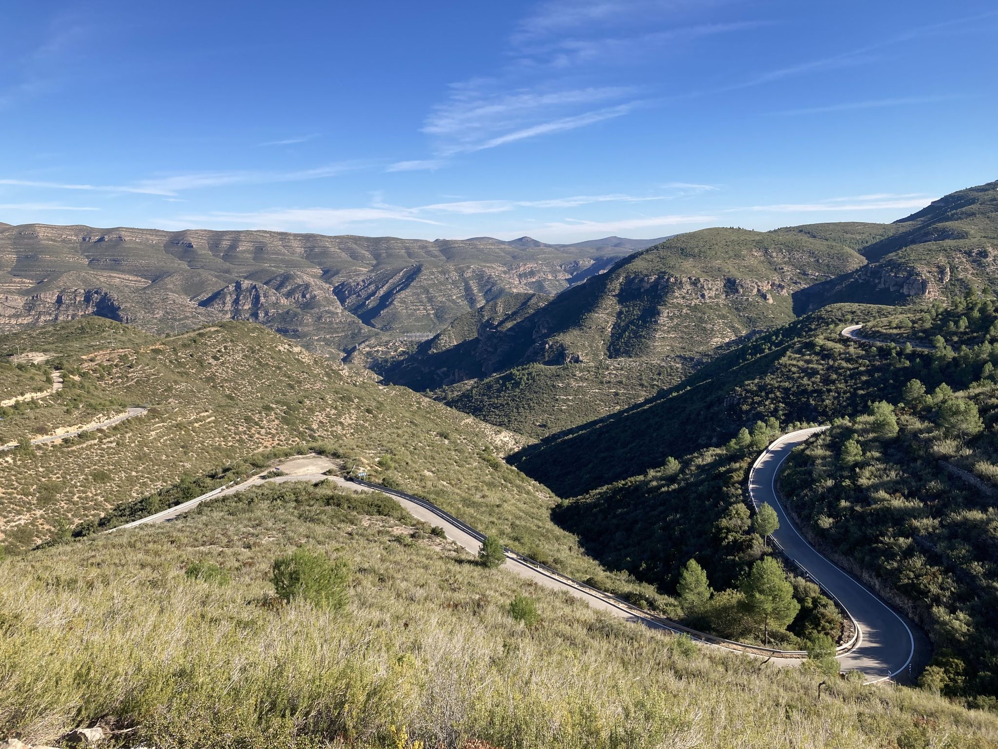
The pass begins when crossing the bridge over the Jucar river and ends when entering the town of Millares. It is 4.2 km at 4.3%
0
0
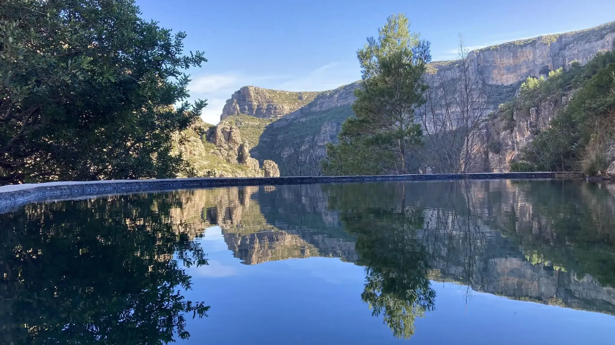
Rest area, just down a few steps from the road. Good shade, and running water for refreshment and drinking water from the fountain. There's a paella grill area (although, at least in summer, it's closed to public use), tables, and benches. Not to mention, the most remarkable thing is the view over the reservoir.
0
0
A lookout point overlooking the Cortes de Pallas Reservoir. It also has a parking area, wooden tables and benches, some children's games, and a stop for the tourist train. (I'm leaving the only photo I saved, but please add others; this one is bad :) )
0
0

For its views and bike routes
0
0

You will also find some wooden tables that invite you to stop and take a break.
0
0
Viewpoint with magnificent views of Cortes de Pallas and the Pallas reservoir. It is located down to the bridge and before going up to Cortes.
0
0
Frequently Asked Questions
What is the general difficulty level of road cycling routes in Millares?
Road cycling in Millares offers a range of routes, primarily catering to cyclists with moderate to very good fitness. The terrain is diverse, featuring mostly paved surfaces but often including challenging segments with significant elevation gains. Out of 16 available routes, 11 are classified as difficult, and 5 as moderate, indicating a focus on more demanding rides.
Are there challenging climbs in the Millares area?
Yes, the Millares area is known for its challenging climbs. Routes often feature significant elevation gain, with some demanding very good fitness. For example, the route From Dos Aguas to Quesa via Puerto de Millares includes the notable ascent of Puerto de Millares, requiring a strong fitness level.
What natural features can I see while road cycling in Millares?
The region is rich in natural beauty. You can expect to see the scenic Xúquer River, numerous springs, and the crystal-clear waters of the Fraile River. Some routes offer impressive views, such as the Views of the Júcar River. The area also boasts the impressive 68-meter Chorrador del Bosque waterfall, known as 'The Monster', though it might require a short detour from cycling paths.
Are there historical sites or landmarks along the cycling routes?
Yes, Millares's natural landscape is complemented by several historical structures. You might encounter ancient defensive fortresses like El Castillet castle, El Corral Antón Castle, and Torre de Cavas, some dating back to the 12th century. The Rambla Tambuc is also a significant cultural space featuring dinosaur footprints, part of the Valencian Community’s 'Dinosaur Trails'.
What do other road cyclists enjoy the most about road cycling in Millares?
The road cycling routes around Millares are highly rated by the komoot community, with an average score of 4.3 stars. Cyclists often praise the varied terrain, the challenging climbs, and the scenic riverine environments. Many appreciate the opportunity to explore historical castles and natural features while enjoying a demanding ride.
Are there any circular road cycling routes in Millares?
Yes, several routes in the Millares area are designed as loops, offering a complete circular experience. An example is the Alto de Ayora Hut – La Pileta Viewpoint loop from Cortes de Pallás, which covers 89.1 km through varied terrain with notable viewpoints.
How long do road cycling routes in Millares typically take?
The duration of road cycling routes in Millares varies significantly depending on the distance and elevation gain. Routes can range from under two hours for shorter, less demanding rides to over five hours for longer, more challenging ones. For instance, the Jucar Canyons Trail from Cortes de Pallas typically takes around 3 hours 44 minutes.
What is the best time of year for road cycling in Millares?
Given Millares's location in the interior of Valencia, spring and autumn generally offer the most pleasant conditions for road cycling, with milder temperatures. Summers can be very hot, making early morning or late afternoon rides preferable. Winters are typically mild but can be cooler, especially at higher elevations.
Are there any routes that offer views of reservoirs or lakes?
While cycling, you might find routes that pass near or offer views of water bodies. The region includes features like the Escalona Reservoir and Tous Dam, which can be scenic points of interest along or near some cycling paths.
Are there any moderate difficulty road cycling routes in the area?
Yes, while many routes are difficult, there are also options for moderate difficulty. For example, the Bicorp – Puerto Bicorp - Las Pedrizas loop from Bicorp is classified as moderate, covering nearly 49 km with significant but manageable elevation gain, making it suitable for those looking for a less intense challenge.
What is the longest road cycling route available in Millares?
One of the longest road cycling routes in the Millares area is the Church of Saint John the Baptist loop from Dos Aguas. This challenging route spans over 156 km and involves substantial elevation gain, typically taking around 8 hours to complete.
Most popular attractions around Millares

Get inspired with the komoot mobile app


Explore more
Browse the best Road cycling routes in other regions.
