The best cycling routes around Hontanar
5.0
(1)
36
riders
9
rides
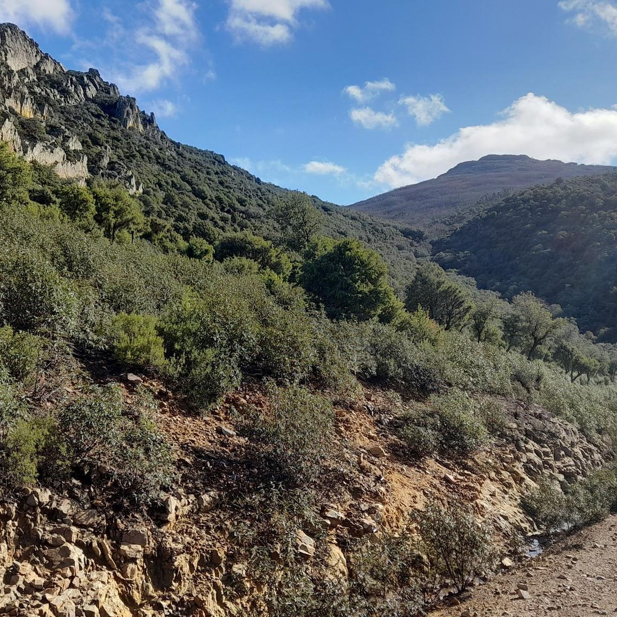
Touring cycling around Hontanar offers routes through the challenging landscapes of the Montes de Toledo in Spain. The region features a mountainous and hilly terrain, including the Sierra de la Valeruela, which provides a picturesque backdrop for rides. Hontanar serves as a gateway to the Cabañeros National Park, indicating a rich natural environment for exploration. The area's elevation changes and panoramic views are characteristic of its touring cycling routes.
Best touring cycling routes around Hontanar
- The most popular touring cycling…
Last updated: October 1, 2026
2
riders
117km
07:43
1,680m
1,680m
Hard bike ride. Very good fitness required. Mostly paved surfaces. Suitable for all skill levels.
6
riders
34.3km
02:24
660m
660m
Hard bike ride. Very good fitness required. Mostly paved surfaces. Suitable for all skill levels.

7
riders
36.0km
02:59
640m
640m
Hard bike ride. Very good fitness required. You may need to push your bike for some segments of this route.
3
riders
20.3km
01:42
380m
380m
Moderate bike ride. Good fitness required. Mostly paved surfaces. Suitable for all skill levels.
2
riders
14.9km
01:24
150m
150m
Easy bike ride. Great for any fitness level. Mostly paved surfaces. Suitable for all skill levels.
Get access to more routes and recommendations from other explorers.
Already have an account?
Our route recommendations are based on thousands of hikes, rides, and runs completed by other people on komoot.
Start today with a free account
Your next adventure awaits.

Tips from the Community

The CM-4017 road crosses Cabañeros National Park between Horcajo de los Montes and Retuerta del Bullaque, offering one of the most scenic routes through the Montes de Toledo. It's ideal for cars, motorcycles, or bicycles, with good road surfaces and spectacular views.
3
0

The village is crossed by a branch or connecting ravine of the ancient Mesta, part of the Cañada Real Segoviana. These conditions of water and tranquility may have been decisive in the village's formation: there is evidence of human settlement in the Stone Age. Two roads also provide clear evidence of its existence in Roman times.
0
1

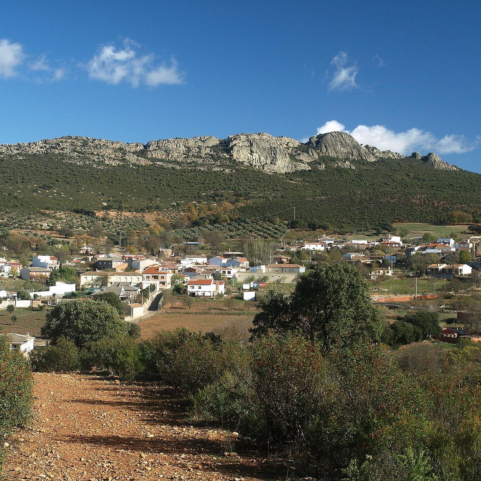
A town located in a very picturesque environment, on the slopes of the Montes de Toledo, in the Pusa valley that I recommend you see.
1
1
The route through the Hoz de Carboneros begins here, there is a flat area where you can park your car. La Hoz de Carboneros is a beautiful canyon that leads to beautiful waterfalls. It is a practically unsignposted route, except for two signs that we will find on the route.
2
0
Road in perfect condition, which passes through the heart of the park. It allows you to enjoy the environment and its nature.
1
0

Go up to Alto de las Paradas between oaks at 1154 masl. The climb from Navahermosa is 12.5 km, so take your time and moderate your effort.
1
1
Horcajo has a unique charm: its municipal area is integrated into the Cabañeros National Park. 1 km from the town of Horcajo, is the largest visitor center in the Park, essential to plan a visit. There, a main exhibition shows the different ecosystems of Cabañeros throughout the four seasons of the year. In addition, a quintería in which the culture and traditions of the region are made known. It is completed with projection rooms, a library, a picnic area, parking lots, etc.
16
0
Horcajo de los Montes is the official starting point to visit the national park, since its municipal area is integrated into the Cabañeros National Park. To plan the visit, it is essential to visit the visitor center that is located 1 km to the west. It is also recommended to visit the Ethnographic Museum, you can check the schedule on the website http://www.turismocastillalamancha.es/patrimonio/museo-etnografico-de-horcajo-de-los-montes-26061/descripcion/
3
0
Frequently Asked Questions
How many touring cycling routes are available around Hontanar?
There are 7 touring cycling routes around Hontanar, offering a range of experiences through the Montes de Toledo. Most of these routes are considered difficult, with one moderate option available.
What kind of terrain can I expect on touring cycling routes in Hontanar?
The terrain around Hontanar is predominantly mountainous and hilly, characteristic of the Montes de Toledo. You'll encounter challenging landscapes, including the Sierra de la Valeruela, with significant elevation changes and panoramic views. Routes may feature both paved and unpaved sections.
Are there any circular touring cycling routes in Hontanar?
Yes, many of the touring cycling routes around Hontanar are designed as loops. For example, you can explore the Puerto del Robledillo – Puerto del Lanchar loop from Hostal Baños del Sagrario or the Alto de las Paradas – Arroyo de Lanchas loop from Navahermosa, which offer scenic circular journeys.
What are some challenging touring cycling routes in Hontanar?
For experienced touring cyclists seeking a challenge, the Return to Cabañeros National Park — from Navas de Estena is a demanding 73-mile route. Another difficult option is the Puerto del Robledillo – Puerto del Lanchar loop from Hostal Baños del Sagrario, known for its significant elevation gain.
Are there any touring cycling routes suitable for moderate ability levels in Hontanar?
Yes, there is at least one route suitable for moderate ability levels. The Los Navalucillos loop from Los Navalucillos is a 12.7-mile route that offers a less strenuous option while still allowing you to experience the region's beauty.
What natural attractions can I discover along touring cycling routes near Hontanar?
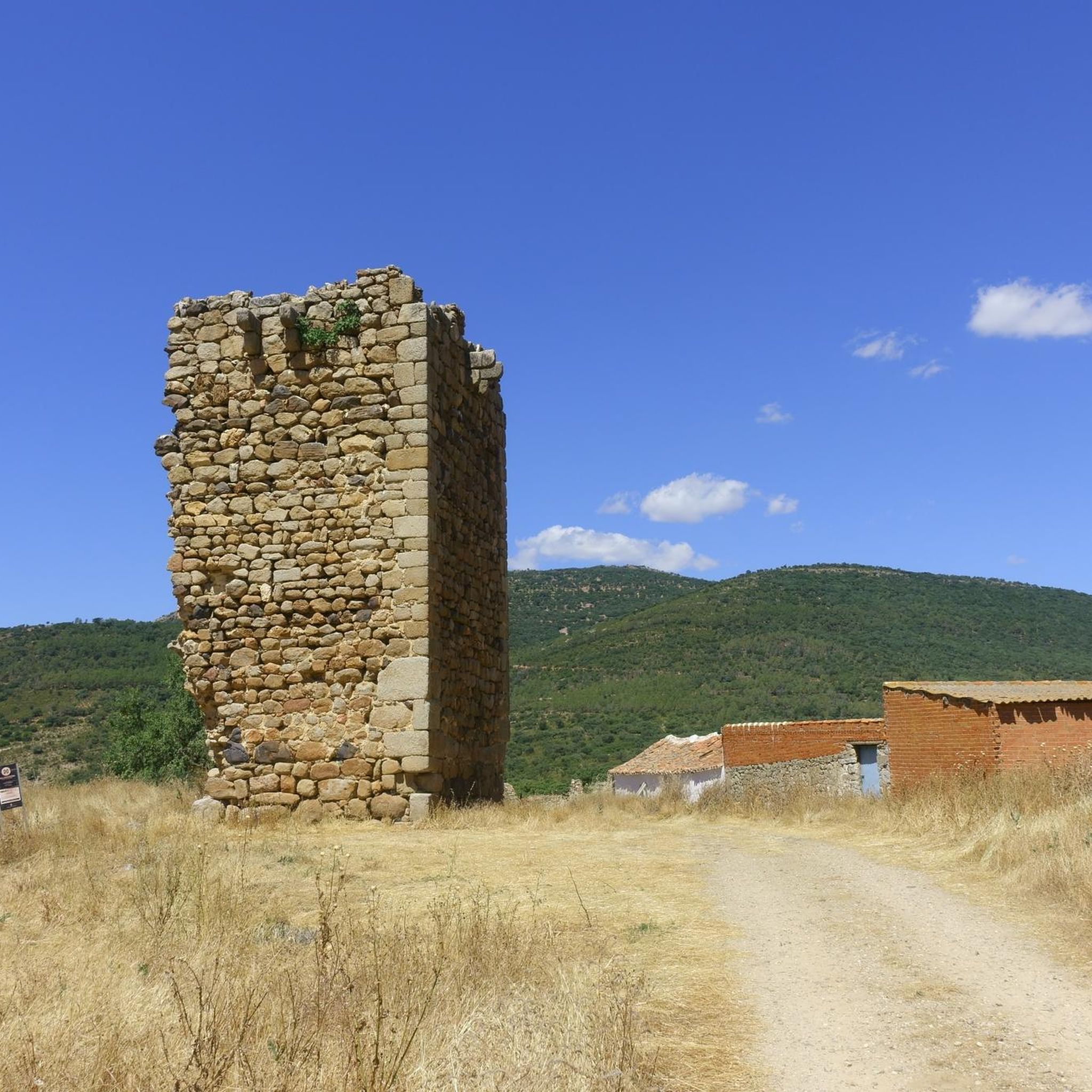
The region offers several natural attractions. You might encounter the unique Estena Towers or the impressive Chorro de Los Navalucillos Waterfall. The area is also close to Cabañeros National Park, known for its rich natural environment.
Are there any notable viewpoints or landmarks on the touring cycling routes?
Yes, the mountainous terrain provides excellent viewpoints. The Alto de las Paradas is a prominent summit offering panoramic views, and the Alto de las Paradas – El Cabezo (viewpoint) loop from Navahermosa specifically highlights a scenic viewpoint. You can also find the Hermitage of the Virgin of the Antigua.
What is the best time of year for touring cycling in Hontanar?
Given the challenging landscapes and potential for demanding ascents, spring and autumn generally offer the most pleasant conditions for touring cycling in Hontanar. Temperatures are milder, making long rides more enjoyable than in the peak heat of summer.
Are there any specific permits required for cycling near Cabañeros National Park?
While Hontanar serves as a gateway to Cabañeros National Park, specific permits for cycling within the park itself may be required depending on the exact route and regulations. It's advisable to check the official Cabañeros National Park website for the latest information on access and permits before planning your ride.
Can I find cafes or pubs along the touring cycling routes in Hontanar?
While the routes traverse natural and sometimes remote areas, you will typically find amenities like cafes or pubs in the villages and towns that serve as starting or ending points for many routes, such as Navahermosa or Los Navalucillos. Planning your stops in advance is recommended.
Is it possible to reach Hontanar by public transport with a bike?
Public transport options directly to Hontanar with bike carriage can be limited. It's best to research local bus services or regional trains that might allow bikes, often requiring prior booking or specific times. Driving to the area and parking is generally the most flexible option for cyclists.
Where can I find parking for touring cyclists in Hontanar?
Parking for cyclists is typically available in the main villages and towns around Hontanar, such as Navahermosa or Los Navalucillos, which serve as common starting points for many routes. Look for designated parking areas or inquire locally upon arrival.
Most popular attractions around Hontanar

Get inspired with the komoot mobile app


Explore more
Browse the best Cycling routes in other regions.
