The best walks and hikes around Sopuerta
4.6
(964)
6,142
hikers
226
hikes
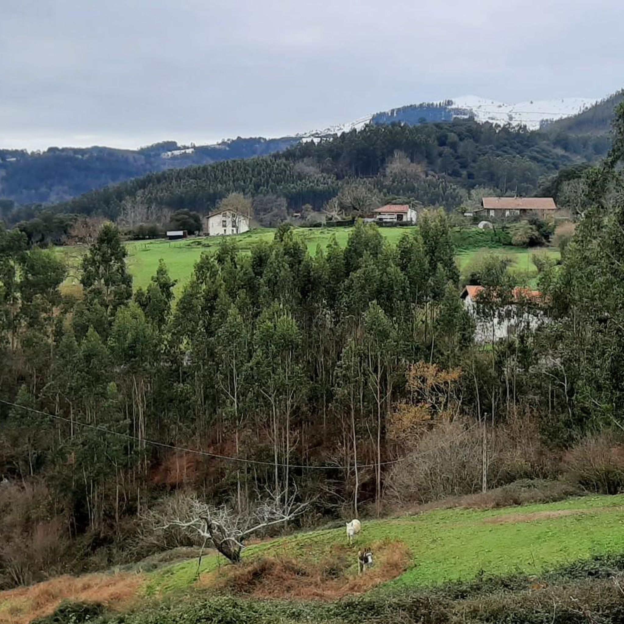
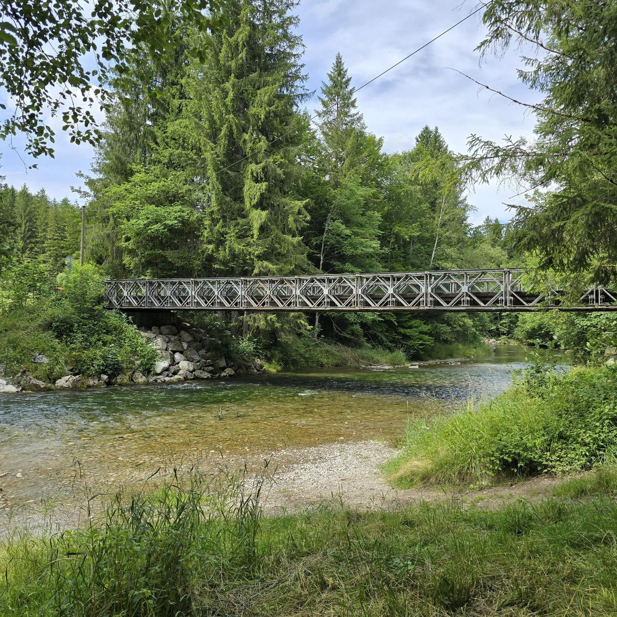
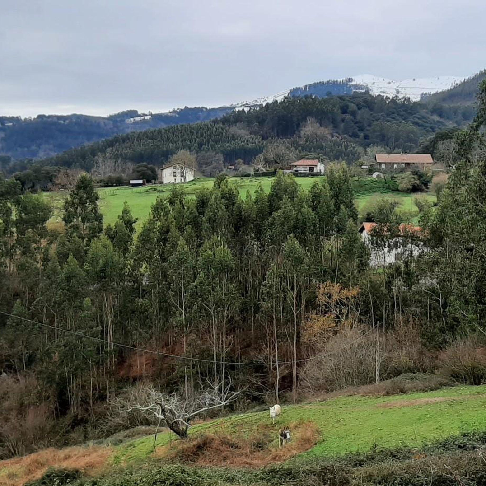
Hiking around Sopuerta offers a diverse landscape characterized by rolling hills, dense woodlands, and open pastures, typical of the Vizcaya region. The area features several prominent hills and natural reserves, providing varied terrain for exploration. Many Sopuerta hiking trails include ascents to summits, offering views of the surrounding countryside and the Ordunte Reservoir. The region's network of paths supports a range of Sopuerta circular walks.
Best hiking trails around Sopuerta
- The most popular hiking route is Garbea and Kolitza Loop…
Last updated: October 6, 2026
4.3
(3)
13
hikers
8.99km
03:10
360m
360m
Moderate hike. Good fitness required. Mostly accessible paths. Sure-footedness required.
5.0
(3)
17
hikers
17.6km
04:50
280m
280m
Moderate hike. Good fitness required. Easily-accessible paths. Suitable for all skill levels.

4.0
(2)
12
hikers
14.2km
04:42
520m
520m
Moderate hike. Good fitness required. Mostly accessible paths. Sure-footedness required.
5.0
(2)
15
hikers
14.9km
04:04
220m
220m
Moderate hike. Good fitness required. Easily-accessible paths. Suitable for all skill levels.
4.7
(3)
18
hikers
12.6km
04:00
460m
460m
Moderate hike. Good fitness required. Mostly accessible paths. Sure-footedness required.
Get access to more routes and recommendations from other explorers.
Already have an account?
Our route recommendations are based on thousands of hikes, rides, and runs completed by other people on komoot.
Start today with a free account
Your next adventure awaits.
Other adventures around Sopuerta

Tips from the Community

The old railway tunnel that linked Castro-Urdiales and Translaviña was an enormous project in its day. Today it serves so that you can enjoy a spectacular tour among nature on wheels.
1
0

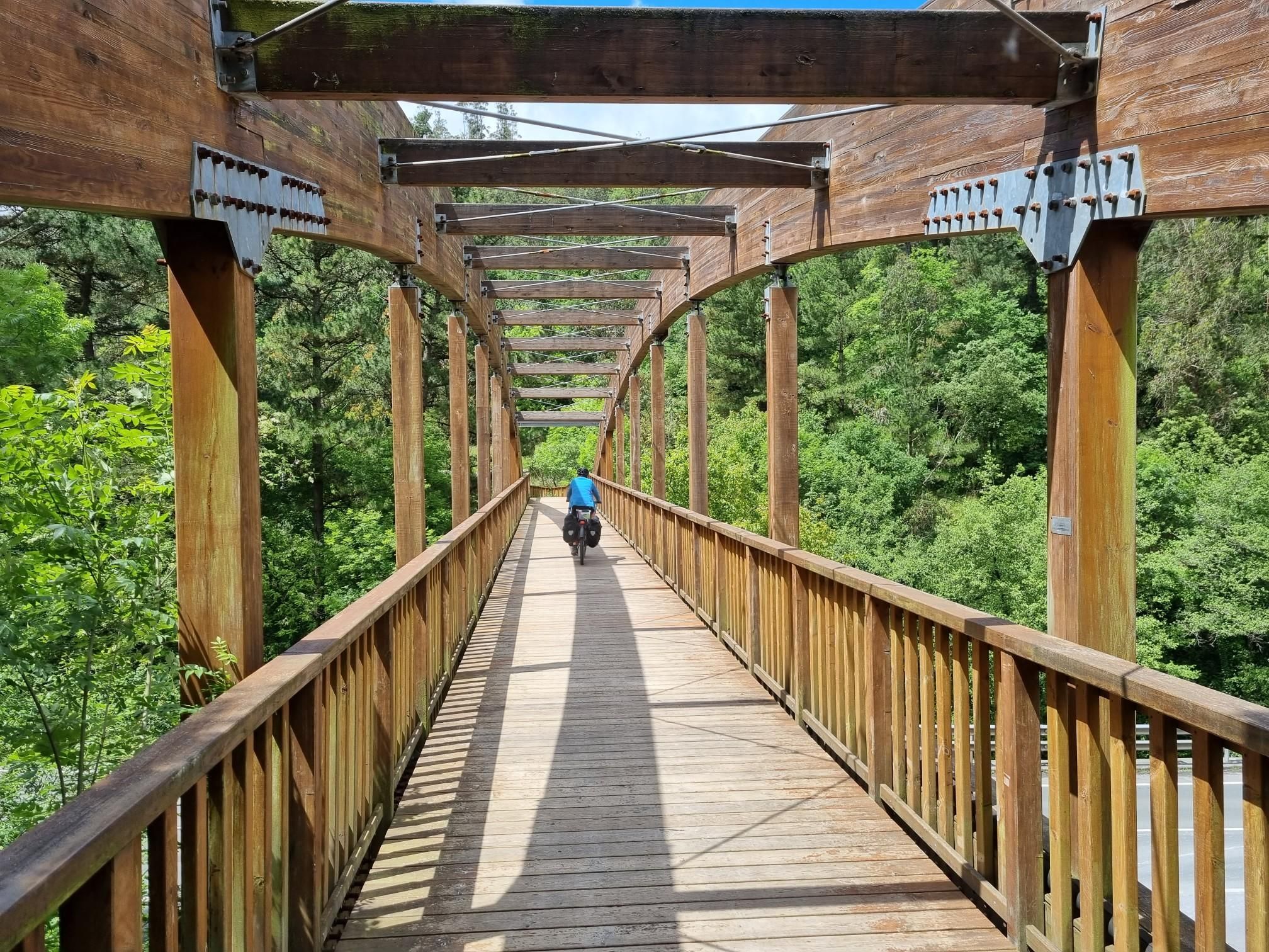
This beautiful stretch of the Montes de Hierro Greenway runs through a spectacular area of juicy and humid forest where the greenery explodes in all its splendor.
1
0

The top of Mount Ventoso is located at an altitude of 731 meters. Reaching it involves a short detour from the GR 123, but it is worth it for the beautiful views it offers of the surrounding mountains and the sea in the distance.
0
0

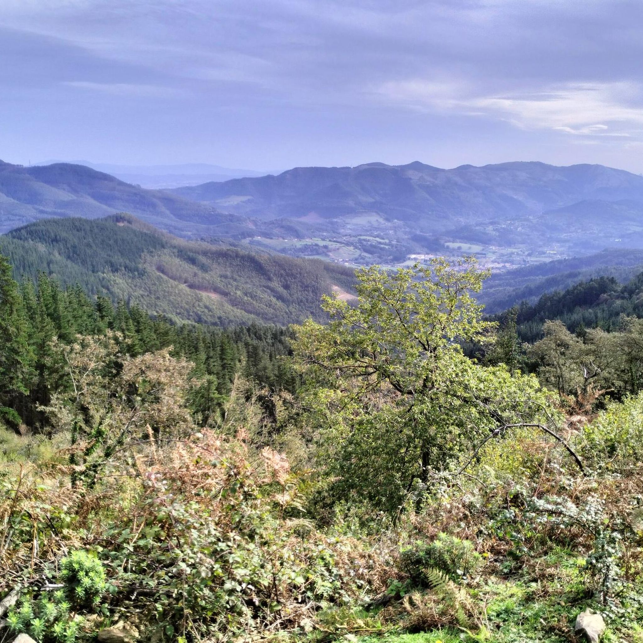
At 731 meters above sea level, the top of El Ventoso guarantees wonderful panoramic views of the entire interior of Cantabria and the Basque Country. It is a very popular site and certainly worth visiting.
1
0


The final ramp about 10' is hard...
1
0
Quiet and beautiful, recommended for road
0
0
Frequently Asked Questions
How many hiking trails are available in Sopuerta?
Sopuerta offers a wide selection of over 220 hiking routes, catering to various skill levels. You'll find everything from leisurely strolls to challenging mountain ascents.
Are there easy or beginner-friendly hiking routes in Sopuerta?
Yes, Sopuerta has over 60 easy hiking routes suitable for beginners or those looking for a relaxed walk. These trails typically feature gentler terrain and shorter distances, often winding through woodlands and open pastures.
What kind of terrain can I expect on Sopuerta's hiking trails?
The terrain around Sopuerta is diverse, characterized by rolling green hills, dense woodlands, and open pastures typical of the Vizcaya region. Many routes include ascents to summits, offering panoramic views, and you'll also find paths near the Ordunte Reservoir.
Are there any circular walks in Sopuerta?
Yes, the region's network of paths supports a variety of circular walks. For example, the Alen Summit – Betaio Summit (750 m) loop from Alen is a moderate 5.6-mile (9.0 km) trail that forms a loop through forested slopes and open ridges.
What can I see along the hiking trails in Sopuerta?
Hikers can explore various natural attractions. You might encounter beautiful lakes such as Pozo Hostión or the Lakes of the Old Iron Mines. The area also features impressive natural monuments and summits like Burgüeno Summit.
What is the best time of year to go hiking in Sopuerta?
Sopuerta's climate makes it suitable for hiking for much of the year. Spring and autumn offer pleasant temperatures and vibrant landscapes, while summer provides warmer conditions ideal for longer days. Even winter can be enjoyable, though some higher routes might require more preparation.
Are there any routes that offer views of the Ordunte Reservoir?
Yes, several routes provide views of the Ordunte Reservoir. A challenging option is the View of the Ordunte Reservoir – Burgüeno Summit loop from Balmaseda, which is a 15-mile (24.2 km) hike with significant elevation gain.
What do other hikers enjoy most about hiking in Sopuerta?
The area is highly rated by the komoot community, with an average score of 4.6 stars from over 800 reviews. Reviewers often praise the diverse landscape, the extensive forests, and the rewarding views from the various summits.
Are there any moderate hikes that offer panoramic views?
Yes, the Kolitza Parking – Refugio Kolitza loop from Balmaseda is a moderate 7.9-mile (12.8 km) path that ascends to Refugio Kolitza, providing excellent panoramic views of the surrounding area.
How long do hikes in Sopuerta typically take?
Hiking durations vary significantly depending on the route's length and difficulty. Easy trails might take a couple of hours, while more challenging routes like the Garbea and Kolitza Loop from Balmaseda can take over 6 hours to complete.
Are there any routes that pass by historical or religious sites?
Yes, some trails incorporate local landmarks. For instance, the Ermita de Santa Ana loop from Balmaseda is a moderate 6.5-mile (10.5 km) route that passes by the Ermita de Santa Ana, offering a glimpse into the region's heritage.
Most popular attractions around Sopuerta

Get inspired with the komoot mobile app


Explore more
Browse the best Hikes in other regions.
