The best road cycling routes around Atxondo
4.4
(139)
11,872
riders
122
rides
Road cycling routes around Atxondo are set within the scenic province of Bizkaia in the Basque Country, Spain. The region features green slopes and valleys, framed by impressive mountains like Anboto (1,331 m) and the Urkiola Natural Park. This area offers varied terrain, from gentle valley paths to challenging climbs with significant elevation gains. The landscape includes traditional farmhouses and views of the Durangaldea mountains.
Best road cycling routes around Atxondo
- The most popular road cycling route is Dima Village…
Last updated: July 25, 2026
5.0
(1)
391
riders
98.1km
05:02
1,560m
1,560m
Hard road ride. Very good fitness required. Some segments of this route may be unpaved and difficult to ride.
5.0
(1)
396
riders
109km
05:42
1,690m
1,690m
Hard road ride. Very good fitness required. Mostly well-paved surfaces and easy to ride.

Sign up for free
4.5
(4)
313
riders
49.7km
02:18
390m
390m
Moderate road ride. Good fitness required. Mostly well-paved surfaces and easy to ride.
4.5
(4)
278
riders
80.6km
04:25
1,360m
1,360m
Hard road ride. Very good fitness required. Mostly well-paved surfaces and easy to ride.
226
riders
83.2km
04:20
1,100m
1,100m
Hard road ride. Very good fitness required. Mostly well-paved surfaces and easy to ride.
Get access to more routes and recommendations from other explorers.
Sign up for free
Already have an account?
Our route recommendations are based on thousands of hikes, rides, and runs completed by other people on komoot.
Start today with a free account
Your next adventure awaits.
Login or Signup
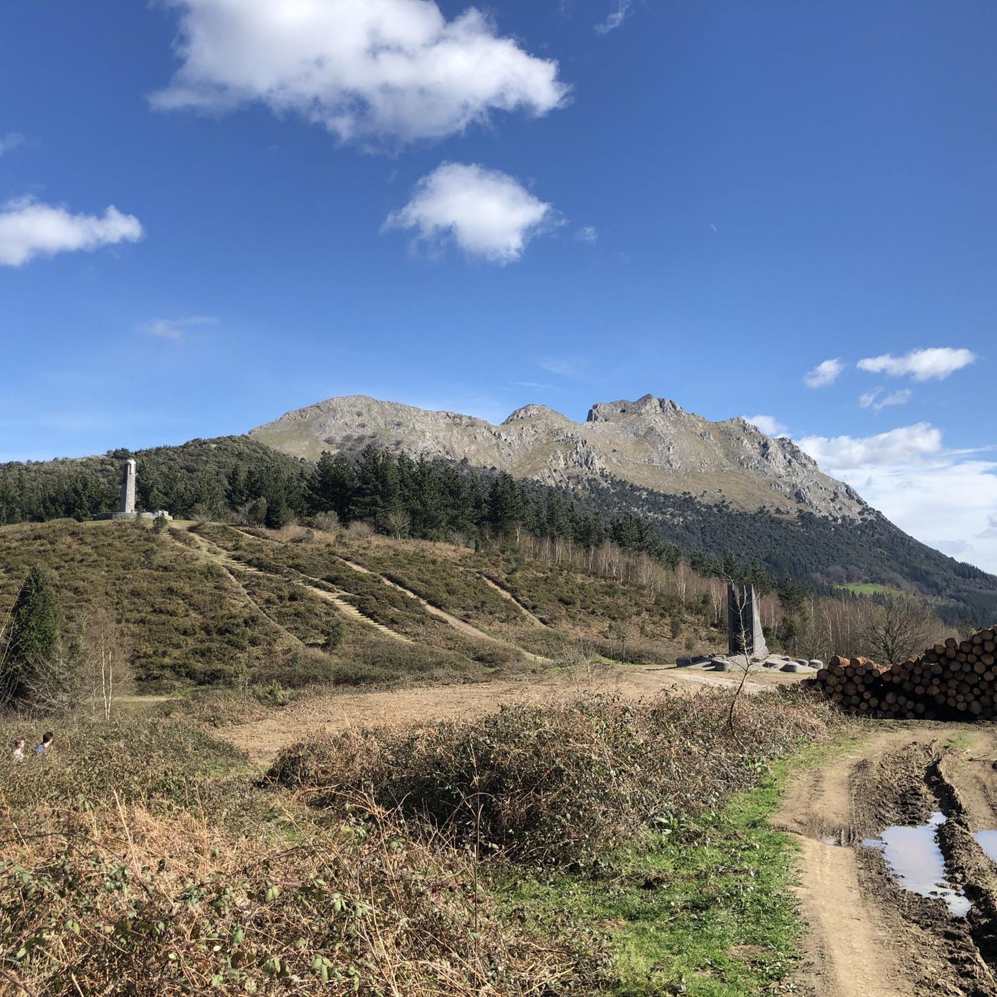
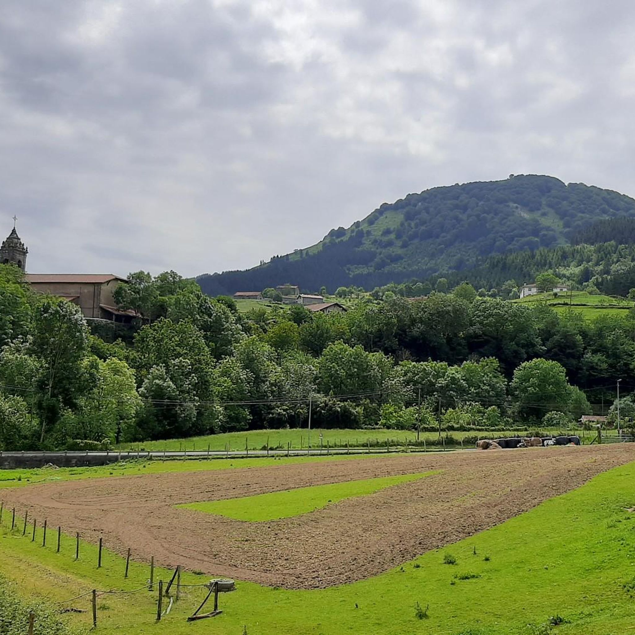
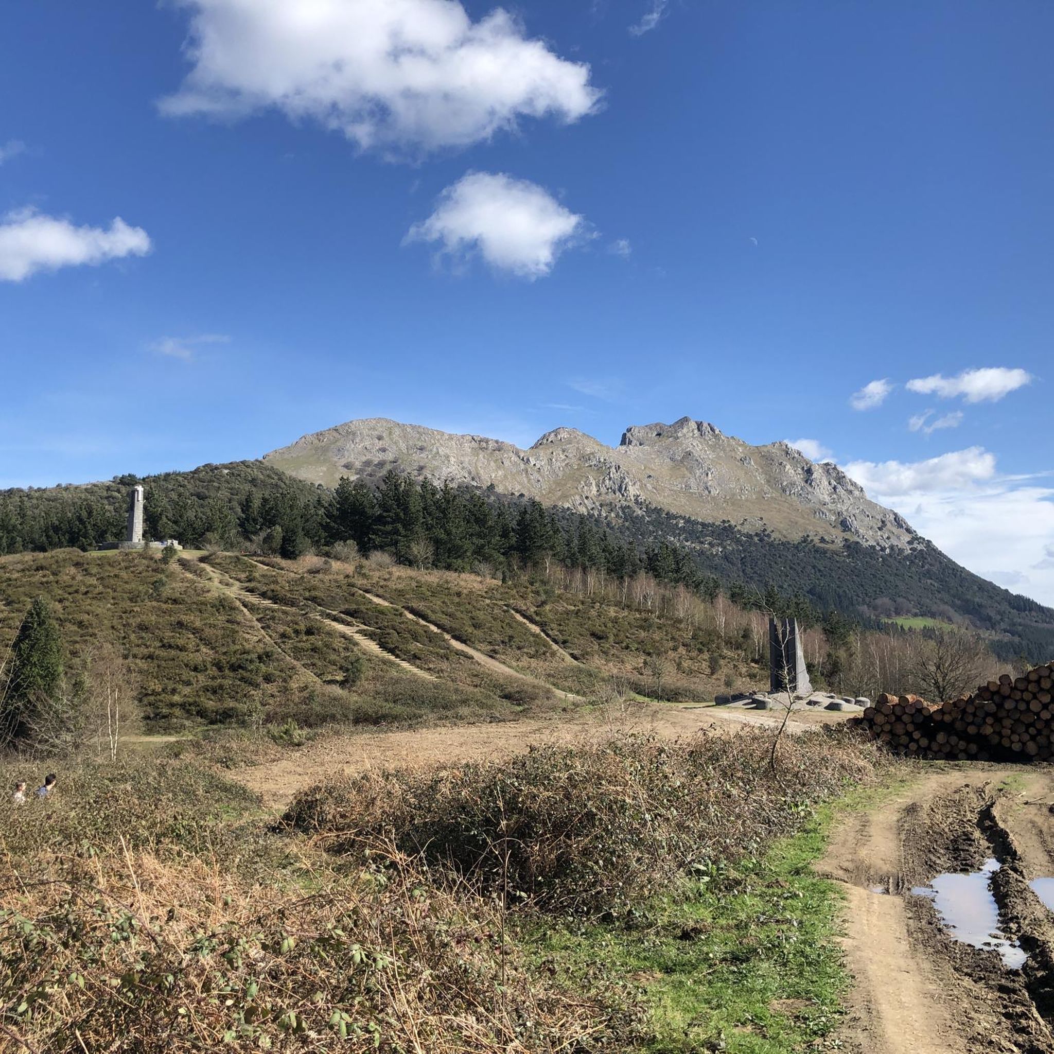
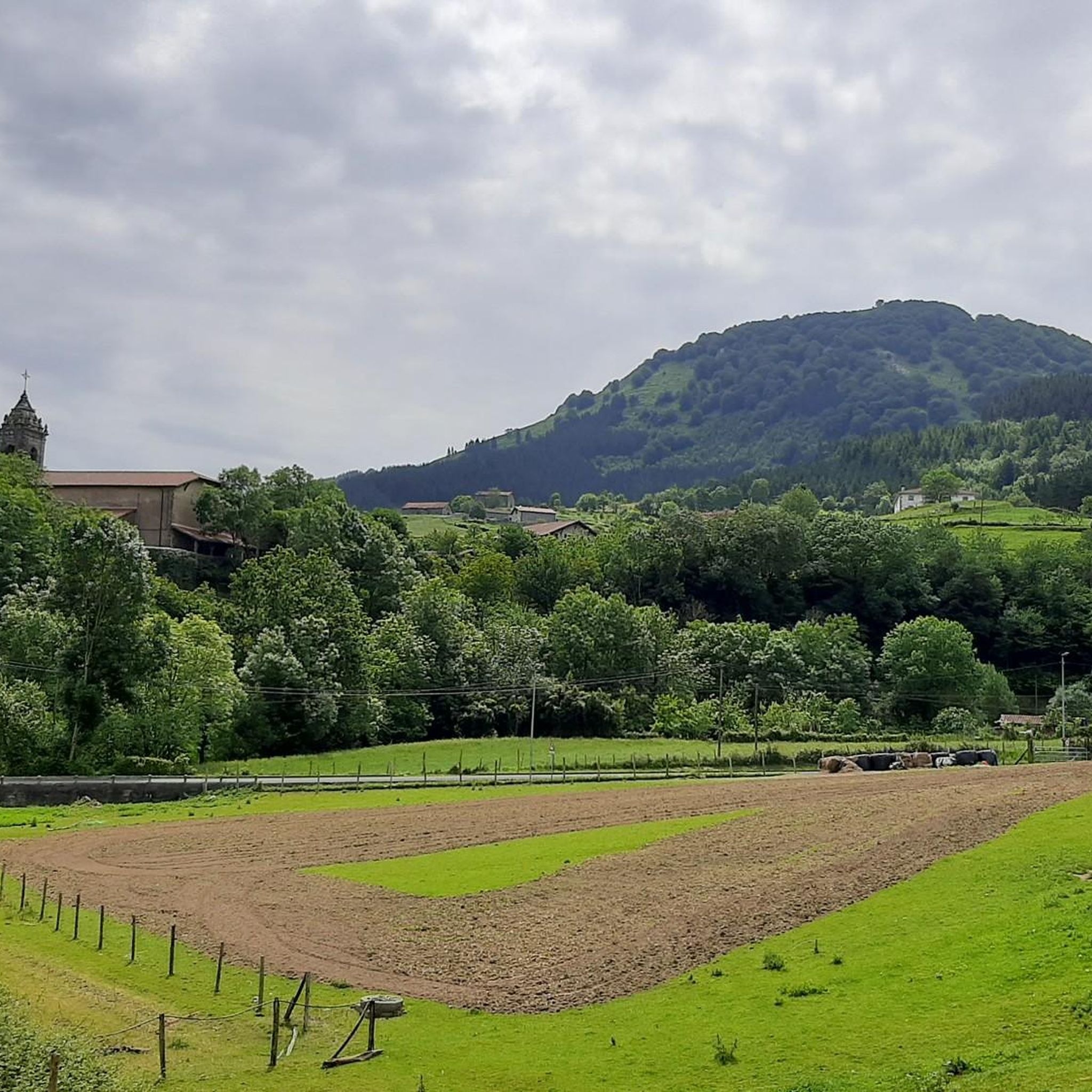


Tips from the Community

Long, gentle climb. 11km at approximately 5%
0
0

Long and fast road along the ocean, perfect tarmac and very smooth to ride
4
0

That is NOT A FOREST! It is a single plantation of eucalyptus. In reality it is a disaster painted green, green as hell.
0
0

Located in the center of San Miguel, on the outskirts of Amorebieta, the hermitage of San Miguel de Dudea. It should be noted that one of the entrances is decorated with diamond points.
0
0
Although there is little data about this church, it is believed that its origins date back to the 13th century. However, it has undergone subsequent expansions, since the bell tower dates back to the 18th century.
0
0


Montecalvo is located at an altitude of 381 meters, offering impressive views of the sea and Urdaibai on one side and Duranguesado on the other. The Muniketa road was the main communication route south through Durango until 1848, when the Autzagane road was improved.
1
0
Frequently Asked Questions
How many road cycling routes are available in Atxondo?
Atxondo offers a wide selection of road cycling routes, with over 100 tours available. These range from easier rides to very challenging routes, catering to various fitness levels.
What kind of terrain can I expect on road cycling routes in Atxondo?
The terrain in Atxondo is quite varied. You'll find everything from gentle valley paths through green slopes and valleys to demanding climbs in the surrounding mountains, including those within the rugged Urkiola Natural Park. The region is characterized by its impressive mountains like Mount Anboto, offering both scenic beauty and significant elevation changes.
Are there road cycling routes suitable for beginners or those looking for an easier ride?
Yes, Atxondo has options for all skill levels. There are 12 routes classified as easy, perfect for a more relaxed pace. For example, the Arrazola Cycling and Walking Trail, though not a specific komoot route listed here, is known for being mostly flat and ideal for leisurely rides, offering excellent views of Mount Anboto.
What are some of the more challenging road cycling routes in Atxondo?
For experienced cyclists seeking a challenge, Atxondo offers 50 difficult routes. A notable option is the Dima Village and Scenic Views – Alto de Dima loop from Traña, which covers nearly 100 km with significant elevation gain. Another demanding route is the Artzubi Bridge – Balcón de Bizkaia Viewpoint loop from Berriz, leading through mountainous terrain to a stunning viewpoint.
What natural landmarks or viewpoints can I see along the road cycling routes?
Road cycling in Atxondo offers numerous scenic highlights. You can enjoy views of the majestic Mount Anboto, often referred to as the 'home of the goddess Mari,' and the dramatic landscapes of the Urkiola Natural Park. Routes often pass by traditional farmhouses and offer panoramic vistas of the Durangaldea mountains. The Balcón de Bizkaia Viewpoint is a particularly rewarding destination for its expansive views.
Are there any circular road cycling routes in Atxondo?
Yes, many of the road cycling routes in Atxondo are designed as loops, allowing you to start and end in the same location. Examples include the View of Anboto from Atxondo loop from Traña and the Mendata Village loop from Berriz, providing convenient options for exploring the region.
What do other road cyclists enjoy most about road cycling in Atxondo?
The road cycling experience in Atxondo is highly rated by the komoot community, with an average score of 4.3 stars from over 60 reviews. Cyclists often praise the region's varied terrain, from green valleys to challenging mountain climbs, and the picturesque journeys through charming rural neighborhoods with historical farmhouses. The stunning views of mountains like Anboto are also frequently highlighted.
Is Atxondo a good destination for family-friendly road cycling?
While many routes involve significant climbs, there are options suitable for families, particularly the easier routes. The Arrazola Cycling and Walking Trail, for instance, is known for being mostly flat and features rest areas, making it ideal for a leisurely family ride. When planning, look for routes with lower elevation gain and shorter distances.
When is the best time of year for road cycling in Atxondo?
The Basque Country generally offers pleasant conditions for cycling from spring through autumn. The green landscapes are particularly vibrant in spring, while summer provides warmer temperatures. Autumn brings beautiful foliage. While specific weather patterns vary, avoiding the peak heat of mid-summer afternoons and potential winter rain or colder temperatures will enhance your experience.
Are there places to eat or stay for cyclists in Atxondo?
Yes, Atxondo and its surrounding villages offer various amenities. The area is known for its gastronomy, including the Michelin-starred Asador Etxebarri. You'll find cafes, pubs, and accommodation options in charming rural neighborhoods like Apatamonasterio, Axpe, and Arrazola, providing convenient stops for refreshments or overnight stays.
What are some other points of interest or activities near the road cycling routes?
Beyond cycling, Atxondo offers a rich cultural and natural experience. You can explore historical farmhouses, some dating back to the 16th and 17th centuries, and visit churches like San Pedro in Apatamonasterio. The region is also popular for hiking, with trails leading to summits like Anboto and Alluitz. There are also several beautiful reservoirs nearby, such as the Aixola Reservoir and Albina Reservoir.
Is public transport available to reach Atxondo for cyclists?
While specific public transport options for cyclists carrying bikes can vary, Atxondo is situated in the province of Bizkaia, which has a regional transport network. For detailed information on routes and bike carriage policies, it's advisable to check local bus or train services connecting to towns within the Durangaldea region, such as Durango, which is a larger hub near Atxondo.
Most popular routes around Atxondo
Most popular attractions around Atxondo

Get inspired with the komoot mobile app


Explore more
Browse the best Road cycling routes in other regions.
