The best walks and hikes around Teo
4.4
(516)
3,012
hikers
18
hikes
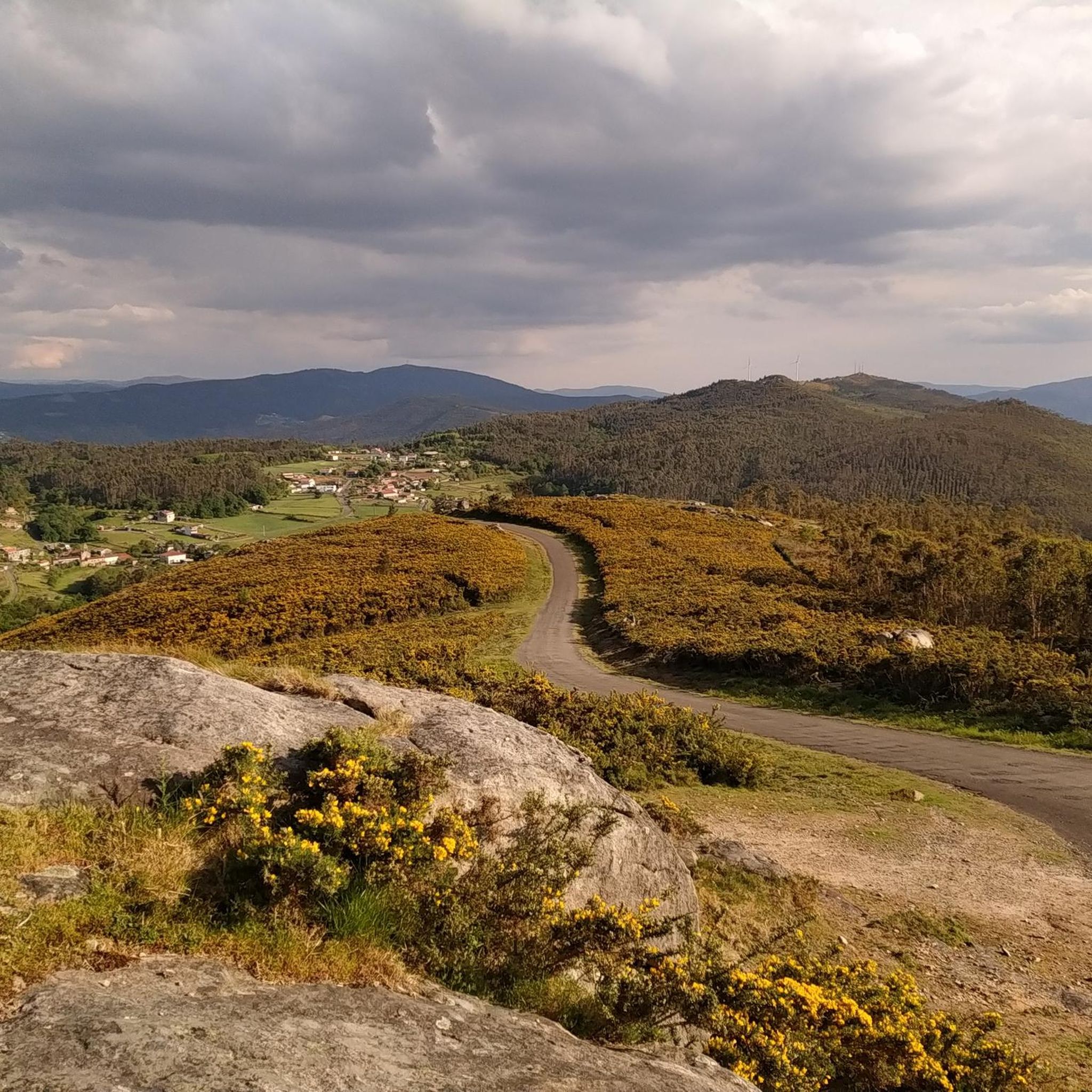
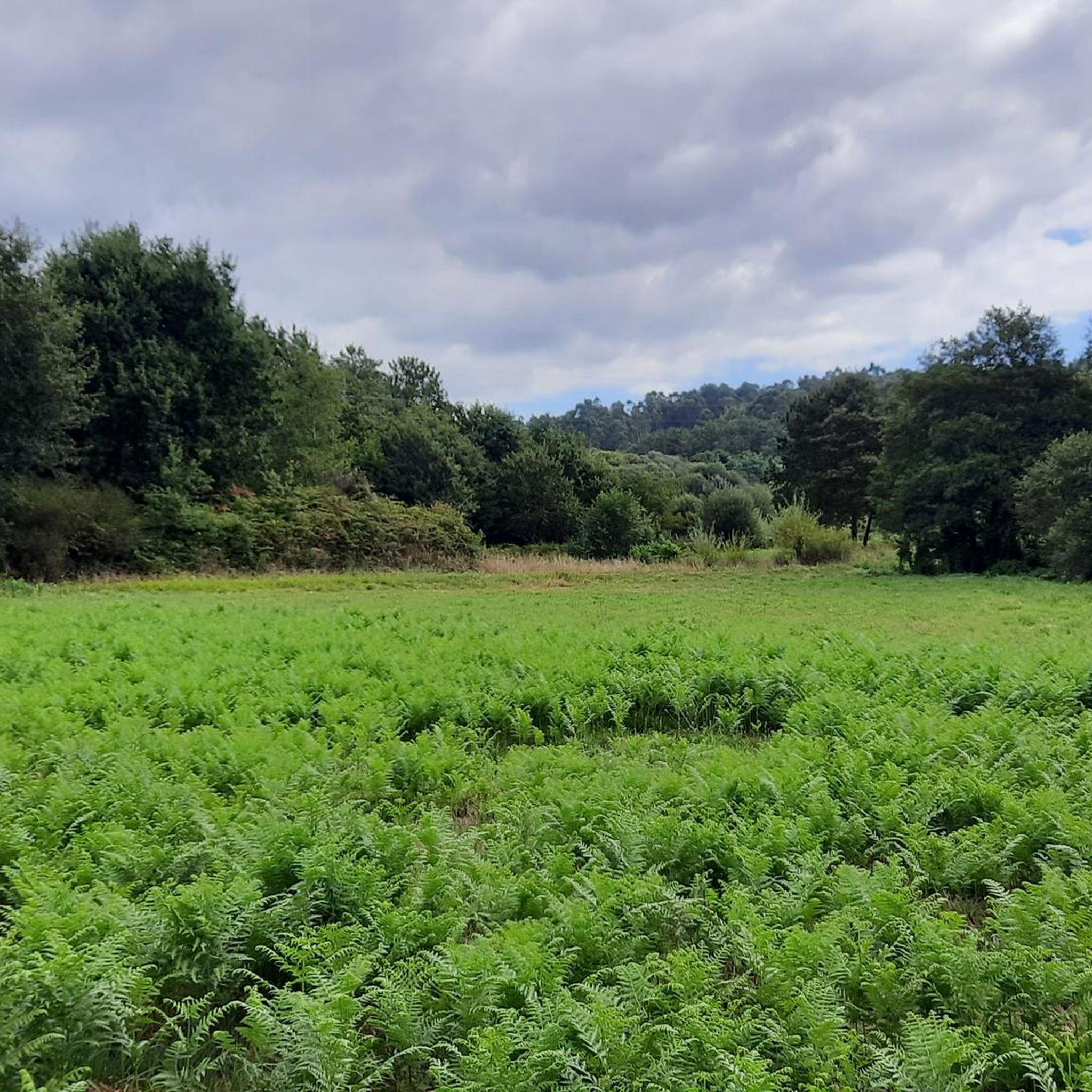
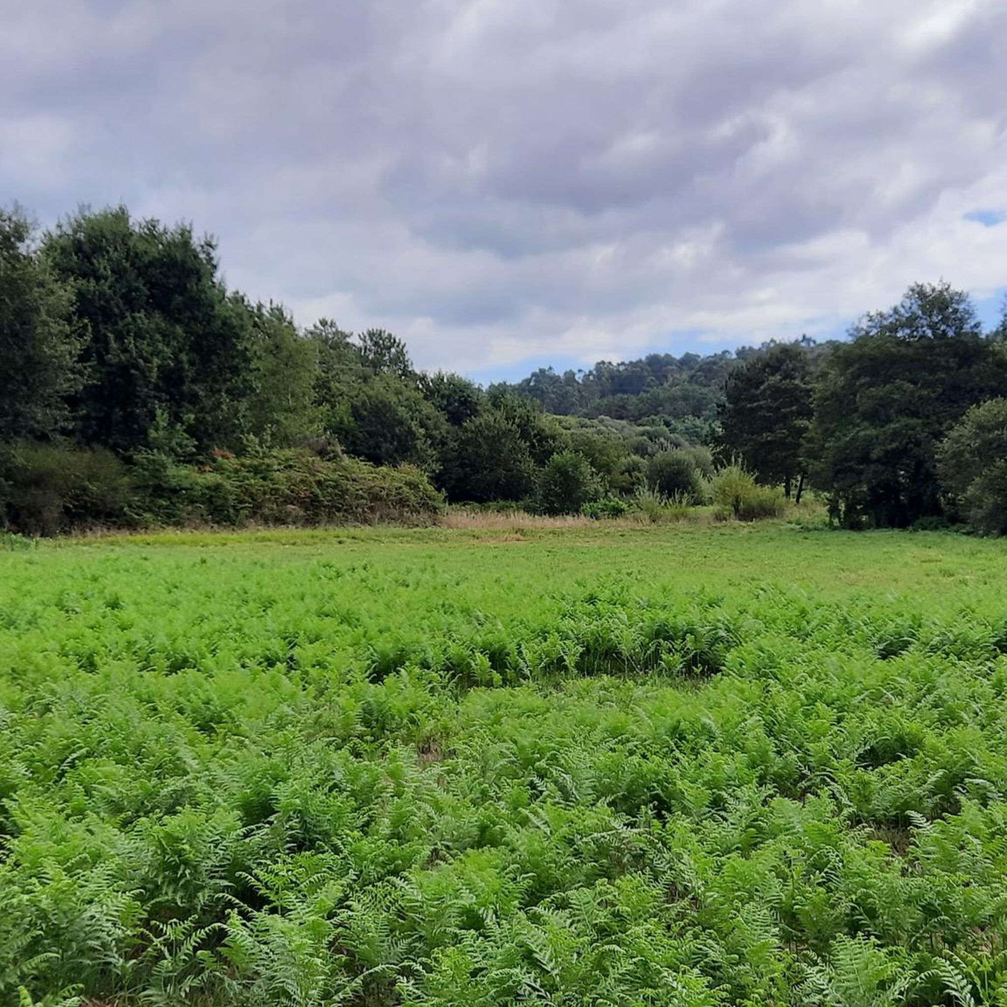
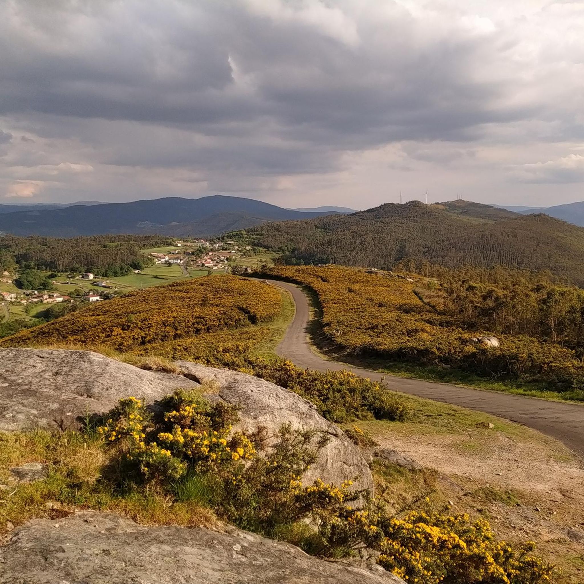
Hiking around Teo offers trails primarily characterized by riverine landscapes and gentle elevations. The region features routes along the Río Ulla and near historical structures like the Pontevea Medieval Bridge. Terrain generally includes paths through rural areas and along waterways, with moderate elevation changes. This makes the area suitable for hikers seeking accessible routes with natural and cultural points of interest.
Best hiking trails around Teo
- The most popular hiking route is Río Ulla – Xirimbao trail, a 4.1…
Last updated: November 2, 2026
3.8
(4)
8
hikers
6.55km
02:06
80m
80m
Moderate hike. Good fitness required. Easily walkable paths.
4.9
(10)
67
hikers
6.21km
01:36
30m
30m
Easy hike. Easily walkable paths.

4.9
(10)
71
hikers
9.23km
02:23
40m
40m
Moderate hike. Good fitness required. Easily walkable paths.
4.5
(4)
6
hikers
12.4km
03:33
270m
270m
Moderate hike. Good fitness required. Easily walkable paths.
5.0
(2)
20
hikers
9.97km
02:39
110m
110m
Moderate hike. Good fitness required. Easily walkable paths.
Get access to more routes and recommendations from other explorers.
Already have an account?
Our route recommendations are based on thousands of hikes, rides, and runs completed by other people on komoot.
Start today with a free account
Your next adventure awaits.

Tips from the Community

It's on the Camino and is easiest to walk to. Visit this double towered church to pray at it's well adorned altar and healing water.
0
1


Y right tlgerik drive e his time garden against t so and d rack g then you
0
0

Unfortunately, it was locked here too. I would have taken a look inside.
1
0

Church, the construction of which began in the 16th century directly at the so-called "Fonte Santa" or "holy spring". Its most important elements are the central staircase above the spring and the two large towers (19th century, on either side of the nave). According to legend, in 1582 the priest of Cruces had a stone sculpture of the Virgin Mary and Child made in gratitude for not being killed by a falling tree. The sculpture was placed right next to a nearby spring. In 1732, many years later, a sick man from O Salnés, on his way to Santiago to be treated for his illness, drank from the spring and asked Our Lady for help. Three days later he was healed. The event attracted many devout people in search of healing and generated plenty of donations. The church was built with all the proceeds from the donations. Inside the church, altarpieces, one of which is painted gold, pictures and wall paintings depict the events that led to the construction of the church.
5
0
Iglesia Church. Unfortunately closed.
1
0
Older but closed church ⛪️
1
0
Frequently Asked Questions
What kind of terrain and elevation can I expect on hiking trails around Teo?
Hiking around Teo primarily features riverine landscapes and gentle elevations. You'll find paths through rural areas and along waterways like the Río Ulla, with generally moderate elevation changes. This makes the area suitable for accessible routes.
Are there any easy hiking trails suitable for beginners or casual walkers in Teo?
Yes, Teo offers several easy routes. For instance, the Pontevea Medieval Bridge loop from Pontevea is an easy 4.0-mile (6.4 km) path with minimal elevation gain, perfect for a relaxed stroll.
What are some notable natural features or landmarks I might see while hiking in Teo?
Many trails in Teo follow the scenic Río Ulla, offering beautiful river views. You can also explore historical structures like the Pontevea Medieval Bridge. Beyond the immediate trails, nearby attractions include peaks like Monte Pedroso and Pico Sacro, and cultural sites such as the Santiago de Compostela Cathedral.
Are there any circular hiking routes available in Teo?
Yes, Teo has several circular routes. A popular option is the Pontevea Medieval Bridge – Donkeys loop from Pontevea, which is a 7.1-mile (11.5 km) trail leading through river valleys and rural paths.
What do other hikers enjoy most about the trails in Teo?
The trails in Teo are highly rated by the komoot community, with an average score of 4.5 stars from over 400 reviews. Hikers often praise the beautiful river paths, the historical charm of the bridges, and the gentle, accessible nature of the rural landscapes.
How many hiking trails are there in the Teo region?
There are 19 hiking routes available in the Teo region, offering a variety of experiences from easy strolls to moderate excursions.
Are the hiking trails in Teo suitable for families with children?
Given the gentle elevations and accessible paths, many routes in Teo are suitable for families. Easy trails like the Pontevea Medieval Bridge loop from Pontevea are particularly good for walks with children.
Can I bring my dog on the hiking trails in Teo?
While specific regulations can vary, many rural and riverine paths are generally dog-friendly. It's always recommended to keep dogs on a leash and ensure you clean up after them to respect the natural environment and other hikers.
What is the typical duration and distance for hikes in Teo?
Hikes in Teo vary in duration and distance. For example, the Río Ulla – Xirimbao trail is about 4.1 miles (6.6 km) and takes around 2 hours to complete, while the Pontevea Medieval Bridge – Donkeys loop from Pontevea is 7.1 miles (11.5 km) and typically takes about 3 hours 17 minutes.
Are there any cafes or pubs near the hiking areas in Teo?
As Teo features rural paths and historical villages, you can often find local cafes or pubs in the nearby towns and villages, especially around popular starting points like Pontevea. These offer opportunities for refreshments before or after your hike.
Is parking available at the trailheads in Teo?
For routes originating from villages or specific points of interest like the Pontevea Medieval Bridge, you can typically find parking facilities in the vicinity. It's advisable to check specific trail information for designated parking areas.
What is the best time of year to go hiking in Teo?
Teo's riverine and rural landscapes are enjoyable throughout much of the year. Spring and autumn offer pleasant temperatures and vibrant scenery, while summer can be warm but still suitable for early morning or late afternoon hikes. Winter can also be an option, though some paths might be muddier.
Most popular attractions around Teo

Get inspired with the komoot mobile app


Explore more
Browse the best Hikes in other regions.
