The best walks and hikes around Valdemorillo
4.4
(108)
550
hikers
25
hikes
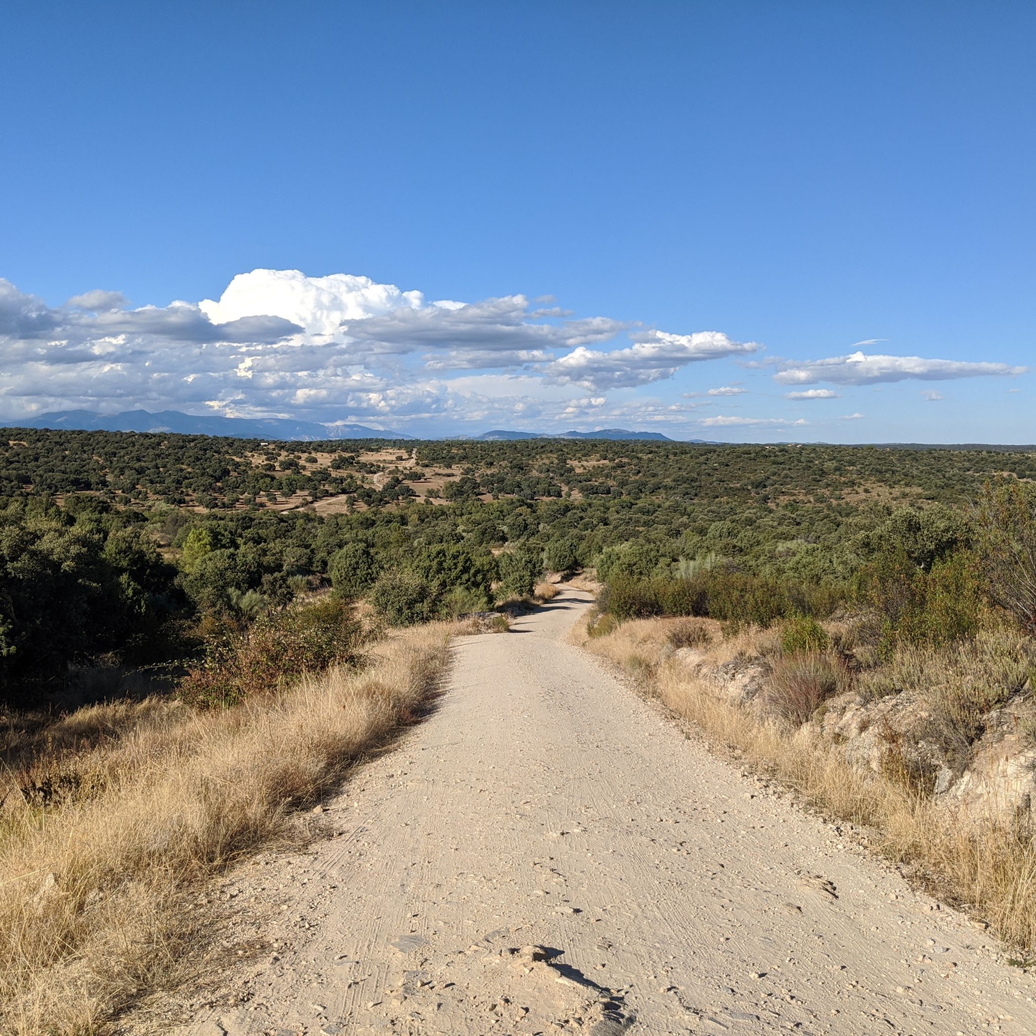
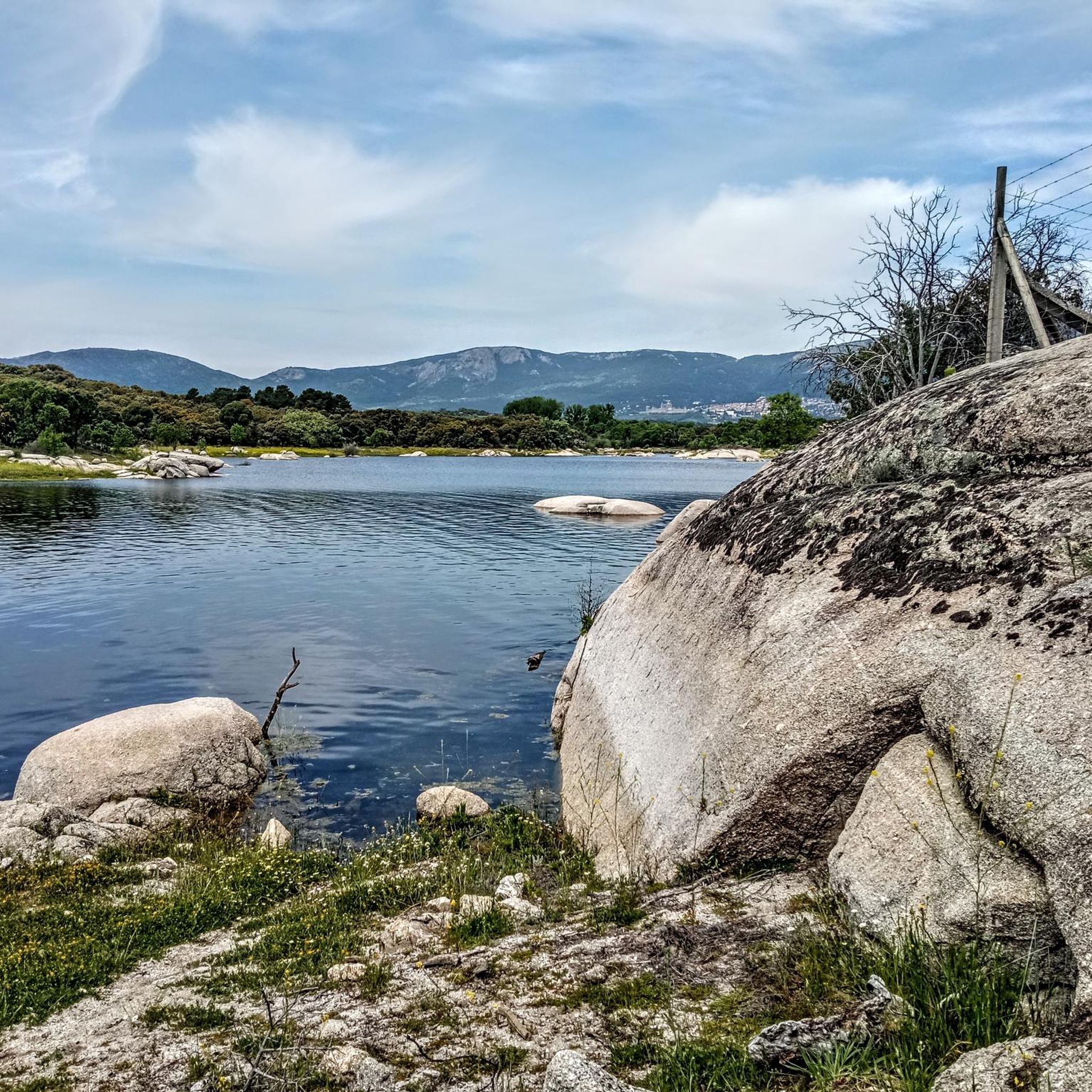
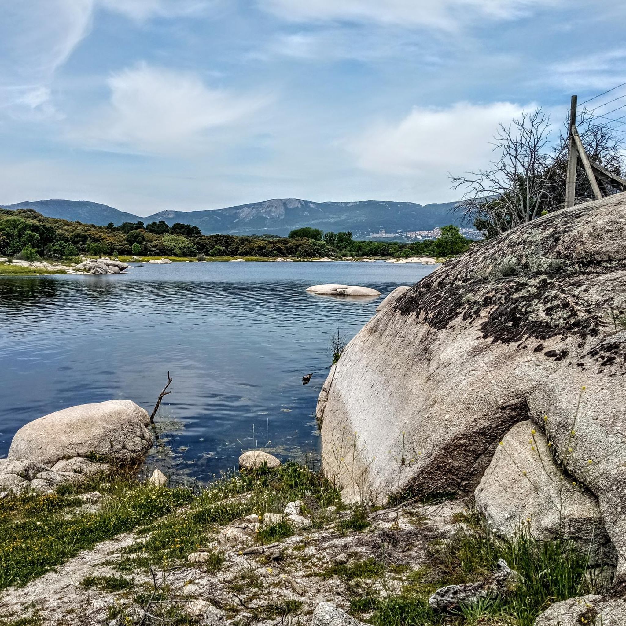
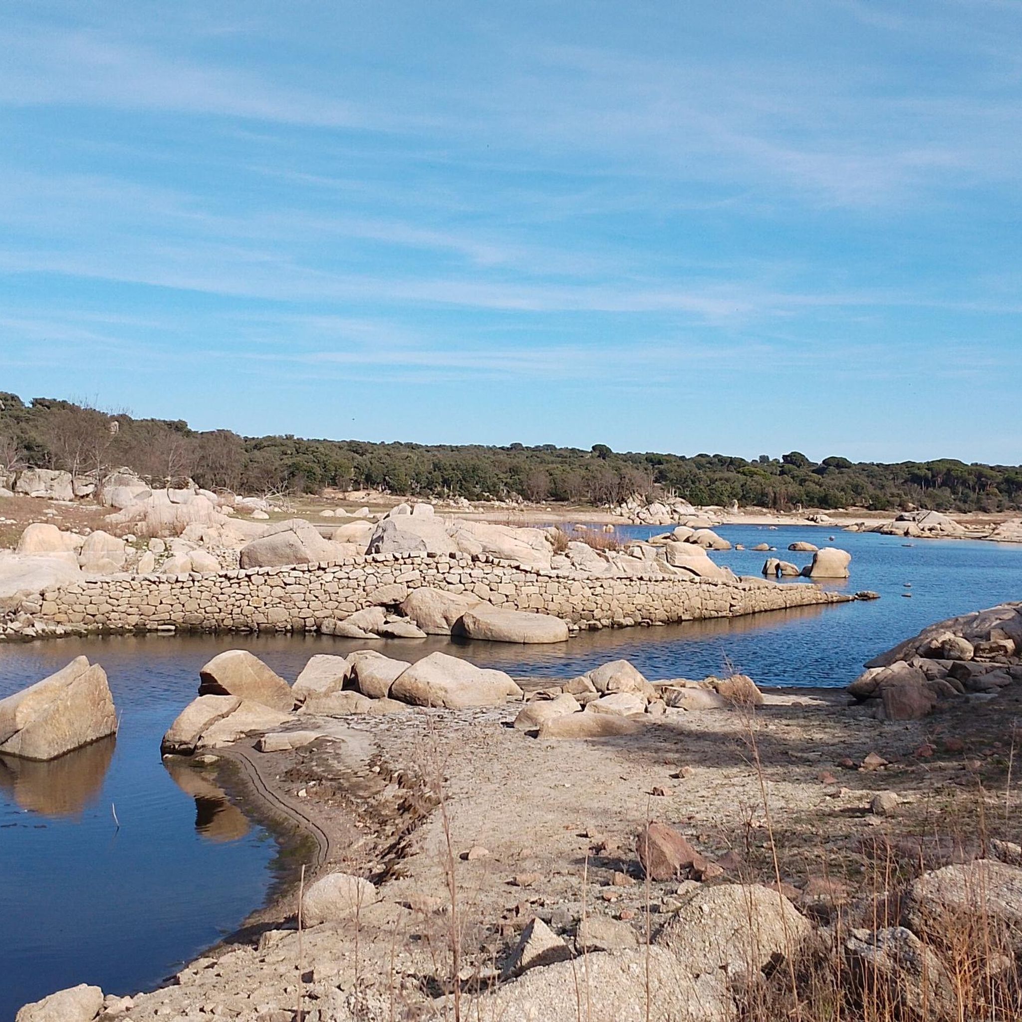
Hiking around Valdemorillo offers diverse landscapes for outdoor enthusiasts, situated west of Madrid. The region is characterized by extensive oak and pine forests, significant reservoirs like Valmayor and Cerro Alarcón, and the Guadarrama River's middle course. Its terrain includes varied elevations, from river valleys to the granite masses of the Sierra de Guadarrama, providing a range of hiking experiences.
Best hiking trails around Valdemorillo
- The most popular hiking route is Route of the Mills of the Perales River, a…
Last updated: August 3, 2026
4.8
(17)
132
hikers
5.20km
01:26
90m
90m
Easy hike. Great for any fitness level. Easily-accessible paths. Suitable for all skill levels.
4.4
(7)
20
hikers
6.53km
01:50
130m
130m
Moderate hike. Great for any fitness level. Mostly accessible paths. Sure-footedness required.

Sign up for free
3
hikers
22.7km
06:26
500m
500m
Hard hike. Very good fitness required. Mostly accessible paths. Sure-footedness required.
1
hikers
8.01km
02:15
170m
170m
Moderate hike. Good fitness required. Easily-accessible paths. Suitable for all skill levels.
4.2
(5)
22
hikers
12.3km
03:31
290m
290m
Moderate hike. Good fitness required. Easily-accessible paths. Suitable for all skill levels.
Get access to more routes and recommendations from other explorers.
Sign up for free
Already have an account?
Our route recommendations are based on thousands of hikes, rides, and runs completed by other people on komoot.
Start today with a free account
Your next adventure awaits.
Login or Signup

Tips from the Community

Stone bridge to cross the Aulencia River.
0
0

Am I also in I Het Loo k
0
0
Crossroads to reach Villanueva del Pardillo or Colmenarejo, with beautiful views.
1
0
If you don't want to cross the narrow bridge you will have to cross the Aulencia River, which at this point is almost always full of water and will get your feet wet.
0
0

The function of this type of chimneys is to act as pressure relief valves in hydraulic systems. In this case, it is located in the canal that carries water from the Picadas reservoir to the station that treats drinking water in Majadahonda.
1
0
This cave-shelter served as anti-aircraft protection during the Spanish Civil War. It belonged to the Republican side, and its strategic location against the hill made bombing difficult. It was built with pick and shovel after the Battle of Brunete.
0
0
When the Aulencia River brings a lot of water, unless you want to get very wet (and it can also be dangerous), you will not be able to cross this section. Detouring a little to the west you can find a narrow bridge-walkway through which you can cross without problems.
1
0
This curious name is how cyclists and hikers in the area refer to this entertaining path that follows the course of the Aulencia River from the dam. It has it all: narrow parts, some sections with more lush vegetation, stone walls...
1
0
Frequently Asked Questions
How many hiking trails are available around Valdemorillo?
Valdemorillo offers a wide variety of hiking experiences, with over 25 distinct trails recorded. These routes cater to different preferences, ranging from easy strolls to more challenging treks through diverse landscapes.
What kind of terrain can I expect on hikes in Valdemorillo?
The terrain around Valdemorillo is quite varied, characterized by extensive oak and pine forests, scrubland, and riparian forests along rivers. You'll encounter significant reservoirs like Valmayor and Cerro Alarcón, and the landscape includes varied elevations, from river valleys to the granite masses of the Sierra de Guadarrama. This diversity provides a rich and engaging hiking experience.
Are there hiking options for all skill levels in Valdemorillo?
Yes, Valdemorillo provides hiking options suitable for all skill levels. There are 9 easy routes perfect for a relaxed walk, 15 moderate trails for those seeking a bit more challenge, and 1 difficult route for experienced hikers looking for a strenuous adventure.
Are there many circular hiking routes in Valdemorillo?
Valdemorillo features several excellent circular hiking routes. For example, the Route of the Mills of the Perales River is an easy 5.2 km loop. Another popular option is the moderate Cerro Alarcón Reservoir and Puente del Pasadero Loop, which covers 6.5 km. You can also explore the Valdemorillo Civil War Cave and Picadas Canal Loop, an 8 km moderate route.
Are there family-friendly hiking trails in Valdemorillo?
Absolutely! Valdemorillo offers several family-friendly trails, particularly the easy routes. The Route of the Mills of the Perales River is a great choice, being an easy 5.2 km path that allows families to explore historic mills and a bridge along the Perales River. These trails are generally well-maintained and suitable for children.
Can I bring my dog on the hiking trails in Valdemorillo?
Many of the hiking trails in Valdemorillo are suitable for dogs, allowing you to enjoy the natural beauty with your canine companion. It's always recommended to keep your dog on a leash, especially in areas with wildlife or near livestock, and to carry waste bags to maintain the cleanliness of the trails.
What natural features or landmarks can I see while hiking in Valdemorillo?
Valdemorillo's hikes offer views of significant natural features and landmarks. You can explore the serene Valmayor Reservoir or the picturesque Cerro Alarcón Reservoir. Trails also lead through extensive oak and pine forests. For panoramic views, some routes offer glimpses of the Mount Abantos and even the Seat of Philip II, providing historical context to the stunning landscapes.
Are there any historical sites to explore on the trails?
Yes, Valdemorillo's trails weave through areas rich in history. You can discover historic mills along the Perales River, and the Cerro Alarcón Reservoir and Puente del Pasadero Loop features the historic Puente del Pasadero. The Valdemorillo Civil War Cave and Picadas Canal Loop allows exploration of Civil War caves. Additionally, nearby attractions include Aulencia Castle and the Retamar Bridge.
When is the best time of year to go hiking in Valdemorillo?
The best times to go hiking in Valdemorillo are typically spring (April to June) and autumn (September to November). During these seasons, the weather is mild and pleasant, with comfortable temperatures for outdoor activities. Summer can be very hot, while winter might bring colder temperatures, though hiking is still possible on clear days.
Is parking available at the trailheads in Valdemorillo?
While specific parking details vary by trailhead, Valdemorillo is generally accessible by car, and you can often find parking areas near the starting points of popular routes. It's advisable to check local signage for any restrictions or designated parking zones before your hike.
What do other hikers enjoy the most about hiking in Valdemorillo?
The hiking routes in Valdemorillo are highly rated by the komoot community, with an impressive average score of 4.5 stars from over 100 reviews. Hikers often praise the region's diverse landscapes, including the extensive oak forests and the scenic views around the reservoirs. The variety of trails, from easy riverside walks to more challenging canyon routes, is also frequently highlighted.
Are there any trails that offer views of Madrid?
Yes, some trails in the Valdemorillo area provide unique viewpoints where you can catch glimpses of Madrid in the distance. The View of Madrid – Aulencia River Dam loop from Cruz de los Terrerros is a moderate 12.3 km circular hike specifically known for offering such views, alongside the Aulencia River Dam.
Most popular routes around Valdemorillo
Most popular attractions around Valdemorillo

Get inspired with the komoot mobile app


Explore more
Browse the best Hikes in other regions.
