The best running trails around Mata De Cuéllar
4.8
(4)
40
runners
7
runs
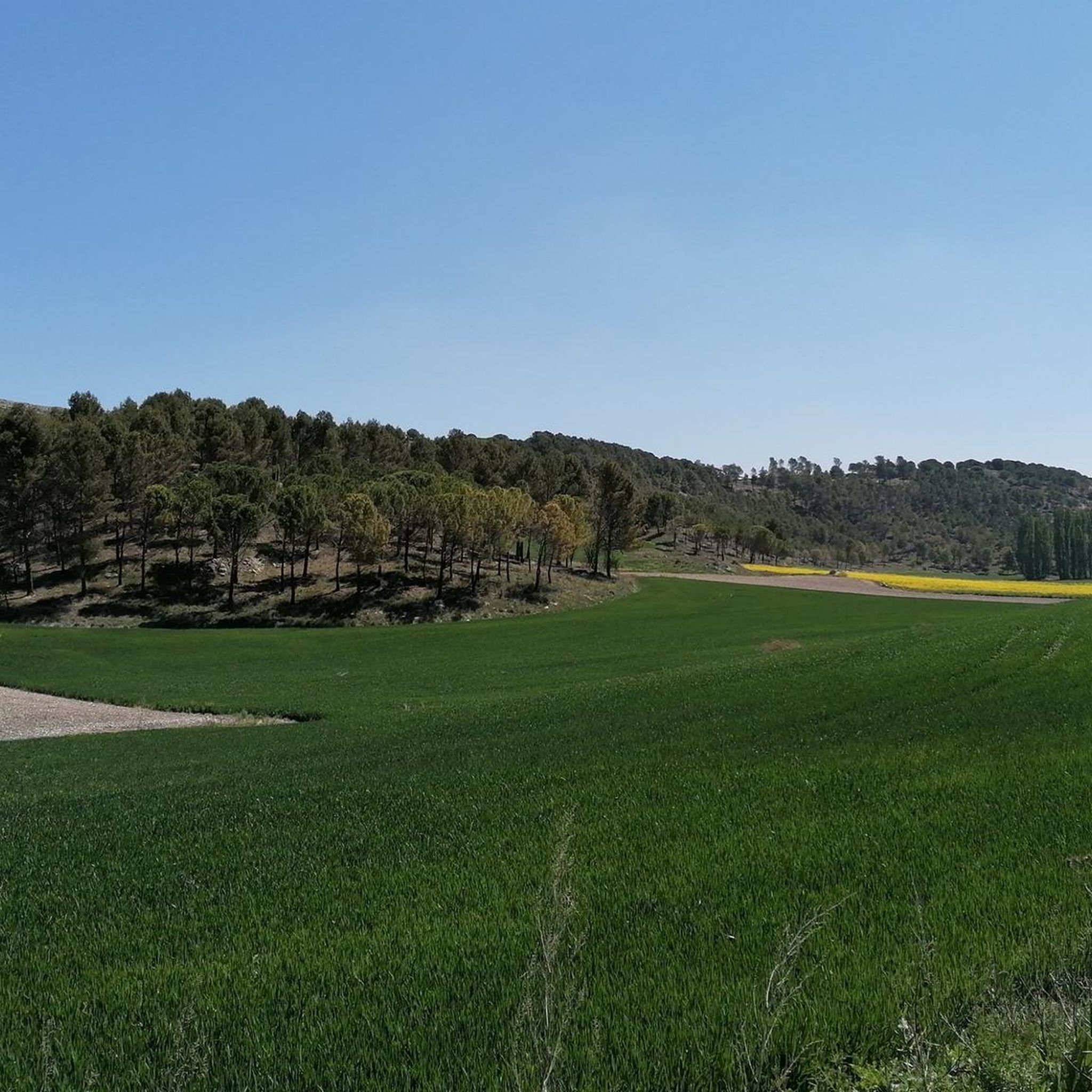
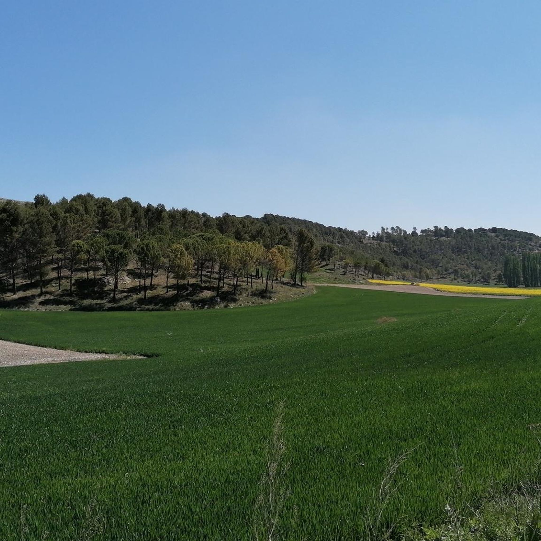
Jogging routes around Mata De Cuéllar are set within Spain's Segovia province, characterized by its natural landscapes. The Cega River flows through the area, creating riparian zones and shaping the local topography. Extensive pine forests, part of the "Tierra de Pinares" region, offer shaded trails. The terrain includes gentle hills and flat riverbank paths, providing varied options for running.
Best jogging routes around Mata De Cuéllar
- The most popular jogging route is Íscar Castle – Pico de la Muela loop from Íscar, an 11.1 miles (17.9 km) trail that takes about 2 hours to complete. This route features a significant elevation gain and views of Íscar Castle.
- Another top favourite among local runners is Mirador de Julin – Pico del Águila Viewpoint loop from Carrevieja, a moderate 8.2 miles (13.2 km) path. This route offers panoramic views from viewpoints and explores the surrounding landscape.
- Local runners also love the Resina Trail loop from PRC-VA 38 Senda de la Resina, a 4.9 miles (7.9 km) trail leading through pine forests, often completed in about 50 minutes.
- Jogging around Mata De Cuéllar is defined by pine forests, riverbanks along the Cega River, and gentle hills. The network offers options for different ability levels, from moderate paths to more challenging routes.
- The routes in Mata De Cuéllar are highly rated by the komoot community with an average score of 5.0 stars from more than 1 review. More than 30 runners have used komoot to explore Mata De Cuéllar's varied terrain.
Last updated: November 11, 2026
22
runners
17.8km
01:59
320m
320m
Hard run. Very good fitness required. Mostly paved surfaces.
4
runners
13.2km
01:37
80m
80m
Moderate run. Good fitness required. Mostly paved surfaces.

4.7
(3)
4
runners
7.95km
00:50
20m
20m
Moderate run. Good fitness required. Mostly paved surfaces.
4
runners
11.7km
01:17
30m
30m
Moderate run. Good fitness required. Mostly paved surfaces.
2
runners
10.7km
01:18
50m
50m
Moderate run. Good fitness required. Mostly paved surfaces.
Get access to more routes and recommendations from other explorers.
Already have an account?
Our route recommendations are based on thousands of hikes, rides, and runs completed by other people on komoot.
Start today with a free account
Your next adventure awaits.


Tips from the Community

Very good singletrack trails in the woods to get to this point.
1
0

The strategic town of Íscar in the region of Tierra de Pinares. The city has a defensive castle on top of a hill that dominates the city and the landscape around it with a history of Moorish and Christian heritage.
1
1

Viewpoint to the plain and agricultural fields around Megeces and to the forests of Mount Saint Marugan.
2
0

Next to the river Cega and the river Pirón the beautiful path of La Resina advances. A circular route of about 8 km that begins in the recreational area of Puente Blanca.
0
0
Frequently Asked Questions
What kind of terrain can I expect on the running routes around Mata de Cuéllar?
The running routes in Mata de Cuéllar offer a diverse landscape. You'll find extensive pine forests, part of the "Tierra de Pinares" region, providing shaded, soft-surface trails. The Cega River flows through the area, creating lush riparian zones with flat, picturesque paths along its riverbanks. The region also features gentle hills and unique geological formations, offering varied options for your run.
Are there any easy or beginner-friendly jogging routes in the area?
While the guide primarily lists moderate to difficult routes, the region is known for trails "sin grandes desniveles" (without large inclines), particularly along the Cega River. For a moderate option that's not too long, consider the Running loop from Vallelado, which covers 5.7 km with minimal elevation gain.
What are the more challenging running trails available near Mata de Cuéllar?
For a more challenging experience, the Íscar Castle – Pico de la Muela loop from Íscar is a difficult 17.9 km trail with a significant elevation gain of over 300 meters, offering rewarding views of Íscar Castle.
Can I find routes with scenic views or interesting landmarks?
Absolutely! Many routes offer scenic beauty. The Mirador de Julin – Pico del Águila Viewpoint loop from Carrevieja provides panoramic vistas from viewpoints. You can also incorporate historical landmarks like the Megeces Bridge, a 16th-century structure over the Cega River, or enjoy views of Íscar Castle from certain trails.
Are there any circular running routes around Mata de Cuéllar?
Yes, several routes are designed as loops, allowing you to start and finish in the same location. Examples include the Resina Trail loop from PRC-VA 38 Senda de la Resina, which takes you through pine forests, and the Running loop from Vallelado, another great option for a circular run.
What do other runners say about the trails in Mata de Cuéllar?
The running routes in Mata de Cuéllar are highly rated by the komoot community, with an average score of 5.0 stars. Runners often praise the varied terrain, from the serene riverbanks of the Cega to the extensive pine forests, and the opportunities to enjoy natural beauty and historical landmarks.
Are there any long-distance running paths in the region?
For those looking for longer distances, the Íscar Castle – Pico de la Muela loop from Íscar is a substantial 17.9 km route. Another good option is the Mirador de Julin – Pico del Águila Viewpoint loop from Carrevieja, which spans 13.2 km.
What natural features can I expect to see while jogging?
You'll encounter the extensive "Mar de Pinares" (Sea of Pine Forests) with its characteristic *Pinus pinaster* and *Pinus pinea*. The Cega River is a prominent feature, with lush riparian zones, willows, and alders. The region also includes gentle hills and the significant El Espadañal Wetland, a habitat for diverse fauna, offering a variety of natural settings for your run.
Is there parking available near the trailheads?
While specific parking details for each trailhead are not provided, many routes in rural areas like Mata de Cuéllar typically have informal parking spots near their starting points or in nearby villages. It's advisable to check the route details on komoot for specific parking recommendations or look for available spaces in the closest towns like Íscar or Vallelado.
Are there any viewpoints to enjoy the landscape during my run?
Yes, the region boasts several excellent viewpoints. The Tierra de Pinares Viewpoint offers expansive vistas of the pine forests, and the Pico del Águila Viewpoint, which is part of the Mirador de Julin loop, provides spectacular panoramic views of the surrounding landscape.
What is the best time of year to go running in Mata de Cuéllar?
Mata de Cuéllar offers pleasant conditions for outdoor activities for much of the year. The extensive pine forests provide shade, making them enjoyable even on warmer days. Spring and autumn generally offer mild temperatures and beautiful scenery, while the shaded trails can be refreshing during summer. Winter running is also possible, though conditions may vary.
Most popular attractions around Mata De Cuéllar

Get inspired with the komoot mobile app


Explore more
Browse the best Running Trails & Routes in other regions.
