The best road cycling routes around Campo
4.6
(9)
397
riders
11
rides
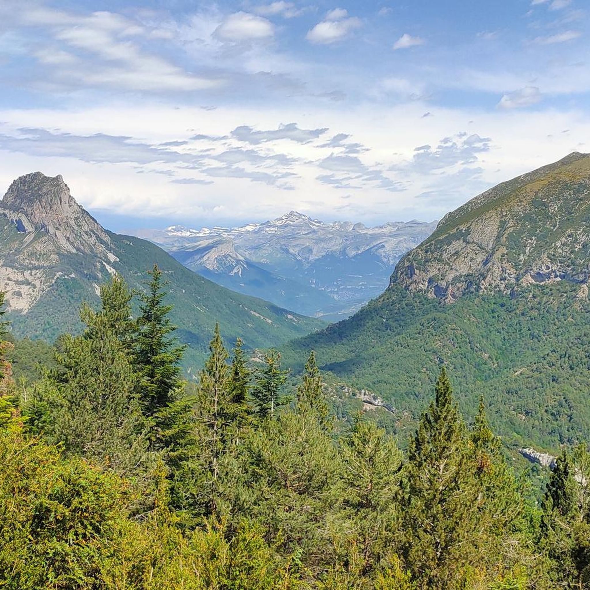
Road cycling around Campo, nestled in San Diego County, offers diverse landscapes and varied terrain. The region is characterized by rolling hills, mountains, and a mix of oak landscapes, pine forests, and high desert environments. Routes often feature significant ascents and descents, providing dynamic cycling experiences. The area's rural roads provide views of southern California and northern Mexico.
Best road cycling routes around Campo
- The most popular road cycling route is Castejón de Sos – Historic Center of Benasque loop…
Last updated: October 7, 2026
4.0
(2)
145
riders
46.7km
02:28
790m
790m
Moderate road ride. Good fitness required. Some segments of this route may be unpaved and difficult to ride.
40
riders
78.3km
04:10
1,430m
1,430m
Hard road ride. Very good fitness required. Mostly well-paved surfaces and easy to ride.

5.0
(1)
99
riders
Moderate road ride. Good fitness required. Mostly well-paved surfaces and easy to ride.
4.0
(1)
39
riders
73.0km
04:23
1,750m
1,750m
Hard road ride. Very good fitness required. Mostly well-paved surfaces and easy to ride.
16
riders
199km
10:55
4,090m
4,090m
Hard road ride. Very good fitness required. Mostly well-paved surfaces and easy to ride.
Get access to more routes and recommendations from other explorers.
Already have an account?
Our route recommendations are based on thousands of hikes, rides, and runs completed by other people on komoot.
Start today with a free account
Your next adventure awaits.
Other adventures around Campo

Tips from the Community

A table-bench combination in the shade of the forest.
1
0

From here you can see the Buddhist Center Dag Shang Kagyu.
0
0

This port connects the Noguera Ribagorzana river basin with the Sis valley and the Isábena basin, right on the border between Catalonia and Aragon. From Bonansa, the pass is a little over six kilometers long, with a fairly constant average drop of around 7%. Its other slope, the one that follows the Obarra gorge until it crowns the port, is much longer. It is 15 kilometers long, but it is very flat, with percentages around 3%, until it practically reaches the top, where the last two kilometers present considerable unevenness, with ramps of more than 15%.
0
0

The port of Bonansa is located at an altitude of 1,380 meters, in an open area from which you can see the panorama of the surrounding mountains. The climb is demanding, but worth it.
1
0

Castejón de Sos is a fairly large Ribagorza municipality, compared to the small population centers that exist in the surroundings. It has hotels, supermarkets, restaurants and a pharmacy. It is very close to the Ventamillo Gorge, an imposing canyon crossed by the Ésera River.
1
0

The port of Bonansa is located at an altitude of 1,380 meters. On one side of the pass is the town of Bonansa, and on the other, an extensive pine forest that marks the beginning of the descent to the Obarra gorge.
0
0
Formigales is a small town belonging to the municipality of La Fueva. It is located in the Campanué mountain range and very close to the Formigales ravine. The town stands out for preserving a large stone mansion, the Palace of the Murs, a turreted house from the 15th century where the Baron de Formigales lived.
0
0

The Aínsa bridge that connects the two parts of the city and that are crossed by the Cinca river, is a space from where you can see Peña Montañesa to the west, and a little further to the east, the summit from Tuca Both are part of the Ferrera mountain range.
0
0
Frequently Asked Questions
How many road cycling routes are available in Campo?
Campo offers a selection of 10 road cycling routes, catering to various skill levels. You'll find options ranging from easy loops to challenging long-distance rides through diverse landscapes.
Are there any easy road cycling routes for beginners in Campo?
Yes, there is one easy road cycling route available in Campo, perfect for beginners or those looking for a more relaxed ride. Additionally, there are five moderate routes that offer a good balance of challenge and enjoyment.
What kind of terrain can I expect on road cycling routes around Campo?
Road cycling around Campo is characterized by rolling hills, mountains, and a mix of oak landscapes, pine forests, and high desert environments. Routes often feature significant ascents and descents, providing dynamic cycling experiences and scenic views of southern California and northern Mexico.
What is the best time of year for road cycling in Campo?
Campo's climate, with hot summers and cool winters, makes it suitable for year-round road cycling. However, spring and fall are particularly pleasant seasons for exploration, offering ideal weather conditions for longer rides.
Are there challenging routes for experienced road cyclists?
Absolutely. Campo features four difficult road cycling routes designed for experienced cyclists seeking a challenge. These routes include substantial climbs and cover longer distances, such as the Panillo Climb – Troncedo Castle and Village loop from Campo, which covers 78.0 km with over 1400 meters of elevation gain.
Can I find circular road cycling routes in Campo?
Yes, many of Campo's road cycling routes are designed as loops, allowing you to start and finish in the same location. An example is the moderate Castejón de Sos – Historic Center of Benasque loop from Castejón de Sos, which is 46.6 km long.
What are some of the longer road cycling routes available?
For those looking for extended rides, Campo offers several long routes. The Coll de la Creu de Pervés – Congosto de Obarra loop from Castejón de Sos / Castilló de Sos is a challenging 199.0 km trail with over 4000 meters of elevation gain, typically taking around 10 hours 55 minutes to complete.
What do other road cyclists enjoy most about cycling in Campo?
The road cycling routes in Campo are highly rated by the komoot community, with an average score of 4.0 stars. Cyclists often praise the varied terrain, scenic views of the rural landscape, and the dynamic experience provided by the significant ascents and descents.
Are there any notable landmarks or attractions along the road cycling routes?
While cycling, you can explore several interesting points. Consider routes that pass near settlements like Castejón de Sos, Tierrantona, or Viu Village. You might also encounter natural features like the Cullivert Pass or the unique Gabás - El Run Green Tunnel.
Are there any moderate difficulty routes that offer a good workout?
Yes, Campo has five moderate difficulty routes that provide a good balance of challenge and accessibility. The Panillo Climb loop from Campo is a popular moderate option, covering 63.7 km with over 800 meters of elevation gain.
What are the typical elevation gains on Campo's road cycling routes?
Elevation gains vary significantly across Campo's routes, reflecting the region's mountainous and hilly terrain. You can expect anything from around 790 meters on moderate routes like the Castejón de Sos – Historic Center of Benasque loop to over 4000 meters on challenging routes such as the Coll de la Creu de Pervés – Congosto de Obarra loop.
Most popular attractions around Campo

Get inspired with the komoot mobile app


Explore more
Browse the best Road cycling routes in other regions.
