The best running trails around Quatretonda
4.4
(9)
1,631
runners
123
runs
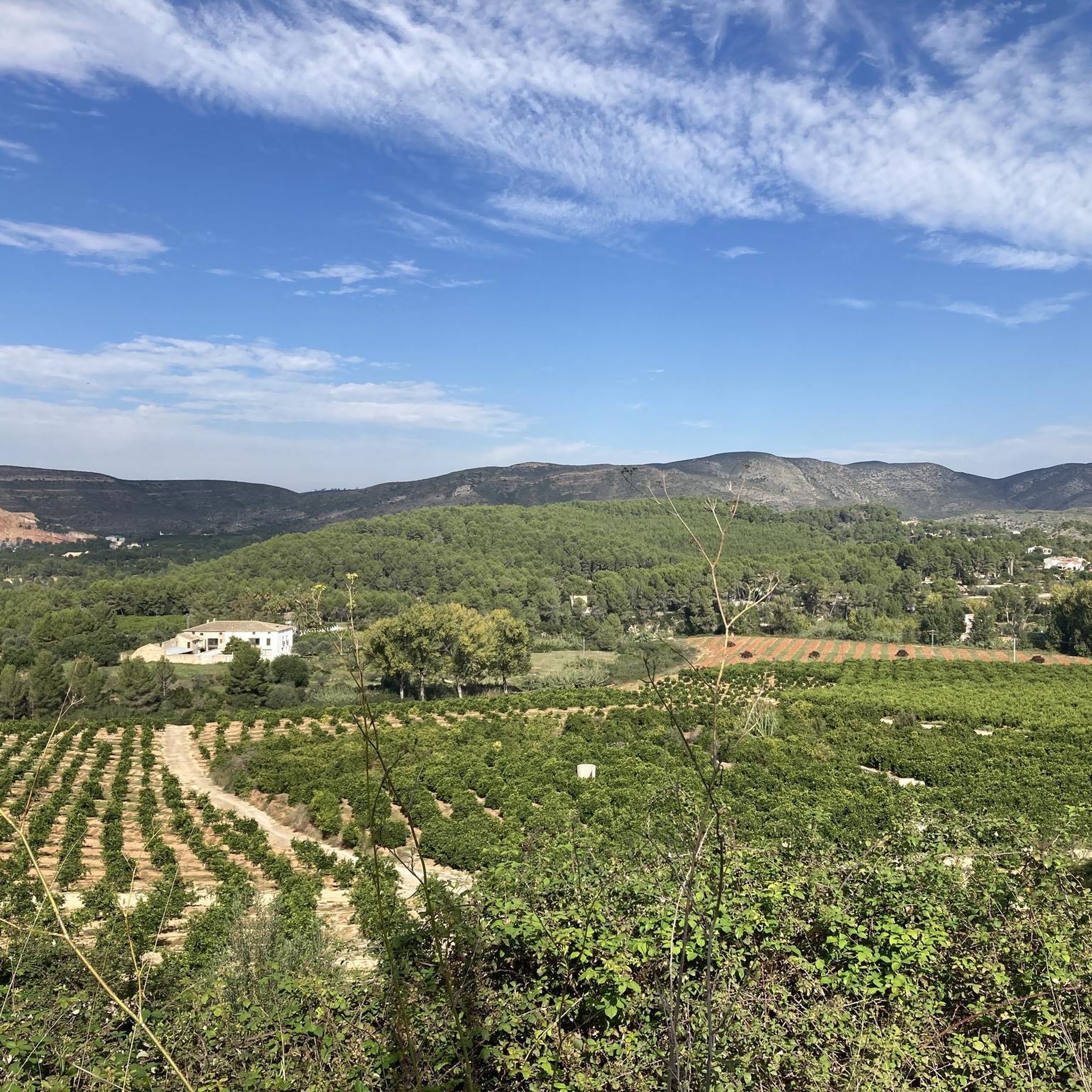
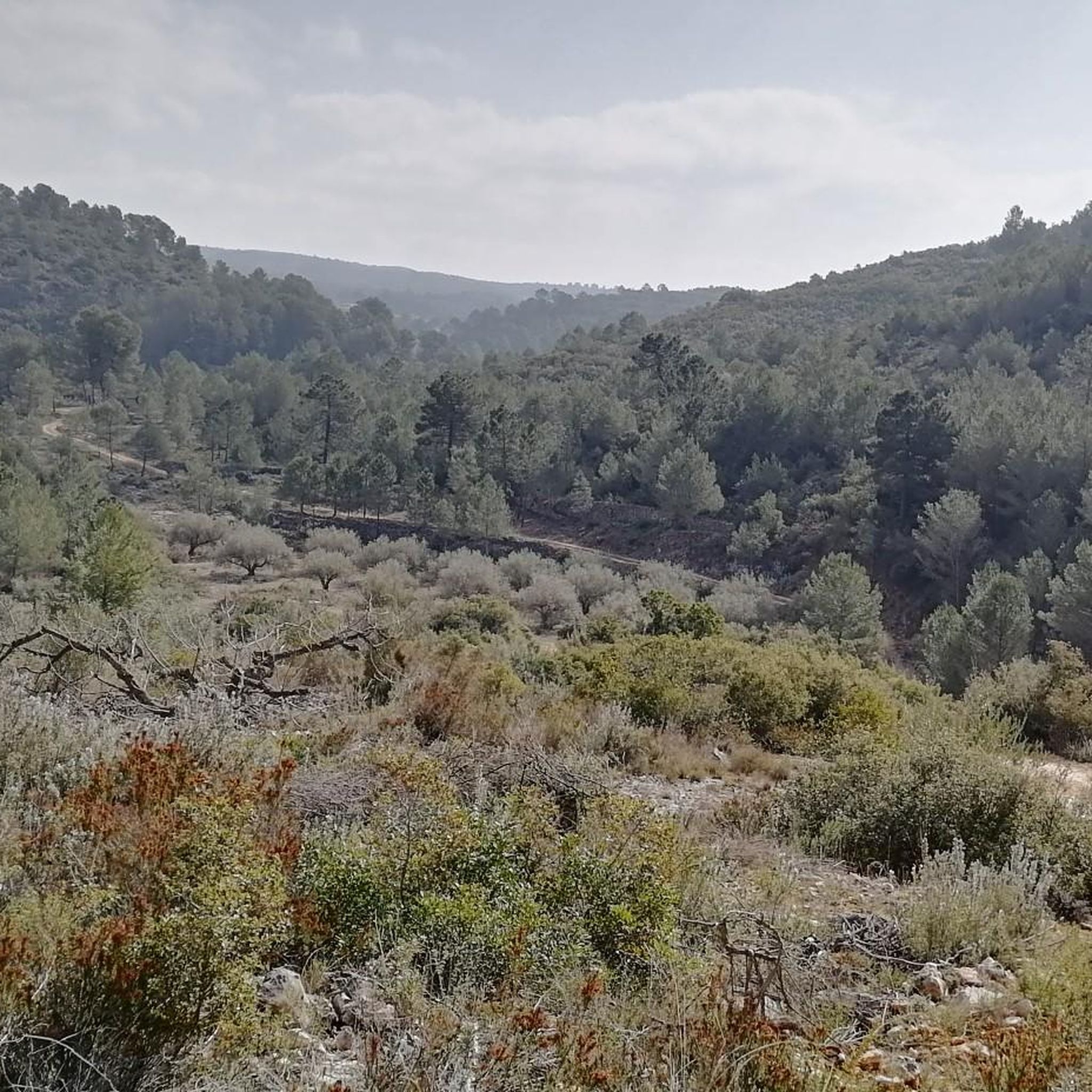
Jogging around Quatretonda offers routes through a landscape characterized by significant elevation changes, ravines, and rocky outcrops. The region features a mix of challenging ascents and descents, with some routes passing through areas like the Cavern of Quatretonda and mountain passes. The terrain is predominantly hilly, providing varied running experiences for those seeking elevation.
Best jogging routes around Quatretonda
- The most popular jogging route is Cavern of Quatretonda loop from Quatretonda, a 12.8 miles (20.6 km) trail that takes…
Last updated: October 11, 2026
23
runners
20.6km
02:48
530m
530m
Hard run. Very good fitness required. Sure-footedness, sturdy shoes and alpine experience required.
31
runners
13.6km
01:46
330m
330m
Hard run. Very good fitness required. Sure-footedness, sturdy shoes and alpine experience required.

22
runners
24.2km
03:15
790m
790m
Hard run. Very good fitness required. Sure-footedness, sturdy shoes and alpine experience required.
4.0
(1)
12
runners
15.1km
01:37
190m
180m
Hard run. Very good fitness required. Mostly paved surfaces. Suitable for all skill levels.
9
runners
19.1km
02:24
500m
500m
Hard run. Very good fitness required. Sure-footedness, sturdy shoes and alpine experience required.
Get access to more routes and recommendations from other explorers.
Already have an account?
Our route recommendations are based on thousands of hikes, rides, and runs completed by other people on komoot.
Start today with a free account
Your next adventure awaits.

Tips from the Community

La Font de la Drova is a traditional fountain and washhouse surrounded by nature and mountains, located in the municipality of Barx (Valencia). The place stands out for its large, greenish-toned water basin and its historic supply facilities, making it an ideal and very popular point of interest among hiking and outdoor route enthusiasts.
0
0
La Font de la Drova is a traditional spring and washhouse surrounded by nature and mountains, located in the municipality of Barx (Valencia). The place stands out for its large pool of greenish water and its historic supply facilities, making it an ideal and very popular point of interest among hiking and outdoor route enthusiasts.
0
0
El Puerto de La Drova is a Valencian mountain pass located 382 meters above sea level on the CV-675 road between Gandía and Barx, famous for its beautiful views of the Mondúver surroundings and very popular with cyclists and hikers.
1
0

On the CV-675 after Barx and leaving the La Drova development towards Gandía we find a recreational area where we can stop to rest or eat something, there is a fountain where you can refill water for the journey.
1
0

There are few options to achieve TOP of the Maneuver mauntain. The easiest one is just follow road for the special vehicles. Even if you have selected this option - you will have many challenging alternatives sections during hiking up. Better to make a hike by the good weather (no clouds). 360 degree view from the top is spectacular and one is able to see Ibiza/Formentera islands.
1
0

An ecological centre with a car park and visitor amenities. Also a good spot to start a hike from
0
0

lots of hydration and more in summer
2
0

La Drova is a mountain oasis between the Mondúber massif and the Serra del Buixcarró, in the Valencian coastal mountains, a truly pleasant and comforting spot where forests, mountains and springs abound. The place is a strategic mountain pass in an old cattle ranch between the coastal marshes of Gandía and the mountain pastures of Barx, converted into a residential hamlet of country houses and tourist accommodation. The starting point is perfect, there is tranquility, parking and a fountain. The trail leaves the small square of Font de la Drova along the path of the royal glen and immediately appears the ponds of Les Basses de la Drova, some pools of water built in the 18th century by the monks of the Valldigna monastery to facilitate irrigation in Pla de la Drova. The trail continues another hundred meters along the main road and the turnoff for PR-CV 60 appears to the right, marked with the usual white and yellow signs and red dots.
0
1
Frequently Asked Questions
How many running routes are available around Quatretonda?
There are over 120 running routes in the Quatretonda area, offering a wide range of options for different fitness levels and preferences.
What is the general terrain like for running in Quatretonda?
The terrain around Quatretonda is predominantly hilly, characterized by significant elevation changes, ravines, and rocky outcrops. Runners can expect a mix of challenging ascents and descents, providing varied experiences for those who enjoy elevation.
Are there running routes suitable for beginners in Quatretonda?
While many routes in Quatretonda feature challenging elevation, there is at least one easy running route available. The majority of the trails are classified as moderate or difficult, so beginners should carefully check route details before heading out.
What do other runners say about the trails in Quatretonda?
The running routes in Quatretonda are highly rated by the komoot community, with an average score of 4.4 stars from over 7 reviews. More than 1600 runners have explored the varied terrain, often praising the challenging nature and scenic views.
Are there any circular running routes in Quatretonda?
Yes, many of the running routes in Quatretonda are circular. For example, the Penya Blanca – Alt del Palmeral loop from Benigànim is a difficult 24.2 km (15 miles) loop, and the Penya Blanca loop from Benigànim is another challenging 19.1 km (11.9 miles) circular option.
What kind of natural attractions can I see along the running routes?
The routes often pass by interesting natural features. You can explore various caves, such as the Cova Negra or the Cave of les Maledetes. Many trails also offer stunning views from mountain peaks and viewpoints like Mondúver summit or Molló de la Falconera.
Are there any specific landmarks or points of interest near the running trails?
Beyond natural features, you might encounter points of interest like the Parpalló-Borrell Interpretation Centre, which offers insights into the region's history and geology. The Cavern of Quatretonda is also a notable landmark that some routes pass by.
What is the typical length of running trails in Quatretonda?
The running trails in Quatretonda vary significantly in length. You'll find routes ranging from shorter distances to longer, more challenging runs. For instance, the La Drova Pass – La Drova Recreation Area loop from Barx is about 15.1 km (9.4 miles), while the Barranco Solana loop from Quatretonda is 13.6 km (8.5 miles).
Are there any running routes that pass through a recreation area?
Yes, the La Drova Pass – La Drova Recreation Area loop from Barx is a 15.1 km (9.4 miles) trail that leads through elevated terrain and includes a recreation area, offering a pleasant spot during your run.
What should I consider when planning a run in Quatretonda?
Given the region's hilly and often difficult terrain with significant elevation changes, it's advisable to check the route's difficulty and elevation profile beforehand. Ensure you are adequately prepared with appropriate footwear and hydration, especially for longer or more challenging trails.
Most popular routes around Quatretonda
Most popular attractions around Quatretonda

Get inspired with the komoot mobile app


Explore more
Browse the best Running Trails & Routes in other regions.
