The best running trails around Bunkeflo strandängar
4.3
(117)
5,538
runners
243
runs
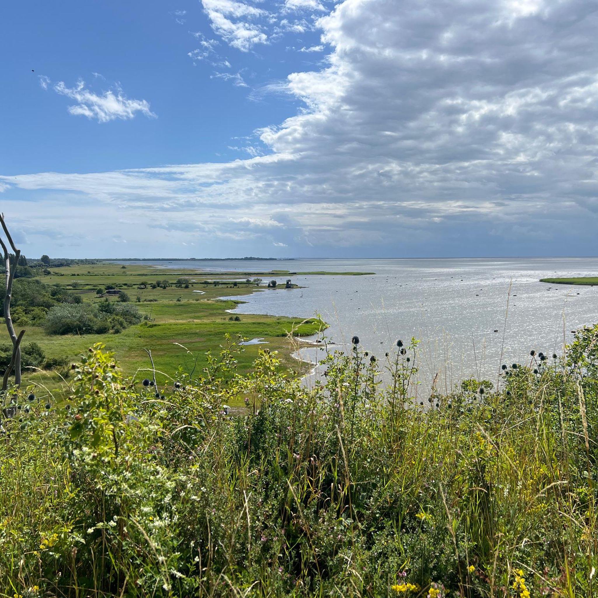
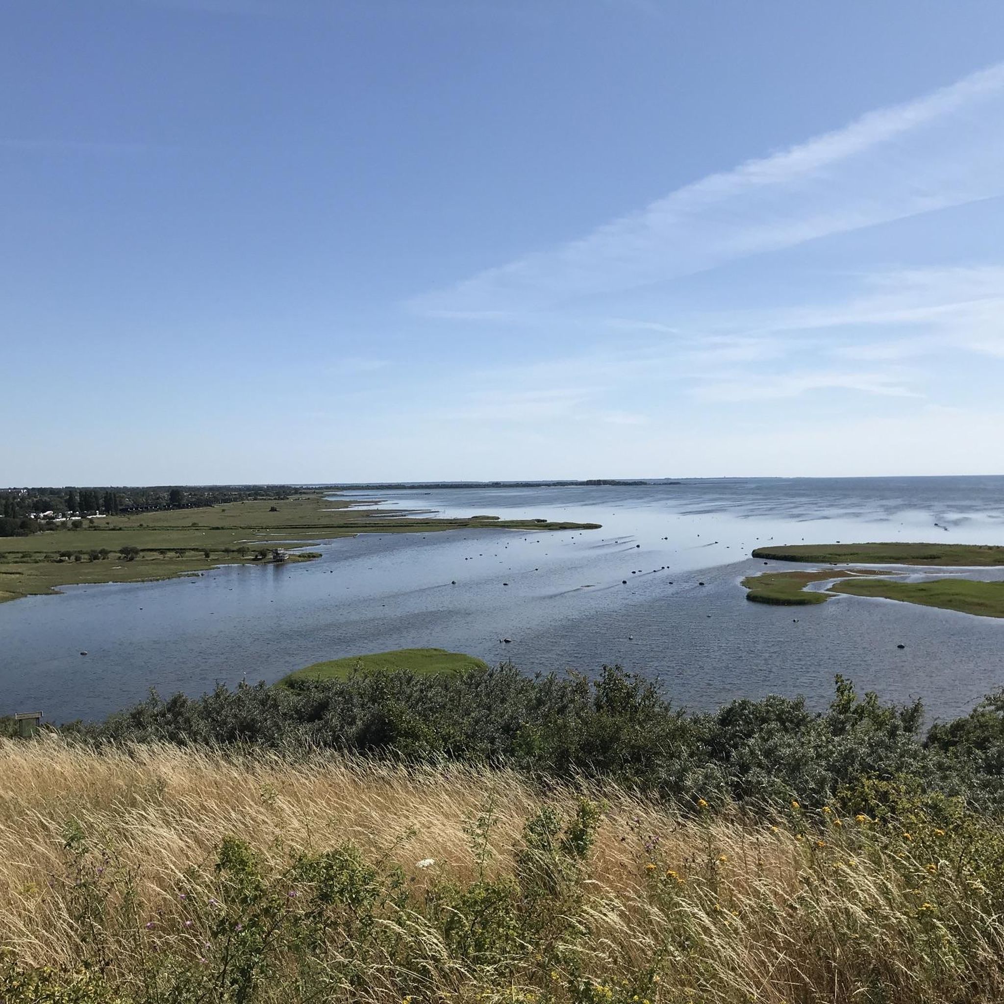
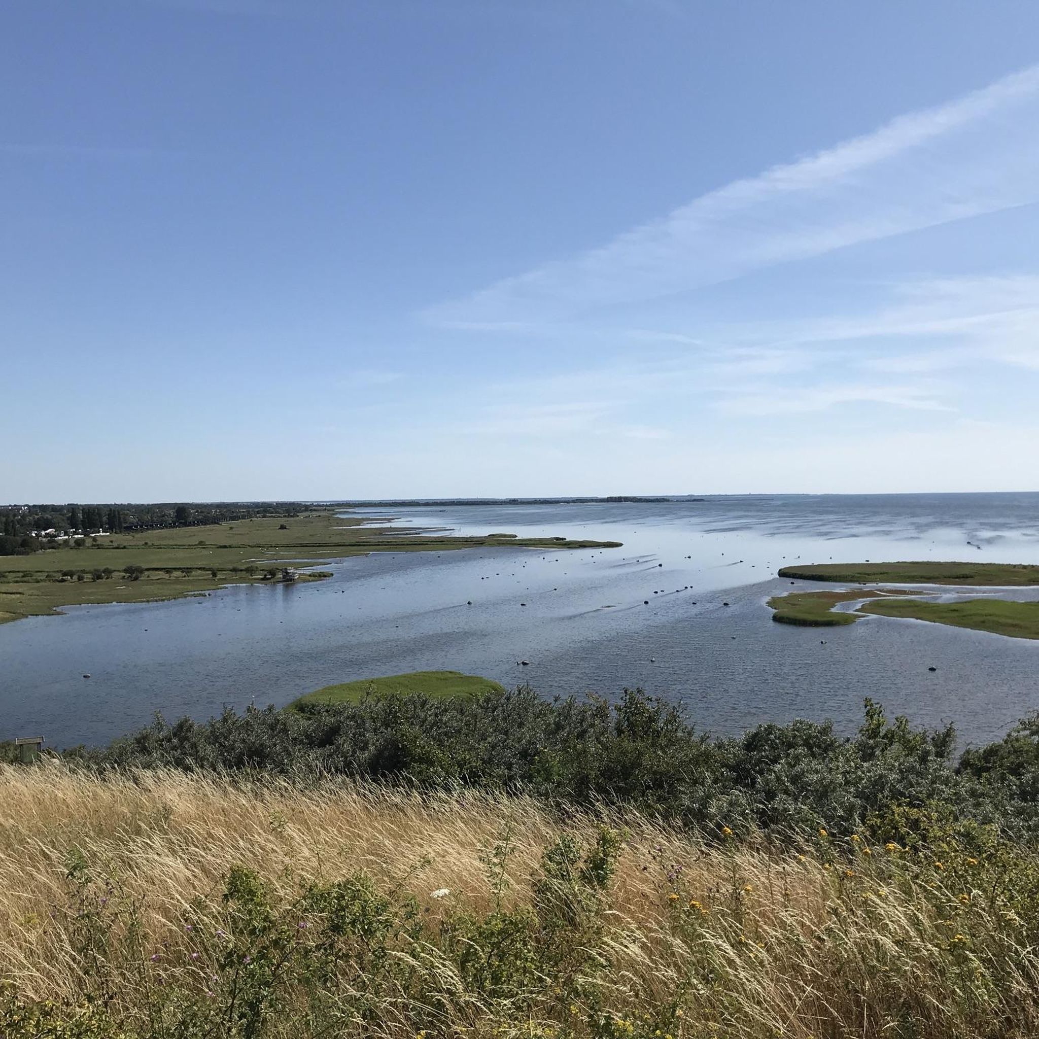
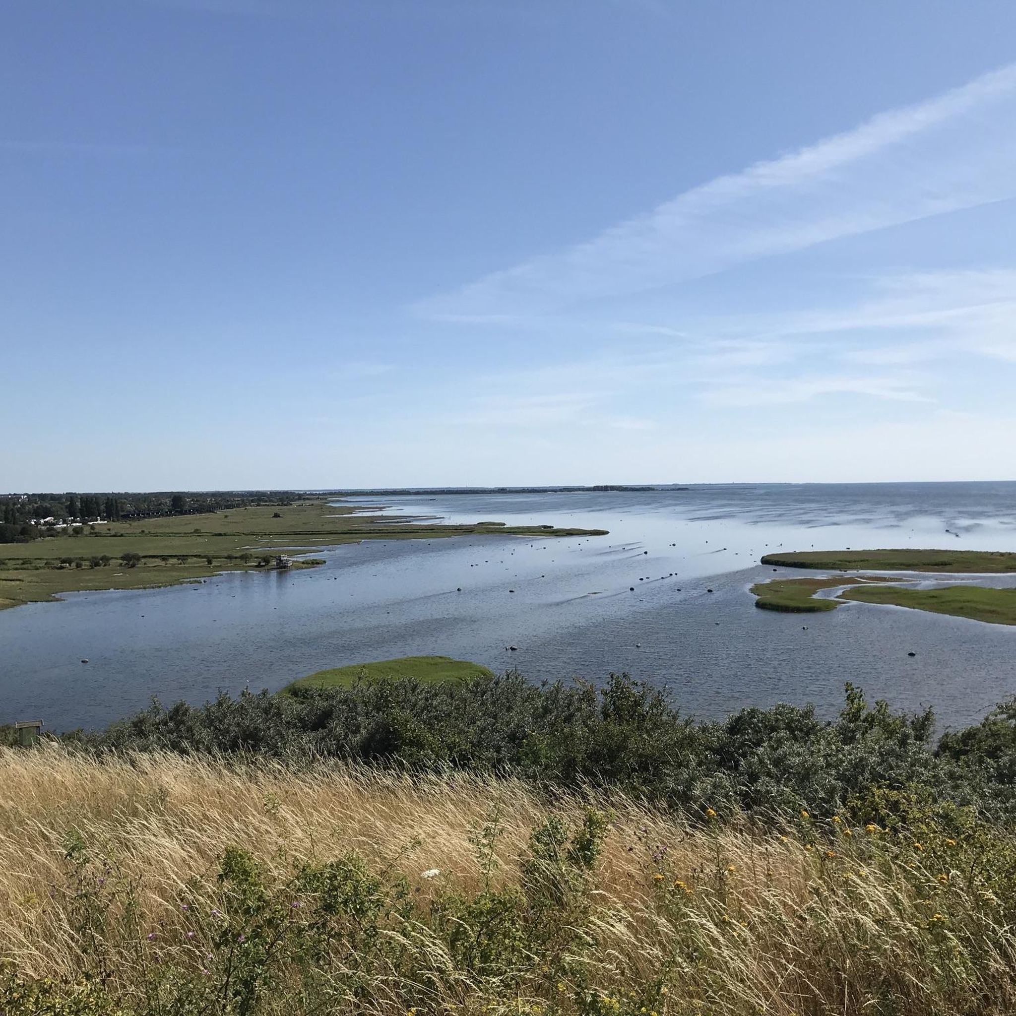
Jogging around Bunkeflo strandängar offers routes through distinctive coastal meadows and along a long-stretching coastline. The area is characterized by flat terrain, with minimal elevation changes, making it suitable for various running paces. Runners can experience diverse natural features, including unique flora and rich biodiversity, while enjoying continuous views of the sea and the Öresund Bridge.
Best jogging routes around Bunkeflo strandängar
- The most popular jogging route is Oresund Bridge – Climb Bunkeflostrand loop from Bunkeflostrand, a difficult 12.1 miles (19.5 km) trail that takes 2 hours 5 minutes to complete, offering expansive views of the Öresund Bridge.
- Another top favourite among local runners is Oresund Bridge – Öresund Bridge loop from Bunkeflostrand, a moderate 6.8 miles (10.9 km) path. This route provides scenic coastal views and passes by the iconic bridge.
- Local runners also love the Oresund Bridge – View of Bunkeflo Ängar loop from Bunkeflostrand, a 6.6 miles (10.6 km) trail leading through coastal meadows, often completed in about 1 hour 7 minutes.
- Jogging around Bunkeflo strandängar is defined by coastal meadows, a long coastline, and views of the Öresund Bridge. The network offers options for easy, moderate, and difficult running routes.
- The routes in Bunkeflo strandängar are highly rated by the komoot community with an average score of 4.4 stars from over 90 reviews. More than 5000 runners have used komoot to explore Bunkeflo strandängar's varied terrain.
Last updated: September 30, 2026
34
runners
19.5km
02:06
40m
40m
Hard run. Very good fitness required. Mostly paved surfaces. Suitable for all skill levels.
18
runners
11.0km
01:10
30m
30m
Moderate run. Good fitness required. Mostly paved surfaces. Suitable for all skill levels.

15
runners
10.6km
01:07
20m
20m
Moderate run. Good fitness required. Mostly paved surfaces. Suitable for all skill levels.
11
runners
Moderate run. Good fitness required. Mostly paved surfaces. Suitable for all skill levels.
13
runners
6.64km
00:42
10m
10m
Moderate run. Good fitness required. Mostly paved surfaces. Suitable for all skill levels.
Get access to more routes and recommendations from other explorers.
Already have an account?
Our route recommendations are based on thousands of hikes, rides, and runs completed by other people on komoot.
Start today with a free account
Your next adventure awaits.
Tips from the Community

It's very beautiful here, crazy many rabbits 🐰
0
0
Very nice view of the bridge
0
0

Anyone cycling in the region must take the detour under the bridge. A top highlight: the wild shore south of the bridge, as well as the bridge itself. You can get very close and watch the trains crossing the Öresund.
0
0
Magnificent view here of the wild river landscape. Highly recommended!
0
0
When following the Sydkustleden from the south, you have had the bridge in sight for a long time. Here you slowly approach it. A very beautiful place: there is a wild coastal landscape with many water birds. Top spot!
0
0
Yes, a pretty little lighthouse here. However: the bigger highlight here is the bridge. Anyone who is here always has the bridge in view. There are many resting places here. On the south side of the bridge, there is another magnificent view over wild coastal scenery.
0
0
Anyone cycling here must absolutely take this route. It looks a bit unassuming on the map. However, the entire route is well asphalted and offers a magnificent view of the bridge as well as the wild bank south of the bridge.
0
0

Here, the cycle way leading off Utsiktsvågen road gradually approaches the Öresund Bridge. It offers lovely views of the bridge and the sea.
0
0
Frequently Asked Questions
How many running routes are available in Bunkeflo strandängar?
There are over 260 running routes around Bunkeflo strandängar, catering to various fitness levels. You'll find a wide selection of trails, from easy paths to more challenging runs.
What kind of terrain can I expect when jogging in Bunkeflo strandängar?
Jogging in Bunkeflo strandängar primarily takes you through distinctive coastal meadows and along a long-stretching coastline. The terrain is generally flat with minimal elevation changes, making it suitable for various running paces. Many paths offer continuous views of the sea and the impressive Öresund Bridge.
Are there running routes suitable for beginners or families in Bunkeflo strandängar?
Yes, Bunkeflo strandängar offers 31 easy running routes that are well-suited for beginners or families looking for a more relaxed experience. These paths typically feature flat terrain and scenic views, allowing for an enjoyable outing.
Can I bring my dog on the running trails in Bunkeflo strandängar?
Bunkeflo strandängar is a nature reserve, and while specific dog regulations can vary, generally dogs are welcome on trails if kept on a leash to protect the local wildlife and grazing animals. Always check local signage for any specific restrictions.
What are some notable sights or landmarks I can see while running in Bunkeflo strandängar?
While running, you'll enjoy first-class views of the iconic Öresund Bridge. The area also features several viewpoints, such as View of Bunkeflo Ängar and View of the Öresund Bridge from Klagshamn Bird Observation Platform, offering stunning panoramas of the coastal landscape and the bridge.
Are there any circular running routes in the area?
Yes, many of the running routes in Bunkeflo strandängar are circular. For example, the popular Oresund Bridge – Öresund Bridge loop from Bunkeflostrand is a moderate 6.8-mile (10.9 km) path offering scenic coastal views and passing by the iconic bridge.
What is the best time of year to go jogging in Bunkeflo strandängar?
Bunkeflo strandängar is beautiful year-round. Spring and summer offer lush coastal meadows and abundant birdlife, while autumn provides unique colors. Even in winter, the flat terrain and coastal views can be invigorating, though paths might be affected by weather conditions. The area is regularly flooded by saltwater, which creates a unique environment, so be mindful of conditions after heavy rains or high tides.
What makes Bunkeflo strandängar unique for outdoor activities like running?
Bunkeflo strandängar is Malmö's first nature reserve, known for its unique coastal meadows that are regularly flooded by saltwater, supporting a rare and resilient flora with approximately 300 different plant species. It's also a haven for around 450 species of birds, amphibians, and insects, serving as a crucial resting place for migratory birds. This rich biodiversity, combined with the scenic coastal paths and views of the Öresund Bridge, creates a truly special running environment.
Where can I park when visiting Bunkeflo strandängar for a run?
While specific parking locations aren't detailed in the route descriptions, areas near popular access points like Bunkeflostrand or Klagshamn often have designated parking for visitors to the nature reserve. It's advisable to check local maps or signage upon arrival for the most convenient parking options.
What do other runners enjoy most about jogging in Bunkeflo strandängar?
The running routes in Bunkeflo strandängar are highly rated by the komoot community, with an average score of 4.4 stars from over 90 reviews. Runners often praise the expansive coastal views, the unique natural environment of the meadows, and the opportunity to see the Öresund Bridge. The flat terrain is also frequently mentioned as a positive aspect for enjoyable runs.
Are there any long-distance running options in Bunkeflo strandängar?
Yes, for those looking for longer runs, there are several options. A challenging route is the Oresund Bridge – Climb Bunkeflostrand loop from Bunkeflostrand, which is a difficult 12.1-mile (19.5 km) trail offering expansive views of the Öresund Bridge.
Is it possible to reach Bunkeflo strandängar by public transport for a run?
While specific public transport routes aren't detailed, Bunkeflo strandängar is located near Malmö, a city with good public transport connections. It's generally possible to reach the vicinity of the nature reserve by bus, followed by a short walk to the trailheads. We recommend checking local public transport schedules for the most up-to-date information.
Most popular routes around Bunkeflo strandängar
Most popular attractions around Bunkeflo strandängar

Get inspired with the komoot mobile app


Explore more
Browse the best Running Trails & Routes in other regions.
