The best road cycling routes around Kullabergs naturreservat
4.0
(1)
155
riders
10
rides
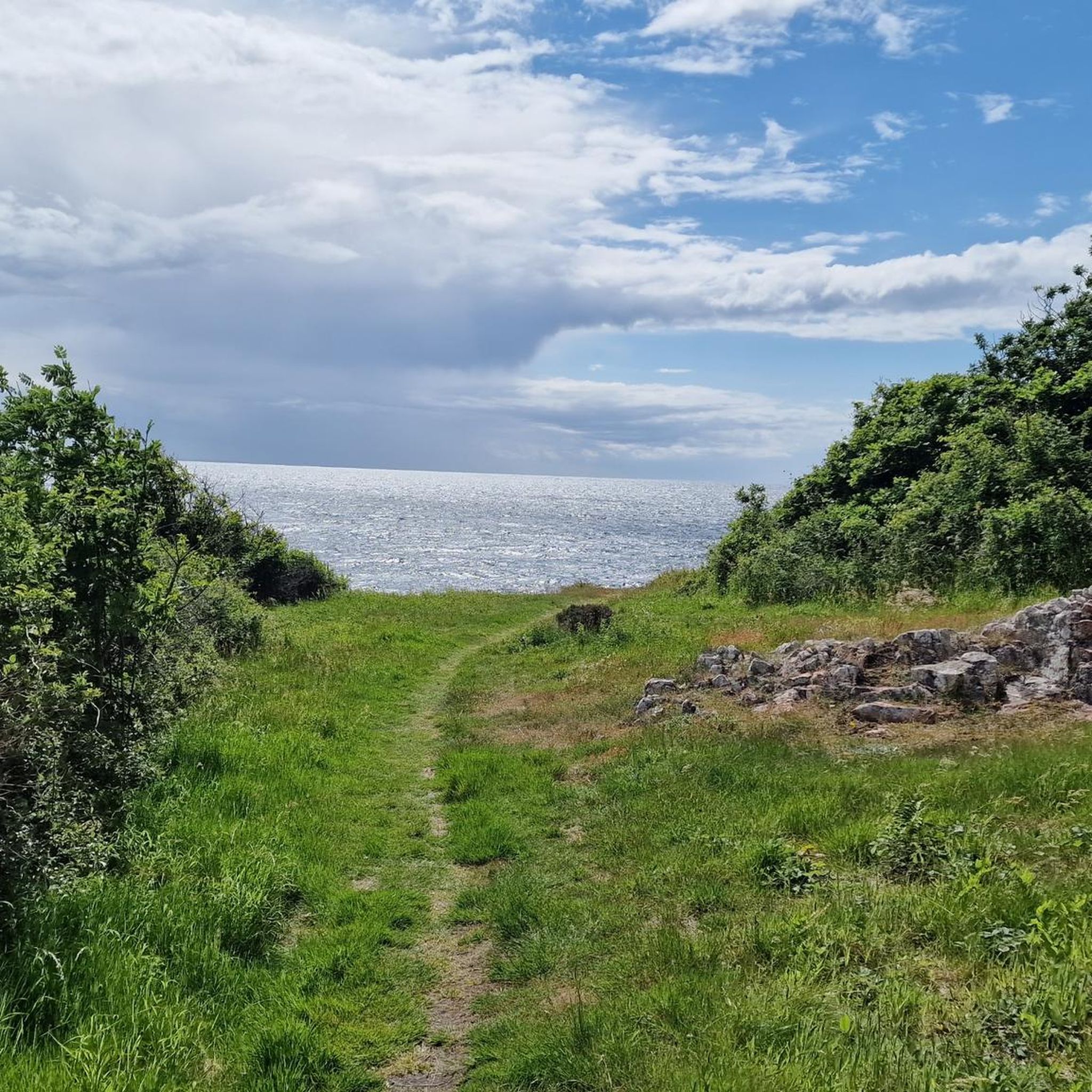
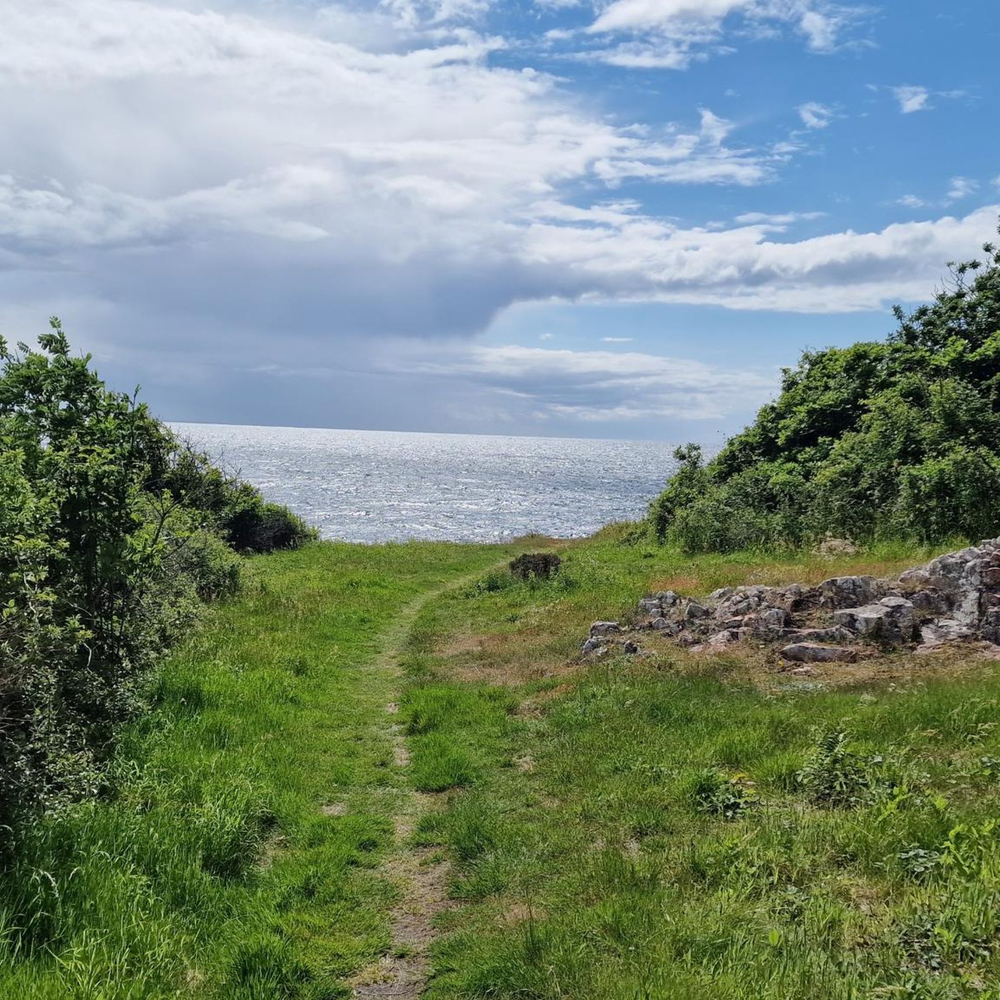
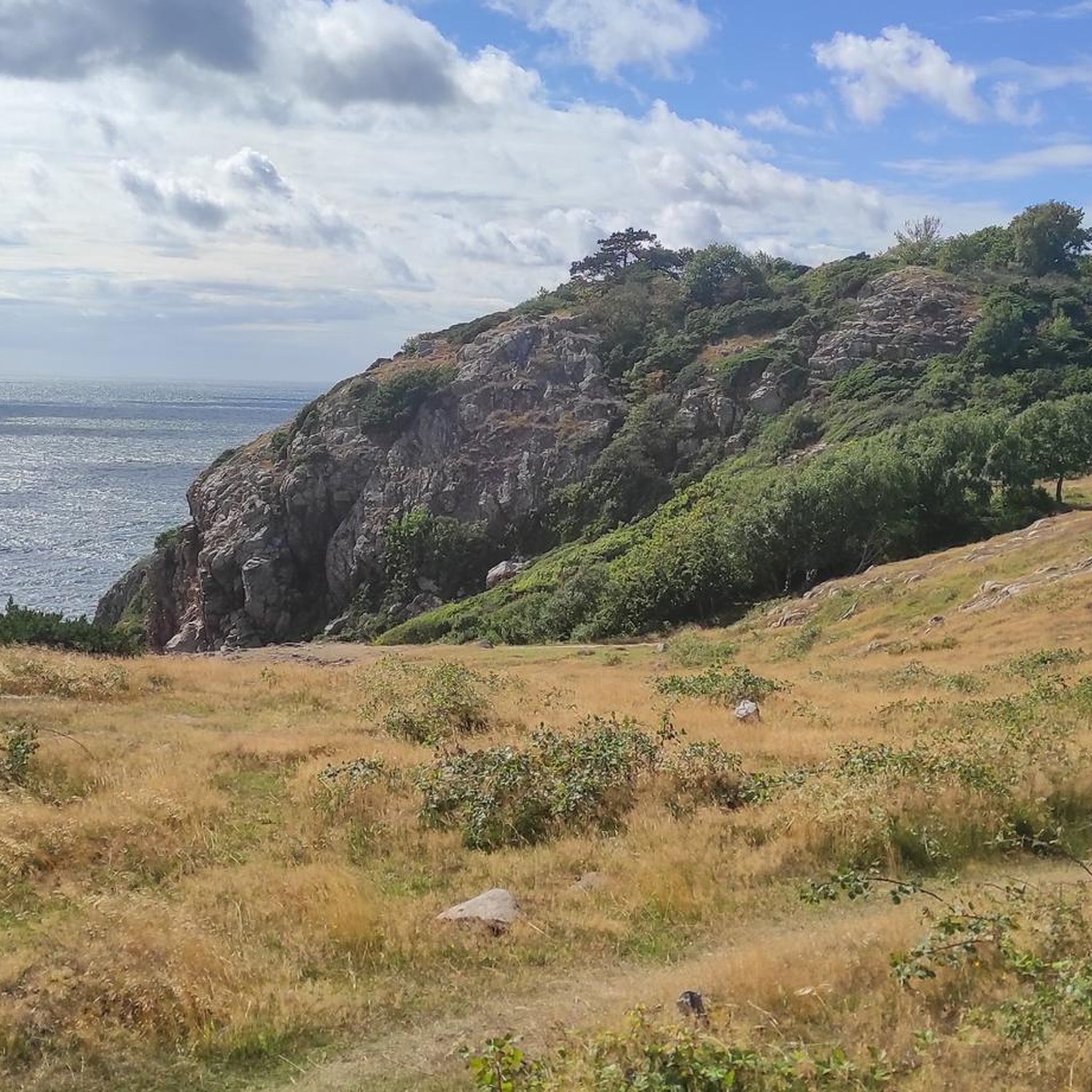
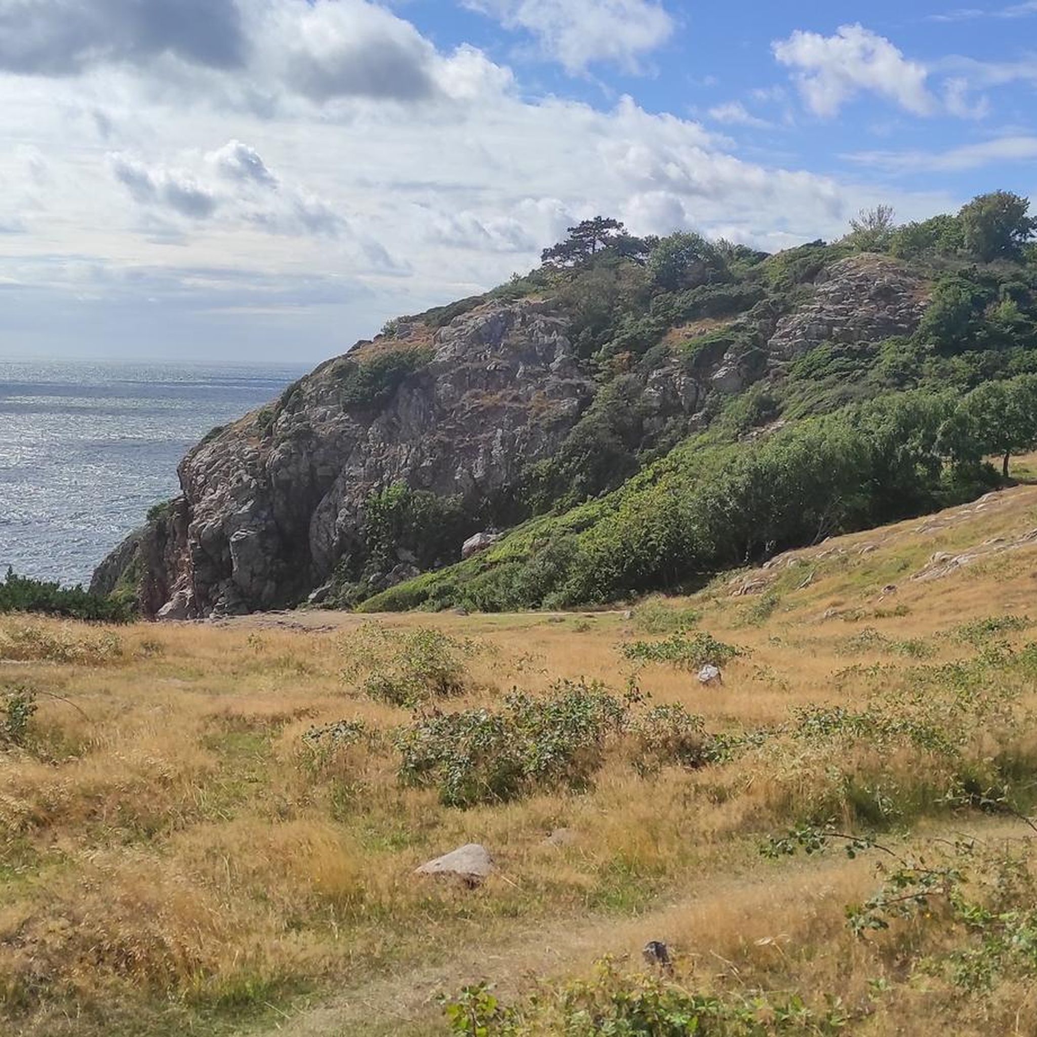
Road cycling routes around Kullabergs naturreservat feature a landscape characterized by steep cliffs, mixed hardwood forests, and coastal paths along the Kattegat sea. The terrain includes varied elevations, with the highest point, Håkull, reaching 188 meters above sea level. This region offers a blend of challenging ascents and scenic, well-paved sections suitable for road cyclists.
Best road cycling routes around Kullabergs naturreservat
- The most popular road cycling route is Roadbike loop from Kullabergs naturreservat, a 4.4 miles (7.1 km)…
Last updated: May 11, 2026
9
riders
7.14km
00:27
160m
160m
Moderate road ride. Great for any fitness level. Some segments of this route may be unpaved and difficult to ride.
10
riders
7.79km
00:27
160m
160m
Easy road ride. Great for any fitness level. Mostly well-paved surfaces and easy to ride.

Sign up for free
9
riders
Moderate road ride. Great for any fitness level. Some segments of this route may be unpaved and difficult to ride.
14
riders
60.1km
02:21
170m
170m
Moderate road ride. Good fitness required. Some segments of this route may be unpaved and difficult to ride.
46
riders
64.0km
02:34
180m
180m
Moderate road ride. Good fitness required. Mostly well-paved surfaces and easy to ride.
Get access to more routes and recommendations from other explorers.
Sign up for free
Already have an account?
Our route recommendations are based on thousands of hikes, rides, and runs completed by other people on komoot.
Start today with a free account
Your next adventure awaits.
Login or Signup
Tips from the Community

Great location, cafe, restaurant, shop, and accommodation.
0
0
My second hope, unfortunately only open Friday to Sunday. Still nice to look at.
3
1

The four-story Farhults Mölla mill was built in 1850 and operated regularly until 1956. On several mill days throughout the year, the mill is put into operation and you can visit it.
1
0


This place offers more than just coffee and cakes/pies. To avoid confusing the waiters, you should follow the instructions posted at the entrance: 1. Choose a table and attach the small reservation tag. Remember your table number. 2. Order inside, take your food with you, and state your table number. Drinks will be served. But even the locals didn't quite get it right in our case. The food is delicious, and the cakes/pies are too. Just sit down and enjoy. Thanks for everything!
0
0

Small harbor and great swimming spot.
0
0


Hiking map and toilets available
0
0
Frequently Asked Questions
How many road cycling routes are available in Kullabergs naturreservat?
There are over 10 road cycling routes available in Kullabergs naturreservat, catering to various skill levels. These routes offer a mix of scenic coastal paths, forest roads, and varied elevations.
What kind of terrain can I expect on road cycling routes around Kullaberg?
Road cycling routes around Kullaberg feature a diverse landscape. You can expect steep cliffs, mixed hardwood forests, and coastal paths along the Kattegat sea. The terrain includes varied elevations, with the highest point, Håkull, reaching 188 meters above sea level, offering both challenging ascents and scenic, well-paved sections.
Are there any easy road cycling routes suitable for beginners in the area?
Yes, there are several easy routes perfect for beginners. For example, the Roadbike loop from Möllehässle naturreservat is an easy 4.8-mile (7.8 km) path that provides a gentle ride through the surrounding natural areas. Another option is the dedicated bike path from Höganäs along an old railway embankment into Mölle.
What are some notable landmarks or viewpoints I can see while road cycling in Kullaberg?
Cyclists can enjoy views of dramatic cliffs, dense forests, and the expansive Kattegat sea. Notable landmarks include Kullens Fyr Lighthouse, Scandinavia's brightest lighthouse, located at the westernmost point of the reserve. Other points of interest include Josefinelust Cove and various viewpoints like the Birdwatching Platform at Kullaberg Nature Reserve.
Are there any longer, more challenging road cycling routes for experienced riders?
Yes, for more experienced riders seeking longer distances, routes like the Flickorna Lundgren Café – Vattenmöllan Watermill loop from Möllehässle naturreservat offer a 24.8-mile (39.9 km) trail through varied landscapes. The Vineyard with Lupine Flowers – Farhults Mölla Windmill loop from Ladonia is even longer at 60.1 km, providing a moderate challenge.
What is the best time of year for road cycling in Kullabergs naturreservat?
The best time for road cycling in Kullabergs naturreservat is generally during the warmer months, from spring to early autumn. During this period, the weather is more stable, and the natural beauty of the cliffs, forests, and coastal views can be fully enjoyed. The region's diverse ecosystems are particularly vibrant then.
Is there parking available for cyclists near the road cycling routes?
Yes, parking is available. For instance, the Kullaberg Nature Reserve Parking Lot is a designated area where you can park your vehicle before starting your ride. Many routes also start from towns like Mölle or Arild, which offer parking options.
Can I access the road cycling routes using public transport?
While the main Kattegattleden cycle path doesn't go directly through the nature reserve, cyclists can easily access the reserve by leaving their bikes in nearby towns like Arild or Mölle, which are typically served by public transport connections. From these towns, you can cycle up the road towards the park.
Are there any cafes or amenities along the road cycling routes in Kullaberg?
Yes, you can find amenities in the towns surrounding Kullaberg. For example, the Flickorna Lundgren Café – Vattenmöllan Watermill loop specifically mentions a café, indicating that such establishments are accessible. Towns like Mölle and Arild also offer various services for cyclists.
What do other road cyclists say about the routes in Kullabergs naturreservat?
The road cycling routes in Kullabergs naturreservat are highly rated by the komoot community, with an average score of 4.0 stars. Cyclists often praise the dramatic cliffs, dense forests, and coastal views, as well as the variety of routes suitable for different ability levels.
Are there any circular road cycling routes in the Kullaberg Peninsula?
Yes, many of the road cycling routes in the Kullaberg Peninsula are designed as loops, allowing you to start and end at the same point. Examples include the Roadbike loop from Kullabergs naturreservat and the Farhults Mölla Windmill – Viken Bunker loop from Krapperups slott, which provide scenic circular experiences.
Most popular routes around Kullabergs naturreservat
Most popular attractions around Kullabergs naturreservat

Get inspired with the komoot mobile app


Explore more
Browse the best Road cycling routes in other regions.
