The best walks and hikes around Tanumskusten, II
4.7
(421)
1,954
hikers
60
hikes
Hiking trails around Tanumskusten, II are characterized by a diverse and dramatic natural landscape within the Tanum Coast nature conservation area in Bohuslän, Sweden. The region features a strongly fractured coastline with protruding peninsulas, headlands, and deep bays, complemented by an archipelago of numerous islands. Hikers can experience a rich contrast of environments, from rugged forests and rocky outcrops to cultural landscapes and wetlands.
Best hiking trails around Tanumskusten, II
- The most popular hiking route is Hiking loop from Ramlareberget…
Last updated: October 2, 2026
4.8
(28)
125
hikers
7.42km
01:58
70m
70m
Easy hike. Great for any fitness level. Easily-accessible paths. Suitable for all skill levels.
5.0
(4)
21
hikers
5.43km
01:25
40m
40m
Easy hike. Great for any fitness level. Easily-accessible paths. Suitable for all skill levels.

4.8
(6)
15
hikers
5.80km
01:31
40m
40m
Easy hike. Great for any fitness level. Easily-accessible paths. Suitable for all skill levels.
4.3
(6)
21
hikers
2.12km
00:33
10m
10m
Easy hike. Great for any fitness level. Easily-accessible paths. Suitable for all skill levels.
5.0
(3)
20
hikers
3.92km
01:01
20m
20m
Easy hike. Great for any fitness level. Easily-accessible paths. Suitable for all skill levels.
Get access to more routes and recommendations from other explorers.
Already have an account?
Our route recommendations are based on thousands of hikes, rides, and runs completed by other people on komoot.
Start today with a free account
Your next adventure awaits.
Tips from the Community

It collapsed; now there's a new stone castle there (see the last 4 photos).
0
0

To reach the cave, you have to climb over fields and scree. The "path" to the cave is no easy walk.
0
0

Sometimes strong current!
0
0

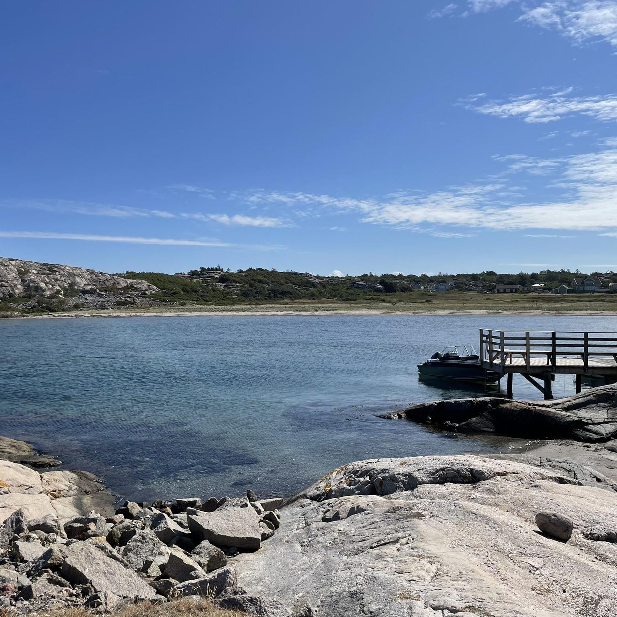
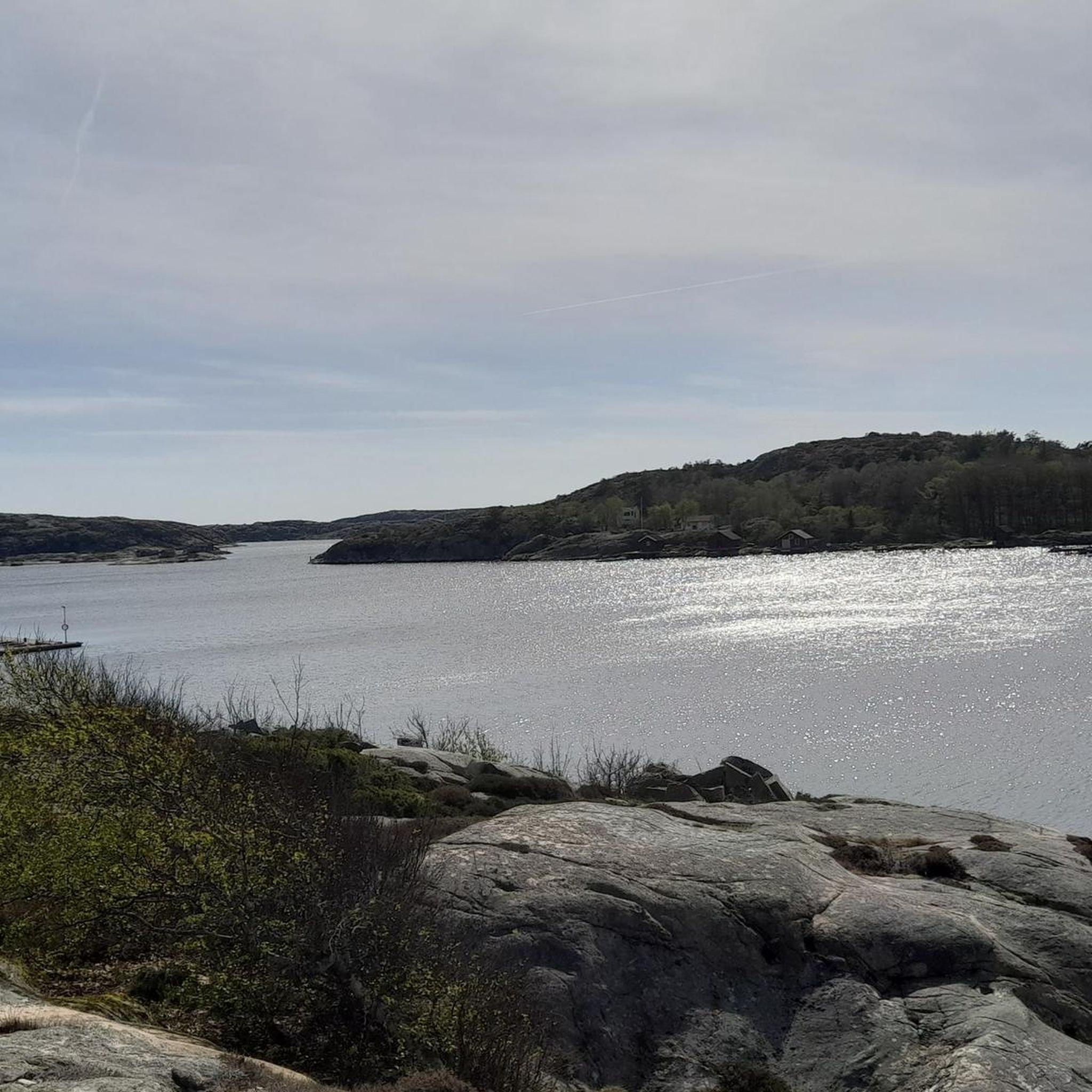
From this spot in the Tjurpannans Nature Preserve, you get a great view over a rounded, rocky cove. This is a nice spot to snap a few photos and drink some water before continuing on your hike.
0
0

My landlady had recommended this lovely walk to me, especially when there is a storm. On this day, it was very windy...
0
0

Beautiful hiking trails, some over rocks to and along the coast. Fantastically wide views of the Skagerrak. The shortest red route, at least at the time of writing, leads through the pasture of a herd of cattle, which blocked our access to the gate on the way back, so we followed the longer, blue route. It was definitely worth it in terms of scenery, it is the nicer route anyway, which also leads uphill on the last stretch and not through the depression back to the car park.
0
0

Beautiful harbor in front of the rocky coast.
2
0
Munkkyrkan (The "Monk's Church") is located by the sea north of Yttre Kuseröd, Grebbestad. It is a natural stone formation from the Ice Age. The cave is tunnel-shaped and 11-12 meters deep. There is a large stone block on the beach called the "Altar Stone".
2
0
Frequently Asked Questions
What kind of terrain can I expect on hiking trails in Tanumskusten, II?
Hiking in Tanumskusten, II offers a diverse and dramatic landscape. You'll encounter a strongly fractured coastline with protruding peninsulas, headlands, and deep bays, alongside an archipelago of numerous islands. Trails often lead through rugged forests, rocky outcrops, and cultural landscapes that were once seabeds. The area also features wetlands, particularly nutrient-poor fissure valley lakes, and a mosaic of pine and spruce forests.
How many hiking trails are available in Tanumskusten, II?
There are over 60 hiking routes recorded in Tanumskusten, II on komoot. This includes a wide range of options, from short coastal walks to longer forest explorations.
Are there many easy hiking trails in Tanumskusten, II?
Yes, Tanumskusten, II is very accessible for hikers of all levels. Out of the 60 routes, 51 are rated as easy, making it an excellent destination for casual walks and family outings. Only 9 routes are considered moderate, and there are no difficult trails listed.
What are some notable landmarks or viewpoints to see while hiking?
A significant attraction is Vetteberget and Kungsklyftan. A marked trail leads through Kungsklyftan (King's Gorge) and ascends to Vetteberget, offering fantastic views over the Fjällbacka archipelago and the Väderöarna islands. The region also features the extensive Bohusleden trail and the Coastal Path (Kuststigen).
What do other hikers enjoy most about hiking in Tanumskusten, II?
The area is highly rated by the komoot community, with an average score of 4.7 stars from over 300 reviews. Hikers often praise the varied coastal terrain, the distinctive rock formations, and the peaceful atmosphere of the wetlands and forests. Many appreciate the accessibility of the trails, with over 1500 hikers having explored the region using komoot.
Are there any circular walks available in Tanumskusten, II?
Yes, many of the trails in Tanumskusten, II are designed as circular routes, allowing you to start and end at the same point. For example, the Stone in Stone Rock Formation loop from Ramlareberget is an easy 3.4-mile (5.5 km) path that explores unique geological features and coastal scenery.
What is the best time of year to go hiking in Tanumskusten, II?
The best time to hike in Tanumskusten, II is generally during the spring, summer, and early autumn months when the weather is milder and the natural beauty is at its peak. Spring brings rich floral splendor to hay meadows, while summer offers pleasant conditions for coastal walks. Autumn provides beautiful colors in the forests.
Are there family-friendly hiking options in Tanumskusten, II?
Absolutely. With 51 out of 60 routes rated as easy, Tanumskusten, II is very suitable for families. Trails like the Hiking loop from Gullbringa, which is 4.3 km long, offer manageable distances and gentle elevations, perfect for children and those looking for a relaxed outing.
Can I bring my dog on the hiking trails in Tanumskusten, II?
While specific regulations for dog access can vary, generally, dogs are welcome on trails in natural areas in Sweden, provided they are kept on a leash, especially during certain times of the year to protect wildlife. It's always recommended to check local signage or specific trail rules before heading out with your dog.
Is public transport available to access hiking trails in Tanumskusten, II?
Public transport options to specific trailheads in Tanumskusten, II may be limited, as many routes start in more remote natural areas. It is advisable to check local bus schedules or consider driving to access the starting points of the trails.
Are there opportunities for birdwatching along the hiking routes?
Yes, Tanumskusten, II is an excellent area for birdwatching. Areas like Måkesund are significant, especially in winter when it remains ice-free and attracts whooper swans, common goldeneyes, and smews. Osprey and sea eagles are also frequently sighted, and various raptors, swans, geese, ducks, and waders visit during migration seasons.
What is the typical elevation gain on trails in Tanumskusten, II?
Most trails in Tanumskusten, II feature relatively gentle elevation changes, making them accessible for a wide range of hikers. For instance, the Hiking loop from Ramlareberget, a 7.4 km route, has an elevation gain of approximately 73 meters, indicating a generally mild gradient across the region's diverse landscapes.
Most popular routes around Tanumskusten, II

Get inspired with the komoot mobile app


Explore more
Browse the best Hikes in other regions.
