The best cycling routes around Ramsvikslandets naturreservat
4.5
(148)
902
riders
41
rides
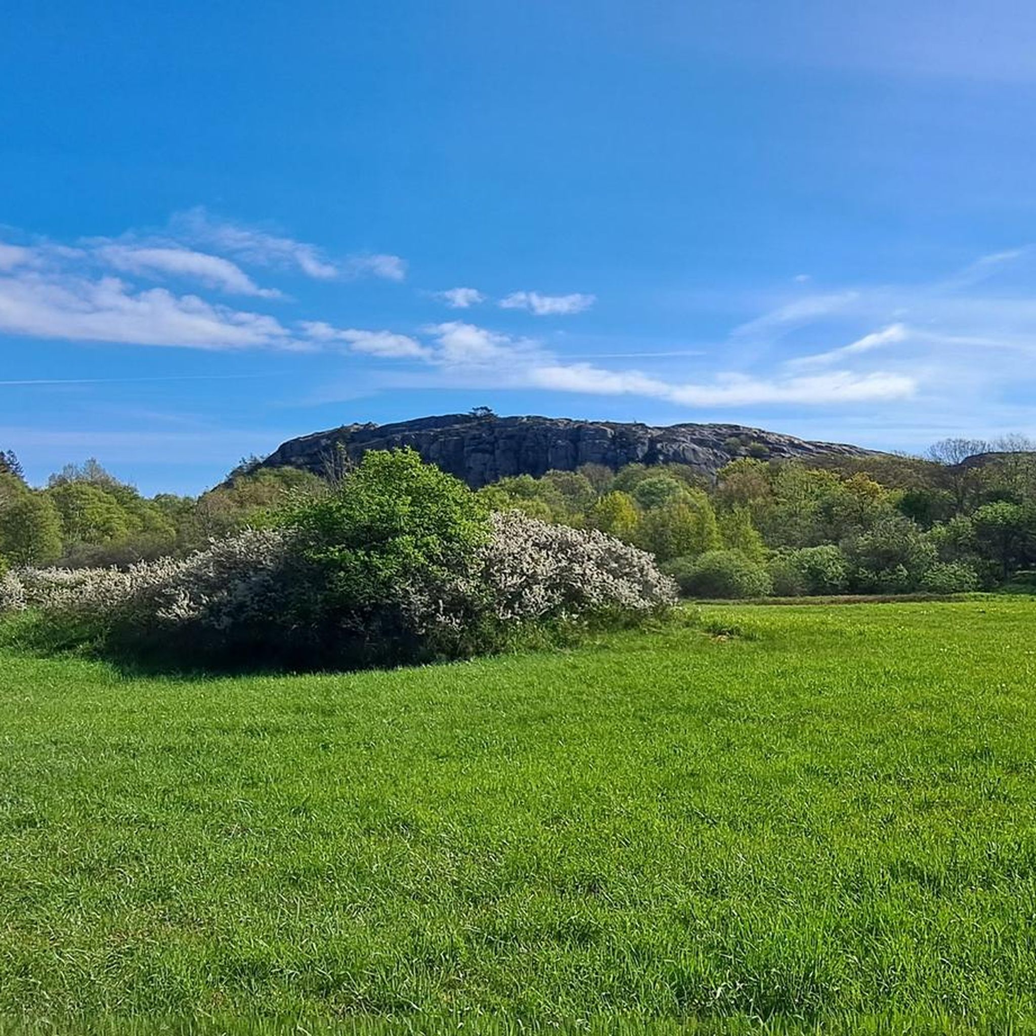
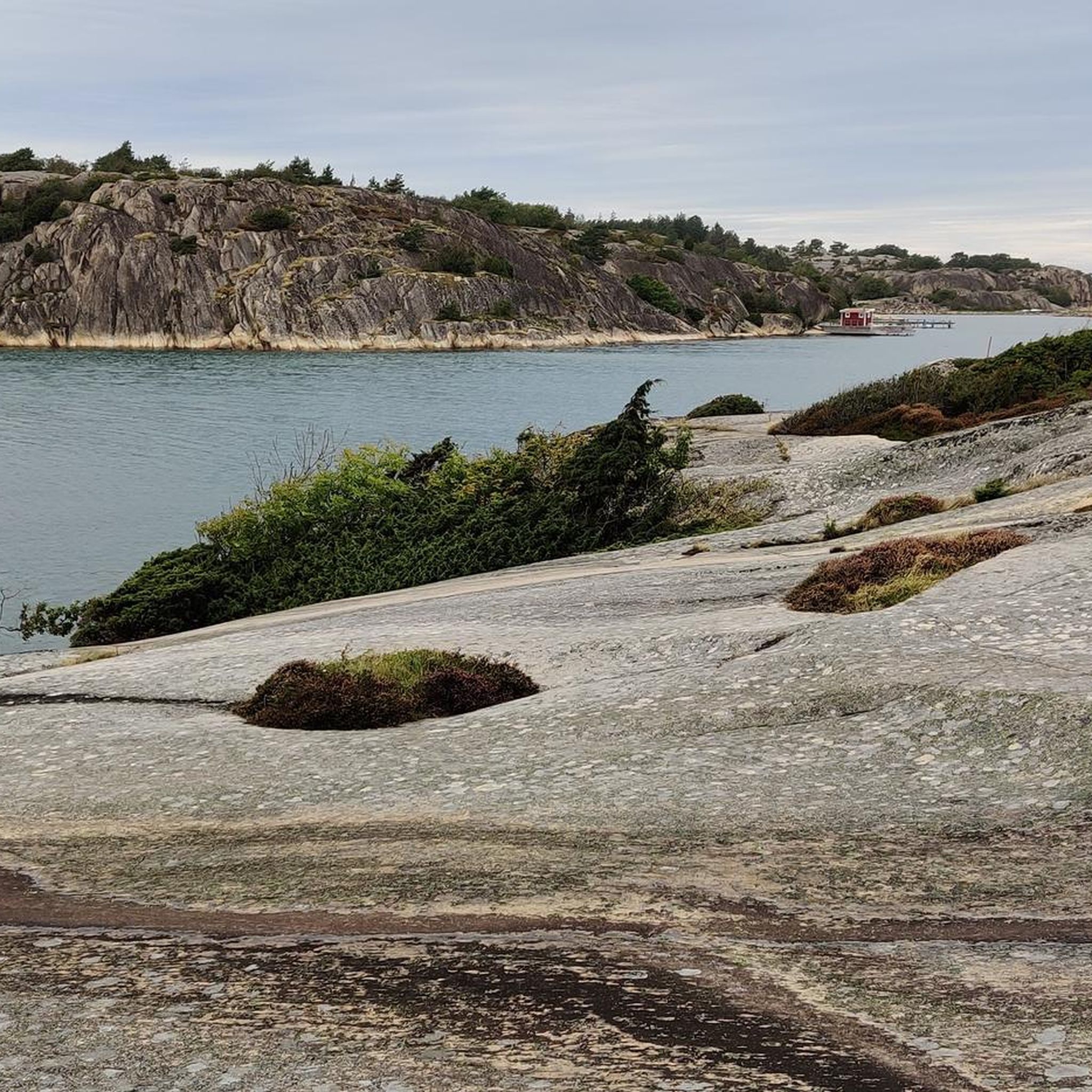
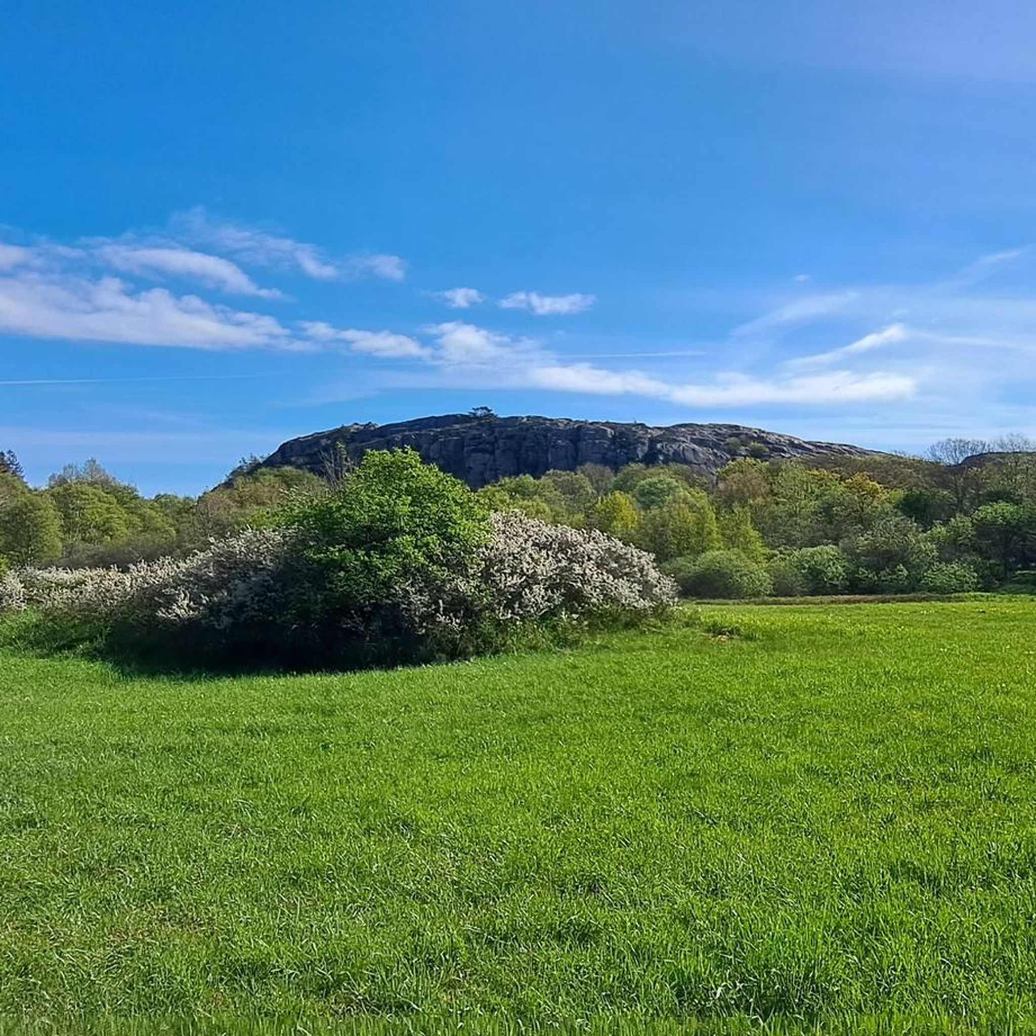
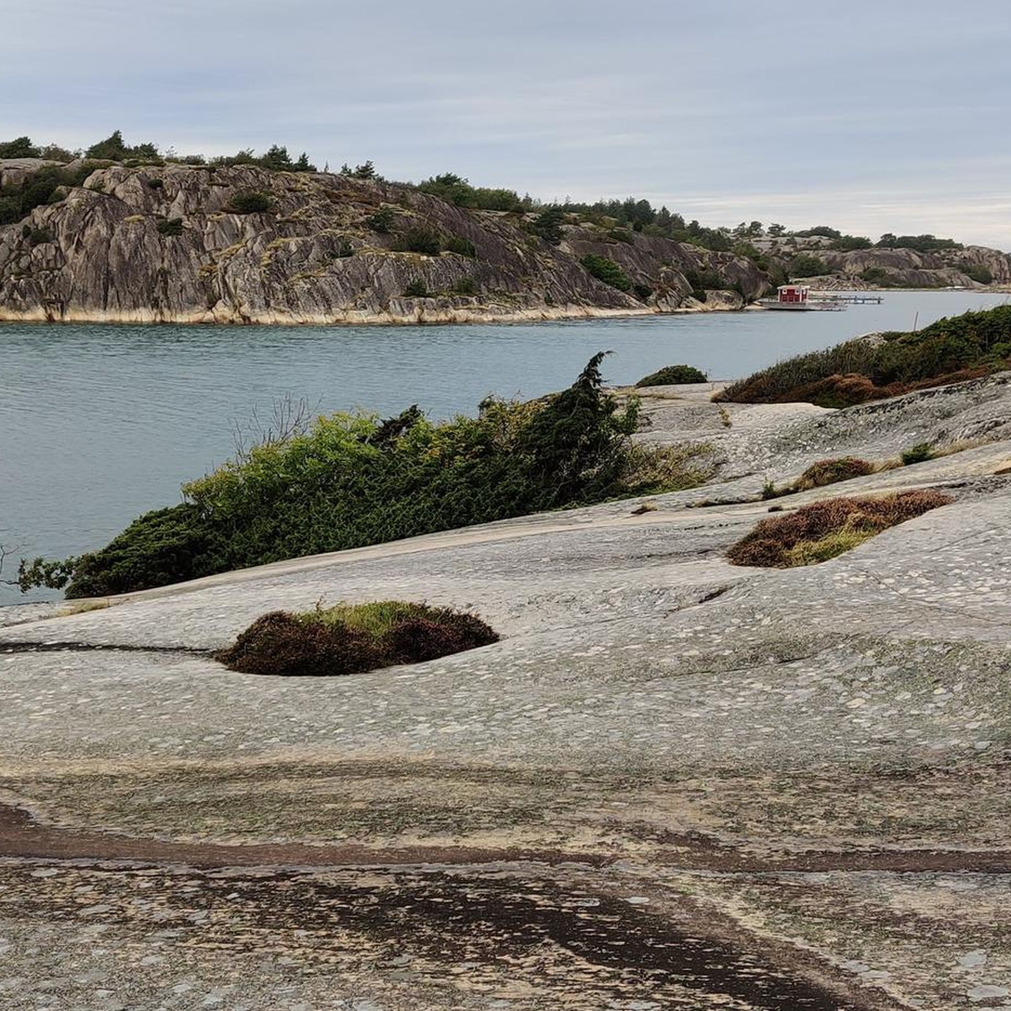
Touring cycling around Ramsvikslandets naturreservat features a diverse landscape characterized by wave-worn red Bohus granite cliffs and varied terrain including heaths, meadows, and pine forest. The area presents a mix of coastal environments and inland sections, with visible traces of the Ice Age such as giant's cauldrons and glacial striations. Sea views are common, particularly from the southern part of Ramsvik, and the Sote Canal, constructed in the 1930s, separates the reserve from the mainland. The routes offer a range…
Last updated: May 17, 2026
4.6
(10)
44
riders
52.3km
03:11
480m
480m
Hard bike ride. Very good fitness required. Mostly paved surfaces. Suitable for all skill levels.
5.0
(2)
12
riders
18.3km
01:05
110m
120m
Easy bike ride. Great for any fitness level. Mostly paved surfaces. Suitable for all skill levels.

Sign up for free
18
riders
18.4km
01:06
140m
140m
Easy bike ride. Great for any fitness level. Mostly paved surfaces. Suitable for all skill levels.
3.0
(1)
10
riders
15.8km
01:03
140m
140m
Easy bike ride. Great for any fitness level. Mostly paved surfaces. Suitable for all skill levels.
5.0
(3)
7
riders
13.9km
00:54
100m
100m
Easy bike ride. Great for any fitness level. Mostly paved surfaces. Suitable for all skill levels.
Get access to more routes and recommendations from other explorers.
Sign up for free
Already have an account?
Our route recommendations are based on thousands of hikes, rides, and runs completed by other people on komoot.
Start today with a free account
Your next adventure awaits.
Login or Signup
Tips from the Community

The bridge marks the boundary of the Klevekilens nature reserve. Here you can observe a wide variety of bird species along the coast.
0
0

Numerous sailboats pass through the Sote Canal in summer; fortunately, this bridge is rotatable, allowing even boats with tall masts to pass through. The spectacle can be easily observed from the picnic stop next to it.
0
0
Here you have a beautiful view of the Sotekanalen and the picturesque rocks around it. The ships seem to be sailing almost across the meadow.
0
0


Be sure to stop for a break at the café in the beautiful garden. The most beautiful spot there is the stone bench on the rock. From there, you have the best view. And the rhubarb crumble cake is absolutely delicious.
0
0
Riding over here on a bike is simply amazing. Don't miss it.
0
0

Be sure to leave your bikes at the harbor and follow the circular path over the rocks! 🤩
0
0

The views from the bridge of picture perfect Smögen are breath-taking; and if you reached here via the steps from the waterside you're probably already struggling!
1
0
Frequently Asked Questions
How many touring cycling routes are available in Ramsvikslandets naturreservat?
There are over 40 touring cycling routes in Ramsvikslandets naturreservat, offering a wide range of experiences for different skill levels. This includes 11 easy routes, 26 moderate routes, and 5 more challenging options.
What kind of terrain can I expect on touring cycling routes in Ramsvikslandets naturreservat?
The terrain is quite varied, characterized by wave-worn red Bohus granite cliffs, heaths, meadows, and some pine forest. You'll find a mix of surfaces, from paved roads to forest paths. Some routes might include segments with more robust surfaces, but many are suitable for touring cyclists seeking scenic rides.
Are there routes suitable for beginners or those looking for an easy ride?
Yes, Ramsvikslandets naturreservat offers several easy routes. For instance, the View of Smögen from Kungshamn – Smögen Harbor loop from Väjern is an easy 11.4-mile path providing scenic coastal views. Another accessible option is the Sotekanalsbron Bridge – Scenic Route to Ramsvikslandet loop from Väjern, which is 11.5 miles long and leads through coastal areas.
What are some notable natural features or landmarks I can see while cycling?
Ramsvikslandet is known as 'The Kingdom of the Rocks,' featuring stunning wave-worn red Bohus granite cliffs and visible traces of the Ice Age like giant's cauldrons and glacial striations. You can also enjoy magnificent sea views, particularly from Tryggö, the southern part of Ramsvik. The Ramsvikslandet Nature Reserve itself is a highlight, as are the dramatic Ramsvikslandet Cliffs.
Are there any historical or cultural attractions along the cycling routes?
Yes, the area has historical significance. On Tryggö, you can find King Tryggve's Grave, a large cairn from the late Bronze Age. The picturesque Fykan Coastal Village offers scenic views, and the Tångevik Coastal Landscape, a former granite loading point, provides glimpses of abandoned fishing boats. The Sote Canal, constructed in the 1930s, is also a notable feature.
Are there any loop trails for touring cyclists?
Yes, many of the touring cycling routes in Ramsvikslandets naturreservat are designed as loops, allowing you to start and end at the same point. Examples include the Näsekilen Harbor, Hovenäset – Kungshamn Harbor loop from Väjern and the Sotekanalsbron Bridge – Wooden Pier over the Water loop from Väjern.
What do other touring cyclists enjoy the most about cycling in Ramsvikslandets naturreservat?
The area is highly rated by the komoot community, with an average score of 4.5 stars from over 140 reviews. Reviewers often praise the diverse landscape, from dramatic coastal cliffs to peaceful heaths and meadows, and the stunning sea views available along many routes.
Is Ramsvikslandets naturreservat suitable for family cycling trips?
Yes, with a good selection of easy and moderate routes, Ramsvikslandets naturreservat can be suitable for families. Routes with mostly paved surfaces and lower elevation gains, such as the easy coastal loops, are generally recommended for family outings. Always check the specific route details for distance and terrain to ensure it matches your family's abilities.
Are there options for bike rental near Ramsvikslandets naturreservat?
While specific rental locations are not detailed in the route information, the region is popular for cycling, and some local businesses in nearby towns may offer bike rentals. It's advisable to check with local tourist information centers or search online for rental services in the vicinity of Ramsvikslandet before your visit.
What is the best time of year to go touring cycling in Ramsvikslandets naturreservat?
The warmer months, from late spring to early autumn, generally offer the most pleasant conditions for touring cycling. During this period, the weather is milder, and the natural landscape is vibrant. While winter cycling is possible, conditions can be challenging due to colder temperatures and potentially icy or snowy paths.
Are there any cafes or amenities along the cycling routes?
While the routes themselves traverse natural landscapes, the region has coastal villages and towns nearby. For example, the Gerlesborg Waterfront and Café – Svenneby Church loop from Väjern specifically mentions a café, indicating that amenities can be found in or near settlements along some routes. It's always a good idea to plan your stops and carry sufficient water and snacks.
Where can I park my car when starting a cycling route in Ramsvikslandets naturreservat?
Parking facilities are typically available at common starting points for trails and attractions within or near the nature reserve. Look for designated parking areas in villages or at trailheads. Specific parking information is often provided on local signage or detailed route descriptions.
Most popular routes around Ramsvikslandets naturreservat
Most popular attractions around Ramsvikslandets naturreservat

Get inspired with the komoot mobile app


Explore more
Browse the best Cycling routes in other regions.
