The best walks and hikes around Villar Del Cobo
4.5
(192)
1,312
hikers
58
hikes
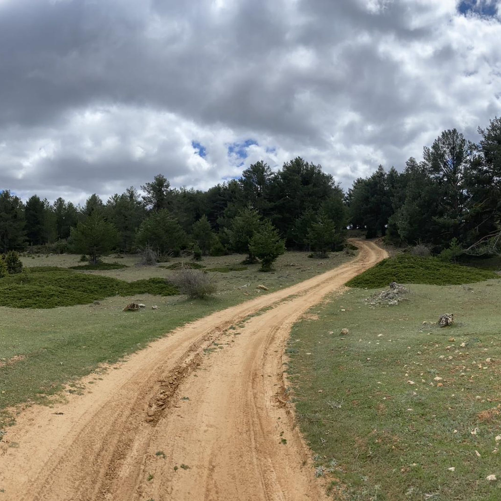
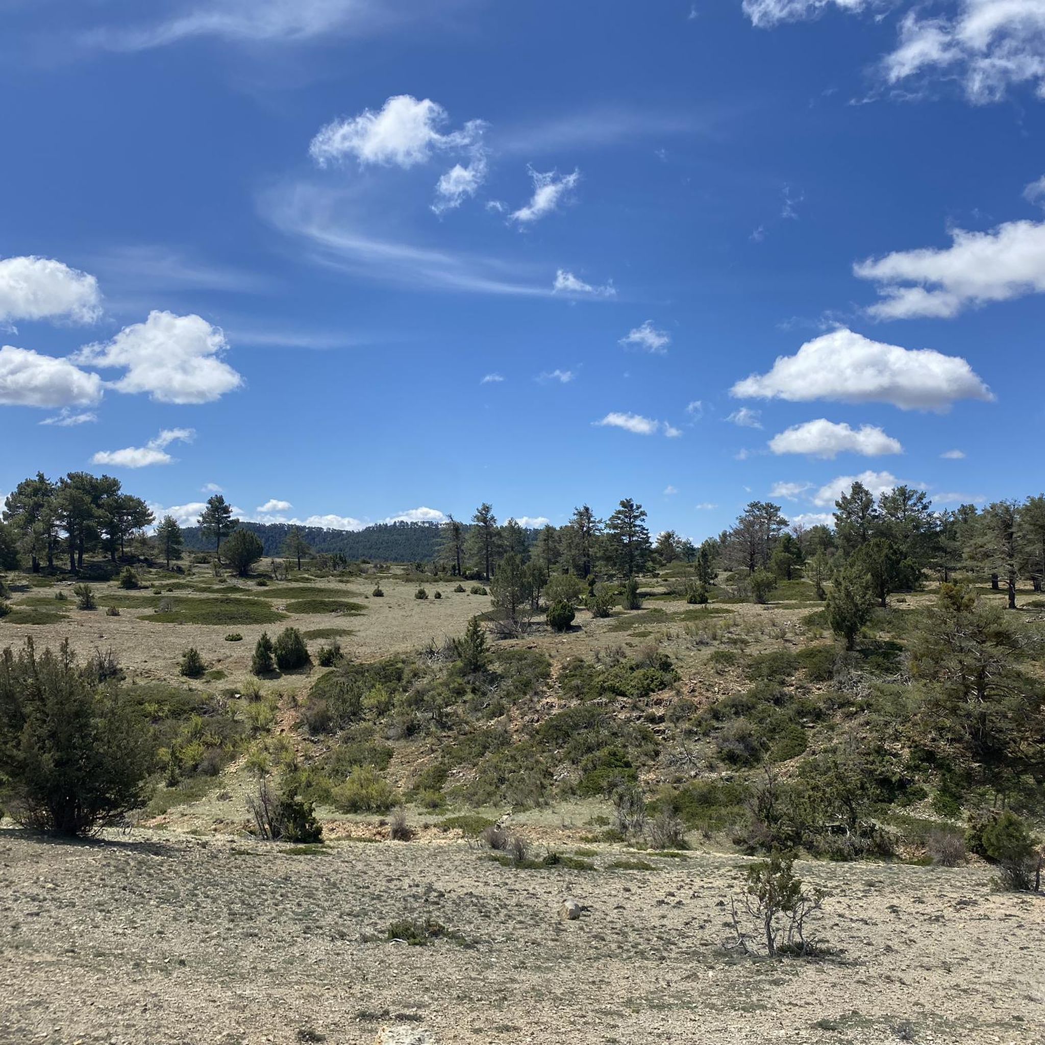
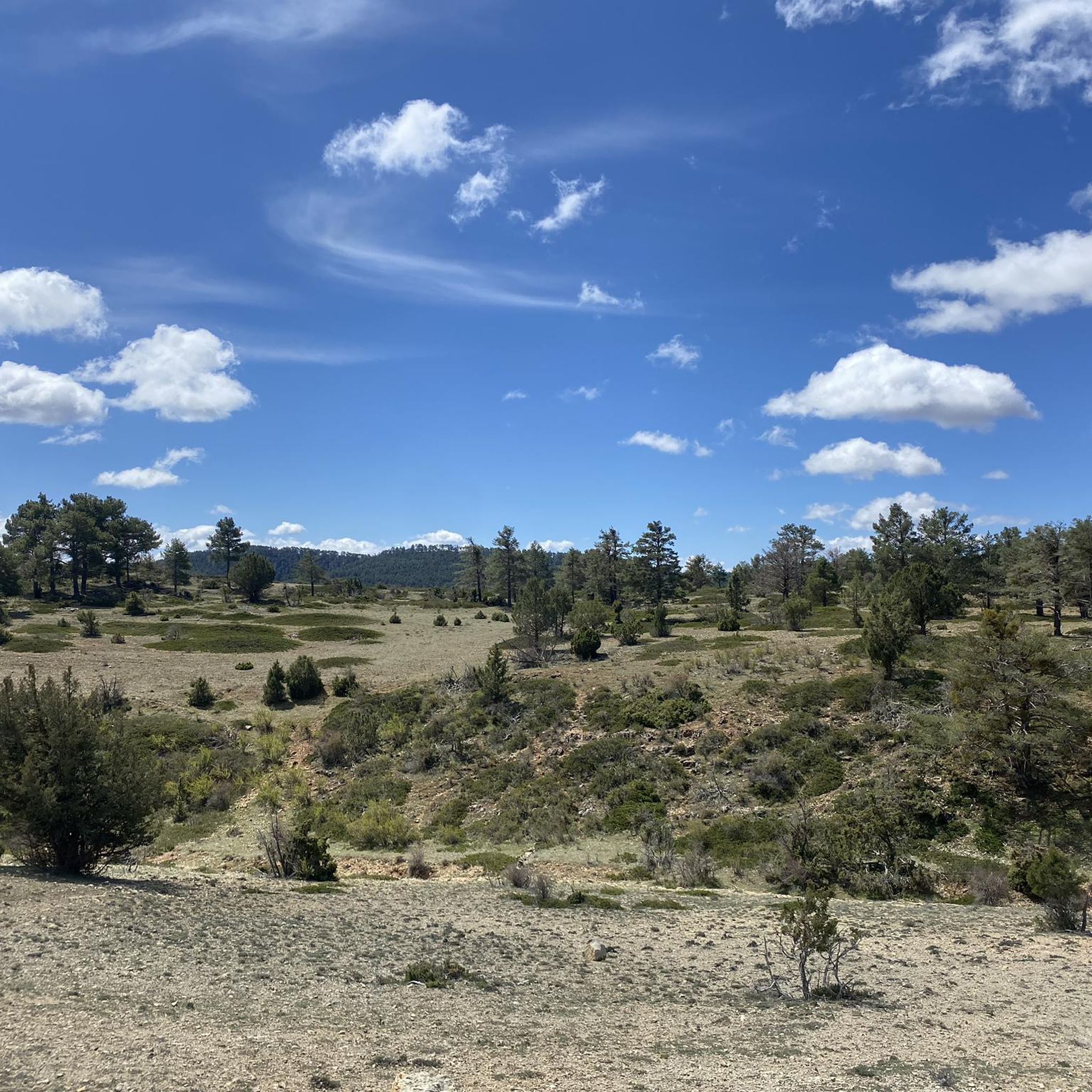
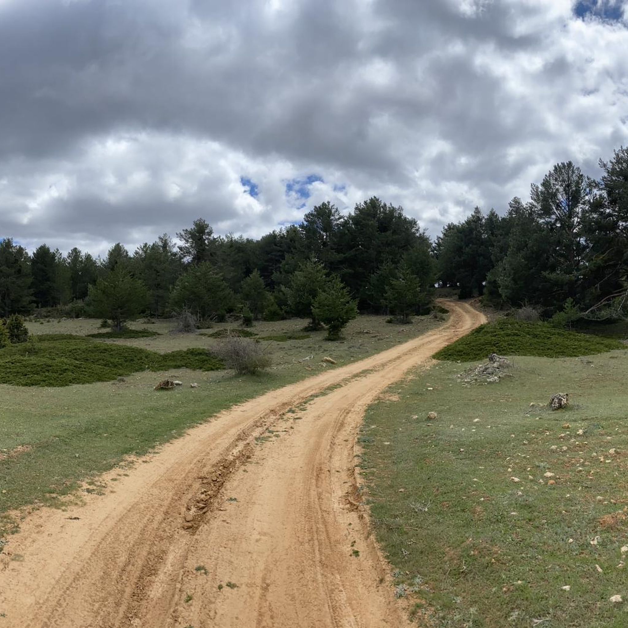
Hiking around Villar Del Cobo offers access to varied terrain characterized by deep ravines, river valleys, and elevated plateaus. The landscape features a mix of forested areas and open spaces, providing diverse environments for outdoor exploration. This region is known for its natural geological formations and water features, making it suitable for different types of hiking experiences.
Best hiking trails around Villar Del Cobo
- The most popular hiking route is Ravine of La Hoz from Calomarde (SL-TE 40), a…
Last updated: October 4, 2026
1
hikers
10.5km
02:50
140m
130m
Moderate hike. Good fitness required. Easily-accessible paths. Suitable for all skill levels.
1
hikers
13.4km
03:35
150m
150m
Hike the 8.3-mile (13.4 km) moderate GR 10.1 section from Guadalaviar to Griegos, featuring the scenic River Guadalaviar canyon.

5.0
(2)
14
hikers
Moderate hike. Great for any fitness level. Mostly accessible paths. Sure-footedness required.
5.0
(1)
16
hikers
10.3km
02:59
270m
270m
Moderate hike. Good fitness required. Easily-accessible paths. Suitable for all skill levels.
5.0
(1)
8
hikers
9.12km
02:26
90m
90m
Moderate hike. Good fitness required. Easily-accessible paths. Suitable for all skill levels.
Get access to more routes and recommendations from other explorers.
Already have an account?
Our route recommendations are based on thousands of hikes, rides, and runs completed by other people on komoot.
Start today with a free account
Your next adventure awaits.


Other adventures around Villar Del Cobo

Tips from the Community

One of the many impressive suspension bridges in this gorge.
16
0
The suspension bridges give the route something special. The icing on the cake are the sections of suspension bridge in the tunnels, beautiful. During the week it's not busy, really enjoy this top tour.
15
0
Ruin.... the old mill has almost entirely returned to nature.
15
0

Puerto del Cubillo is located in the Serranía Alta de Cuenca mountain range, a mountainous region known for its natural beauty and hiking trails. One of the most notable routes is the one that leads to Pico Mogorrita, the highest point in the Serranía de Cuenca mountain range at 1,864 meters. This route begins at Puerto del Cubillo and offers stunning views and the chance to see local wildlife such as deer and roe deer.
29
0
Griegos is a charming village located in the Albarracín mountain range. Griegos is also known for being one of the highest villages in Spain, at 1,601 meters above sea level. It's also a perfect place to enjoy outdoor activities such as horseback riding, hiking, and mountain biking.
25
0
Griegos is a charming village located in the Serranía de Albarracín. Griegos is also known for being one of the highest villages in Spain, at 1601 meters above sea level. In addition, it is a perfect place to enjoy outdoor activities such as horse riding, hiking and mountain biking.😎🌄🚶♀️🚴🚵
12
0

Top of Mogorrita hill. Very good views of the mountains and the Cubillo port.
1
0
Views of the Cuenca mountain range near the source of the Tagus River.
0
0
Frequently Asked Questions
How many hiking trails are available around Villar Del Cobo?
There are over 45 hiking trails around Villar Del Cobo, offering a wide range of options for different skill levels and preferences. You'll find everything from easy strolls to more challenging, longer routes.
What is the general difficulty level of hiking trails in Villar Del Cobo?
The trails around Villar Del Cobo cater to various abilities. The majority of routes, about 36, are considered moderate. There are also 9 easy trails perfect for a relaxed outing, and 3 more difficult routes for experienced hikers seeking a challenge.
Are there any family-friendly hiking options in Villar Del Cobo?
Yes, Villar Del Cobo offers several easy trails suitable for families. For instance, the Barranco de la Hoz Trail is an easy 2.9-mile (4.6 km) path that provides a shorter, enjoyable outing through the Barranco de la Hoz, ideal for families.
What kind of natural attractions can I expect to see along the hiking trails?
The region is known for its natural geological formations and water features. Along the trails, you can discover impressive gorges like Barranco Mingo Marco and the unique Moricacho of the Gorge. Many routes also feature river valleys and elevated plateaus offering scenic views.
Are there any historical sites or points of interest to explore while hiking?
Yes, you can encounter historical elements such as the Molino de las Pisadas, an old mill, which adds a cultural dimension to your hike. The nearby settlement of Griegos is also a point of interest.
What do other hikers say about the trails in Villar Del Cobo?
The trails in Villar Del Cobo are highly regarded by the komoot community, boasting an average rating of 4.7 stars from over 130 reviews. Hikers often praise the varied terrain, the distinct geological features of the ravines, and the overall natural beauty of the area.
Are there any longer, more challenging routes for experienced hikers?
For those seeking a greater challenge, the region offers longer and more demanding routes. The Tramacastilla - Villar del Cobo via the Barranco del Guadalaviar (PR-TE 1) is a difficult 16.4-mile (26.4 km) trail that provides a significant endurance test through the rugged landscape.
Can I find circular hiking routes in Villar Del Cobo?
Yes, many of the trails in Villar Del Cobo are designed as circular routes, allowing you to start and end your hike at the same point. This is common for trails exploring specific natural features like ravines or elevated areas, such as the popular Ravine of La Hoz from Calomarde (SL-TE 40).
What is the typical duration for hikes in this area?
Hike durations vary significantly depending on the route's length and difficulty. Shorter, easy trails like the Barranco de la Hoz Trail can be completed in under 2 hours, while moderate routes such as Rodeo to Muela de San Juan typically take around 2 hours 50 minutes. Longer, difficult trails can extend to a full day's adventure.
Are there any trails that offer elevated views of the landscape?
Absolutely. The region features elevated plateaus that provide excellent vantage points. The Rodeo to Muela de San Juan trail, for example, leads through elevated terrain, offering expansive views. You can also find specific viewpoints like La Portera Refuge and Viewpoint.
What kind of terrain can I expect on the trails around Villar Del Cobo?
The terrain is quite varied, characterized by deep ravines, river valleys, and elevated plateaus. You'll encounter a mix of forested areas, especially in the valleys, and more open spaces on the higher ground, providing a diverse hiking experience.
Most popular routes around Villar Del Cobo
Most popular attractions around Villar Del Cobo

Get inspired with the komoot mobile app


Explore more
Browse the best Hikes in other regions.
