The best cycling routes around Hornos
4.1
(12)
275
riders
30
rides
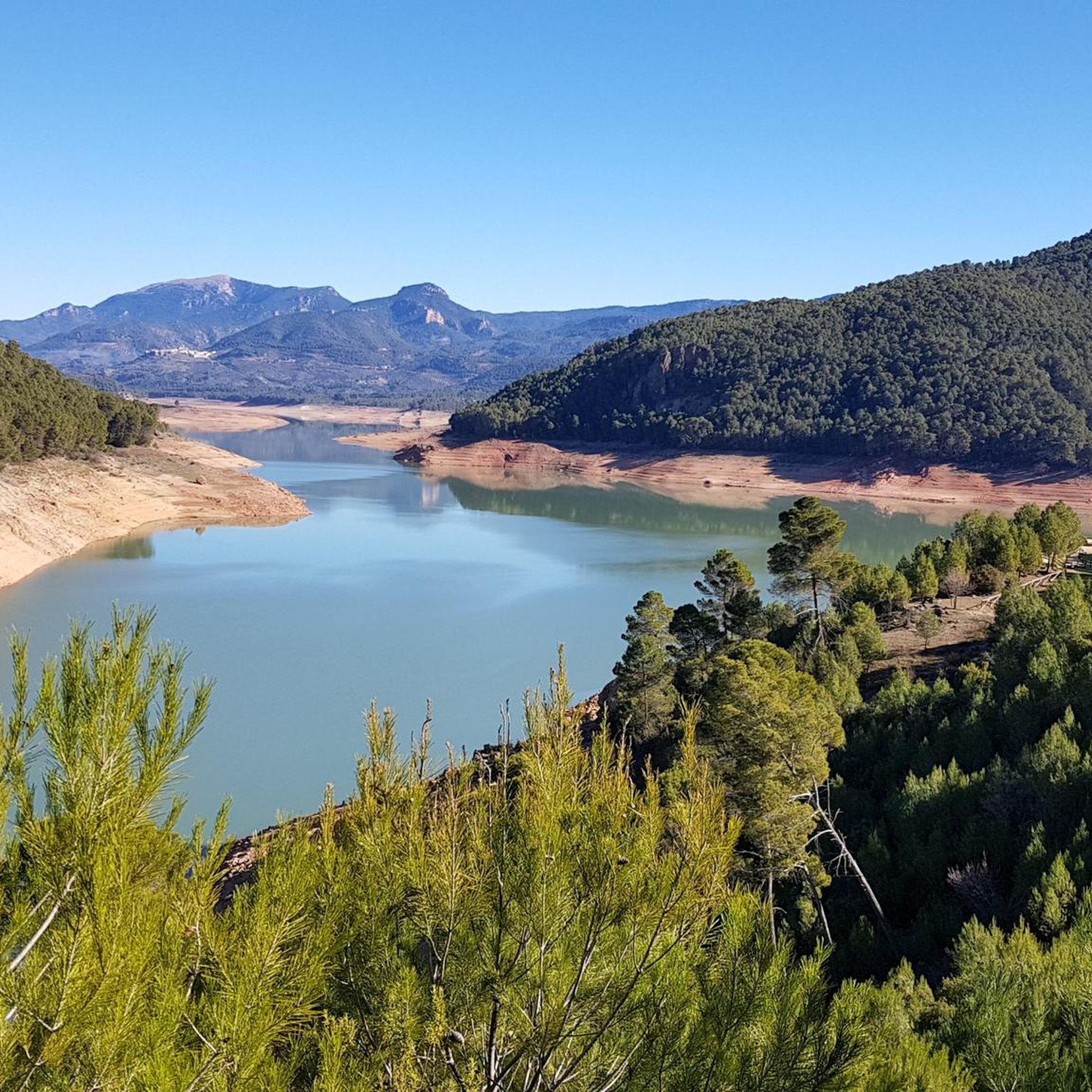
Touring cycling routes around Hornos are situated within the Sierra de Segura Mountains, part of the expansive Sierras de Cazorla, Segura y Las Villas National Park. The region presents a diverse "orographic labyrinth" of valleys, limestone plateaus, gorges, and mountains, offering varied terrain for cyclists. A prominent natural feature is the Tranco de Beas reservoir, which provides scenic routes along its shores. This area is characterized by significant altitude changes and lush, verdant scenery due to numerous rivers and extensive…
Last updated: October 13, 2026
25
riders
74.8km
05:38
1,160m
1,160m
Hard bike ride. Very good fitness required. Mostly paved surfaces. Suitable for all skill levels.
9
riders
89.3km
06:29
1,960m
1,950m
Hard bike ride. Very good fitness required. Mostly paved surfaces. Suitable for all skill levels.

9
riders
53.7km
04:43
1,400m
1,400m
Hard bike ride. Very good fitness required. Mostly paved surfaces. Suitable for all skill levels.
7
riders
111km
07:53
2,170m
2,170m
Hard bike ride. Very good fitness required. Mostly paved surfaces. Suitable for all skill levels.
6
riders
44.6km
03:18
1,020m
1,020m
Hard bike ride. Very good fitness required. Mostly paved surfaces. Suitable for all skill levels.
Get access to more routes and recommendations from other explorers.
Already have an account?
Our route recommendations are based on thousands of hikes, rides, and runs completed by other people on komoot.
Start today with a free account
Your next adventure awaits.
Popular around Hornos

Bikepacking the mountains and deserts of Andalucía

Wild and free Andalusia – Transandalus through the interior
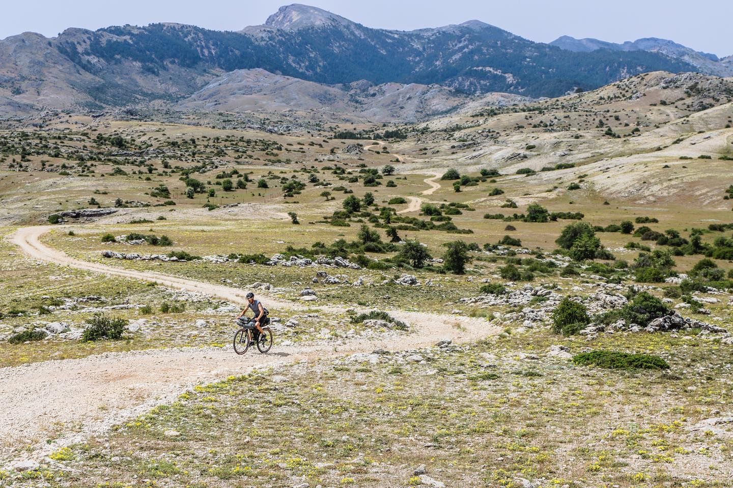
A wild experience – Sierra de Cazorla, Segura y Las Villas (GR 247)
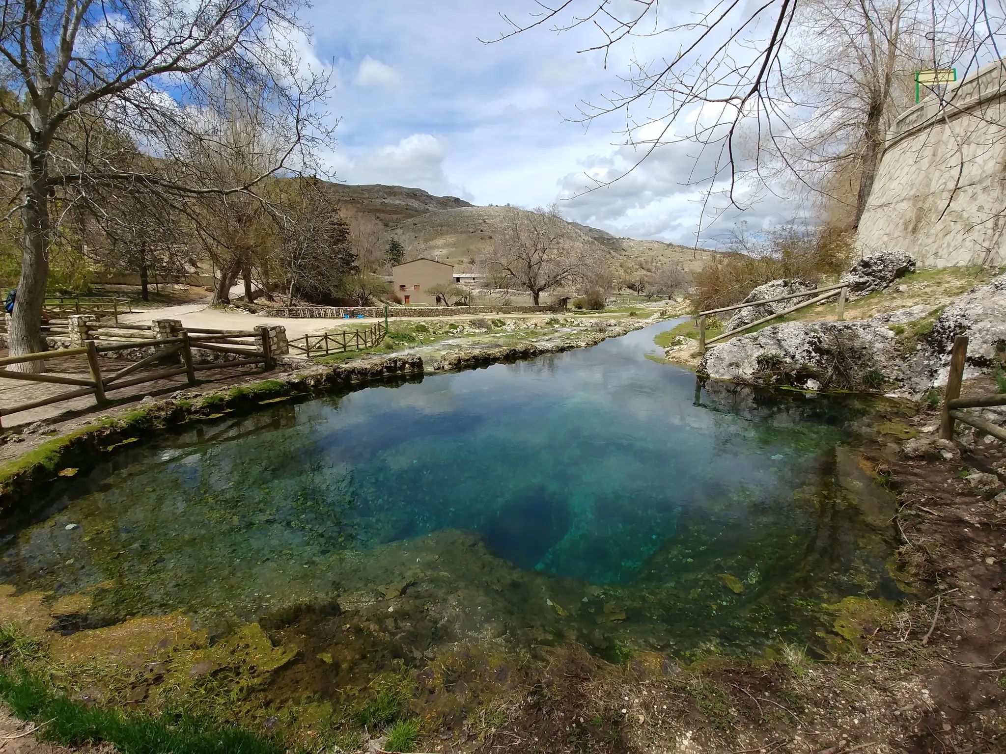
Transhumance in the Sierra de Segura – hiking the GR 144
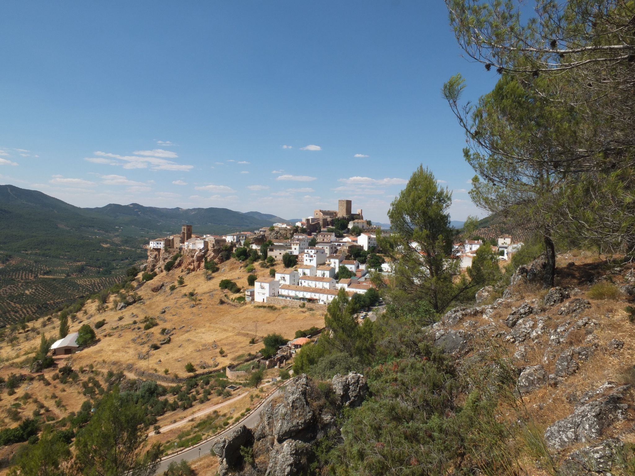
Mountains and olive groves in the Sierra de Segura – GR 146

A circular high altitude trail – Bosques del Sur (GR 247)
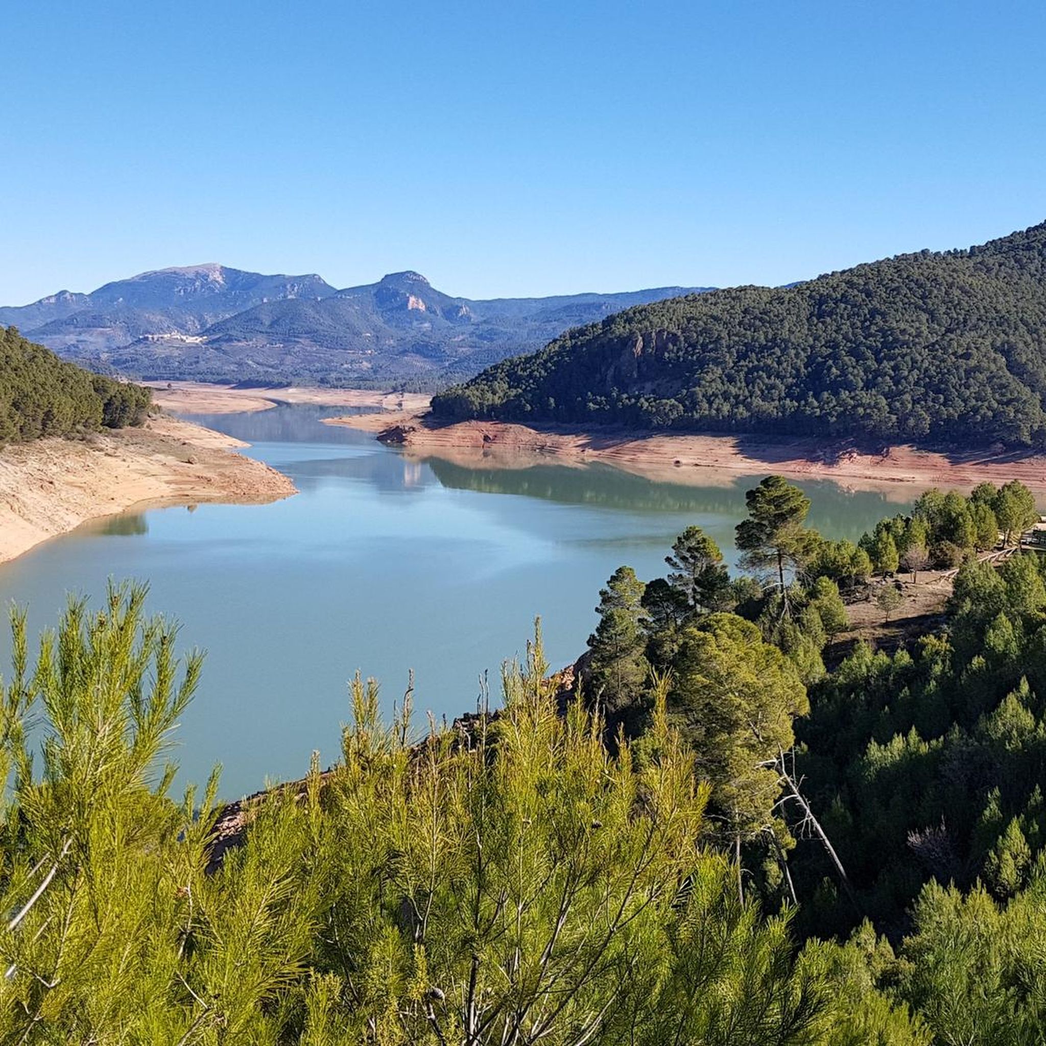
Road Cycling Routes around Hornos
MTB Trails around Hornos
Hiking around Hornos
Running Trails around Hornos
Other adventures around Hornos


Tips from the Community

House of the Lamb
0
0

It is the closest uphill cycling port to the route of the Segura River (I have done the downhill from Poyotello to Huelga Utrera, passing by the Cueva del Agua). Years ago it was not paved and that made it even more epic, it is 10 kilometres long and would surely be considered a first-class or special port. With asphalt, it continues to be beautiful and demanding, especially from km 6 to 9. If you do it uphill, save your strength for this section.
2
0

Beautiful fish pond, in the middle of the forest.
4
0

Beware - some restaurants only open on weekends. Plenty rural accommodation options available and a small supermarket. The village is very green with many trees, in contrast to the surroundings which are quite bare resembling the Bolivian Altiplano.
1
0

The climb is very demanding but with incredible views below La Toba, a beautiful place and above the canyon, also spectacular.
3
0

This spring located in the village of La Toba, flows very cold water in summer and warm in winter (although the water is always at the same temperature), inviting anyone to cool off or fill up with fresh water.
1
0

Right next to the village of La Toba is the so-called Nacimiento de la Toba, a birthplace with singular beauty where water flows from a cave. Later, the water thrown by this source runs through the village of La Toba until it falls over a waterfall, which in times of rain when the riverbed is abundant, presents one of the most striking landscapes in Santiago-Pontones. To access the Nativity of La Toba we must drive to the village of La Toba and then walk a little until we find the Nativity. The village can be reached by taking the Despiernacaballos road, whose intersection is located on the road that connects Santiago de la Espada and Pontones or from Santiago de La Espada taking the road that takes us to Miller, JV-7107, once Once we arrive at Las Juntas de Miller we will continue along the JF-7038 highway that will take us to La Toba. During the trip along both routes we will be able to enjoy wonderful landscapes.
19
0
Despiernacaballos is a hard and unique climb that connects the Segura river valley with Cañada Hermosa and the road to Santiago de la Espada or Pontones. But that is not all; It allows you to suffer during the ascent and enjoy the views of the Segura river valley at every turn. A true privilege reserved for a few intrepid 💪
0
0
Frequently Asked Questions
What kind of terrain can I expect when touring cycling around Hornos?
The region around Hornos, nestled within the Sierra de Segura Mountains, offers a diverse "orographic labyrinth" of valleys, limestone plateaus (calares), gorges, and mountains. You can expect varied terrain, from routes along the shores of the Tranco de Beas reservoir to challenging ascents with significant altitude changes through wooded areas. The landscape is generally lush and verdant due to numerous rivers and extensive pine forests.
Are there any easier touring cycling routes suitable for beginners in Hornos?
While many routes in Hornos feature significant elevation changes, there is at least one easy touring cycling route available. For example, the Bike loop from Osuna is an easier option, covering 8.3 miles (13.4 km) with a more modest elevation gain. This route is a good starting point for those new to cycling in the area.
What are some of the more challenging touring cycling routes around Hornos?
Hornos is known for its challenging routes with considerable elevation changes. A popular difficult option is the C.F. El Campillo Shelter – Segura de la Sierra loop from Cementerio Municipal, which is 29.8 miles (47.9 km) long and navigates through wooded areas. Another demanding route is the Tranco de Beas Reservoir – Segura de la Sierra loop from Mirador del Control Viejo, covering 55.5 miles (89.3 km) with nearly 2,000 meters of ascent.
What natural features can I see along the touring cycling routes near Hornos?
The region is rich in natural beauty. Many routes offer views of the expansive Tranco de Beas reservoir. You can also explore areas with significant hydrological importance, including the Source of the Segura River. For those interested in waterfalls, highlights like Charco del Humo and El Saltaor Waterfall are nearby. The area also features unique limestone plateaus and lush pine forests.
Are there any historical landmarks or cultural attractions to visit while cycling in Hornos?
Yes, Hornos itself is perched on a hill, offering panoramic views. The village's historical core features a Mudejar castle, which now houses a Cosmolarium, an astronomy museum. This provides a unique cultural stop. Additionally, the region is dotted with various viewpoints, such as the Isla Cabeza de la Viña Viewpoint, offering stunning vistas of the surrounding landscapes.
What do other touring cyclists enjoy the most about touring cycling in Hornos?
The touring cycling routes around Hornos are highly rated by the komoot community, with an average score of 4.3 stars. Cyclists often praise the extensive views of the Tranco de Beas reservoir and the surrounding mountainous landscape. The quiet roads through wooded areas and the significant altitude changes, typical of the Sierra de Segura, are also frequently highlighted as enjoyable aspects of the experience.
Are there any circular touring cycling routes available around Hornos?
Yes, many of the touring cycling routes around Hornos are designed as loops, allowing you to start and end in the same location. A popular example is the Tranco de Beas Reservoir – Tranco de Beas Reservoir loop from Mirador del Control Viejo, which offers extensive views of the reservoir. Another loop option is the El Yelmo Summit (1,808 m) – C.F. El Campillo Shelter loop from Cementerio Municipal, providing a challenging circular tour.
Is it possible to cycle with dogs on the touring routes in Hornos?
The Sierras de Cazorla, Segura y Las Villas National Park, where Hornos is located, generally allows dogs on trails, but they must be kept on a leash to protect wildlife. It's always advisable to check specific regulations for each route or protected area within the park, especially concerning sensitive natural zones. Ensure your dog is fit enough for the terrain and carry sufficient water for both of you.
What is the best time of year to go touring cycling in Hornos?
The region experiences varied seasonal conditions. Spring and autumn generally offer the most pleasant temperatures for touring cycling, with lush landscapes and comfortable weather. Summers can be very hot, especially in the valleys, making early morning or late afternoon rides preferable. Winters can bring colder temperatures and potentially snow at higher elevations, which might limit access to some routes.
Are there cafes or places to stop for refreshments along the cycling routes?
While Hornos itself has amenities, the routes often traverse remote natural areas within the National Park. It's recommended to plan your stops in advance and carry sufficient water and snacks, especially on longer routes. Villages like Segura de la Sierra, which some routes pass through or near, may offer cafes and restaurants. Always check opening hours, especially outside peak season.
Are there any specific permits required for cycling in the Sierra de Cazorla, Segura y Las Villas National Park?
Generally, standard touring cycling on marked trails within the Sierras de Cazorla, Segura y Las Villas National Park does not require specific permits for individual cyclists. However, for organized events, large groups, or off-trail cycling, permits might be necessary. It's always best to consult the official park authority's website or local tourist information for the most up-to-date regulations, especially if you plan any non-standard activities.
How many touring cycling routes are available around Hornos?
There are over 20 touring cycling routes available around Hornos, offering a wide range of options for different skill levels and preferences. These routes allow you to explore the diverse landscapes of the Sierra de Segura Mountains and the Tranco de Beas reservoir area.
Most popular attractions around Hornos

Get inspired with the komoot mobile app


Explore more
Browse the best Cycling routes in other regions.
