The best walks and hikes around Pajares De La Lampreana
2.7
(3)
13
hikers
1
hike
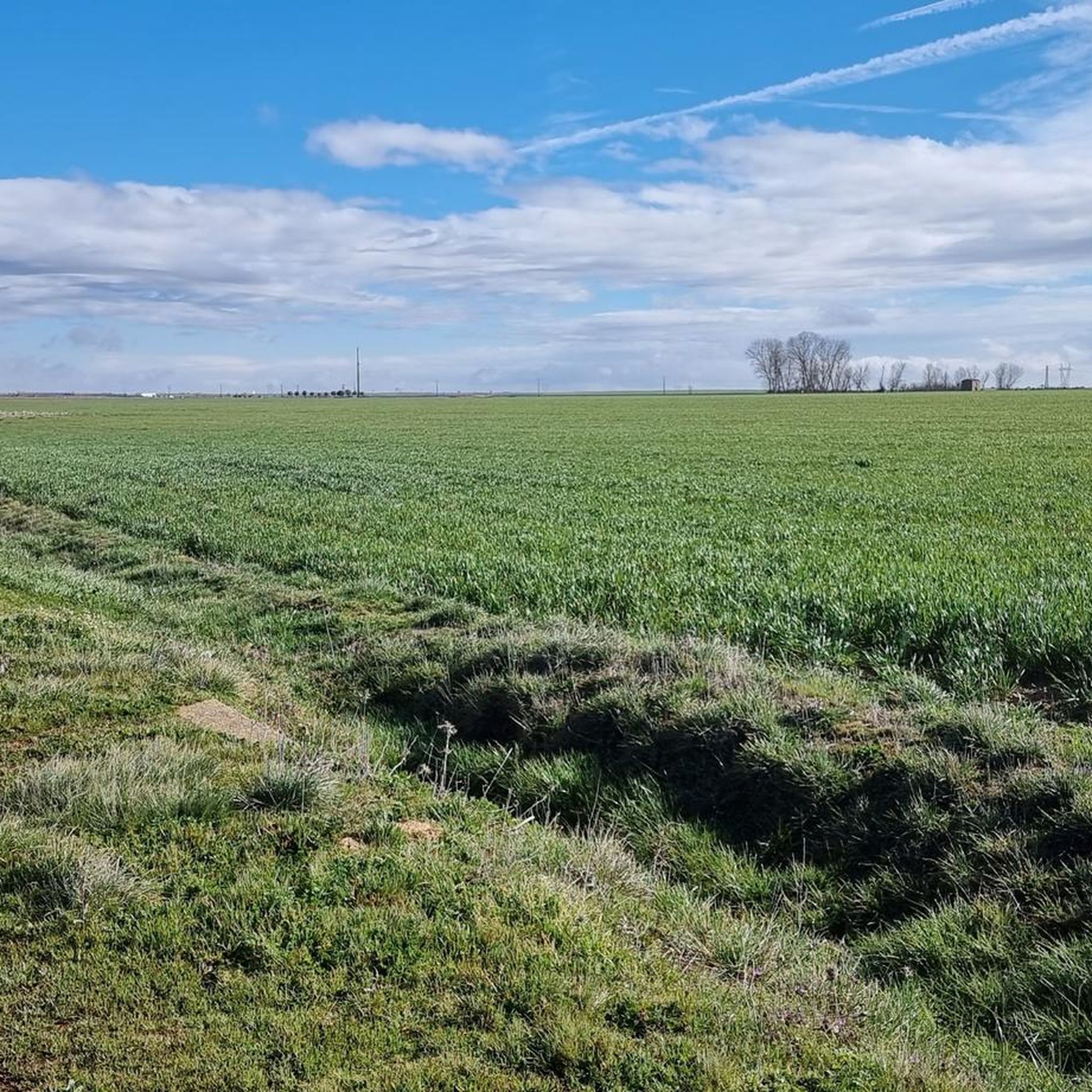
Hiking around Pajares De La Lampreana offers routes through rural landscapes, often following historical paths like the Camino Sanabrés and Vía de la Plata. The terrain is generally gentle, with low elevation gains, making it suitable for various fitness levels. Hikers can explore areas featuring ancient monasteries and castles, providing a blend of natural and cultural interest.
Best hiking trails around Pajares De La Lampreana
- The most popular hiking route is Cistercian Monastery of Santa Maria from Granja de Moruela…
Last updated: May 23, 2026
2.0
(1)
6
hikers
7.83km
01:59
20m
20m
Easy hike. Great for any fitness level. Easily-accessible paths. Suitable for all skill levels.
2.0
(1)
5
hikers
8.03km
02:03
30m
30m
Moderate hike. Good fitness required. Easily-accessible paths. Suitable for all skill levels.

Sign up for free
4.0
(1)
1
hikers
21.6km
05:39
170m
170m
Hard hike. Very good fitness required. Easily-accessible paths. Suitable for all skill levels.
1
hikers
Easy hike. Great for any fitness level. Easily-accessible paths. Suitable for all skill levels.
Moderate hike. Good fitness required. Easily-accessible paths. Suitable for all skill levels.
Our route recommendations are based on thousands of hikes, rides, and runs completed by other people on komoot.
Start today with a free account
Your next adventure awaits.
Login or Signup
Popular around Pajares De La Lampreana
Tips from the Community

This monastery complex, where Cistercians once prayed and worked day after day, even as a ruin still provides impressive evidence of the magnificent architecture. This monastic order (the order's Latin name is "Ordo Cisterciensis") takes its name from the French town of Citeaux in Burgundy, where the first monastery was founded in 1098. It is a reform branch of the Benedictines.
3
1
Even if we always use the term “St. James Way” in the singular in the German language, there is no such thing as “one”. Rather, it is a network of many Ways of St. James that runs through several European countries and then concentrates on a few main routes in Spain (the most famous is the "Camino Frances", which leads from the Pyrenees through the north of Spain). However, in order to get from the south of Spain to Santiago de Compostela in Galicia, a different route is required, which JavierCR and DennisKe have already described briefly.
2
0

Leaving Granja de Moreruela you reach an important crossing of the Vía de la Plata: towards the north, Astorga and the Camino Francés; Towards the northwest, Sanabria and Ourense. In which direction are you dreaming?
2
0
Spectacular stone bridge with 9 symmetrical arches that crosses the Esla River. It was built in 1920 to connect the trade route between the Zamora regions of Tierra de Campos and Tábara. The bridge is located on the Jacobean route known as Camino Mozárabe Sanabrés, which allows pilgrims to cross into Zamora and Galicia beyond.
3
1
The Quintos bridge over the Esla river is located on the road between Zamora and Galicia. It unites the Zamora regions of Tierra de Tábara and Tierra de Campos, forming a link on the Camino de Santiago Sanabrés.
4
1
Fortified castle from the 12th century that protects the important commercial route and bridge over the Esla river. The structure and the protective walls have been modified several times during the medieval period.
1
0
Important historical monument built in the 12th century monastery at the request of Emperor Alfonso VII. The monastery is located on the Vía de la Plata. Over the years, the monastery suffered weather damage and has been preserved as such ever since.
1
1
Large 12th century monastery built at the request of Emperor Alfonso VII located on the Jacobean route of the Vía de la Plata. The monastery suffered weather damage in the 19th century and has been preserved as such ever since.
1
1
Frequently Asked Questions
What types of hiking trails can I find in Pajares De La Lampreana?
Pajares De La Lampreana offers a variety of hiking trails, primarily through rural landscapes and along historical pilgrimage routes like the Camino Sanabrés and Vía de la Plata. The terrain is generally gentle, with options ranging from easy walks to more challenging long-distance paths, often leading to ancient monasteries and castles.
Are there any easy hiking routes suitable for beginners or casual walkers?
Yes, there are several easy routes. For example, the Cistercian Monastery of Santa Maria from Granja de Moruela is an easy 4.9-mile (7.8 km) trail that takes you to a historic monastery. Another easy option is the Castle of Castrotorafe - round trip via the Silver Way from Fontanillas de Castro, which is 3.7 miles (6 km).
Can I find moderate hiking trails in Pajares De La Lampreana?
Absolutely. Trails like the Camino Sanabrés and Moreruela Monastery Loop offer a moderate challenge, combining sections of the historic Camino Sanabrés with views of the Moreruela Monastery over 5 miles (8 km). Another moderate option is the Vía de la Plata from Granja de Moreruela – circular by the Monasterio Cisterciense de Santa Maria de Moreruela, which is 6.5 miles (10.4 km).
Are there any long-distance or more challenging hikes available?
Yes, for those seeking a longer challenge, the Camino Sanabrés: Moreruela Monastery Loop is a 13.4-mile (21.6 km) trail that follows historical pilgrimage routes and typically takes around 5 hours 39 minutes to complete.
What historical landmarks or points of interest can I see while hiking?
The region is rich in history. You can explore the ruins of Castrotorafe Castle, visit the San Juan Church and Pilgrim Hostel in Granja de Moreruela, or discover the Hermitage of the Virgin of the Castle. Many trails also follow sections of the historic Camino de la Plata.
Are there any circular walks in the area?
Yes, several routes are circular, allowing you to start and end at the same point. Examples include the Camino Sanabrés and Moreruela Monastery Loop and the Vía de la Plata from Granja de Moreruela – circular by the Monasterio Cisterciense de Santa Maria de Moreruela.
What do other hikers enjoy most about hiking in Pajares De La Lampreana?
The area is highly rated by the komoot community, with an average score of 2.7 stars. Hikers often appreciate the blend of natural rural landscapes with the rich historical and cultural landmarks, particularly the ancient monasteries and pilgrimage routes.
Is the terrain in Pajares De La Lampreana suitable for families with children?
The terrain in Pajares De La Lampreana is generally gentle with low elevation gains, making many of the easier routes suitable for families. Trails that are shorter and less strenuous, such as those leading to historical sites, can be particularly enjoyable for children.
Are there any specific viewpoints or scenic spots along the trails?
While specific viewpoints are not explicitly listed, the trails often pass by significant historical structures like the Moreruela Monastery and Castrotorafe Castle, which offer scenic vistas of the surrounding rural landscape. The Junction of Camino Sanabrés and Via de la Plata also provides a unique historical perspective.
What is the best time of year to go hiking in Pajares De La Lampreana?
Given the rural and open nature of the landscape, spring and autumn are generally ideal for hiking in Pajares De La Lampreana. The weather is typically milder, and the natural scenery is vibrant. Summer can be hot, so early mornings or late afternoons are recommended if hiking during this season.
How many hiking routes are available in Pajares De La Lampreana?
There are several hiking routes documented in Pajares De La Lampreana, offering a range of distances and difficulties to explore the region's historical paths and rural charm.
Most popular routes around Pajares De La Lampreana
Most popular attractions around Pajares De La Lampreana

Get inspired with the komoot mobile app


Explore more
Browse the best Hikes in other regions.
