The best walks and hikes around Miera
4.3
(304)
1,351
hikers
131
hikes
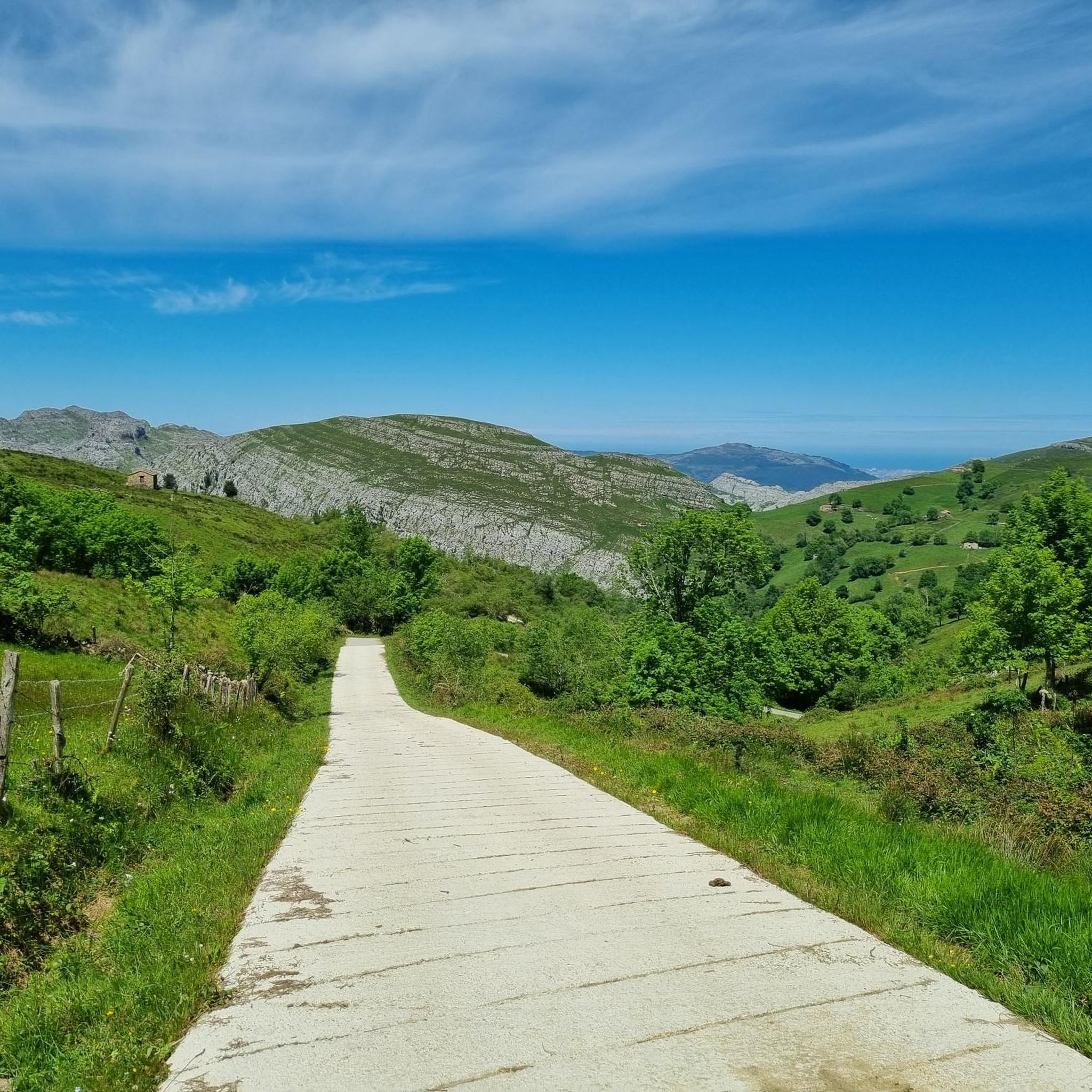
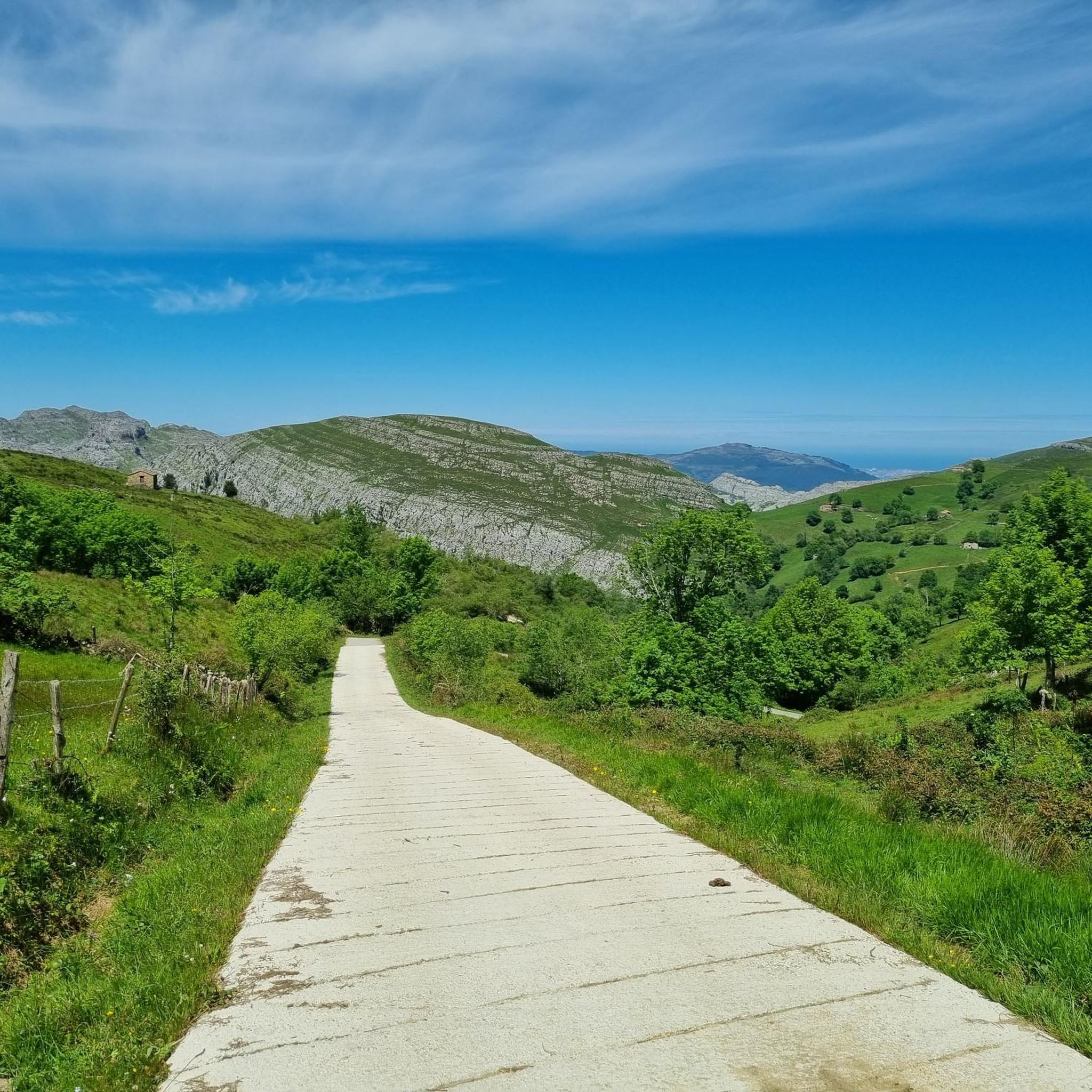
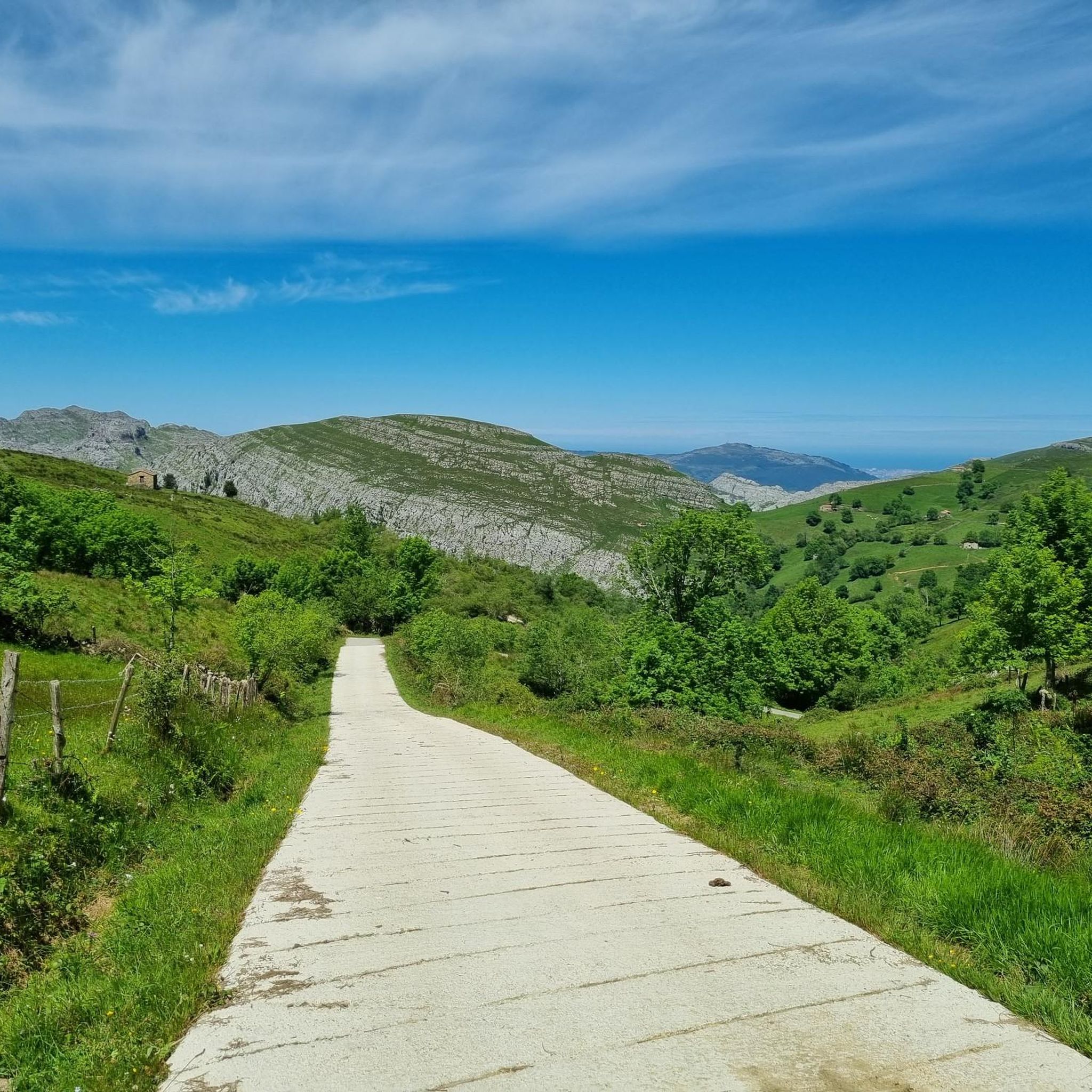
Hiking around Miera offers diverse experiences across varied terrain. The region is characterized by significant peaks, such as Pico Porracolina, and valleys featuring streams like the Calseca. These landscapes provide a range of hiking trails, from moderate paths to challenging ascents with substantial elevation changes. The Miera Valley Cantabria hikes are set amidst natural features that appeal to different fitness levels.
Best hiking trails around Miera
- The most popular hiking route is The wells of Noja - circular route,…
Last updated: October 3, 2026
4.3
(3)
14
hikers
5.44km
01:39
190m
190m
Moderate hike. Great for any fitness level. Mostly accessible paths. Sure-footedness required.
4.5
(4)
12
hikers
12.3km
04:59
990m
990m
Hard hike. Very good fitness required. Mostly accessible paths. Sure-footedness required.

4.8
(11)
62
hikers
9.76km
03:11
420m
420m
Moderate hike. Good fitness required. Easily-accessible paths. Suitable for all skill levels.
4.7
(3)
15
hikers
16.0km
06:02
1,060m
1,060m
Hard hike. Very good fitness required. Easily-accessible paths. Suitable for all skill levels.
5.0
(1)
10
hikers
10.8km
03:25
440m
440m
Moderate hike. Good fitness required. Easily-accessible paths. Suitable for all skill levels.
Get access to more routes and recommendations from other explorers.
Already have an account?
Our route recommendations are based on thousands of hikes, rides, and runs completed by other people on komoot.
Start today with a free account
Your next adventure awaits.
Tips from the Community


The viewpoint itself is a bit disappointing, I thought it would have better views. From a distance it looks like a cliff but what you see is green plain. You need binoculars and not too much fog to be able to see Somo beach on the horizon. It's worth going for the swing and the giant bench (without underestimating all the characteristic green of Cantabria❤️)
0
0

No matter where you direct your eyes, it is always a reward.
2
0
Beautiful landscape, you remind me of other more renowned lakes.
2
1
Smaller than their "superior" namesakes, but perhaps more charming than them.
2
1
Another easy hill to climb and with a great horizon.
2
0

Very nice but very badly marked, hard to find without Komoot
1
0

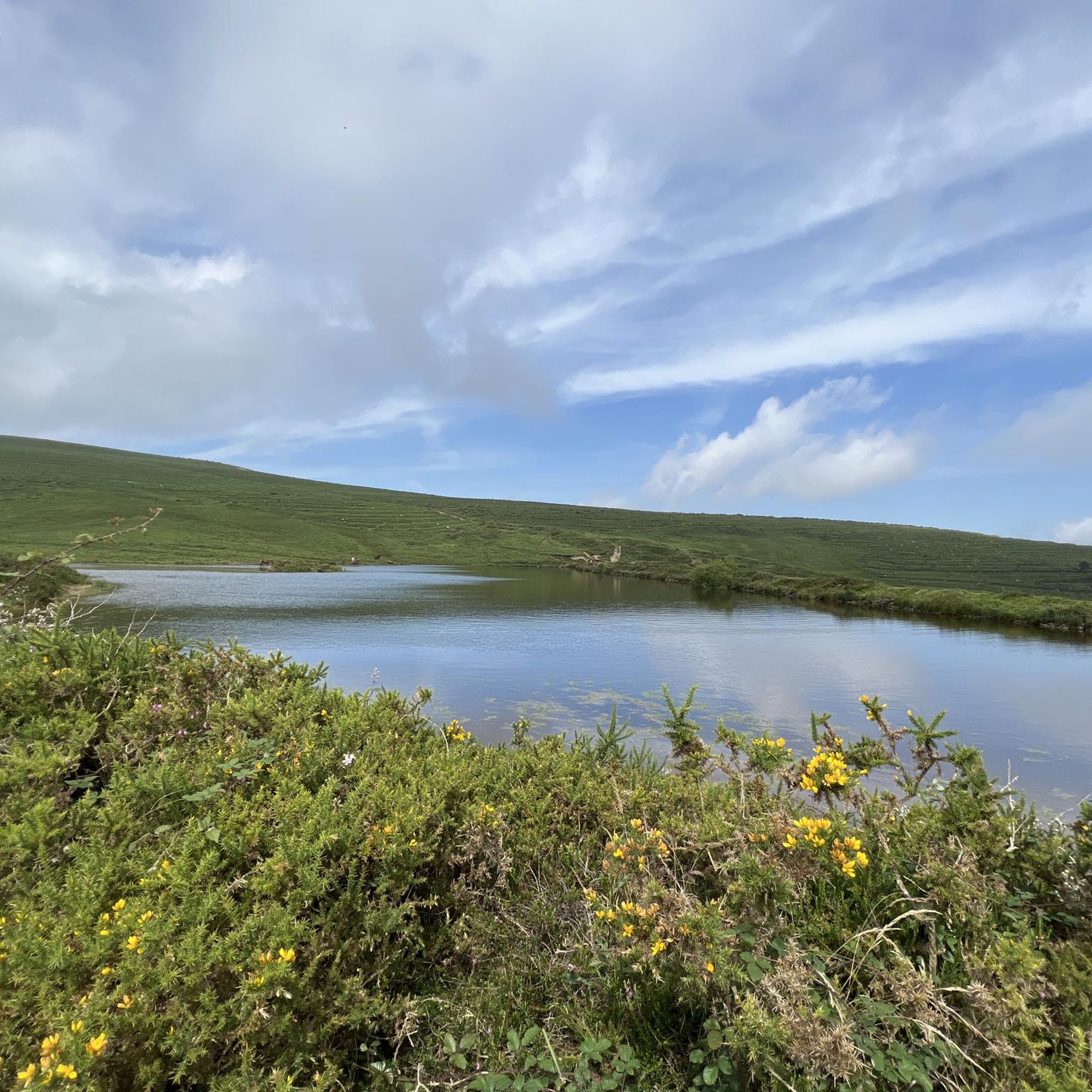
Lower well of the two so-called Pozos de Noja, which were artificial pools from the old Electra Pasiega. It contains much less water than its brother, the upper well, but it has beautiful views of the bay and on its side are some ruins of a cabin and you can cross to the other side through its old retaining wall that is still standing.
2
1
Frequently Asked Questions
How many hiking trails are available in Miera?
Miera offers a wide range of hiking opportunities, with over 100 distinct trails. These routes cater to various preferences, from easier walks to more challenging ascents.
What types of landscapes and terrain will I encounter while hiking in Miera?
Hiking in Miera features diverse terrain, including significant peaks like Pico Porracolina, valleys carved by streams such as the Calseca, and varied natural surroundings. You can expect a mix of moderate paths and strenuous routes with substantial elevation changes, offering panoramic views.
Are there any easy or family-friendly hiking options in Miera?
Yes, Miera has several easy hiking options suitable for families or those seeking a more relaxed experience. There are over 40 easy routes available, providing accessible paths for all skill levels. One popular moderate option is The wells of Noja - circular route, which explores local natural features.
Can I find circular hiking routes in Miera?
Miera offers several circular hiking routes for those who prefer to start and end in the same location. A notable example is The wells of Noja - circular route, which is a moderate 3.4-mile path. For a more challenging option, consider the View of Porracolina – Pico Porracolina loop from La Pedrosa.
What are some of the natural attractions or landmarks I can see on a hike in Miera?
Miera's hiking trails often lead to interesting natural features. You can explore natural monuments like Peñas Blancas Summit or Alto de la Posadía for viewpoints. The region also features unique geological formations such as Canal Honda and various caves, including La Covachona Cave.
Are there any challenging hikes for experienced trekkers in Miera?
Yes, Miera provides challenging options for experienced hikers. Routes like Pico Porracolina via Calseca Stream Trail offer significant elevation gain and lead to panoramic views from Pico Porracolina. There are 18 difficult routes in the area, requiring good fitness and sturdy shoes.
What do other hikers say about the trails in Miera?
The hiking routes in Miera are highly regarded by the komoot community, holding an average rating of 4.3 stars from over 180 reviews. Hikers often praise the diverse terrain, rewarding views, and the variety of options available for different fitness levels.
Is Miera a good destination for hiking with dogs?
While specific regulations for dog-friendly trails can vary, Miera's natural environment generally welcomes responsible dog owners. Many trails are suitable for walking with dogs, but it's always advisable to keep them on a leash, especially in areas with livestock or wildlife, and to check local signage for any specific restrictions.
What is the best time of year to go hiking in Miera?
The best time to hike in Miera generally depends on your preferred conditions. Spring and autumn offer pleasant temperatures and vibrant landscapes, ideal for most hikers. Summer can be warm but is suitable for higher altitude trails, while winter may present colder conditions and potential snow on higher peaks, requiring appropriate gear.
Are there any trails that offer impressive viewpoints in Miera?
Absolutely. Many trails in Miera lead to stunning viewpoints, particularly those ascending to higher elevations. The hike to Pico Porracolina, for instance, offers extensive panoramic views of the surrounding region. You can also find specific viewpoints like Alto de la Posadía along various routes.
Are there any trails that follow rivers or streams in Miera?
Yes, Miera's landscape includes valleys with streams, offering picturesque routes. The Pico Porracolina via Calseca Stream Trail is one such route that incorporates the Calseca stream, providing a refreshing element to the hike.
Most popular attractions around Miera

Get inspired with the komoot mobile app


Explore more
Browse the best Hikes in other regions.
