The best road cycling routes around Bridgend
4.3
(162)
8,997
riders
135
rides
Road cycling routes around Bridgend traverse a varied landscape, from coastal paths to rolling hills and river valleys. The region features dedicated cycling routes that wind through tranquil woodlands and nature reserves, offering diverse terrain for road cyclists. Riders can explore the Ogmore, Garw, and Llynfi Valleys, which provide ascents and expansive views. Coastal sections, such as those near Porthcawl, offer routes with ocean vistas.
Best road cycling routes around Bridgend
- The most popular road cycling route is Bwlch Climb…
Last updated: August 3, 2026
5.0
(2)
207
riders
70.9km
03:21
900m
900m
Embark on the Bwlch Climb from Porthcawl loop, a moderate road cycling route that takes you through the changing landscapes of Afan Forest Park. You will cover 44.1 miles (70.9…
5.0
(6)
164
riders
41.0km
01:48
350m
350m
Embark on the Southerndown loop from Bridgend, a moderate road cycling route that takes you along the picturesque Glamorgan Heritage Coast. You will cover 25.5 miles (41.0 km) with 1162…

Sign up for free
5.0
(4)
95
riders
43.9km
02:15
750m
740m
This 27.3-mile (43.9 km) racebike loop from Sarn offers a moderate road ride with 2446 feet (746 metres) of elevation gain, typically taking around 2 hours and 15 minutes to…
4.6
(9)
734
riders
102km
04:59
1,280m
1,280m
Hard road ride. Very good fitness required. Some segments of this route may be unpaved and difficult to ride.
4.8
(4)
215
riders
60.9km
02:40
360m
360m
Moderate road ride. Good fitness required. Mostly well-paved surfaces and easy to ride.
4.7
(3)
184
riders
89.6km
04:16
1,060m
1,060m
Hard road ride. Very good fitness required. Some segments of this route may be unpaved and difficult to ride.
4.5
(2)
155
riders
60.8km
02:41
520m
520m
Moderate road ride. Good fitness required. Mostly well-paved surfaces and easy to ride.
3.5
(2)
107
riders
39.5km
01:47
310m
310m
Moderate road ride. Good fitness required. Some segments of this route may be unpaved and difficult to ride.
81
riders
94.8km
05:10
1,880m
1,880m
Hard road ride. Very good fitness required. Mostly well-paved surfaces and easy to ride.
5.0
(1)
78
riders
114km
04:54
760m
760m
Moderate road ride. Good fitness required. Mostly well-paved surfaces and easy to ride.
Get access to more routes and recommendations from other explorers.
Sign up for free
Already have an account?
Our route recommendations are based on thousands of hikes, rides, and runs completed by other people on komoot.
Start today with a free account
Your next adventure awaits.
Login or Signup
Popular around Bridgend
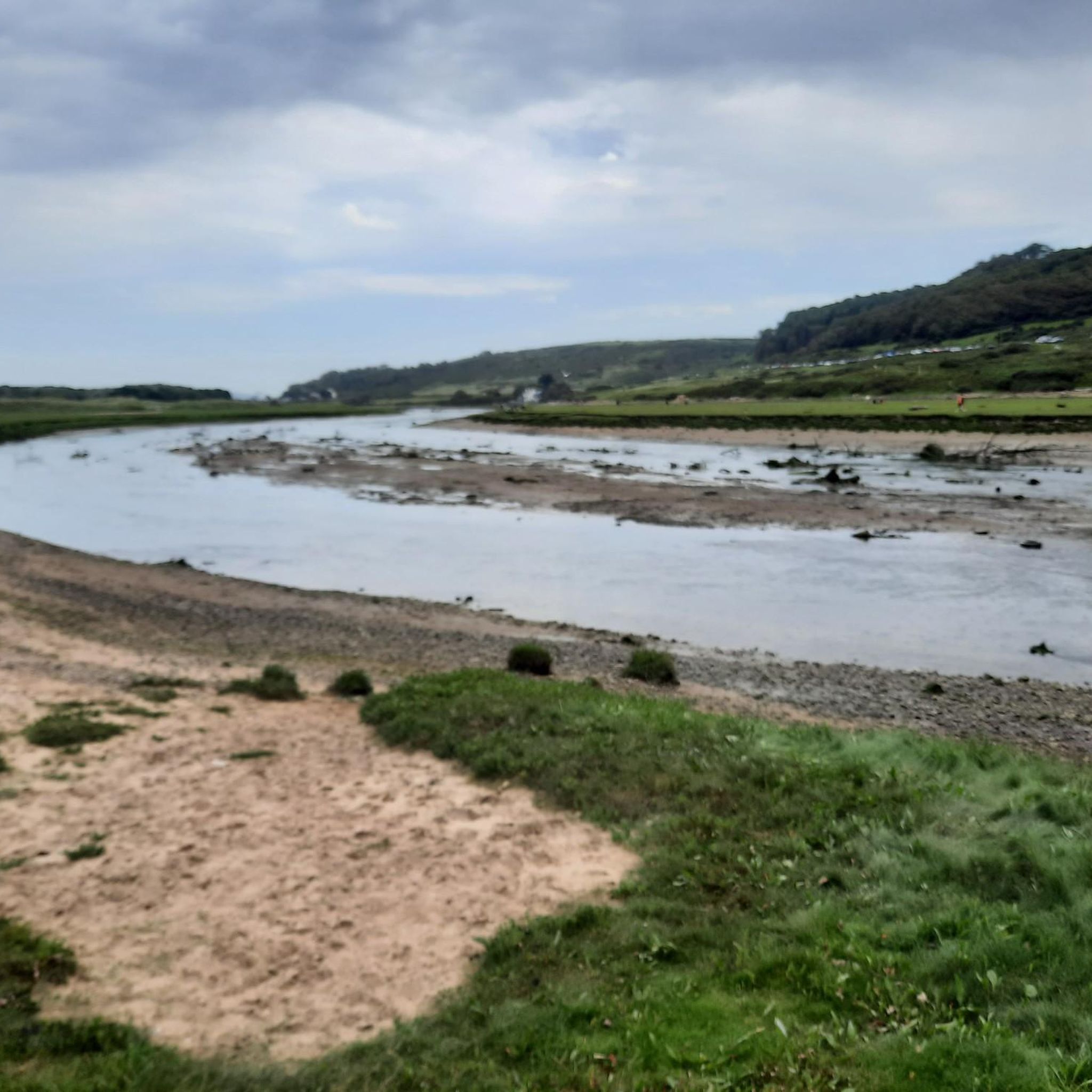
Road Cycling Routes around Merthyr Mawr Warren National Nature Reserve
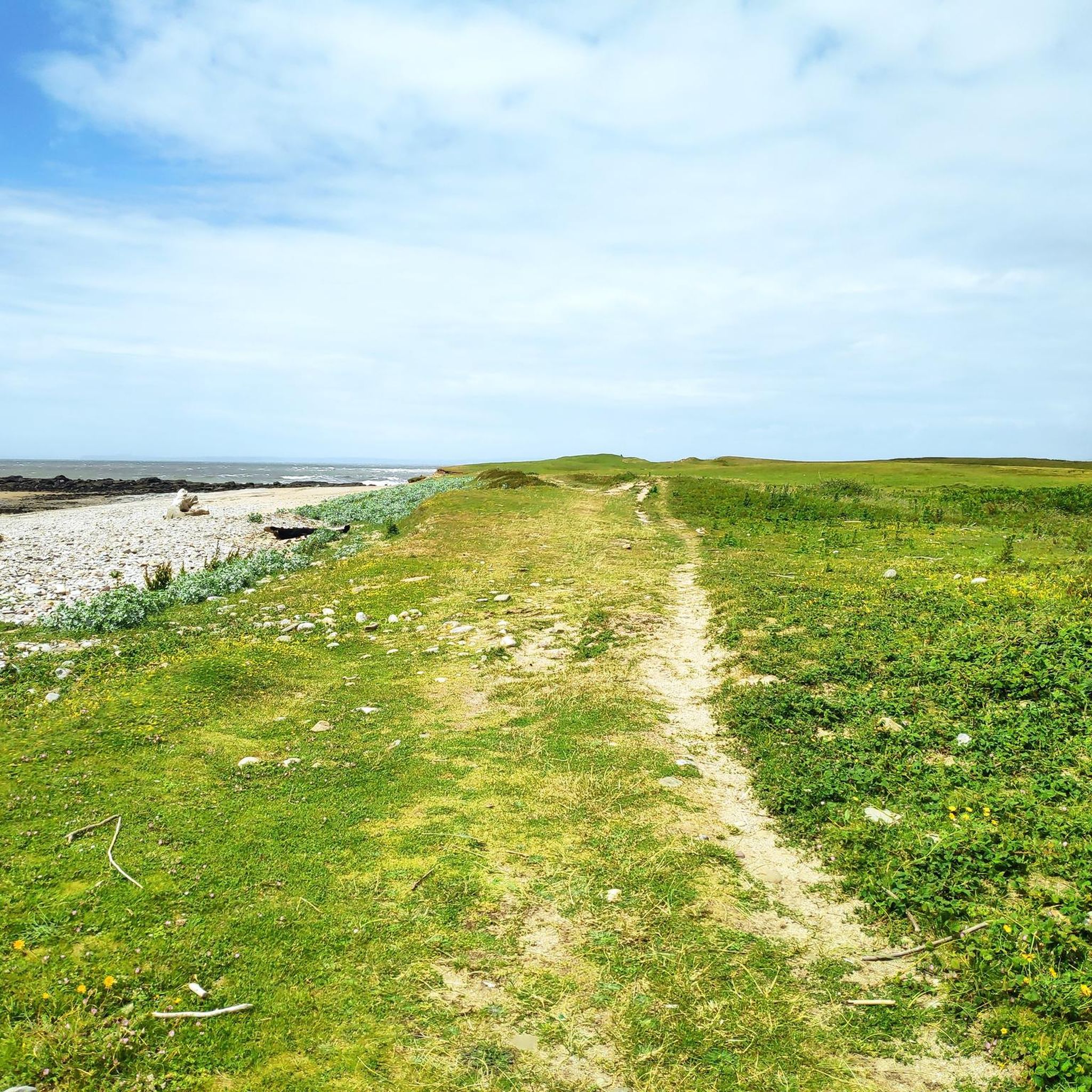
Road Cycling Routes around Kenfig Pool
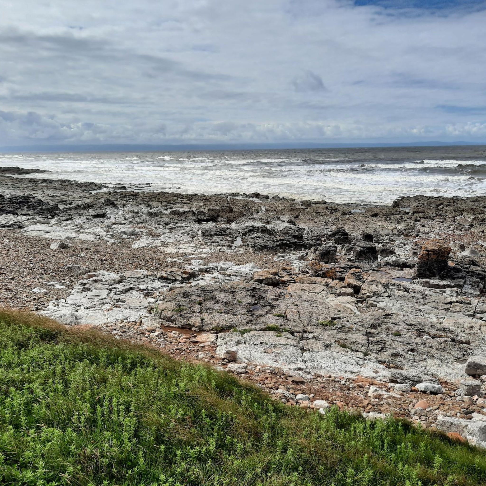
Road Cycling Routes around Kenfig Pool And Dunes National Nature Reserve

Celtic Way — An epic pilgrimage through prehistory and wild beauty
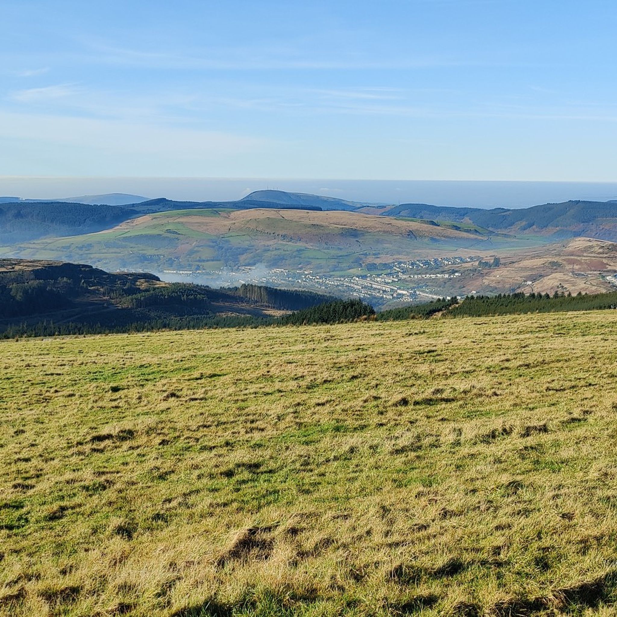
Cycling around Bridgend
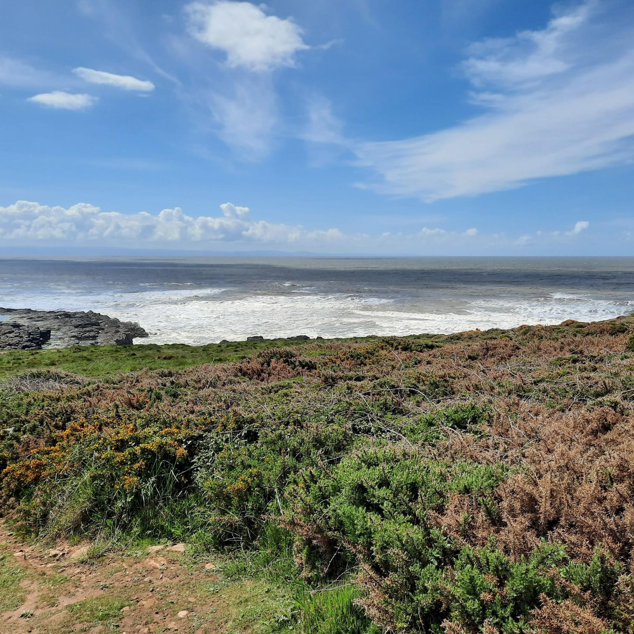
Hiking around Bridgend
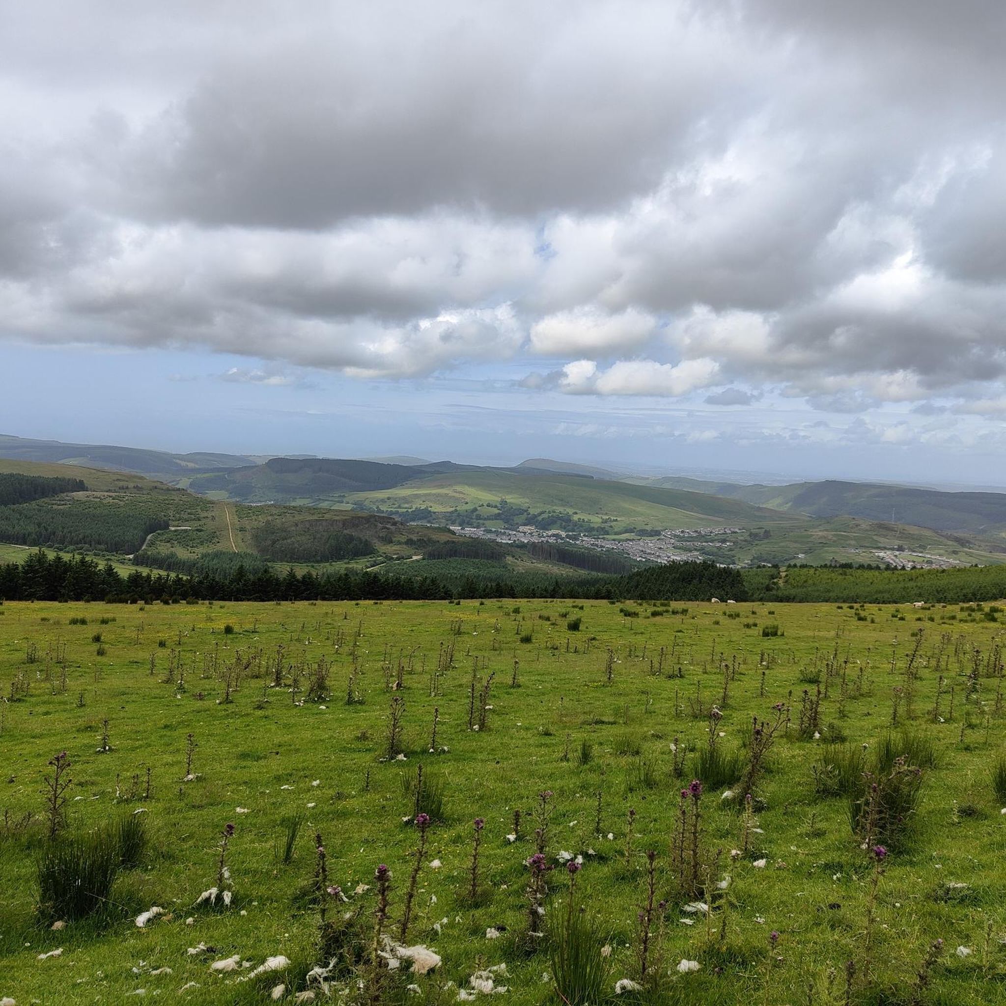
Running Trails around Bridgend
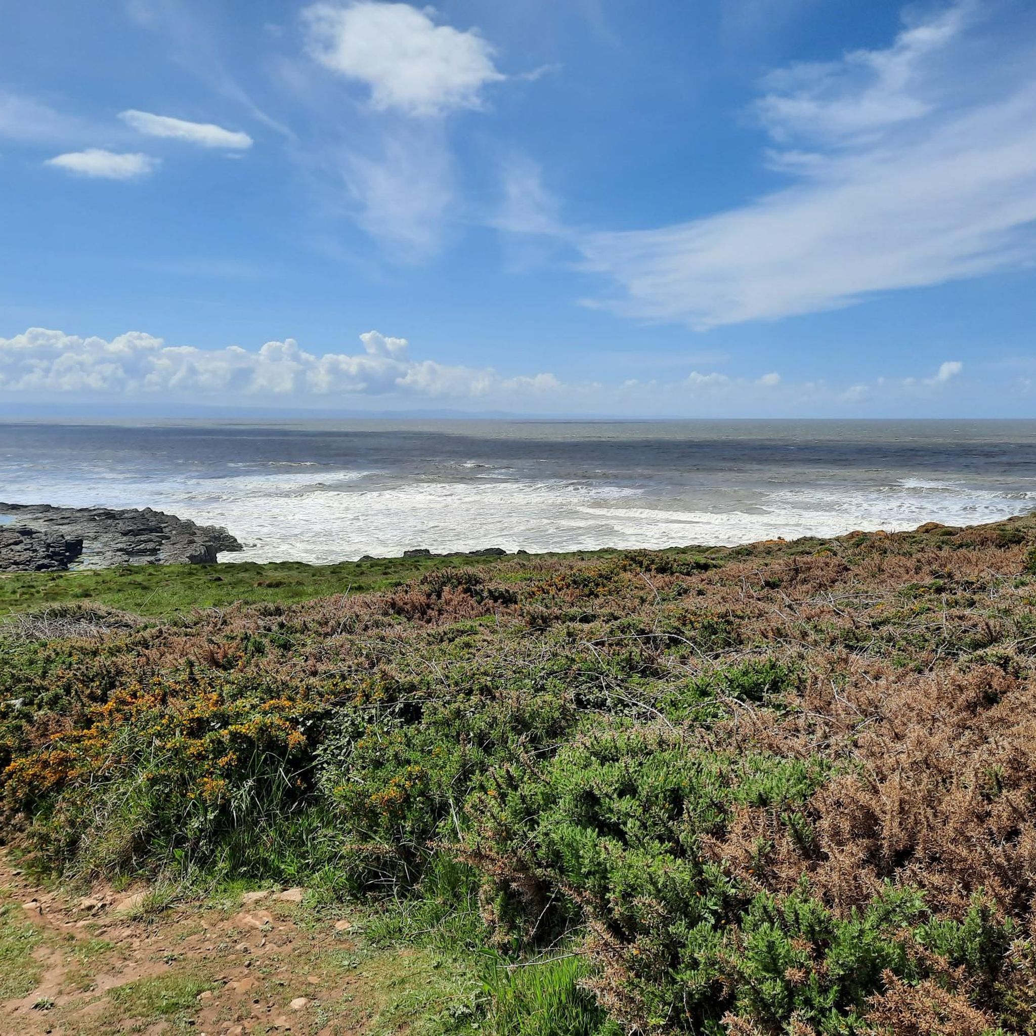
MTB Trails around Bridgend
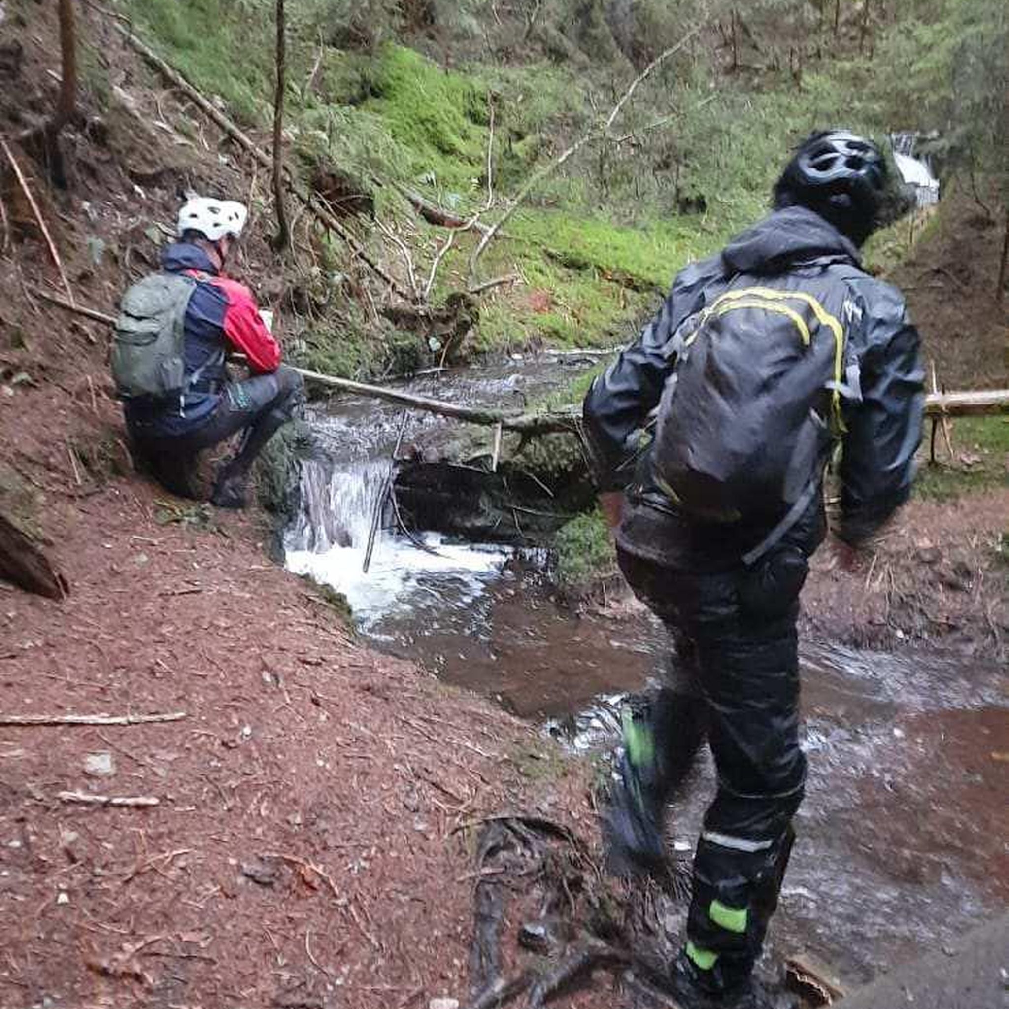
Gravel biking around Bridgend
Other adventures around Bridgend

Tips from the Community

Peaceful route. Opportunities to stop at Afan Argoed country park and the old Station at Cymmer.
0
0


Climbing the Rhigos northwards from Treherbert is a classic, sustained South Wales Valleys ascent featuring scenic hairpin bends and panoramic views. Settle into an endurance rhythm for the long climb averaging around 5%, but be prepared for steeper ramps hitting 10-15%, particularly on the iconic hairpin section midway up. Experience the dramatic scenery as you rise above the Rhondda valley onto the open moorland. The road surface is generally good following major repairs completed in late 2024, allowing you to focus on conquering this rewarding climb.
0
0
Climbing the Bwlch Mountain southwards from Treorchy (A4061) is a classic South Wales Valleys experience, offering a long, steady ascent. The road winds up from the Rhondda valley onto open moorland where the main challenge often becomes the significant exposure to wind. Enjoy the sweeping panoramic views from the top of this popular and rewarding climb.
0
0

Park at Rhyslyn and use the cycleway to Afan trails as a useful warm up before hitting the climb or Penhydd or Y Wal
0
0

Margam Castle, Margam, Port Talbot, Wales, is a late Georgian country house built for Christopher Rice Mansel Talbot. Designed by Thomas Hopper, the castle was constructed in a Tudor Revival style over a five-year period, from 1830 to 1835. The site had been occupied for some 4,000 years
0
0

You can enjoy lovely views of the town and Afon Valley from this high up viewpoint on Pontrhydyfen Viaduct. The viaduct itself was build in 1898 by the Port Talbot Railway.
1
0
Frequently Asked Questions
How many road cycling routes are available around Bridgend?
Bridgend offers a wide selection of road cycling routes, with over 140 options available. These routes traverse diverse landscapes, from coastal paths to rolling hills and river valleys, catering to various preferences.
What kind of terrain and difficulty can I expect from road cycling routes in Bridgend?
Road cycling routes in Bridgend feature a varied terrain, including coastal paths, rolling hills, and river valleys. You'll find options for all skill levels: 46 easy routes, 80 moderate routes, and 19 more challenging routes, ensuring there's something for every cyclist.
Are there scenic viewpoints or historical landmarks along road cycling routes in Bridgend?
Yes, many routes offer scenic views and pass by historical landmarks. For instance, you can enjoy coastal vistas along routes near Porthcawl, or explore areas with historic castles. Notable points of interest include the Ogmore Castle Ruins and the Porthcawl Promenade and Harbour. The Bwlch Climb from Porthcawl loop offers expansive views from higher elevations.
Are there any family-friendly road cycling routes in Bridgend?
While many road cycling routes are designed for experienced riders, Bridgend also offers traffic-free paths suitable for families. Bryngarw Country Park, for example, serves as a gateway to the Garw Valley Community Route, which follows old railway tracks through forests and countryside, providing a gentler experience. The Porthcawl coastal trail is also mostly off-road and suitable for exploring with family.
What is the best time of year for road cycling in Bridgend?
Bridgend is enjoyable for road cycling throughout much of the year, but spring and summer generally offer the most pleasant conditions with milder weather and longer daylight hours. Autumn can also be beautiful with changing foliage, particularly in the valley routes. Always check local weather forecasts before heading out.
Are there circular road cycling routes available in Bridgend?
Yes, many road cycling routes in Bridgend are designed as loops, allowing you to start and finish at the same point. Examples include the Bwlch Climb from Porthcawl loop, the Southerndown loop from Bridgend, and the Bwlch climb & loop from Sarn.
Where can I find parking for road cycling routes in Bridgend?
Parking is available at various starting points for road cycling routes. For example, Bryngarw Country Park is a good starting point for the Garw Valley Community Route and offers parking facilities. Parc Slip Nature Reserve also has parking and provides access to National Cycle Route 4. Many routes starting from towns like Bridgend or Porthcawl will have public parking options nearby.
Can I access road cycling routes in Bridgend using public transport?
Yes, some road cycling routes in Bridgend are accessible via public transport. Bridgend town itself is a transport hub, and bus services connect to various valleys and coastal areas. For instance, bus routes can take you closer to the Garw Valley and Ogmore Valley trails, allowing for easier access without a car.
Are there cafes or pubs along road cycling routes in Bridgend?
Many road cycling routes in Bridgend pass through or near towns and villages where you can find cafes and pubs. Coastal towns like Porthcawl offer numerous eateries. Routes such as the Café Velo – Ogmore-by-Sea Beach loop from Bridgend and the Coffi Co Lounge – Aberavon Beach Promenade loop from Bridgend are specifically named for popular refreshment stops along the way.
What do other road cyclists enjoy most about road cycling in Bridgend?
The road cycling experience in Bridgend is highly rated by the komoot community, with an average score of 4.4 stars from over 70 reviews. Cyclists often praise the region's diverse landscapes, from challenging climbs like the Bwlch to scenic coastal stretches and tranquil valley rides. The variety of routes catering to different abilities is also a frequently highlighted positive aspect.
Are there options for bike hire in Bridgend?
Yes, bike hire options are available, particularly in popular coastal areas. For example, the Rest Bay Watersports Centre in Porthcawl offers bike hire, including e-bikes and California Cruisers, making it convenient for visitors who don't bring their own equipment.
Which road cycling routes offer views of the coastline?
Several routes provide stunning coastal views. The Porthcawl coastal cycling trail offers beach-side biking with ocean vistas. The Southerndown loop from Bridgend also offers views of the Southerndown coastline. Routes around Ogmore-by-Sea, such as the Ogmore Beach – Ogmore-by-Sea Beach loop from Bridgend, also feature beautiful seaside scenery.
Are there any long-distance road cycling routes in Bridgend?
For those seeking longer rides, Bridgend offers routes that extend further, such as the Rhigos Climb Viewpoint – Pontrhydyfen Viaduct loop from Pyle, which covers over 100 km and includes significant elevation gain. The region's network also connects to national cycle routes, allowing for extended journeys.
Most popular routes around Bridgend
Most popular attractions around Bridgend

Get inspired with the komoot mobile app


Didn’t find what you were looking for?
Check out more Road cycling routes throughout Bridgend below and find the perfect route in your destination.
Explore more
Browse the best Road cycling routes in other regions.
