The best walks and hikes around Escalonilla
4.6
(97)
740
hikers
44
hikes
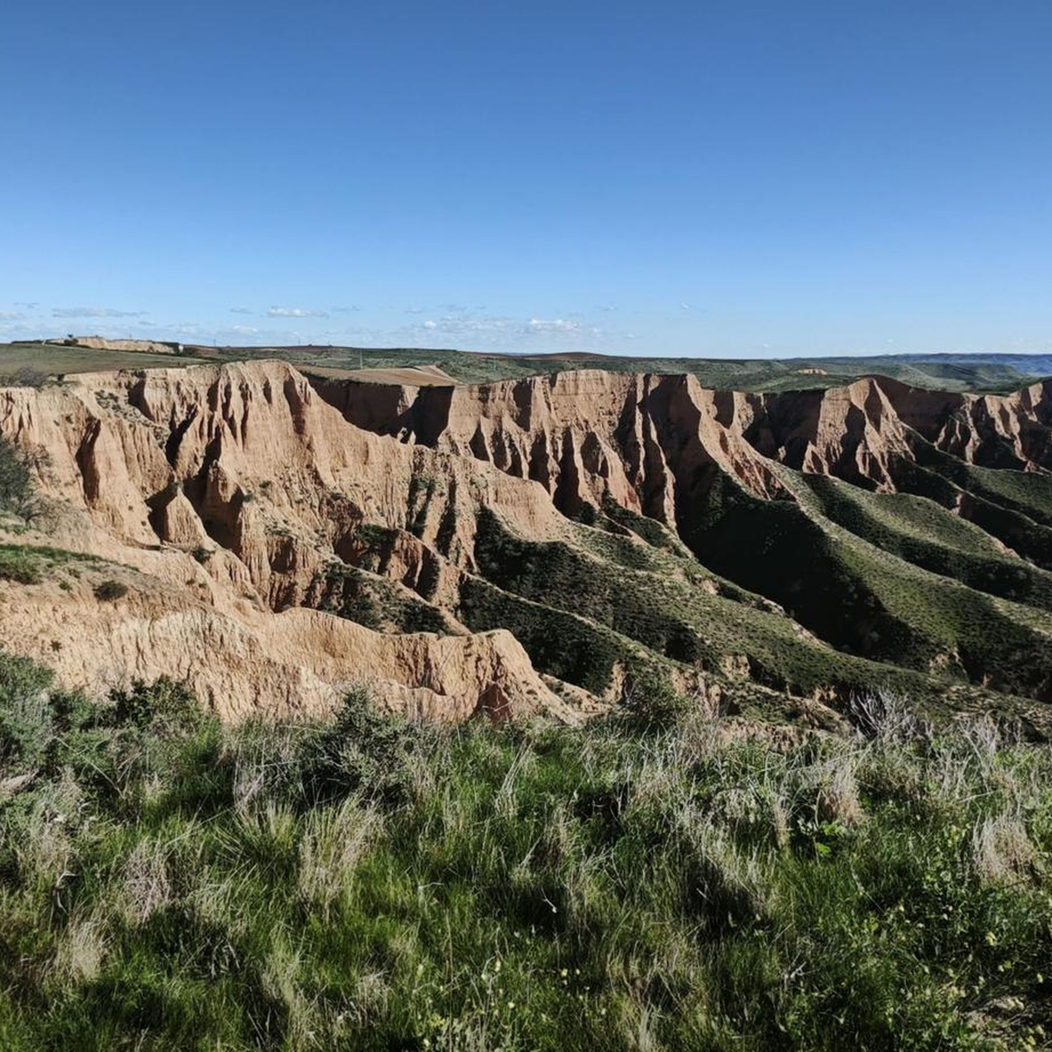
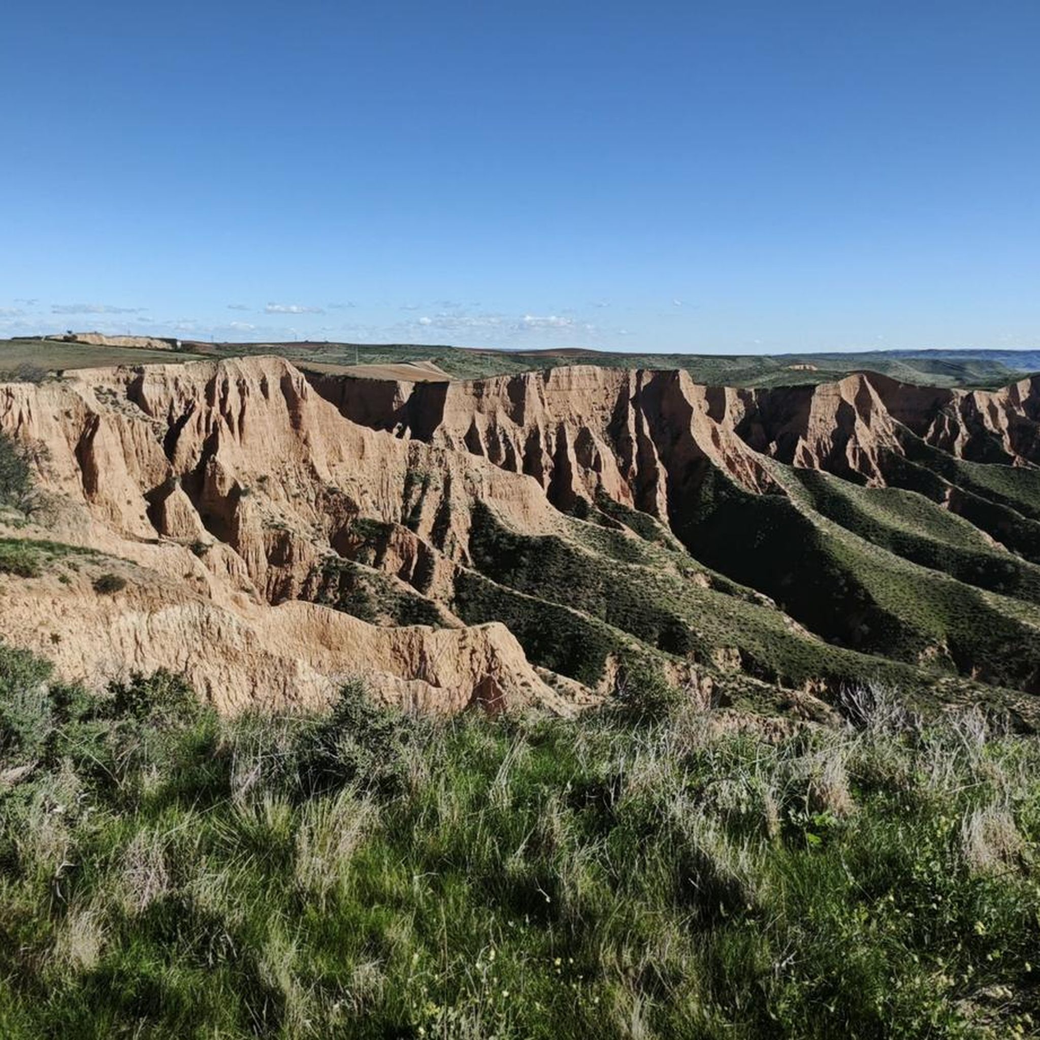
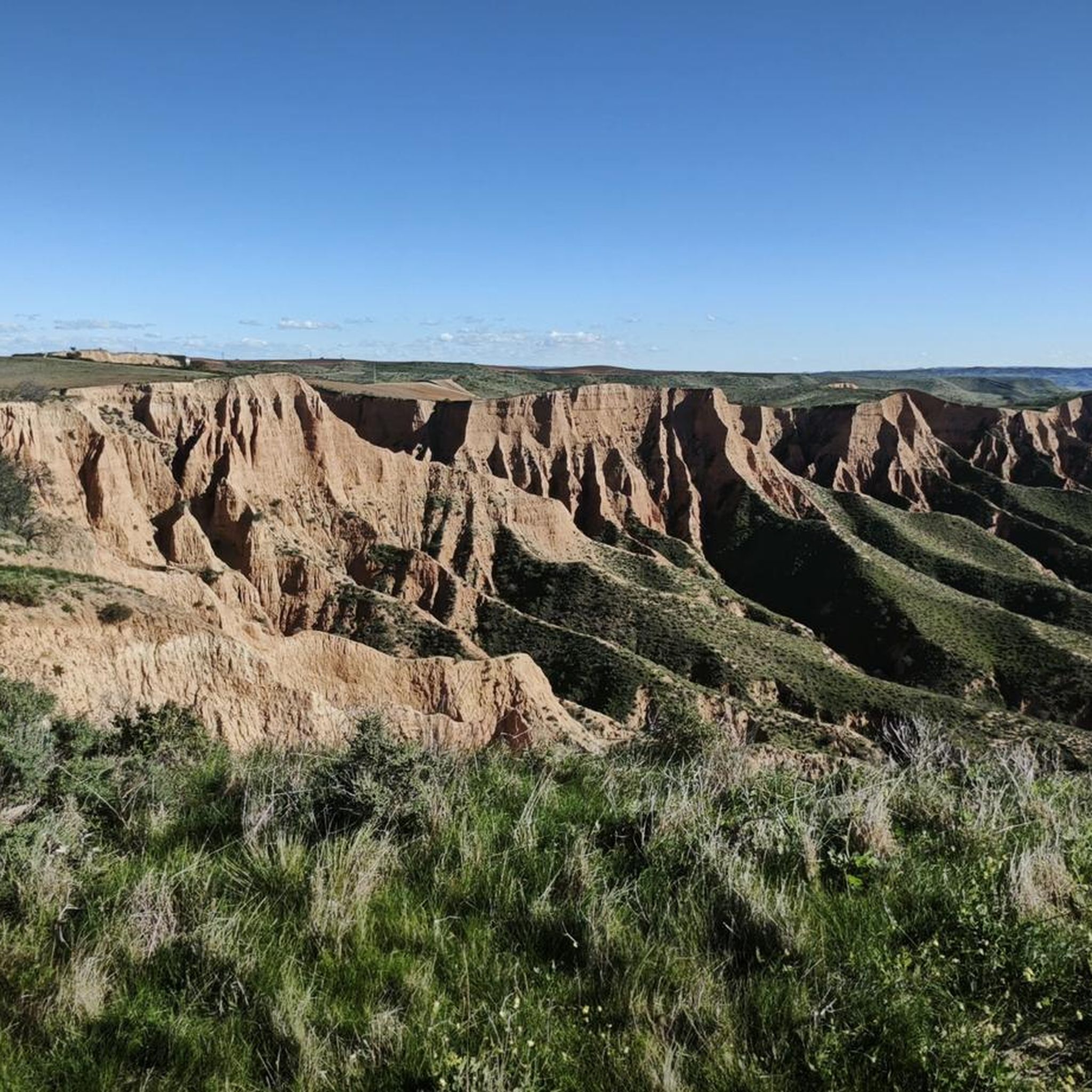
Hiking trails near Escalonilla Spain offer opportunities to explore the varied terrain of the Toledo province. The region features agricultural plains, Mediterranean scrubland, and riverine landscapes, particularly along the Tagus River. While Escalonilla itself is surrounded by open countryside, nearby areas like the Barrancas de Burujón provide distinct geological formations and cliffs. The elevation changes are generally moderate, making many routes accessible for different fitness levels.
Best hiking trails around Escalonilla
- The most popular hiking route is Barrancas de Burujón…
Last updated: July 25, 2026
4.7
(16)
138
hikers
5.50km
01:35
130m
130m
Easy hike. Great for any fitness level. Easily-accessible paths. Suitable for all skill levels.
4.7
(14)
54
hikers
7.44km
02:02
110m
110m
Hike a moderate 4.6-mile circular route through the dramatic red clay cliffs of Barrancas de Burujón, offering stunning views near Toledo.

Sign up for free
5.0
(1)
1
hikers
Hard hike. Very good fitness required. Easily-accessible paths. Suitable for all skill levels.
4.7
(18)
149
hikers
9.66km
02:46
210m
210m
Moderate hike. Good fitness required. Easily-accessible paths. Suitable for all skill levels.
4.3
(7)
108
hikers
4.24km
01:13
100m
100m
Easy hike. Great for any fitness level. Easily-accessible paths. Suitable for all skill levels.
Get access to more routes and recommendations from other explorers.
Sign up for free
Already have an account?
Our route recommendations are based on thousands of hikes, rides, and runs completed by other people on komoot.
Start today with a free account
Your next adventure awaits.
Login or Signup
Tips from the Community


Beautiful views, a highly recommended place to visit and enjoy.
1
1


If you want to see the Barrancas de Burujón from another perspective, you can go down to another viewpoint that is closer to the water.
2
0

The Enebros viewpoint is another of the various observation points of the natural space of the Barrancas de Burujón.
1
1
Albarreal de Tajo is a municipality in the province of Toledo. It is very close to the Tagus River and the Tagus Nature Trail passes through its urban area.
2
0

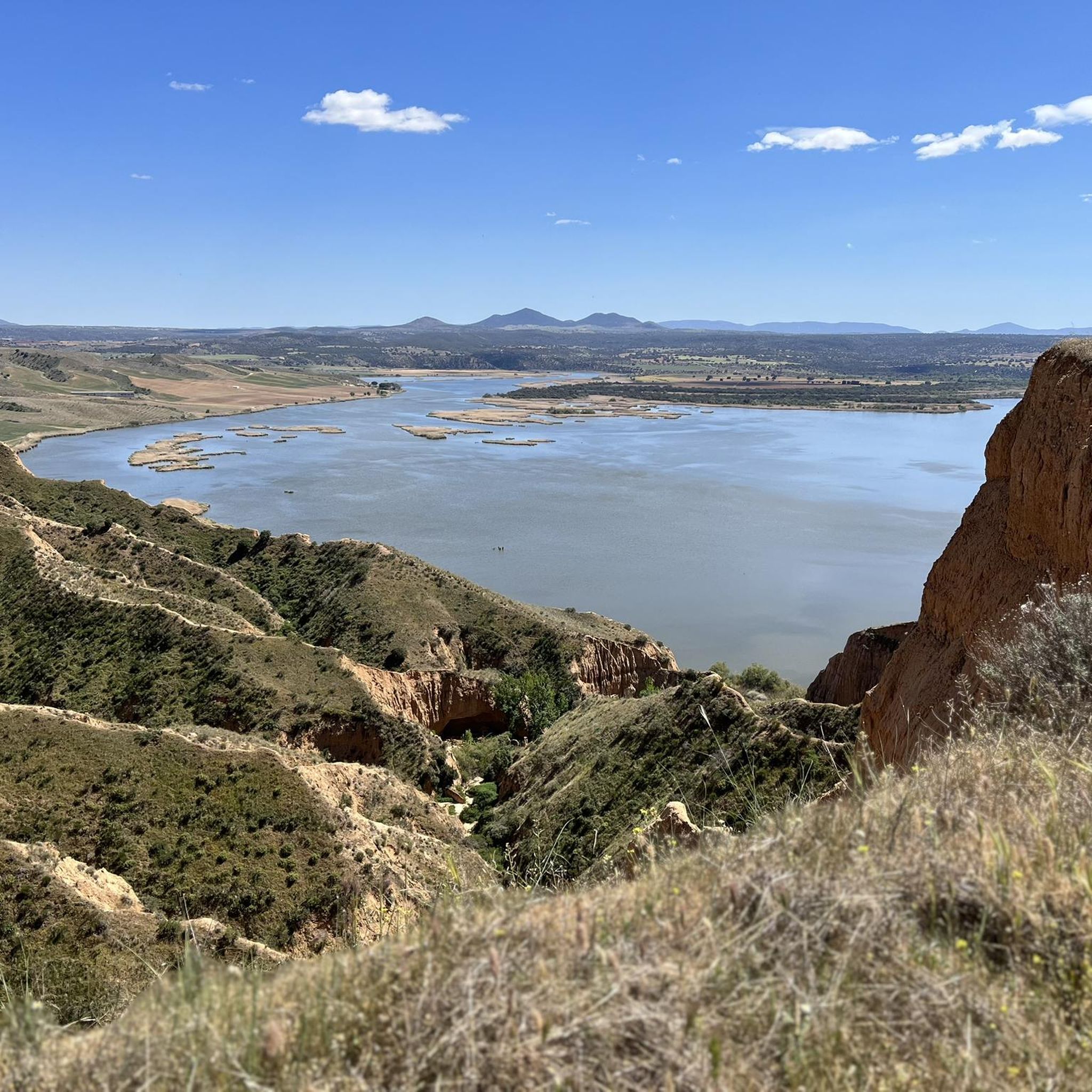
spectacular view of the Castrejón reservoir
1
0
Frequently Asked Questions
How many hiking trails are available around Escalonilla?
There are over 35 hiking routes around Escalonilla, offering a variety of options for exploring the Toledo province. These trails are highly rated by the komoot community, with an average score of 4.6 stars from more than 70 reviews.
What kind of landscapes can I expect to see while hiking near Escalonilla?
The region around Escalonilla features diverse landscapes, including agricultural plains, Mediterranean scrubland, and riverine areas, particularly along the Tagus River. A notable highlight is the Barrancas de Burujón, which offers distinctive red clay canyons and geological formations.
Are there any circular hiking routes available?
Yes, several circular routes are available. A popular option is the Barrancas de Burujón — circular, which is 3.4 miles (5.5 km) long. For a longer challenge, consider the Albarreal de Tajo from Burujón by the Camino Natural de Tajo (GR 113) — circular by the Monumento Natural Barrancas de Castrejón y Calaña.
What are the difficulty levels of hikes around Escalonilla?
The trails around Escalonilla cater to various fitness levels. You'll find 11 easy routes, 21 moderate routes, and 3 more challenging options for experienced hikers. This variety ensures there's something for everyone, from leisurely strolls to more demanding treks.
Are the hiking trails around Escalonilla suitable for families with children?
Yes, many trails are suitable for families. The region's generally moderate elevation changes make routes accessible. For an easy and scenic option, the Barrancas de Burujón — circular is a good choice, offering unique views without excessive difficulty.
Can I bring my dog on the trails near Escalonilla?
While specific regulations for each trail can vary, generally, many outdoor areas in the Toledo province are dog-friendly, especially on leash. It's always advisable to check local signage or specific route details on komoot for any restrictions before heading out with your pet.
Where can I find scenic viewpoints or natural landmarks?
The Barrancas de Burujón area is rich in scenic viewpoints. You can visit the Enebros Viewpoint or the View of the Barrancas de Burujón and the Castrejón Reservoir from Mirador del Cambrón for stunning vistas of the red clay canyons and the reservoir.
Is there parking available at the trailheads?
Yes, for popular areas like the Barrancas de Burujón, there is a dedicated Parking area at Las Barrancas de Burujón. For other routes, parking availability may vary, so it's recommended to check the specific tour details on komoot.
What is the best time of year to hike in the Escalonilla region?
The Toledo province, where Escalonilla is located, generally experiences hot summers. Spring (April-May) and Autumn (September-October) offer milder temperatures, making them ideal for hiking. Winter can also be pleasant, though mornings can be chilly.
Are there any historical sites or attractions near the hiking trails?
Yes, the wider Toledo region is known for its historical significance. While hiking, you might encounter historical elements. For example, the Barcience Castle is a notable nearby attraction that can be explored in conjunction with your hikes.
What do other hikers say about the trails around Escalonilla?
The trails around Escalonilla are highly regarded by the komoot community, with an average rating of 4.6 out of 5 stars from over 70 reviews. Hikers often praise the unique geological formations of the Barrancas de Burujón and the varied terrain that offers something for all skill levels.
How can I get to the hiking trails using public transport from Escalonilla?
Public transport options from Escalonilla to specific trailheads can be limited. While local bus services connect Escalonilla to larger towns like Toledo, direct routes to rural trail starting points are less common. It is often more convenient to travel by car to access many of the hiking areas, especially those further afield like the Barrancas de Burujón.
Most popular attractions around Escalonilla

Get inspired with the komoot mobile app


Explore more
Browse the best Hikes in other regions.
