The best MTB trails around Breunigweiler
4.6
(1475)
3,908
riders
293
rides
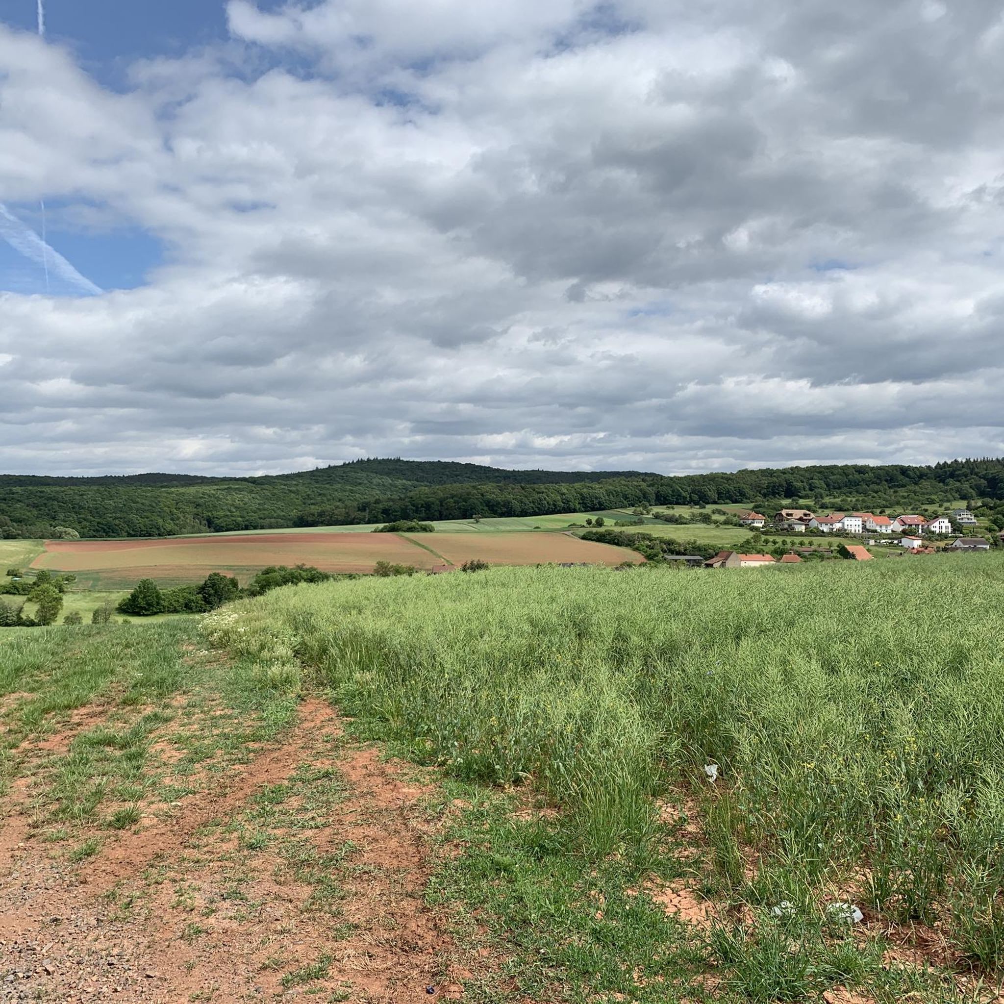
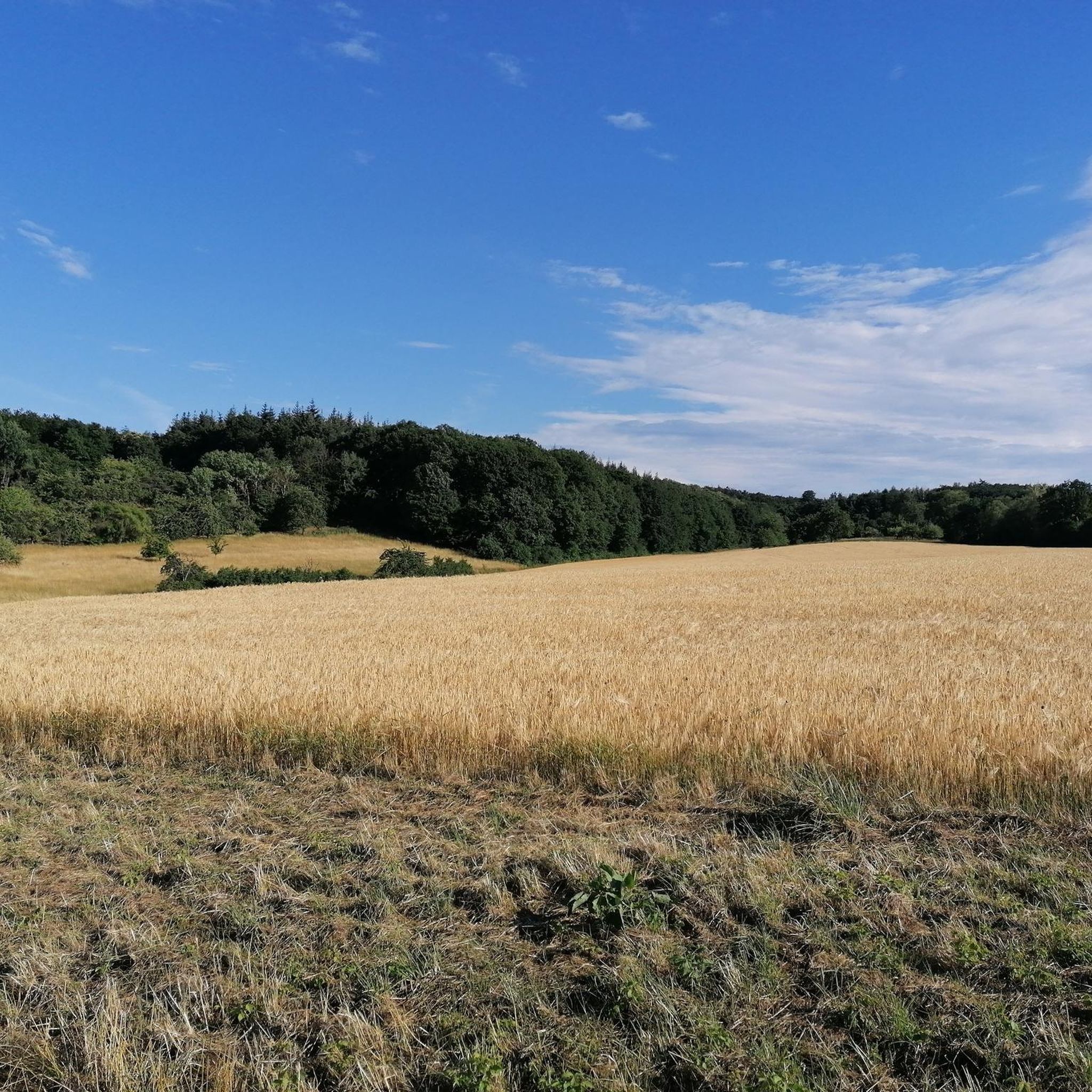
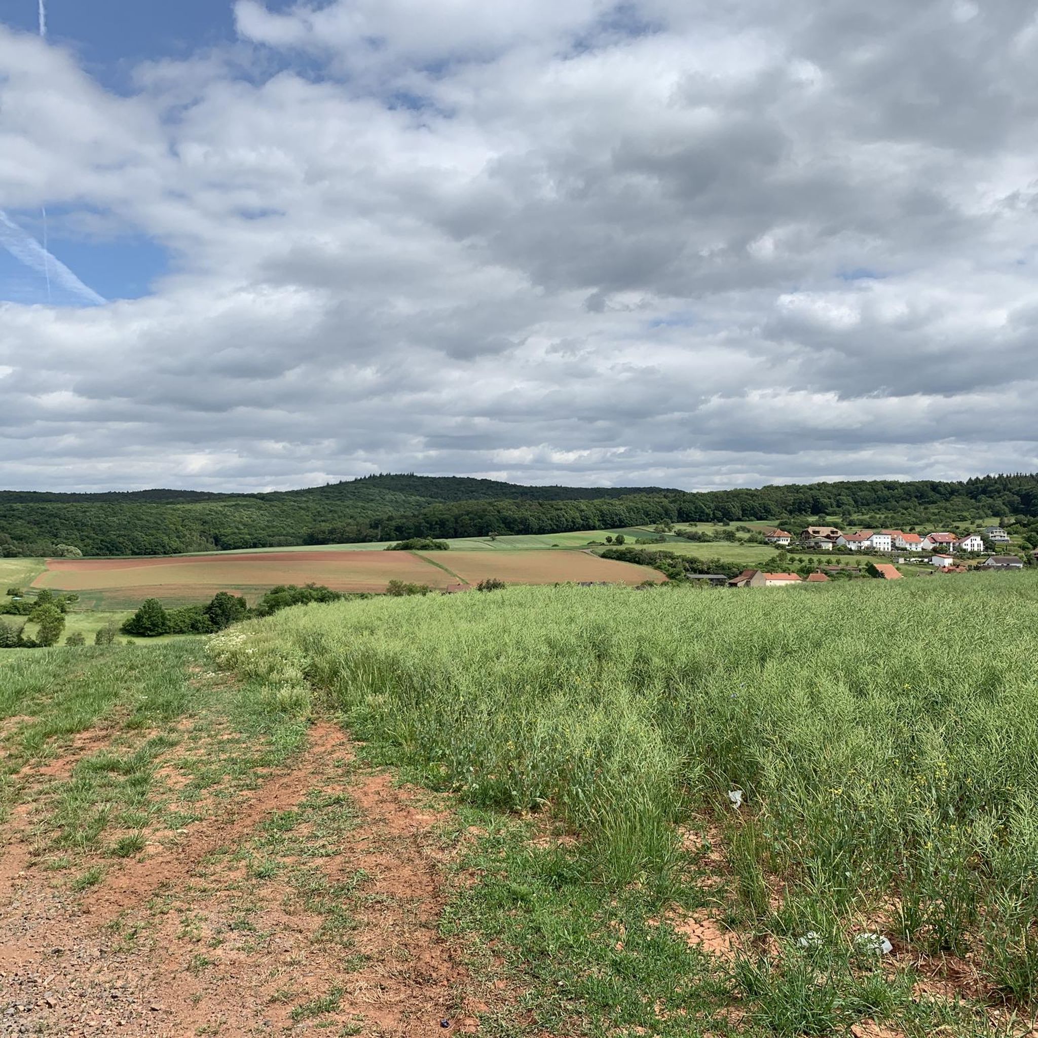
Mountain biking around Breunigweiler offers diverse terrain within the Donnersberg district of Rhineland-Palatinate, Germany. The region is characterized by its proximity to the Donnersberg, the highest mountain in the Palatinate, providing challenging ascents and descents. Dense woodlands, picturesque valleys, and unique red sandstone formations of the Palatinate Forest Nature Park define the landscape. This varied topography creates a dynamic environment for mountain bikers, with technically demanding paths and flowy singletracks.
Best mountain bike trails around Breunigweiler
- The most popular mountain…
Last updated: October 26, 2026
4.5
(6)
46
riders
25.3km
02:16
470m
480m
Moderate mountain bike ride. Good fitness required. Advanced riding skills necessary.
4.2
(5)
14
riders
13.0km
01:03
140m
140m
Easy mountain bike ride.

4.6
(5)
8
riders
Moderate mountain bike ride. Good fitness required. Advanced riding skills necessary.
4.7
(6)
22
riders
Easy mountain bike ride.
4.7
(3)
8
riders
Moderate mountain bike ride. Good fitness required. Advanced riding skills necessary.
Get access to more routes and recommendations from other explorers.
Already have an account?
Our route recommendations are based on thousands of hikes, rides, and runs completed by other people on komoot.
Start today with a free account
Your next adventure awaits.

Tips from the Community


The Pfrimmweiher is located in the Donnersberg district in Rhineland-Palatinate, not far from the Pfrimm spring in the Sippersfelder Weiher nature reserve. Southeast of the municipality of Sippersfeld, near the hamlet of Pfrimmerhof in the Palatinate Forest Nature Park. The Pfrimmweiher (a small reservoir or pond) is located just a few hundred meters below the captured Pfrimm spring.
2
0
The Retzberghütte is located directly on the idyllic Retzbergweiher in Sippersfeld on the edge of the Palatinate Forest and is a popular destination for hikers and day-trippers. The pond and the hut are located near 67729 Sippersfeld (Donnersbergkreis / northern Palatinate Forest). The managed hut offers classic Palatinate cuisine (like Saumagen and Leberknödel), homemade cakes, special dishes on Thursdays, and fresh fish variations on Fridays. See: https://www.retzberghuette.de/
1
0
The Retzberghütte is located directly on the idyllic Retzbergweiher in Sippersfeld on the edge of the Palatinate Forest and is a popular destination for hikers and day-trippers. The pond and the hut are located near 67729 Sippersfeld (Donnersbergkreis / northern Palatinate Forest). The serviced hut offers classic Palatinate cuisine (like Saumagen and Leberknödel), homemade cakes, special dishes on Thursdays, and fresh fish variations on Fridays. See: https://www.retzberghuette.de/
2
0
nice to relax :-)
0
0

August 2026 The hut is super to reach by bike! And the family cooks great! The cake is also delicious.
1
0

Here there are delicious (apparently homemade) cakes and a good coffee. Also smaller dishes like Flammkuchen etc.
0
0

Old mining carts and a small bridge tucked into the Bockbach Valley, a fun little glimpse into the region's mining heritage.
0
0
Frequently Asked Questions
How many mountain bike trails are available around Breunigweiler?
There are over 280 mountain bike trails around Breunigweiler, offering a wide range of options for different skill levels. This includes more than 100 easy routes, over 160 moderate trails, and nearly 20 difficult paths.
What kind of terrain can I expect on mountain bike trails near Breunigweiler?
The terrain around Breunigweiler is diverse, characterized by the prominent Donnersberg, the highest mountain in the Palatinate, and the extensive Palatinate Forest. You'll find challenging ascents and descents, dense woodlands, picturesque valleys, and unique red sandstone formations. Trails range from technically demanding paths to flowy singletracks with features like berms, jumps, and rollers.
Are there family-friendly mountain bike trails in the Breunigweiler area?
Yes, the region offers family-friendly options. For example, the "Dicke Eiche" trail, developed by MTB Donnersberger Land e.V., is a 395-meter blue difficulty singletrack featuring berms, jumps, and rollers, designed to be family-friendly with an easy physical rating. Many of the easier routes in the area are also suitable for families.
Can I bring my dog on the mountain bike trails around Breunigweiler?
While many trails in the Palatinate Forest are generally dog-friendly, it's always recommended to keep dogs on a leash, especially in nature reserves or areas with wildlife. Be mindful of other trail users and local regulations. Always ensure your dog is well-behaved and can keep up with the pace.
What are some notable landmarks or viewpoints along the mountain bike routes?
The Donnersberg itself offers breathtaking panoramic views from its observation tower. Along the trails, you might encounter the Ruins of Falkenstein Castle or the Falkenstein am Donnersberg. The region also features unique red sandstone rock formations and picturesque valleys within the Palatinate Forest.
Are there any circular mountain bike routes near Breunigweiler?
Yes, many of the mountain bike trails around Breunigweiler are designed as loops. An example is the Börrstadt Hermitage – Keiperweg loop from Sippersfeld, a moderate 39.7 km trail, or the easier Schwarzweiher – Wurzelbuche loop from Sippersfeld, which is 24.0 km long.
What is the best time of year for mountain biking in Breunigweiler?
The best seasons for outdoor activities, including mountain biking, in the Breunigweiler region are typically from spring to autumn. During these months, the weather is generally more favorable, and the trails are in good condition. Winter conditions can vary, with potential for snow or ice, which might affect trail accessibility and safety.
Are there places to eat or stay near the mountain bike trails?
Yes, the region has cozy huts within the Palatinate Forest that offer local cuisine. Additionally, towns like Breunigweiler and nearby Sippersfeld or Börrstadt offer cafes, pubs, and accommodation options. For example, the Wurzelbuche – Waldlock Forest Café & Nature Resort loop from Börrstadt passes by a café.
What do other mountain bikers enjoy most about the trails in Breunigweiler?
The area is highly rated by the komoot community, with an average score of 4.6 stars from over 1,100 reviews. Reviewers often praise the diverse terrain, the challenging ascents and descents, and the flowy singletracks that blend well with the natural forest environment of the Palatinate Forest.
Are there any lakes or water features accessible from the mountain bike trails?
Yes, several routes pass by natural water features. For instance, the Schwarzweiher – Wurzelbuche loop from Sippersfeld winds past such features. You can also find highlights like Eiswoog, Retzberg Pond at Sippersfeld Pond, and Steigerweiher (Upper Pfrimmweiher) in the broader area, which can be incorporated into longer rides.
What is the difficulty range of mountain bike trails in Breunigweiler?
The trails cater to a wide range of skill levels. You'll find easy forest paths suitable for beginners, moderate trails with significant elevation changes, and challenging routes designed for advanced riders. The region's proximity to the Donnersberg ensures options for both demanding climbs and thrilling descents.
Is public transport available to access the mountain bike trails?
While specific public transport options directly to trailheads might vary, the Donnersbergkreis region is generally accessible. It's advisable to check local bus and train schedules for connections to towns like Breunigweiler, Sippersfeld, or Börrstadt. Some regional services may allow bikes, but this should be confirmed in advance.
Most popular attractions around Breunigweiler

Get inspired with the komoot mobile app


Explore more
Browse the best MTB trails in other regions.
