The best cycling routes around Minglanilla
4.7
(5)
118
riders
14
rides
Touring cycling routes around Minglanilla feature a landscape characterized by diverse terrain, including mountainous areas and scenic viewpoints. The region offers routes with significant elevation gains, catering to cyclists seeking challenging ascents. These paths often traverse areas with varied natural features, providing a dynamic environment for outdoor activities. The topography includes both demanding climbs and routes that offer panoramic views of the surrounding areas.
Best touring cycling routes around Minglanilla
- The most popular touring cycling route is Cuchillos de Contreras…
Last updated: September 27, 2026
2
riders
33.5km
03:15
760m
760m
This difficult 20.8-mile gravel cycling route in Parque Natural Hoces de Cabriel offers stunning views of the Cabriel River and Cuchillos de
23
riders
76.0km
07:30
1,000m
1,000m
Hard bike ride. Very good fitness required. You may need to push your bike for some segments of this route.

5.0
(3)
13
riders
28.7km
02:01
550m
550m
Hard bike ride. Very good fitness required. Mostly paved surfaces. Suitable for all skill levels.
5.0
(1)
10
riders
Hard bike ride. Very good fitness required. Mostly paved surfaces. Suitable for all skill levels.
9
riders
Hard bike ride. Very good fitness required. Mostly paved surfaces. Suitable for all skill levels.
Get access to more routes and recommendations from other explorers.
Already have an account?
Our route recommendations are based on thousands of hikes, rides, and runs completed by other people on komoot.
Start today with a free account
Your next adventure awaits.
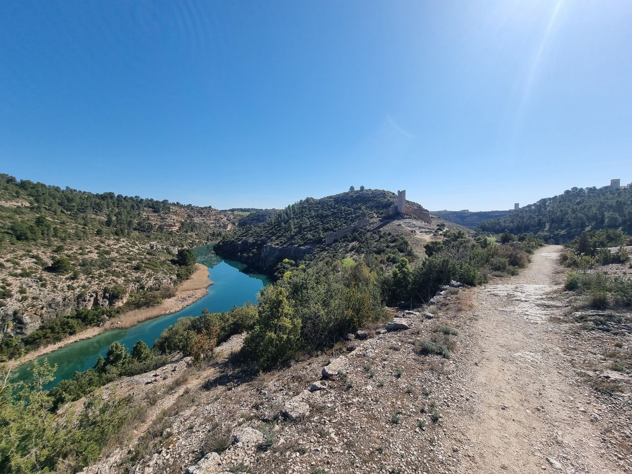
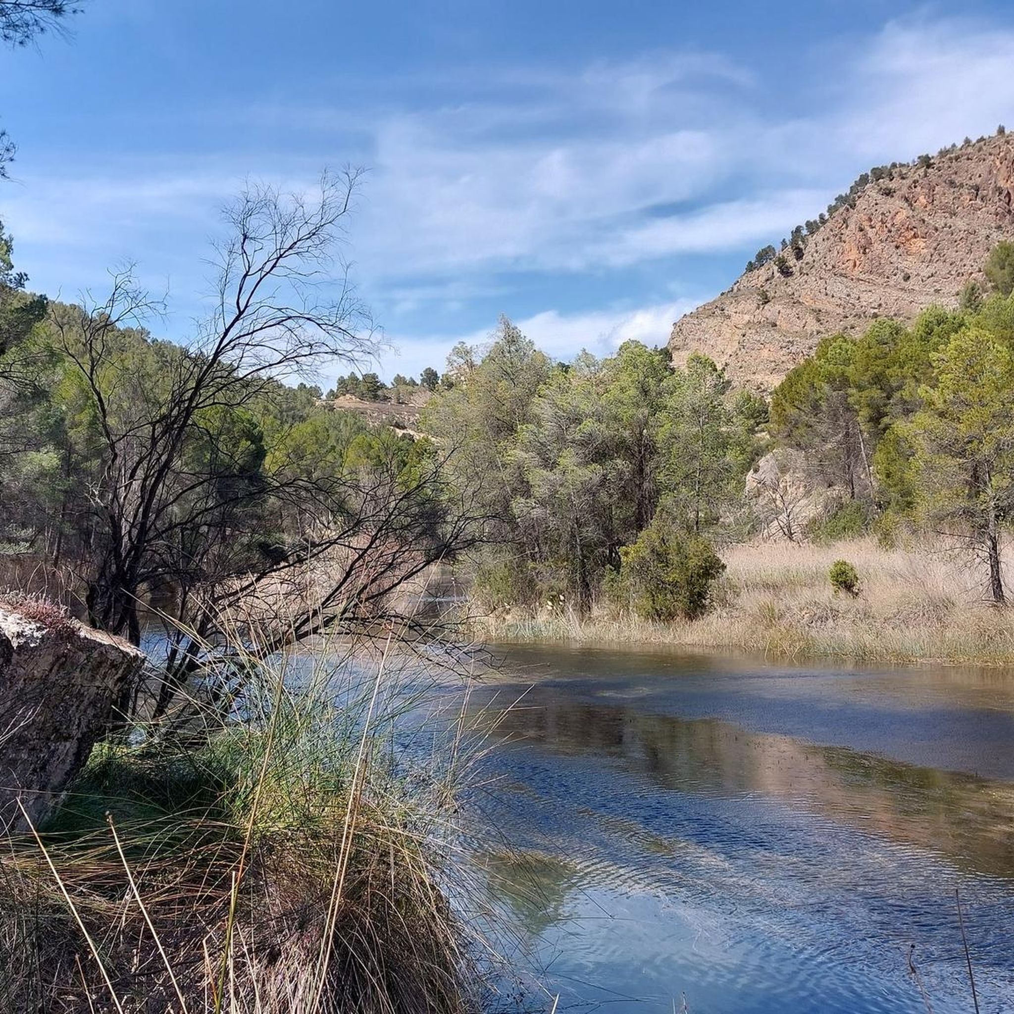
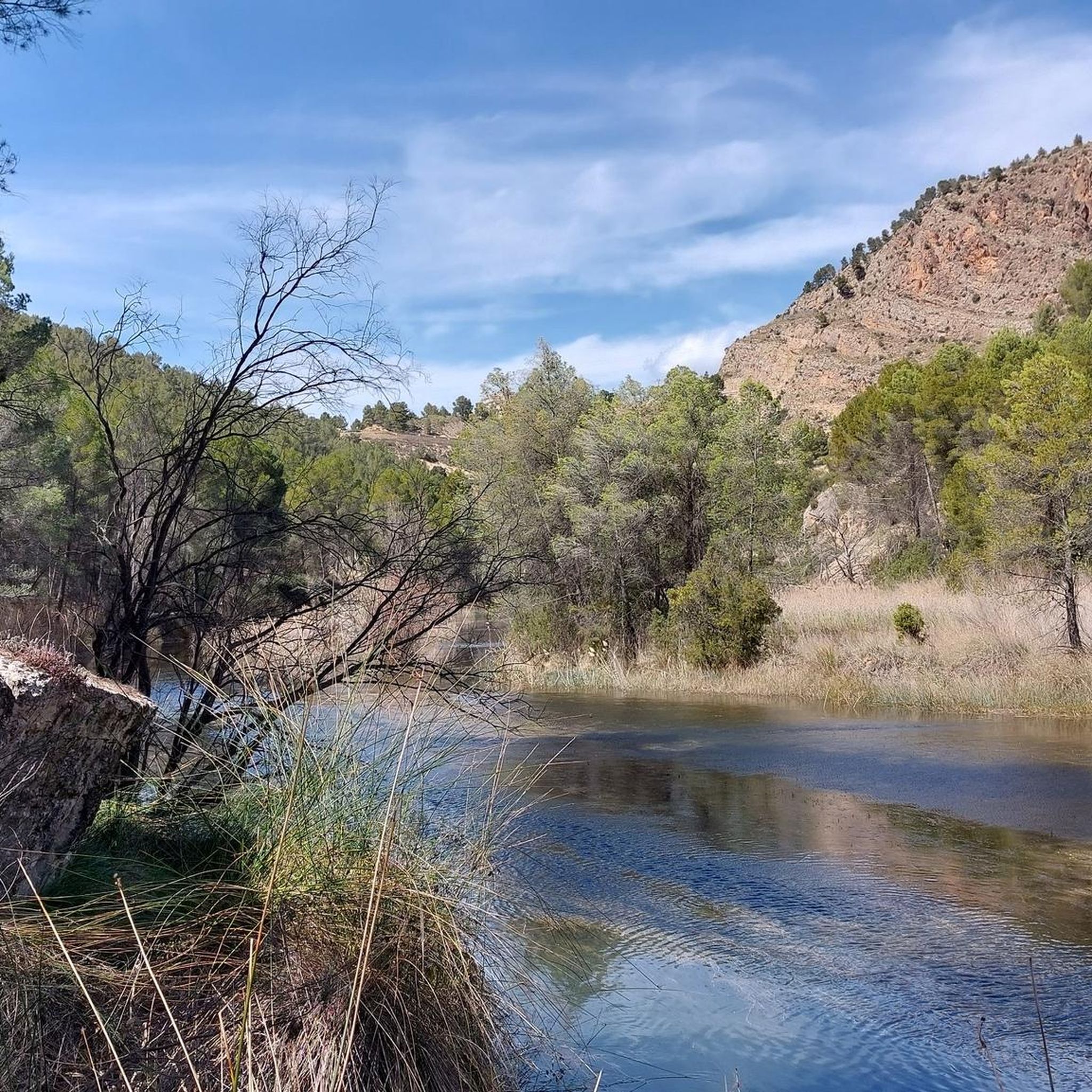
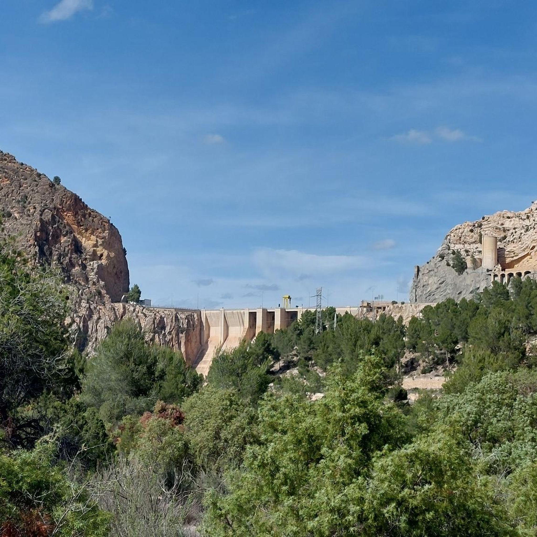
Other adventures around Minglanilla

Tips from the Community

It is worth it, especially if you love nature, spectacular landscapes and outdoor activities. The best thing about the Contreras Reservoir is: * Impressive landscape: the reservoir is surrounded by the Cabriel river gorges, with rocky walls, pine forests and waters of an intense blue-green color. It is one of the most beautiful corners between the provinces of Valencia and Cuenca. * Hiking: the Ruta de los Cuchillos de Contreras is the best known. It is a relatively simple route with viewpoints and spectacular views of the reservoir.
22
0

Beautiful viewpoint of the dam, the river and the factory.
12
0
Square remarkable tower.
13
0
The Contreras dam (Embalse de Contreras) is a 129-meter-high arch dam built in 1972. Located on the border of the provinces of Cuenca (Castilla-La Mancha) and Valencia, the dam spans the Cabriel and Guadazaón rivers. The reservoir serves mainly for water supply, flood protection, and irrigation.
12
1
Some houses are still inhabited!!
0
0
Villargordo del Cabriel is a municipality in the Requena-Utiel region, in the province of Valencia. The town is located on the banks of the Cabriel River and is on the border between Castilla-La Mancha and the Valencia region. One of the biggest tourist attractions is the beautiful nature, which is remarkably well preserved.
15
0
Viewpoint next to the old N-III highway After passing the engineer's house, a turnoff leads to the viewpoint located above the old N-III highway. Sweeping views of the reservoir from a high, accessible point.
4
0
Hiking: Popular routes, such as the "Engineer's House" trail, offer viewpoints overlooking the reservoir and the Cabriel River gorges. Guided tours: Occasionally, the Hydrographic Confederation and the Villargordo Town Council organize tours and talks in the village of Contreras. Historic roads: The abandoned section of the old N-III highway and the Contreras Hills attract engineering enthusiasts, with their original 20th-century asphalt and signage.
9
0
Frequently Asked Questions
How many touring cycling routes are available in Minglanilla?
Komoot currently lists 8 touring cycling routes around Minglanilla. These routes are primarily designed for experienced cyclists due to their challenging nature.
What is the general difficulty level of touring cycling routes in Minglanilla?
All touring cycling routes in Minglanilla are classified as difficult. They feature significant elevation gains and mountainous terrain, making them suitable for cyclists seeking a vigorous workout and challenging ascents.
Are there any circular touring cycling routes in Minglanilla?
Yes, many of the routes in Minglanilla are loops. For example, you can explore the Cuchillos de Contreras and Moluengo Peak Loop, or the Contreras Dam – Cabriel Valley Viewpoint loop from Villargordo del Cabriel, both offering scenic circular journeys.
What natural attractions can I expect to see along the touring cycling routes in Minglanilla?
Minglanilla's routes often traverse diverse natural landscapes. You might encounter lush areas like the Man-Made Forest (Osmeña Reforestation Project), which is situated on one of Southern Cebu's tallest peaks. The region also features waterfalls such as Matun-og Falls, and offers panoramic views from its mountainous terrain.
Are there any notable viewpoints or scenic spots on the routes?
Yes, the mountainous areas of Minglanilla, including those accessible via Gullas Drive, provide breathtaking panoramic views of Talisay City, Minglanilla, and the City of Naga. Specific highlights include the Hoz del Rabo de la Sartén Viewpoint and La Fonseca Viewpoint, offering stunning vistas of gorges and valleys.
Can I find any historical sites or unique landmarks while cycling?
Yes, some routes pass by interesting historical sites. You can discover the Peñas Blancas Path Trench and the Contreras Trench, which are remnants of historical significance in the area.
What is the longest touring cycling route available in Minglanilla?
The longest route listed is the Cabriel Valley Viewpoint – Contreras Viewpoint loop from Aparcamiento de emergencia Vialidad Invernal Minglanilla, which spans approximately 75.4 kilometers (46.9 miles) and involves over 1,100 meters of elevation gain.
Is Minglanilla suitable for family-friendly touring cycling?
Given that all touring cycling routes in Minglanilla are classified as difficult with significant elevation gains, they are generally more suited for experienced adult cyclists rather than families with young children or beginners. The terrain often involves challenging climbs and varied surfaces.
What do other touring cyclists enjoy the most about touring cycling in Minglanilla?
The touring cycling routes in Minglanilla are highly rated by the komoot community, with an average score of 4.3 stars from over 4 reviews. Cyclists often praise the challenging climbs, the diverse terrain, and the scenic viewpoints that offer panoramic views of the surrounding areas.
Are there options for parking near the cycling routes?
While specific parking facilities are not extensively detailed, some routes, like the Contreras Dam – Cabriel Valley Viewpoint loop, start from locations such as 'Aparcamiento de emergencia Vialidad Invernal Minglanilla,' suggesting designated areas for vehicles. It's advisable to check specific route details for starting points with parking availability.
What is the best time of year to go touring cycling in Minglanilla?
Minglanilla offers a tropical climate. While cycling is possible year-round, the cooler, drier months typically provide more comfortable conditions. It's always a good idea to check local weather forecasts before planning your ride, especially considering the mountainous terrain.
Can I bring my dog on the touring cycling routes?
While the region offers natural trails, specific regulations regarding dogs on touring cycling routes are not provided. It's best to check local guidelines or signage at trailheads regarding pet access, especially in protected natural areas like the Man-Made Forest.
Most popular attractions around Minglanilla

Get inspired with the komoot mobile app


Explore more
Browse the best Cycling routes in other regions.
