The best walks and hikes around Albalate De Zorita
4.5
(33)
302
hikers
15
hikes
Hiking around Albalate De Zorita offers diverse natural landscapes at the base of the Sierra de Altomira, characterized by varied terrain and scenic vistas. The region features extensive pine forests, olive groves, and the Tajo River valley, providing a blend of natural beauty. Elevated points like Cerro del Poste and Cerro de la Ermita offer panoramic views of the surrounding area and the river. This area provides a tranquil rural environment for outdoor pursuits.
Best hiking trails around Albalate De…
Last updated: July 22, 2026
4.7
(12)
117
hikers
Moderate hike. Good fitness required. Easily-accessible paths. Suitable for all skill levels.
4.5
(4)
27
hikers
15.2km
03:59
120m
120m
Moderate hike. Good fitness required. Easily-accessible paths. Suitable for all skill levels.

Sign up for free
5.0
(2)
3
hikers
14.6km
03:57
200m
200m
Moderate hike. Good fitness required. Easily-accessible paths. Suitable for all skill levels.
4.0
(1)
1
hikers
Moderate hike. Good fitness required. Easily-accessible paths. Suitable for all skill levels.
5.0
(4)
65
hikers
10.6km
02:51
130m
130m
Moderate hike. Good fitness required. Easily-accessible paths. Suitable for all skill levels.
Get access to more routes and recommendations from other explorers.
Sign up for free
Already have an account?
Our route recommendations are based on thousands of hikes, rides, and runs completed by other people on komoot.
Start today with a free account
Your next adventure awaits.
Login or Signup
Popular around Albalate De Zorita
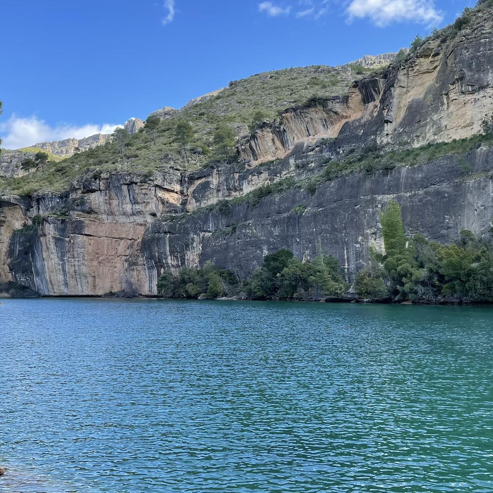
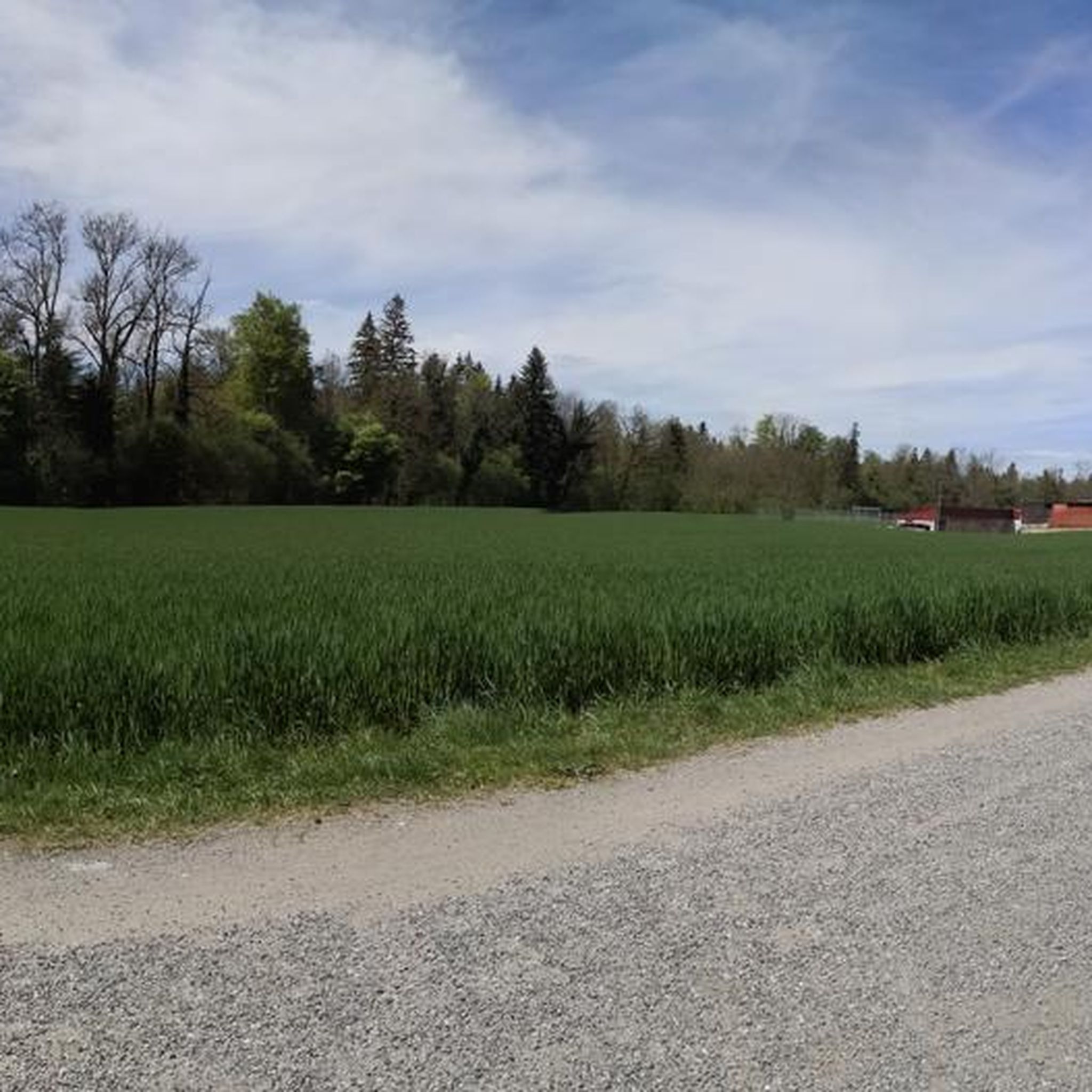
Tips from the Community

The Peña de la Virgen viewpoint is located near the Entrepeñas and Buendía reservoirs, close to the village of Buendía, within the municipality of Sacedón. It is situated very near: Santa María de Poyos, a submerged village now in ruins (2 km to the northwest). Buendía (6 km to the south). Cañaveruelas (9 km to the east). From this viewpoint, there are beautiful views of the Buendía reservoir, making it a popular spot for enjoying the scenery.
1
0
Free access tourist route located near the municipality of Buendía, Cuenca, among pine forests, sandstone stones abound. Here you will find the Ruta de las Caras, a hiking route of a couple of kilometers in which you will be accompanied by pine trees and allegorical sculptures. Faces sculpted in sandstone rock of different sizes, some spectacular, with dimensions of four and six meters, which took eight years to sculpt due to the hardness of the rock.
4
0

A very entertaining route admiring the extraordinary work of the artists.
1
0
This time we went down to the River through the Presa tunnel.
1
0
If you ever venture into this region, don't just cross the bridge, but also explore the natural beauty that surrounds the Guadiela River. 🌿🌊
16
0
Very practical to go from one side of the reservoir to the other.
5
0
The Embalse Dam and the entire area is very touristy, suitable for quiet hiking.
1
0
Place of pilgrimage and visits on the Guadiela path. There is a recreation area for adults and children.
2
0
Frequently Asked Questions
How many hiking trails are available around Albalate De Zorita?
There are over 10 hiking routes around Albalate De Zorita, offering diverse experiences from easy strolls to more moderate excursions. These trails are highly rated by the komoot community, with an average score of 4.5 stars.
What kind of terrain can I expect on hikes in Albalate De Zorita?
Hiking in Albalate De Zorita features varied terrain, including extensive pine forests, olive groves, and almond trees. You'll also find wild aromatic plants, junipers, esparto grass, and holm oaks. Many trails offer panoramic views from elevated points like Cerro del Poste and Cerro de la Ermita, overlooking the Tajo River valley and the Sierra de Altomira.
Are there any easy or family-friendly hiking options in the area?
Yes, for an easier, family-friendly option, consider the Ruta de la Vega. This circular path is about 2.95 km long with minimal elevation, making it suitable for children. It explores the fertile Vega de Albalate, passing through orchards and traditional irrigation channels. While not listed in the guide data, the region offers one easy route among its total of 11 trails.
Can I bring my dog on the hiking trails in Albalate De Zorita?
The natural environment of Albalate De Zorita is generally welcoming for dogs, especially given the extensive pine forests and open landscapes. However, it's always recommended to keep dogs on a leash, especially near agricultural areas or wildlife, and to check specific trail regulations or local signage for any restrictions.
Are there any circular hiking routes available?
Yes, many routes in the area are circular. For example, the Ermita de Nuestra Señora de los Desamparados – circular along the Guadiela River (PR-CU 47) is a popular circular trail. Another option is the Castillo de Zorita de los Canes — circular by the Archaeological Park of Recópolis, which combines nature with historical exploration.
What are some notable natural viewpoints or landmarks I can see while hiking?
Hikers can enjoy magnificent panoramic views from elevated points such as Cerro del Poste and Miravalles, offering vistas of the town, the Sierra de Altomira, and the Tajo River valley. The Cerro de la Ermita also provides impressive views. A significant natural highlight is the Salto de Bolarque, a spectacular spot ideal for hiking with views of its reservoir. You can also visit the Cruz de los Borrachos Viewpoint.
What historical sites or cultural attractions can be explored near the hiking trails?
Several hiking paths weave through historical sites. Nearby, you can explore the Zorita de los Canes Castle and the Recópolis Archaeological Site, an important Visigothic city. The Buendía Dam is also a point of interest, providing access to routes like the Bridge over the Guadiela River – Buendía Dam loop from Convento Carmelita.
What do other hikers say about the trails in Albalate De Zorita?
The trails in Albalate De Zorita are highly rated by the komoot community, with an average score of 4.5 stars from over 28 reviews. Hikers often praise the diverse natural landscapes, the tranquil rural environment, and the blend of natural beauty with cultural heritage found along the routes.
Is there public transport available to reach the hiking trailheads?
Information on specific public transport routes directly to all trailheads is limited. It is generally recommended to travel by car to access many of the hiking starting points in the Albalate De Zorita region, as it offers more flexibility for exploring the diverse trails.
Where can I find parking for hiking trails in Albalate De Zorita?
While specific parking areas for each trailhead are not detailed, Albalate De Zorita is a rural area, and parking is typically available in or near the villages where trails begin. It's advisable to check local signage or maps for designated parking spots, especially when starting a route from a town center.
What is the best time of year to go hiking in Albalate De Zorita?
The region's diverse vegetation and natural features make it enjoyable throughout much of the year. Spring and autumn generally offer the most pleasant temperatures for hiking, with lush landscapes in spring and vibrant colors in autumn. Summer can be warm, so early morning or late afternoon hikes are recommended, while winter offers a tranquil experience, though some higher elevation points might be cooler.
Are there any routes that feature river views or water features?
Yes, the Tajo River is a central natural element, shaping the valley landscapes visible from numerous viewpoints. The Ermita de Nuestra Señora de los Desamparados – circular along the Guadiela River (PR-CU 47) specifically follows the Guadiela River, offering beautiful riverine views. The Salto de Bolarque also provides views of its reservoir.
Are there any challenging hikes for experienced hikers?
While the guide data indicates a majority of routes are moderate, the region offers trails with significant elevation changes, such as the climb to Cerro del Poste, which stands at 950 meters. These routes provide a good challenge and reward hikers with expansive panoramic views. The Route of the Faces - circular from Buendía (PR-CU 46) is a moderate 15.2 km path exploring unique rock formations.
Most popular routes around Albalate De Zorita
Most popular attractions around Albalate De Zorita

Get inspired with the komoot mobile app


Explore more
Browse the best Hikes in other regions.
