The best road cycling routes around Národný park Poloniny
5.0
(13)
941
riders
26
rides
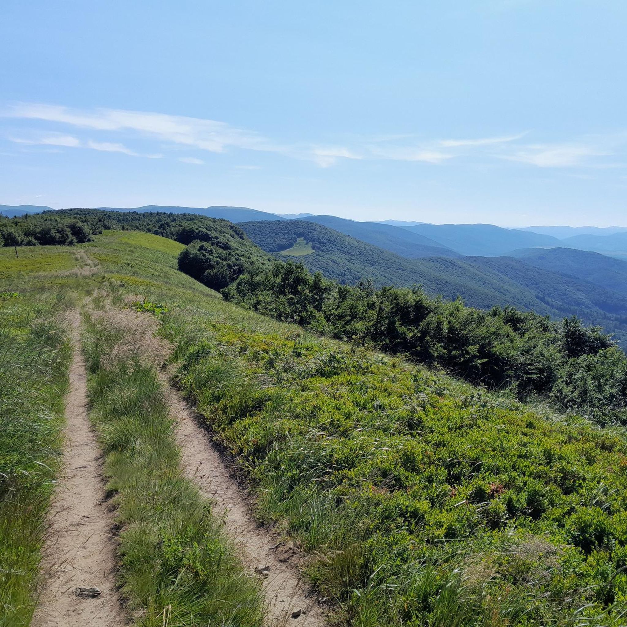
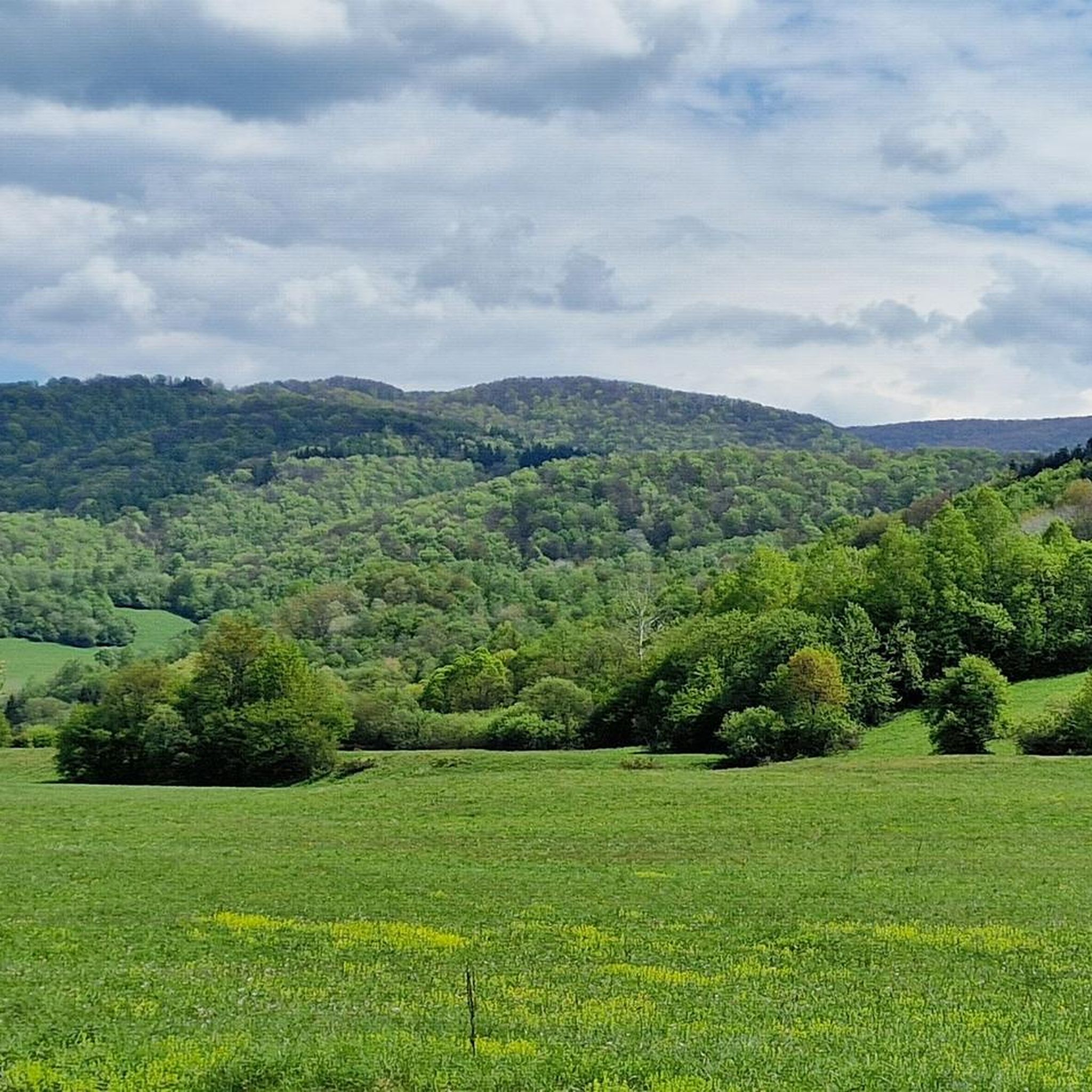
Road cycling around Národný park Poloniny features a landscape characterized by rolling hills, dense woodlands, and views of the Carpathian Mountains. The region, part of a natural park, offers a mix of challenging ascents and scenic routes through rural areas. Road cyclists can expect varied terrain, including sections near historic wooden churches and mountain passes. The area provides opportunities for both moderate and difficult road cycling experiences.
Best road cycling routes around Národný park Poloniny
- The most popular road cycling route is Wooden Church in Topoľa – Wooden Chapel in Jalová loop from Snina, a 63.3 miles (101.9 km) trail that takes 4 hours 39 minutes to complete. This difficult route passes by significant cultural landmarks.
- Another top favourite among local road cyclists is View of the mountains in Cisna loop from Przysłup, a moderate 28.5 miles (45.9 km) path. This route offers expansive mountain views and varied terrain.
- Local road cyclists also love the Zico Gym Snina loop from Snina mesto, a 27.6 miles (44.5 km) trail leading through the local countryside, often completed in about 1 hour 59 minutes.
- Road cycling around Národný park Poloniny is defined by mountain views, historic wooden churches, and rolling hills. The network offers options for different ability levels, from moderate to difficult.
- The routes in Národný park Poloniny are highly rated by the komoot community with an average score of 5.0 stars from around 8 reviews. More than 600 road cyclists have used komoot to explore Národný park Poloniny's varied terrain.
Last updated: October 9, 2026
5.0
(1)
9
riders
59.3km
02:57
900m
900m
Hard road ride. Very good fitness required. Some segments of this route may be unpaved and difficult to ride.
5.0
(2)
8
riders
102km
04:40
1,120m
1,120m
Hard road ride. Very good fitness required. Mostly well-paved surfaces and easy to ride.

28
riders
46.8km
02:54
680m
680m
Moderate road ride. Good fitness required. Some segments of this route may be unpaved and difficult to ride.
8
riders
44.5km
01:59
380m
380m
Moderate road ride. Good fitness required. Mostly well-paved surfaces and easy to ride.
5.0
(2)
99
riders
55.3km
02:38
760m
760m
Moderate road ride. Good fitness required. Mostly well-paved surfaces and easy to ride.
Get access to more routes and recommendations from other explorers.
Already have an account?
Our route recommendations are based on thousands of hikes, rides, and runs completed by other people on komoot.
Start today with a free account
Your next adventure awaits.


Tips from the Community

More information: https://pl.wikipedia.org/wiki/Prze%C5%82%C4%99cz_%C5%BBebrak https://mapa-turystyczna.pl/node/przelecz-zebrak#49.26830/22.19461/14 https://goryaktywnie.pl/przelecz-zebrak https://www.twojebieszczady.net/warto/zebrak.php https://www.bieszczady.net.pl/przelecz-zebrak/
2
0

A mountain pass at an altitude of 816 meters above sea level between Chryszczata and Jaworne. A nice shelter for resting here – easy and pleasant.
1
0

One of the more pleasant sections of the Great Bieszczady Loop, leading along a local road between Brzegi Góry and the bridge over the San in Dwernik. Good surface, less traffic than on other sections of the loop, leading along provincial roads. Sloping terrain profile and riding along the Dwernik River, running on one side of the road, then the other. The long and pleasant descent ends on a wooden bridge over the San River.
0
0

Wyżna Pass, located at an altitude of 872 m above sea level in the Western Bieszczady Mountains, is one of the most recognizable places in the region. The pass offers a magnificent panorama of Połonina Wetlińska, Połonina Caryńska and Tarnica, the highest peak of the Western Bieszczady Mountains. For road cyclists, it is an attractive point on the Great Bieszczady Loop route, offering well-maintained asphalt roads. There is a large parking lot, a bus stop and an inn on site, making it a convenient place to rest. It is also worth paying attention to the monument dedicated to Jerzy Harasymowicz, a poet associated with the Bieszczady Mountains.
1
0
The ascent to Przełęcz Wyżna from Wetlina is longer than from Brzegi Górne and has fewer sides. Over a distance of 5.4 km we overcome 210 m of elevation with an average gradient of 4%. The asphalt is of good quality. On the pass there is a restaurant Zajazd u Górala.
1
0
Wyżna Pass can be reached from Brzegi Górne or Wetlina. Coming from Brzegi, we cover 2.4 km and 130 m of elevation and 5.6% average gradient. The climb gradually becomes steeper and flattens out just before the pass. The quality of the surface is satisfactory.
1
0

On the occasion of the mountain bonus at the pass, you can stop and visit the observation tower with beautiful views, especially towards Smerek and Połonina Wetlińska. The tower is equipped with a telescope, but using it is not easy. The telescope has a swinging suspension, allowing for quick movements in any direction, which makes the image dance and difficult to stabilize. In case of unexpected heavy rain, you can wait it out in the wooden shelter next to the parking lot. Good asphalt surface on the road from Nowy Łupków to Cisna. WW
0
0
Frequently Asked Questions
How many road cycling routes are available in Národný park Poloniny?
Národný park Poloniny offers a diverse network of over 20 road cycling routes, catering to various skill levels. These include 1 easy route, 10 moderate routes, and 10 difficult routes.
Are there any easy road cycling routes suitable for beginners or families in Národný park Poloniny?
Yes, there is one easy road cycling route available. While the region is known for its more challenging terrain, this option provides a gentler introduction to road cycling in Národný park Poloniny.
What kind of terrain can I expect on road cycling routes in Národný park Poloniny?
Road cyclists in Národný park Poloniny can expect varied terrain, characterized by rolling hills, dense woodlands, and views of the Carpathian Mountains. Routes often include challenging ascents and scenic sections through rural areas, sometimes passing by historic wooden churches and mountain passes.
Which routes offer expansive mountain views in Národný park Poloniny?
For expansive mountain views, consider the View of the mountains in Cisna loop from Przysłup. This moderate 28.5-mile (45.9 km) path is specifically noted for its scenic vistas. Another route, Wyżna Pass – View of Bieszczady Mountains loop from Wetlina, also offers great mountain views.
Are there any long or challenging road cycling routes for experienced riders?
Yes, Národný park Poloniny features 10 difficult road cycling routes. A notable challenging option is the Wooden Church in Topoľa – Wooden Chapel in Jalová loop from Snina, which is 63.3 miles (101.9 km) long and includes significant cultural landmarks. Another difficult route is the Bell tower in Terka – Bridge Below the Solina Dam loop from Krzywe, covering 70.8 miles (114.0 km).
What are some cultural or historical landmarks I can see along the road cycling routes?
Many routes in Národný park Poloniny pass by significant cultural landmarks. The Wooden Church in Topoľa – Wooden Chapel in Jalová loop from Snina route, for example, is known for passing by historic wooden churches. The region itself is characterized by these unique architectural gems.
What do other road cyclists say about the routes in Národný park Poloniny?
The road cycling routes in Národný park Poloniny are highly rated by the komoot community, with an average score of 5.0 stars from around 8 reviews. Cyclists often praise the varied terrain, the stunning mountain views, and the opportunity to explore rural areas and historic sites.
Are there any loop routes available for road cycling?
Yes, many routes in the area are designed as loops. Examples include the popular Wooden Church in Topoľa – Wooden Chapel in Jalová loop from Snina, the scenic View of the mountains in Cisna loop from Przysłup, and the local favorite Zico Gym Snina loop from Snina mesto.
What are some points of interest or attractions near the road cycling routes?
Beyond the routes themselves, you can explore several points of interest. These include the Krzemieniec Tri-Border Point, the Ruské Sedlo / Przełęcz nad Roztokami Górnymi Lookout Tower for panoramic views, and the serene Starina Reservoir. There are also several mountain peaks like Okrąglik and Rabia Skała (1199 m) nearby.
Where do the road cycling routes typically start from in Národný park Poloniny?
Routes often start from towns and villages surrounding or within the national park. For instance, popular starting points include Snina, Przysłup, Wetlina, and Krzywe, offering convenient access to various trails.
What is the average distance of road cycling routes in the area?
The distances of road cycling routes in Národný park Poloniny vary significantly. You can find routes ranging from shorter, moderate paths like the Zico Gym Snina loop from Snina mesto at 27.6 miles (44.5 km), to much longer and more challenging options such as the Wooden Church in Topoľa – Wooden Chapel in Jalová loop from Snina at 63.3 miles (101.9 km).
Most popular routes around Národný park Poloniny
Most popular attractions around Národný park Poloniny

Get inspired with the komoot mobile app


Explore more
Browse the best Road cycling routes in other regions.
