The best MTB trails around Horná Orava
4.5
(314)
2,263
riders
168
rides
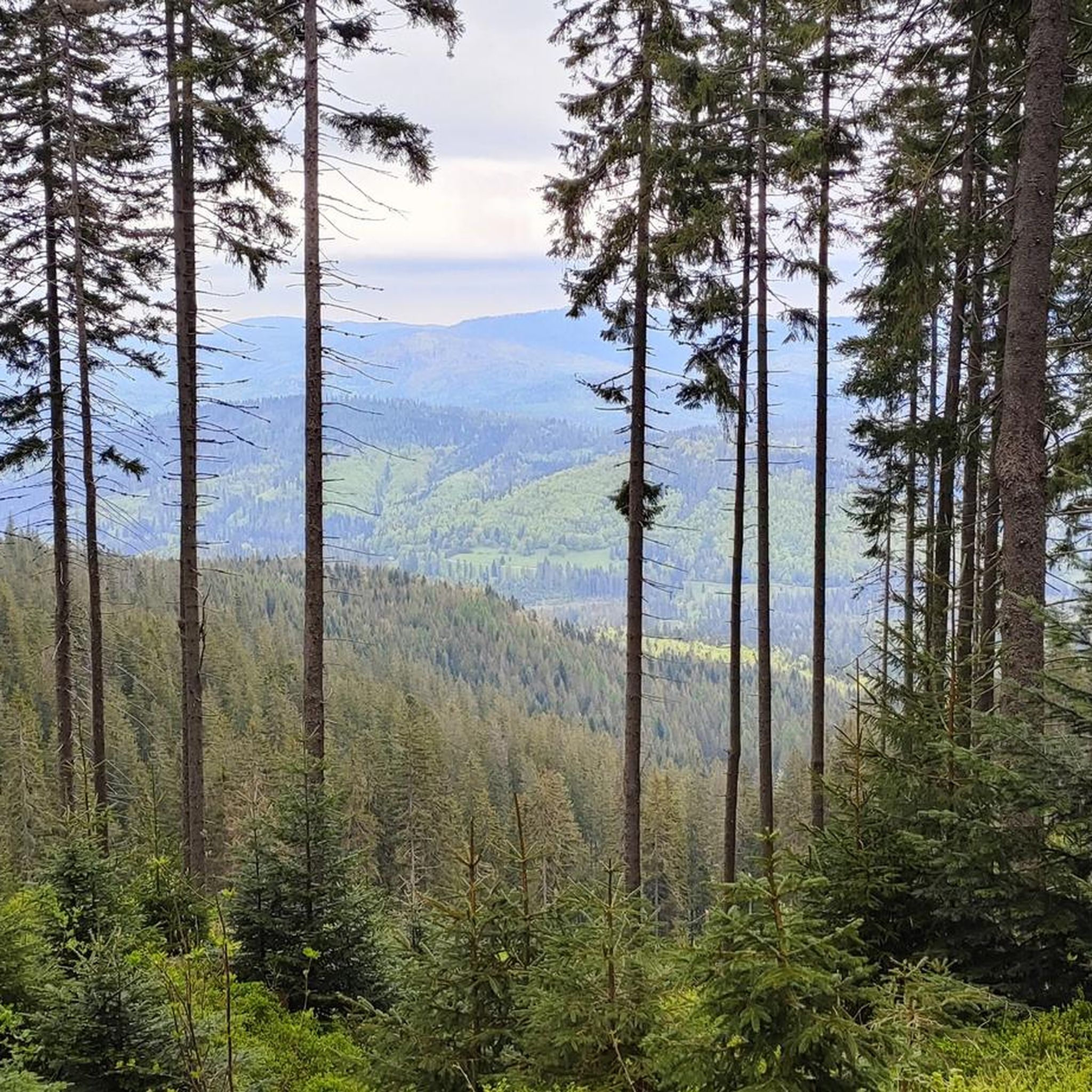
Mountain biking around Horná Orava offers diverse terrain within a protected landscape area in northern Slovakia. The region features majestic mountains like Babia Hora and Pilsko Peak, alongside the Oravská Magura and Orava Beskids ranges, characterized by sandstone and flysch formations. Dense forests, primarily beech-fir and spruce, cover nearly half of the area, providing varied riding environments. The Orava Dam, a large water reservoir, adds a significant natural feature to the landscape.
Best mountain bike trails around Horná Orava
- The…
Last updated: October 5, 2026
5.0
(2)
10
riders
69.9km
05:16
1,040m
1,040m
Hard mountain bike ride. Very good fitness required. Suitable for all skill levels.
5.0
(1)
4
riders
18.8km
01:27
210m
210m
Moderate mountain bike ride. Great for any fitness level. Advanced riding skills necessary.

3
riders
52.7km
03:39
750m
750m
Moderate mountain bike ride. Good fitness required. Advanced riding skills necessary.
3
riders
23.2km
01:58
400m
400m
Moderate mountain bike ride. Good fitness required. Advanced riding skills necessary.
2
riders
16.4km
01:59
810m
810m
Moderate mountain bike ride. Good fitness required. Suitable for all skill levels.
Get access to more routes and recommendations from other explorers.
Already have an account?
Our route recommendations are based on thousands of hikes, rides, and runs completed by other people on komoot.
Start today with a free account
Your next adventure awaits.
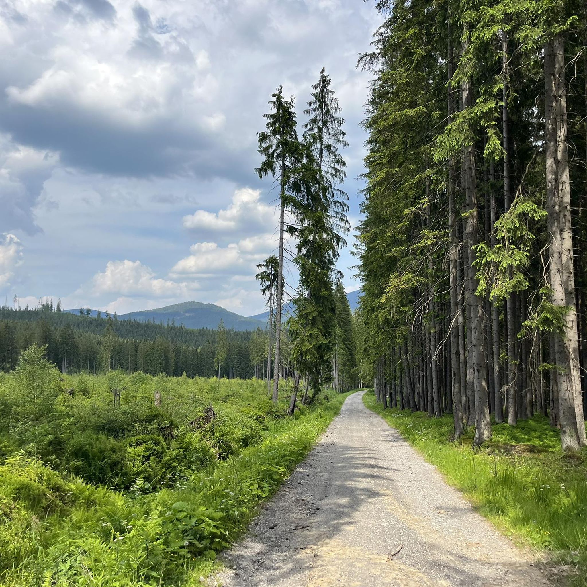
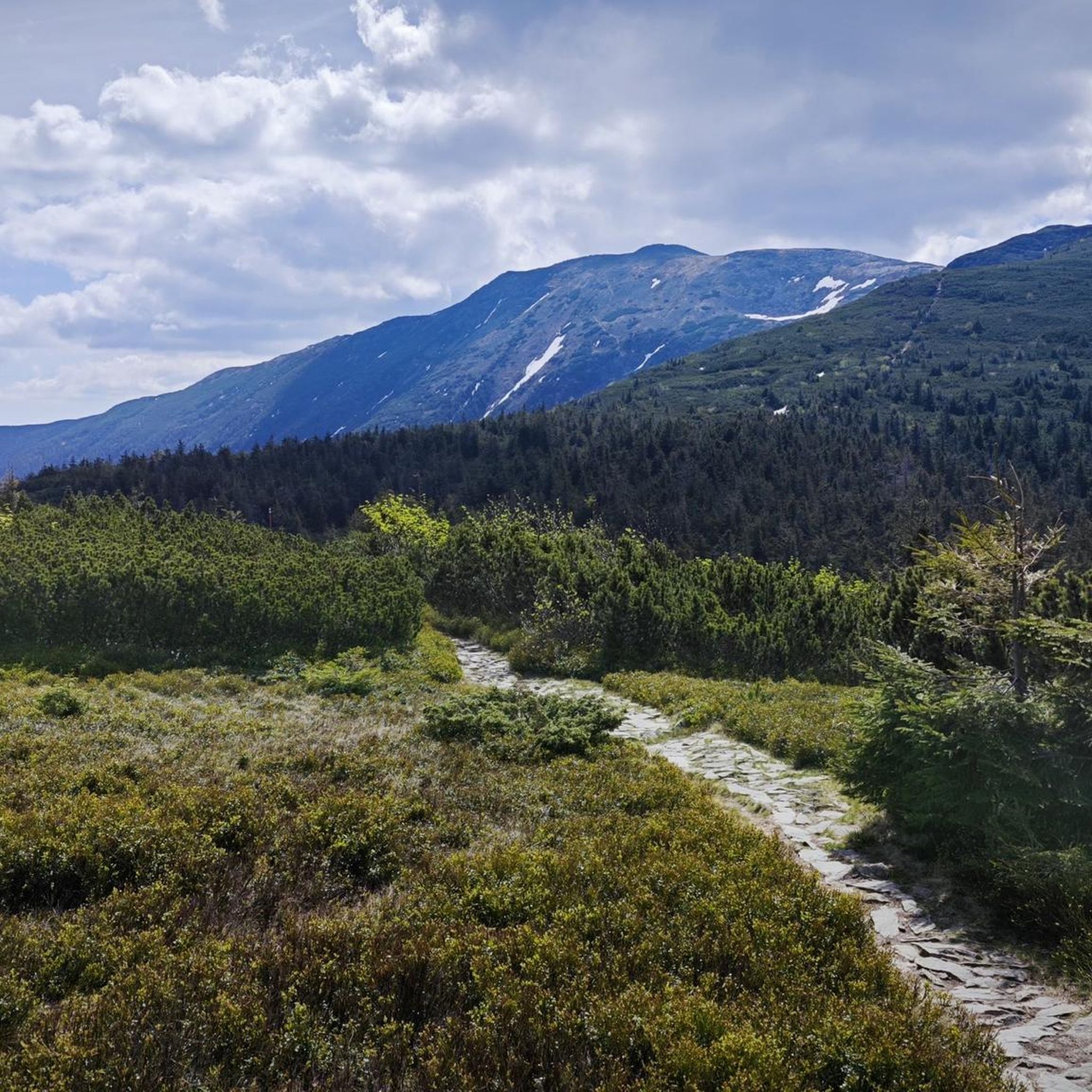
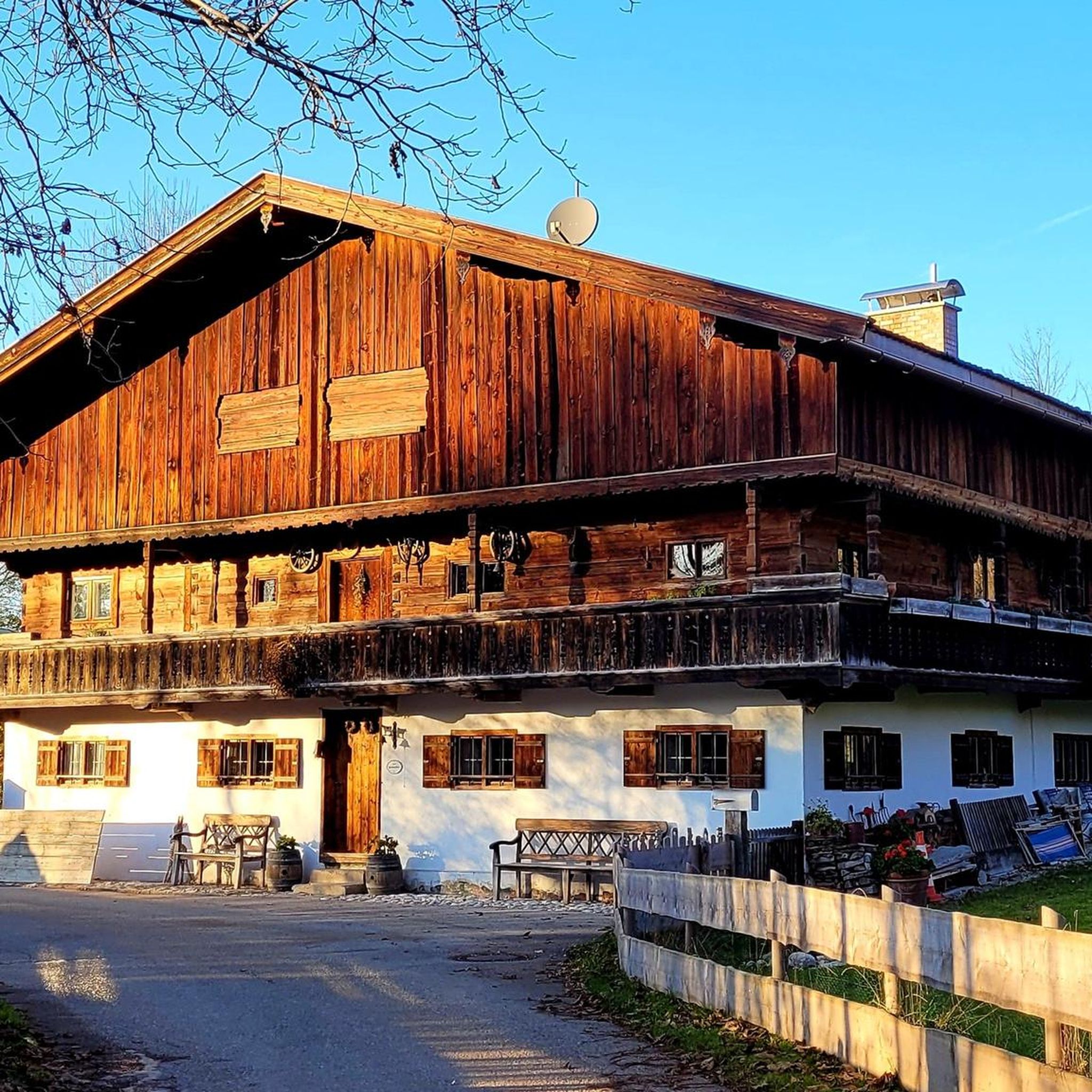
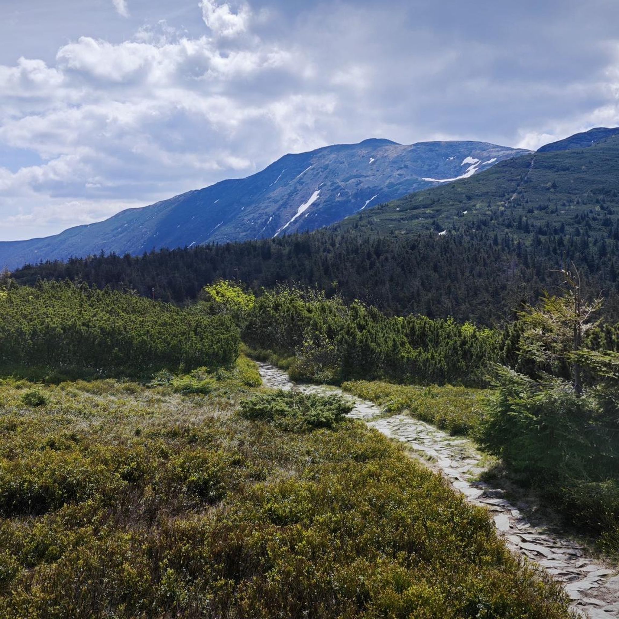
Tips from the Community

Parking, buses nearby, a great place to start your hike. Great views, generally straight from the parking lot.
2
0

From Namestovo to the radio tower. Ascent on asphalt and gravel road, descent on a very steep, washed-out forest road. Beautiful views of the reservoir and Namestovo.
0
0

The shelter is right next to the bike path. Two benches inside. The technical condition is so-so, but it's always a place to rest.
0
0

Watch out for the Slovak section from Medralowa downwards, there are a lot of broken and cut trees which are sometimes difficult to get around, info from 01/05/2025. The path is in poor condition, in the summer it is so overgrown that it is even difficult to find it.
0
0

Pilsko (1,557 m above sea level) is the second highest peak in the Żywiec Beskids, known for its vast panoramas of the Tatras, Mala Fatra and Babia Góra. There are several trails leading to the peak, including from Korbielów, Sopotnia Wielka and Złatna, with the approach from the Polish side being steep but rewarding. In winter, there is a ski resort here, while in summer, Pilsko attracts tourists who appreciate the wilderness and mountain climate. The peak lies on the border between Poland and Slovakia, and on the Slovak side, you can find a shelter at Hala Miziowa. It is worth taking a supply of water and appropriate footwear, because the approach can be muddy.
3
0

it's worth going, in nice weather great views
0
0

A dozen or so parking spaces, a good starting point for Pilsko
0
0

This scene unnecessarily blocks the view of the lake. The city is not very interesting. There are some pubs and shops in this place.
0
0
Frequently Asked Questions
How many mountain bike trails are available in Horná Orava?
Horná Orava offers a comprehensive network of over 160 mountain bike trails. These routes cater to various skill levels, ranging from moderate to difficult, ensuring diverse options for all riders.
What kind of terrain can I expect on mountain bike trails in Horná Orava?
The terrain in Horná Orava is diverse, featuring majestic mountains like Babia Hora and Pilsko Peak, dense forests primarily composed of beech-fir and spruce, and expansive water reservoirs such as the Orava Dam. You'll encounter sandstone mountain ranges and flysch mountains, offering varied riding environments with significant elevation changes on many routes.
Are there any easy mountain bike trails suitable for beginners in Horná Orava?
Yes, while many trails are moderate to difficult, there are a few easier options. For instance, the region has 4 trails classified as easy. Additionally, the Tatra Cycleway, built on a former railway line, offers gentle ascents and descents, making it a comfortable option for less experienced riders.
What are some challenging mountain bike trails in Horná Orava?
Horná Orava is known for its challenging routes, with 68 trails classified as difficult. An example of a demanding route is the Głuchaczki Pass – Shelter in CHKO Horná Orava loop from Zubrohlava, which covers over 72 km with significant elevation changes.
What natural features or landmarks can I see along the mountain bike trails?
Mountain biking in Horná Orava offers access to numerous natural features and landmarks. You can encounter prominent peaks like Babia Gora (Diablak) and Pilsko Peak. The region also features the expansive Orava Dam, offering scenic views, and unique humid peat bogs. Some routes may pass through areas near the Harrow Pass.
Are there any circular mountain bike routes in Horná Orava?
Yes, many mountain bike trails in Horná Orava are designed as loops. For example, the Žiar – Závrch loop from Zubrohlava is a moderate 23 km route, and the Glinne Pass – Pilsko Peak loop from Hliny / Przełęcz Glinne offers a challenging 16 km ride with significant climbs.
What is the best time of year to go mountain biking in Horná Orava?
The best time for mountain biking in Horná Orava is generally from spring through autumn. During these seasons, the weather is more favorable, and trails are typically free of snow and ice, allowing for optimal riding conditions. Winter riding can be challenging due to snow cover, especially at higher elevations.
Is Horná Orava suitable for family-friendly mountain biking?
While many trails are moderate to difficult, there are options for families. The Tatra Cycleway, built on a former railway line, provides gentle terrain suitable for a more relaxed family ride. For specific family-friendly routes, it's best to look for trails classified as easy or those with minimal elevation gain.
What do other mountain bikers say about the trails in Horná Orava?
The mountain bike trails in Horná Orava are highly regarded by the komoot community, with an average rating of 4.6 stars from over 200 reviews. Riders often praise the diverse terrain, the scenic beauty of the protected landscape, and the variety of challenges offered by the routes.
Are there options for parking or public transport access to the trails?
Horná Orava is a well-established outdoor destination, and many trailheads, especially those near towns like Zubrohlava or Námestovo, offer parking facilities. While specific public transport details for every trailhead are not available, major towns in the region are typically accessible by bus, which can often get you close to starting points.
Can I find mountain bike trails that offer great viewpoints in Horná Orava?
Absolutely. The mountainous landscape of Horná Orava provides numerous opportunities for stunning viewpoints. Trails often lead to or pass by peaks like Babia Hora and Pilsko Peak, which are renowned for their panoramic views. The Orava Dam also offers picturesque vistas of the surrounding mountains and water.
Are there any specific regulations for mountain biking in the Horná Orava Protected Landscape Area?
As Horná Orava is a protected landscape area, it's important to respect local regulations. This typically includes staying on marked trails, not disturbing wildlife, and adhering to any signage regarding restricted areas. For detailed information on specific rules, you may consult resources like Wikipedia's page on the Horná Orava Protected Landscape Area.
Most popular routes around Horná Orava
Most popular attractions around Horná Orava

Get inspired with the komoot mobile app


