The best running trails around Montejaque
4.3
(50)
2,423
runners
160
runs
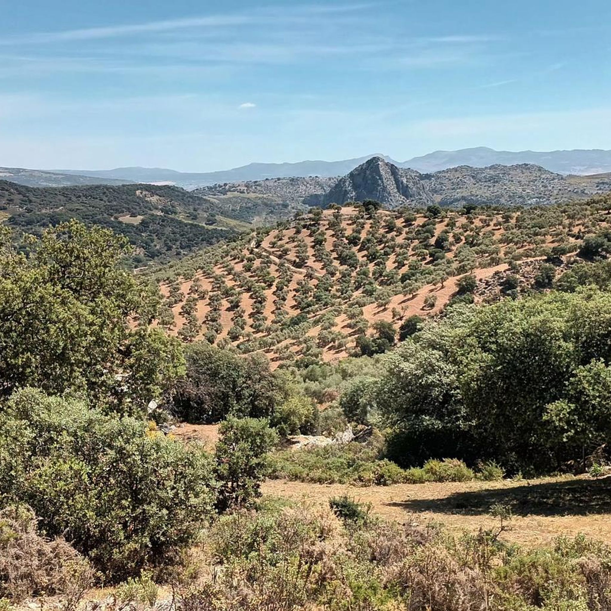
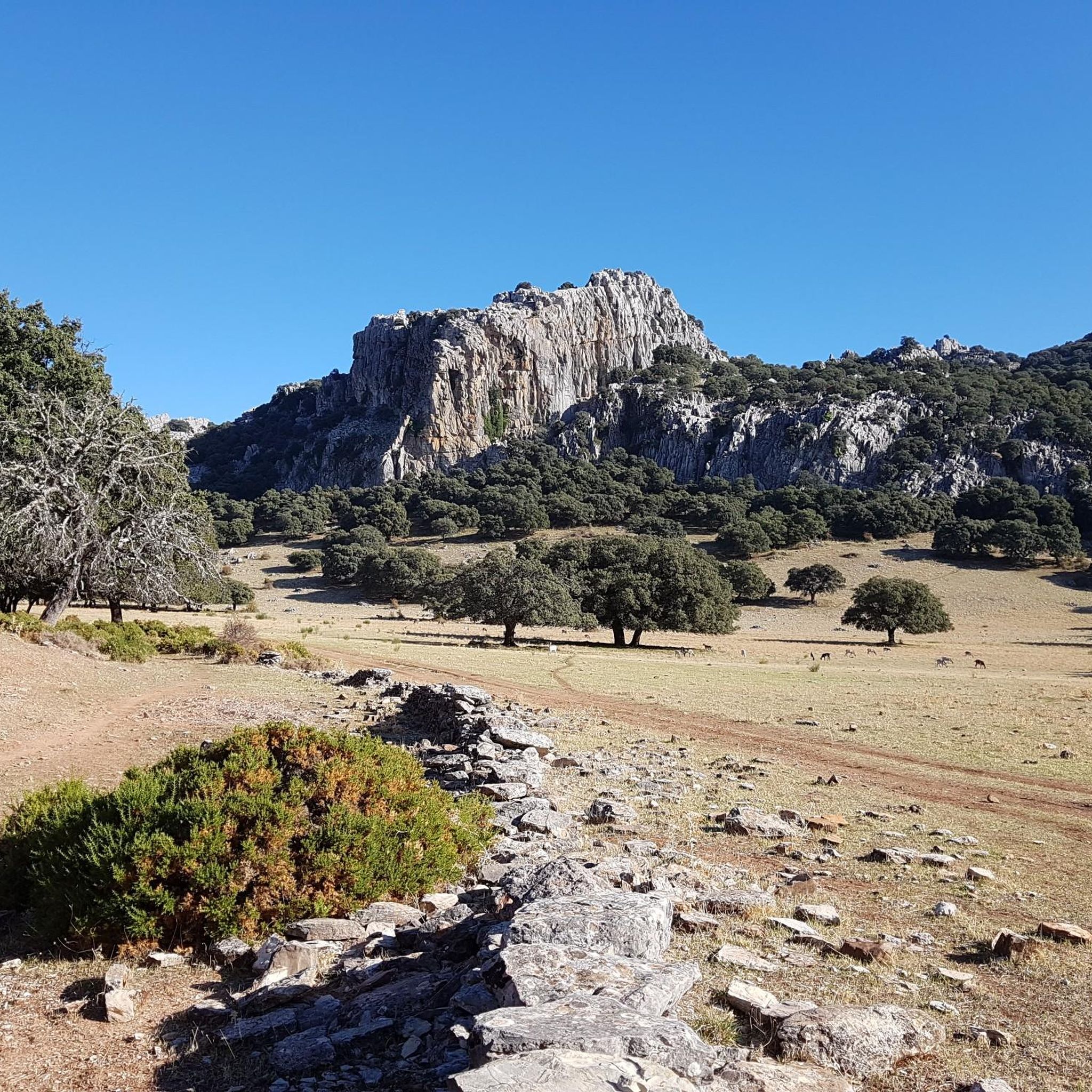
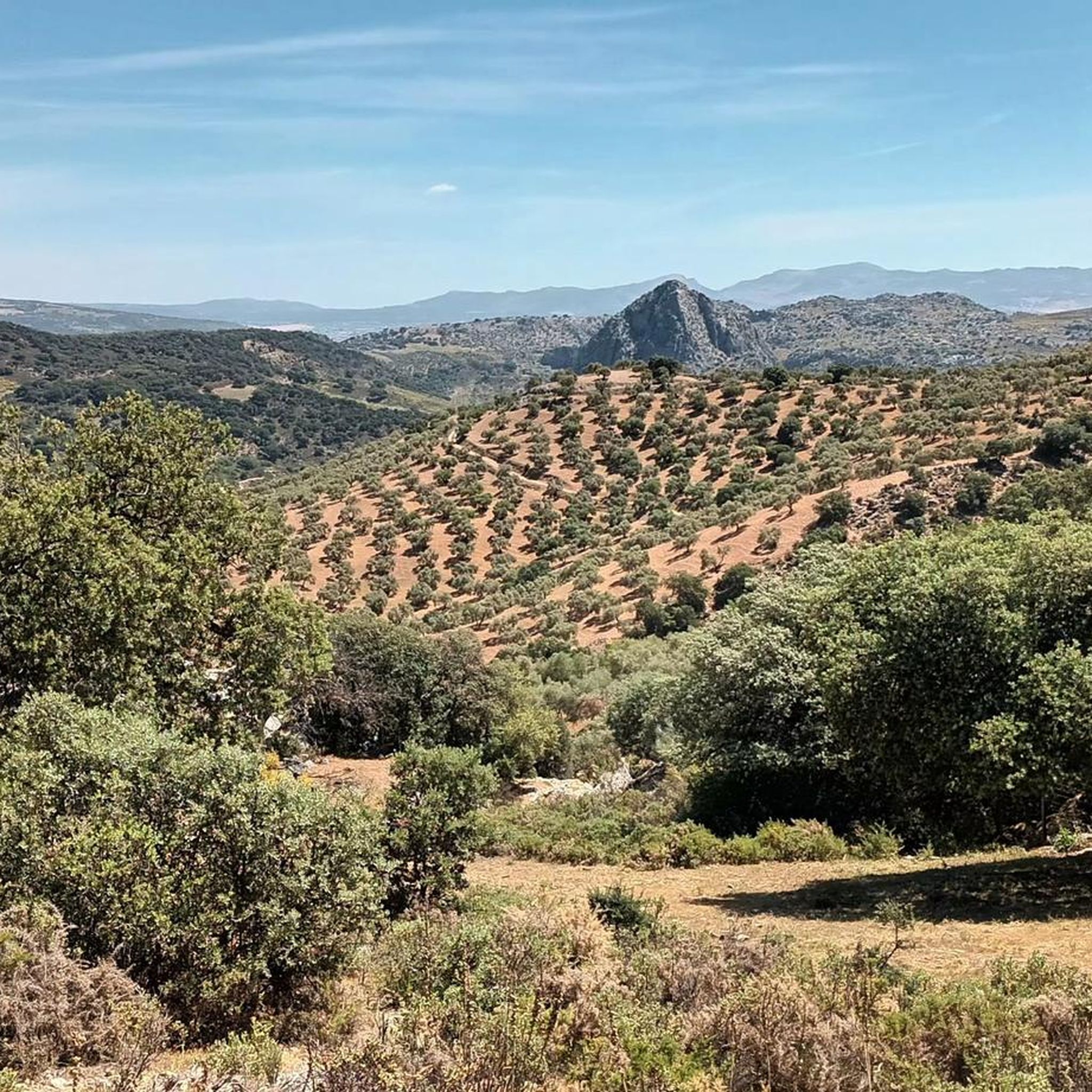
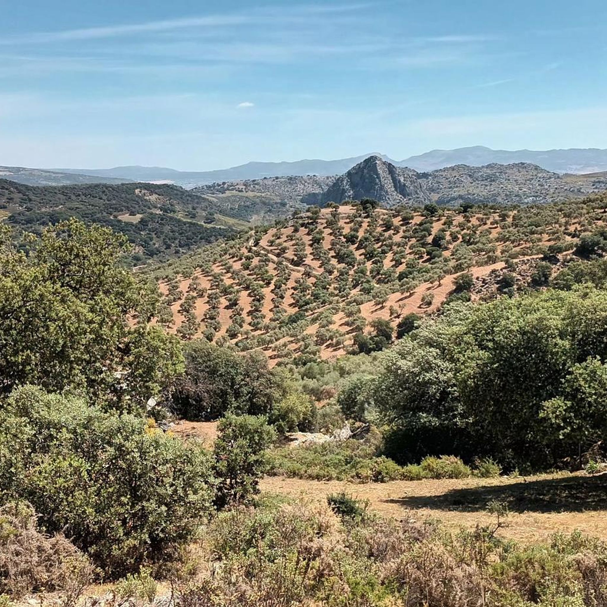
Jogging routes around Montejaque are set within the Sierra de Grazalema Natural Park, offering diverse landscapes for runners. The region features dramatic limestone peaks of the Sierra de Líbar, the meandering Guadiaro River Valley, and impressive karst formations. These physical features provide varied terrain, from valley paths to more challenging mountain trails, suitable for different running preferences.
Best jogging routes around Montejaque
- The most popular jogging route is Cueva del Gato Trail, a 3.2 miles (5.1 km) trail that…
Last updated: July 31, 2026
3.0
(1)
27
runners
5.11km
00:38
70m
70m
Moderate run. Good fitness required. Mostly paved surfaces. Suitable for all skill levels.
50
runners
54.6km
06:35
1,480m
1,480m
Hard run. Very good fitness required. Mostly paved surfaces. Suitable for all skill levels.

Sign up for free
31
runners
16.2km
02:01
280m
280m
Hard run. Very good fitness required. Mostly paved surfaces. Suitable for all skill levels.
28
runners
24.3km
03:08
950m
950m
Hard run. Very good fitness required. Mostly paved surfaces. Suitable for all skill levels.
14
runners
23.2km
03:11
910m
910m
Hard run. Very good fitness required. Mostly paved surfaces. Suitable for all skill levels.
Get access to more routes and recommendations from other explorers.
Sign up for free
Already have an account?
Our route recommendations are based on thousands of hikes, rides, and runs completed by other people on komoot.
Start today with a free account
Your next adventure awaits.
Login or Signup


Other adventures around Montejaque

Tips from the Community


I went down again in the evening, just fantastic
0
0
A very beautiful building
0
2

The Mirador de Aldehuela is one of Ronda's most famous viewpoints, located near the Puente Nuevo. From here, you have a spectacular panorama of the deep El Tajo gorge, the bridge, and the surrounding landscape of mountains and valleys. It is named after the architect José Martín de Aldehuela, who completed the Puente Nuevo in the 18th century. 👉 A perfect spot for photos, especially at sunset!
5
0
The Church of Our Lady of Mercy in Ronda is a historic church, built in 1585, known for housing a holy relic: the incorrupt hand of Saint Teresa of Ávila. It is a former convent complex, of which only the church and orchard remain today. Key Features and History: Year of Construction: The church dates from 1585 and is located in the historic center of Ronda. Convent: Originally a convent, it is now home to the Discalced Carmelites (shoeless Carmelites). Holy Relic: One of its most special features is the presence of the "incorrupt hand of Saint Teresa." Architecture: It is a three-aisled basilica decorated with 17th-century religious paintings. Location: The church is located in the northern part of Ronda, on Calle Virgen de la Paz, near the Alameda Gardens.
1
1
Above the gorge, so stately and refined, lies the Parador, with a view so pure. The palace embraces the mountains and stone, a place steeped in history, elegant and serene. The Tajo River sparkles, the Puente Nuevo nearby, whoever stays here feels Ronda's magic. A refuge of tranquility, of charm and splendor, where past and present gently await each other.
2
0

From the new bridge there is a good view of Puente Viejo: an old stone bridge that is one of three bridges that spans the deep Tajo de Ronda gorge with the Guadalevín river in it.
19
1

A very popular location. The main building is the old town hall of Ronda, built in the 18th century, of which the original main facade with an arcaded gallery, cornices and the traditional clock still remains today. The rest of the complex is located on the site where the Plaza de Abastos Central was until 1974 and on other adjacent plots where a cable car station over the Tajo de Ronda was to be built. The current hotel "Parador de Ronda" is part of the network of National Tourism Paradors and is located in the center of the city of Ronda. Most Paradores in Spain are located in historically significant places or in outstanding landscape locations and often offer remarkably beautiful views. The hotel opened in 1994, is located on the edge of the Tajo de Ronda and next to the Puente Nuevo and offers views of the Tajo Gorge and the Los Molinos Valley with the Guadalevín River. There is a publicly accessible promenade around the Parador with terraces and viewing points. You don't have to stay in a hotel room - a short break on the outdoor terrace with coffee and cake is already a special experience. An extraordinary atmosphere combined with wonderful views and impressions. It will stay in your memory!
9
0
Frequently Asked Questions
What kind of terrain can I expect on the running routes around Montejaque?
The running routes in Montejaque offer a diverse range of terrain, reflecting its location within the Sierra de Grazalema Natural Park. You'll find paths winding through the dramatic limestone peaks of the Sierra de Líbar, along the verdant Guadiaro River Valley, and amidst unique karst formations. This means a mix of valley paths, riverside trails, and more challenging mountain sections, catering to various running preferences.
Are there any easy or beginner-friendly running routes in Montejaque?
Yes, Montejaque offers several routes suitable for beginners or those looking for an easier jog. While the guide highlights more challenging options, there are 6 easy routes available. These typically feature less elevation gain and smoother paths, allowing you to enjoy the scenery without excessive strain. Look for routes with lower difficulty ratings on komoot.
Are there any family-friendly jogging routes in the Montejaque area?
For families, routes with moderate distances and less challenging terrain are ideal. While specific 'family-friendly' routes aren't explicitly detailed in the data, the Cueva del Gato Trail (Cueva del Gato Trail) is a moderate 3.2-mile path that winds through scenic landscapes and leads to a notable natural feature, which could be an engaging option for active families. Always check the route details for distance and elevation to ensure it suits your family's fitness level.
Can I bring my dog on the running trails around Montejaque?
The Sierra de Grazalema Natural Park, where Montejaque is located, generally welcomes dogs on trails, but it's crucial to keep them on a leash to protect wildlife and ensure the safety of other users. Always check specific trail regulations before heading out, as some protected areas might have stricter rules or seasonal restrictions. The tranquil rural setting is generally great for running with your canine companion.
Are there any circular running routes available from Montejaque?
Yes, the region offers several circular routes. For example, the 'Cat Cave – Charco de la Barranca loop' and 'Vulture Rock – Montejaque loop' are mentioned as moderate hikes that can be suitable for experienced trail joggers. Additionally, the region research notes circular routes around Los Frailecillos hill, offering beautiful landscapes among cork and holm oak woods. You can find many such loops on komoot to start and end your run in the same spot.
What natural landmarks or attractions can I see along the running routes?
Many routes offer stunning natural features. The Cueva del Gato Trail (Cueva del Gato Trail) leads to the famous Cueva del Gato, a cave with a distinctive cat-face-like entrance. The region is also known for impressive karst formations like the monumental Cueva del Hundidero. You might also encounter the Guadiaro River Valley, the Sierra de Líbar, and various viewpoints offering panoramic vistas of the Sierra de Grazalema Natural Park.
Is parking available at the trailheads for running routes in Montejaque?
While specific parking details for every trailhead are not provided, Montejaque is a small village within a natural park, and parking is generally available, especially near popular starting points or within the village itself. For routes like the Cueva del Gato Trail, you can typically find designated parking areas. It's always advisable to check local signage or route descriptions on komoot for precise parking information before your run.
Can I access running routes in Montejaque using public transport?
Montejaque is a small village, and while public transport options might be limited compared to larger towns, it is connected. The 'Montejaque – Estación Benaoján Hiking Route' suggests that the nearby Benaoján train station could serve as an access point for some trails. For specific routes, check local bus schedules or train connections to nearby villages like Benaoján or Jimera de Líbar, which often have trail access.
Do I need any permits to jog or hike in the Sierra de Grazalema Natural Park?
The Sierra de Grazalema Natural Park is a protected area. While many trails are freely accessible, certain sensitive areas or specific activities (like caving) might require permits, especially during peak seasons or for larger groups. For general jogging on established trails, permits are usually not required, but it's always best to check with the park's official visitor center or website for the most up-to-date regulations, particularly if you plan to venture off marked paths.
What is the best time of year to go running in Montejaque?
The best time for running in Montejaque is typically during the spring (March to May) and autumn (September to November). During these seasons, the weather is milder and more pleasant, with comfortable temperatures for outdoor activities. Summers can be very hot, making early morning or late evening runs necessary, while winters are generally mild but can bring occasional rain. Always carry sufficient water, especially during warmer months.
Are there any challenging or advanced running trails in Montejaque?
Absolutely. Montejaque is an excellent destination for experienced trail runners seeking a challenge. The guide highlights 63 difficult routes, including the Plaza de España (Spain Square), Ronda – La Merced Church (Ronda) loop from Parque Periurbano Dehesa del Mercadillo (Plaza de España (Spain Square), Ronda – La Merced Church (Ronda) loop from Parque Periurbano Dehesa del Mercadillo), an 11 km path with significant elevation. The 'El Hacho trail' is also noted as a challenging circular path offering intense workouts and rewarding panoramic views over the Los Caballeros reservoir and the Grazalema mountain range.
What do other runners enjoy most about jogging in Montejaque?
The running routes in Montejaque are highly rated by the komoot community, with an average score of 4.3 stars from over 30 reviews. Runners often praise the stunning natural landscapes, the variety of terrain from valleys to mountains, and the unique features like the karst formations and river views. The tranquil rural setting, away from daily routines, is also a frequently appreciated aspect of running in this beautiful region.
Most popular routes around Montejaque
Most popular attractions around Montejaque

Get inspired with the komoot mobile app


Explore more
Browse the best Running Trails & Routes in other regions.
