The best MTB trails around Firgas
4.2
(61)
680
riders
79
rides
Mountain biking around Firgas offers a diverse landscape characterized by significant elevation changes, volcanic terrain, and a mix of forested and open areas. The region features challenging climbs and descents, with routes often traversing through historic towns and offering distant ocean views. Mountain bike trails near Firgas provide varied surfaces, from paved sections to rugged dirt paths, catering to different skill levels.
Best mountain bike trails around Firgas
- The most popular mountain bike trail is Auditorio Alfredo Kraus – Las…
Last updated: July 29, 2026
4.5
(32)
154
riders
44.2km
03:34
920m
920m
Hard mountain bike ride. Very good fitness required. Suitable for all skill levels.
5.0
(1)
29
riders
37.7km
03:02
1,000m
990m
Hard mountain bike ride. Very good fitness required. Suitable for all skill levels.

Sign up for free
5.0
(2)
28
riders
55.0km
05:39
2,100m
2,100m
Hard mountain bike ride. Very good fitness required. Advanced riding skills necessary.
5.0
(1)
25
riders
52.1km
05:11
1,820m
1,810m
Hard mountain bike ride. Very good fitness required. Advanced riding skills necessary. Some portions of the route may require you to push your bike.
4.5
(2)
25
riders
42.7km
04:58
1,900m
1,900m
Hard mountain bike ride. Very good fitness required. Advanced riding skills necessary. Some portions of the route may require you to push your bike.
Get access to more routes and recommendations from other explorers.
Sign up for free
Already have an account?
Our route recommendations are based on thousands of hikes, rides, and runs completed by other people on komoot.
Start today with a free account
Your next adventure awaits.
Login or Signup

Tips from the Community

Nice large parking lot. Currently, a kiosk also seems to be being built there.
1
0
Beautiful view up to the highest mountain in Spain in Tenerife.
0
0
Great viewpoint. Parking spaces available. Small sales stand by the wayside.
0
0

Spacious parking lot. Ideal starting point for a hike to Pico de las Nieves.
1
0

Very beautiful landscape, but analyze the weather carefully before leaving
2
0

Hiking parking lot with plenty of parking space. Lots of benches in the forest.
2
0
very beautiful landscapes
2
0
Starting point for many hikes, possibility of parking your car and having a picnic.
2
0
Frequently Asked Questions
How many mountain bike trails are there in Firgas?
There are over 60 mountain bike trails around Firgas, offering a diverse range of experiences. You'll find options for various skill levels, from moderate to challenging routes.
What is the best time of year for mountain biking in Firgas?
The Canary Islands generally enjoy a mild climate year-round. However, the best time for mountain biking in Firgas is typically during the spring (March to May) and autumn (September to November) when temperatures are pleasant and the weather is stable. Summers can be hot, especially at lower elevations, while winters might bring more rain to the mountainous areas.
Are there any beginner-friendly mountain bike trails in Firgas?
While many routes around Firgas feature significant elevation changes and can be challenging, there are a few easier options. You'll find 2 easy and 30 moderate trails. For a moderate option, consider the Historic Center of Arucas – Cenobio de Valerón loop from Arucas, which covers 34.9 km and takes about 2 hours 34 minutes.
What kind of terrain can I expect on mountain bike trails near Firgas?
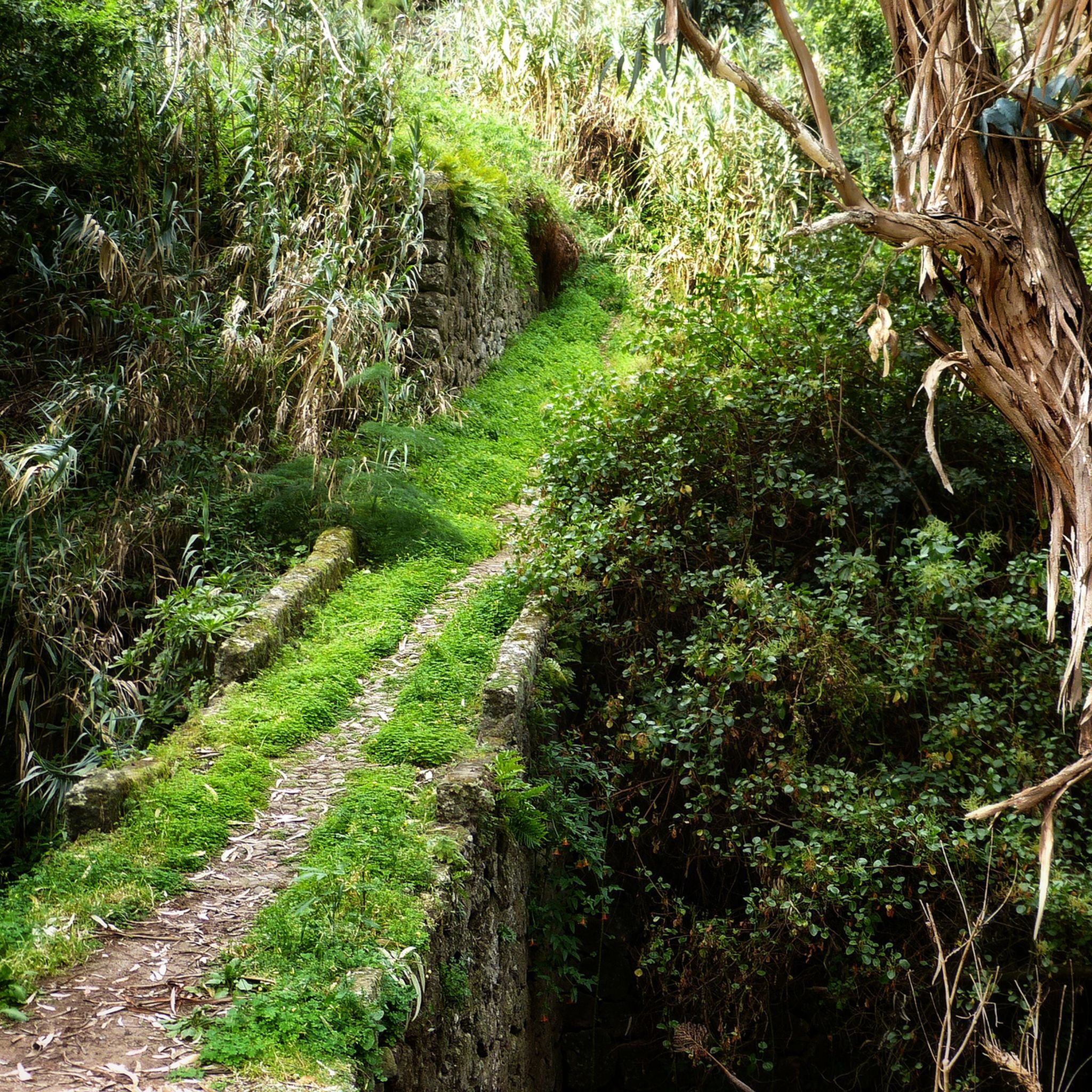
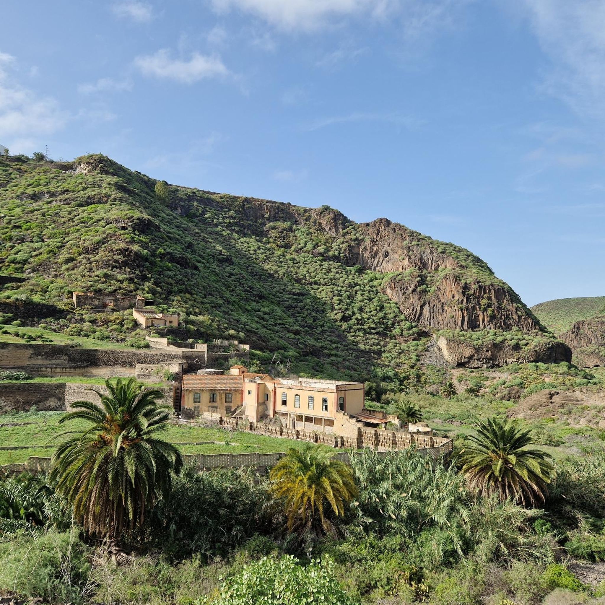
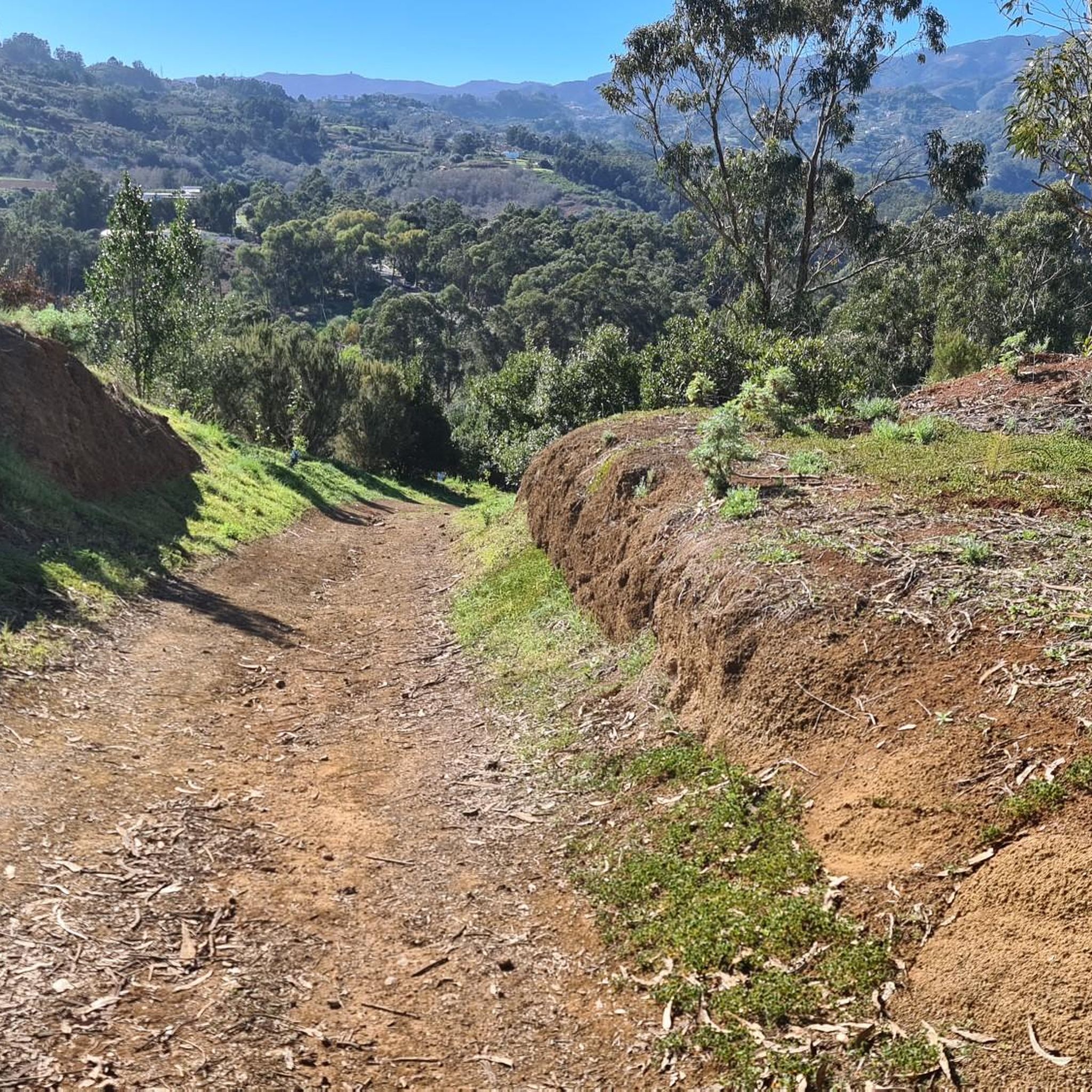
The terrain around Firgas is highly varied, characterized by significant elevation changes and volcanic landscapes. You'll encounter a mix of forested areas, open spaces, and historic towns. Surfaces range from paved sections to rugged dirt paths, often with technical descents and demanding climbs.
Are there any circular mountain bike routes in Firgas?
Yes, many of the mountain bike routes around Firgas are designed as loops, allowing you to start and finish in the same location. Examples include the challenging Auditorio Alfredo Kraus – Las Alcaravaneras Beach loop from Arucas and the Levada in Firgas loop from Arucas.
What are some notable viewpoints along the mountain bike routes?
The mountainous terrain around Firgas offers numerous stunning viewpoints. You can find panoramic vistas such as View of Guía, Gáldar, and Pico La Atalaya, View of Arucas from Montaña de Arucas, and View from Montaña Acebuche. The Pico de las Nieves summit – View of Roque Nublo and Teide (Tenerife) loop from Teror also offers incredible distant views.
What do other mountain bikers enjoy most about the trails in Firgas?
The mountain bike trails around Firgas are highly rated by the komoot community, with an average score of 4.5 stars from over 100 reviews. Riders frequently praise the diverse landscapes, the challenging climbs and descents, and the unique experience of riding through historic areas with distant ocean views.
Are there any interesting historical or natural attractions to explore near the trails?
Yes, the region is rich in attractions. You can explore various caves, such as the Caballero Caves or the Cueva Pintada Museum and Archaeological Park. The routes also pass through or near charming historic towns like Arucas and Teror, offering a glimpse into local culture and architecture.
What should I wear for mountain biking in Firgas?
Given the varied terrain and potential for significant elevation changes, it's advisable to wear layers that can be adjusted to changing temperatures. Breathable, moisture-wicking clothing is essential. Depending on the season, a light jacket or windbreaker might be useful, especially at higher altitudes or during descents. Always wear a helmet, and consider gloves and appropriate eyewear for protection.
Are there cafes or places to refuel near the mountain bike trails?
Yes, towns like Firgas, Arucas, and Teror, which serve as common starting points or pass-throughs for many routes, offer various cafes, restaurants, and shops where you can refuel and rest. It's always a good idea to carry sufficient water and snacks, especially on longer or more remote trails.
Where can I find parking for mountain biking in Firgas?
Parking is generally available in the main towns and villages around Firgas, such as Firgas itself, Arucas, or Teror. Many routes start from these locations, making it convenient to park your vehicle. For specific trailheads, it's recommended to check the route details on komoot for parking suggestions, as some more remote starting points might have limited space.
Are there any advanced mountain biking routes for experienced riders?
Absolutely. Firgas is known for its challenging terrain, with 32 difficult routes available. The Pico de las Nieves summit – View of Roque Nublo and Teide (Tenerife) loop from Teror is a prime example, covering 52.0 km with significant elevation gain, taking over 5 hours to complete. The Mountainbike loop from Arucas is another demanding option.
Most popular attractions around Firgas

Get inspired with the komoot mobile app


Explore more
Browse the best MTB trails in other regions.
