The best road cycling routes around Munilla
5.0
(1)
115
riders
10
rides
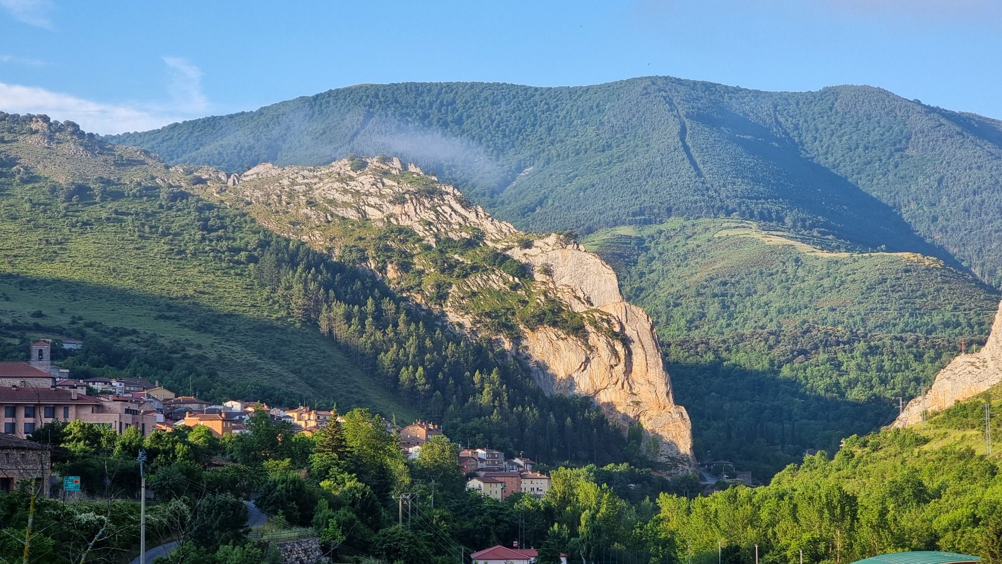
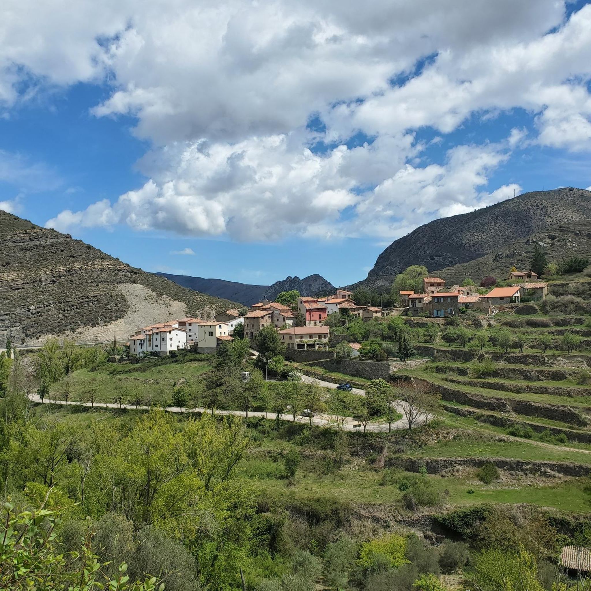
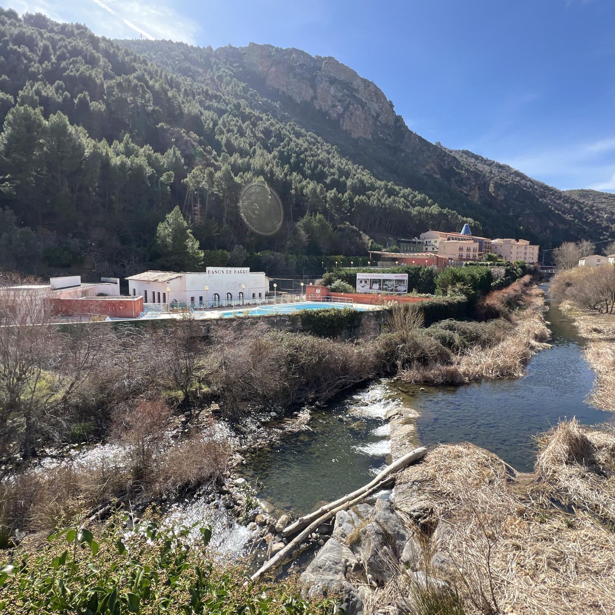
Road cycling around Munilla, located in La Rioja, Spain, offers diverse landscapes for cyclists. The region is characterized by the Valle del Cidacos, featuring clay-colored cliffs and river valleys. Cyclists can expect varied terrain, from gentler riverside sections to more challenging ascents through rocky formations. The area provides a mix of natural features and historical landmarks, including castles and ancient villages, along its cycling routes.
Best road cycling routes around Munilla
- The most popular road cycling route is Valle del…
Last updated: May 16, 2026
35
riders
65.7km
03:19
1,050m
1,060m
Hard road ride. Very good fitness required. Mostly well-paved surfaces and easy to ride.
9
riders
85.5km
04:14
1,340m
1,340m
Hard road ride. Very good fitness required. Some segments of this route may be unpaved and difficult to ride.

Sign up for free
7
riders
61.8km
03:08
1,040m
1,040m
Hard road ride. Very good fitness required. Mostly well-paved surfaces and easy to ride.
11.6km
00:33
150m
140m
Easy road ride. Great for any fitness level. Mostly well-paved surfaces and easy to ride.
7
riders
52.3km
02:39
880m
880m
Moderate road ride. Good fitness required. Mostly well-paved surfaces and easy to ride.
Get access to more routes and recommendations from other explorers.
Sign up for free
Already have an account?
Our route recommendations are based on thousands of hikes, rides, and runs completed by other people on komoot.
Start today with a free account
Your next adventure awaits.
Login or Signup
Other adventures around Munilla

Tips from the Community

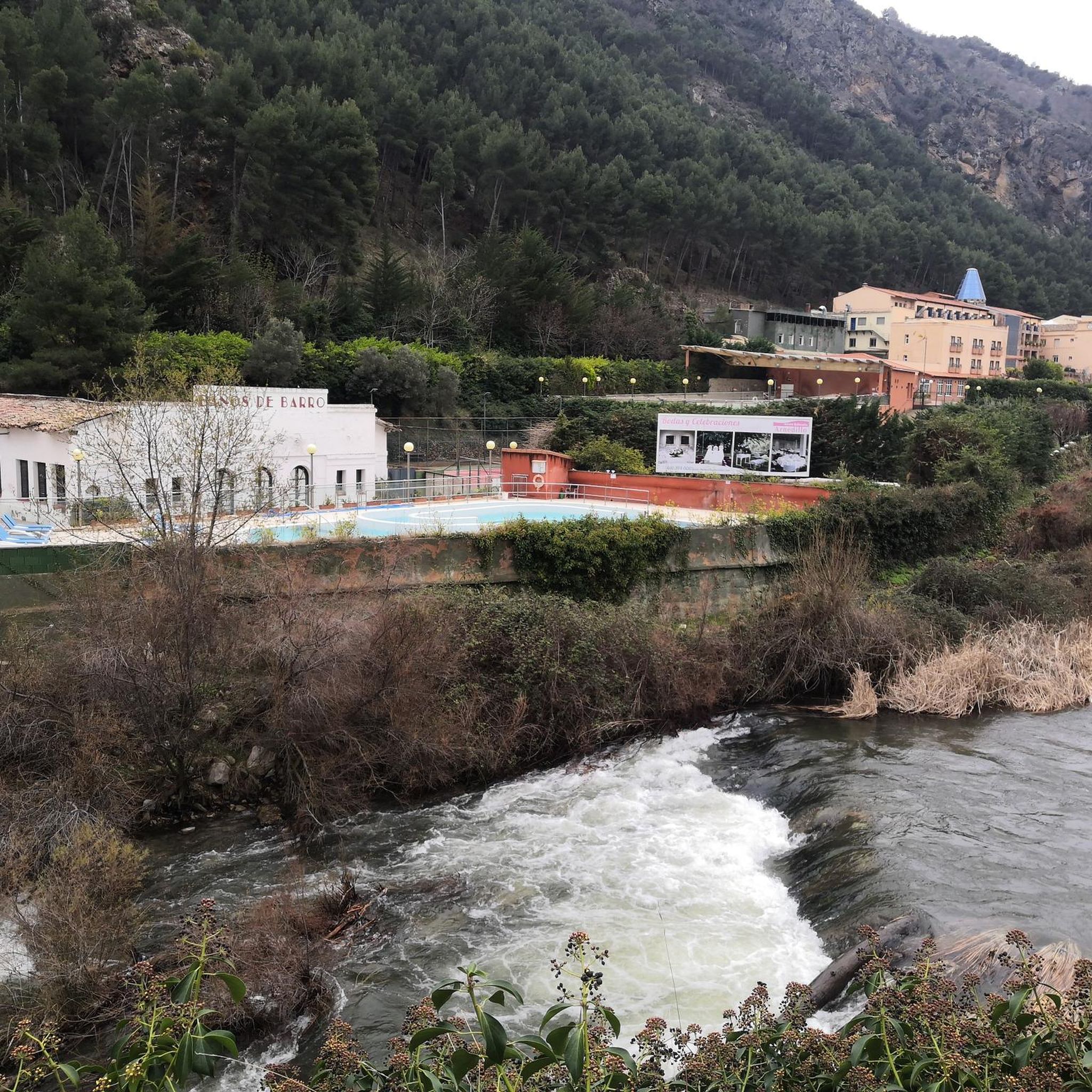
Beautiful views of the banks of the Cidacos.
0
0

there is a fountain and bar in the square
1
0
Accommodation, shops and bar in this beautiful medieval town. They have just restored the castle
0
0

Santa Cruz de Yanguas is a municipality in Soria in the Tierras Altas region, community of Castilla y León. During the Middle Ages it was part of the Community of Villa y Tierra de Yanguas. It is located in the Baos River basin, and has important forest and mycological resources. The municipal area is part of the Urbión Regional Reserve, with a large presence of deer, roe deer, wild boar and woodcock. Of its heritage, the Roman bridge that spans the bed of the Baos River, the church of the Santísima Trinidad (16th century) in Gothic style and the hermitage of the Virgen del Pilar stand out. As in the rest of the region, you can find dinosaur footprints (ichnites).
2
0
San Pedro Manrique is a municipality in Soria in the Tierras Altas region, in the community of Castilla y León. Its origin dates back to the Celts, Vascones, Iberians and Romans. With the passage of time, other neighboring towns such as Sarnago, Las Fuentes de San Pedro, Matasejún, Palacio de San Pedro, Taniñe, Valdenegrillos and Ventosa de San Pedro have been incorporated into the municipal area. San Pedro Manrique is well known for his particular way of celebrating San Juan Day. On the night of San Juan the well-known "paso del fuego" is carried out, in which the embers of a bonfire are stepped on by the town's natives, barefoot and carrying someone on their backs. Among its heritage, the hermitage of the Virgen de la Peña, the church of San Miguel, the remains of a castle on the outskirts and the ruins of the convent of San Pedro el Viejo stand out.
0
0
Yanguas is a town in Soria in the Tierras Altas region, in the community of Castilla y León. Of pre-Roman origin, it is located at the beginning of the Cidacos river gorge, on the road that linked Numancia and Calahorra. It was declared a Historical-Artistic Site in 1993 and belongs to the Most Beautiful Towns in Spain association. Of its heritage, the Romanesque tower of San Miguel stands out, in Catalan Romanesque style (unique in the province), the Yanguas castle (14th century) and the church of San Lorenzo.
2
0

Famous for its Cuevas del Ajedrezado caves, the LR-115 highway passes through Santa Eulalia Somera and Santa Eulalia Bajera with the impressive sheer rock as a guide.
0
0
The L-382 road runs along the gravel route of the Greenway before disappearing into a short tunnel. There is a nice wooden viewpoint over the valley.
0
0
Frequently Asked Questions
What types of landscapes can I expect to see while road cycling around Munilla?
Road cycling around Munilla offers a diverse range of landscapes. You'll encounter the scenic Valle del Cidacos, characterized by striking clay-colored cliffs and river valleys. The routes also traverse rocky formations and high plains, providing varied terrain from gentler riverside sections to more challenging ascents. The region's natural beauty is complemented by historical landmarks like ancient villages and castles.
Are there road cycling routes suitable for beginners in Munilla?
Yes, there are routes suitable for various skill levels. For beginners, the Cidacos Greenway is an excellent option. This easy route covers approximately 11.6 km with minimal elevation gain, making it perfect for a relaxed ride.
What are some of the more challenging road cycling routes in the Munilla area?
For experienced cyclists seeking a challenge, Munilla offers several difficult routes. The Valle del Rio Cidacos and ancient town of Turruncun — circular from Arnedillo is a demanding 65.7 km route with significant elevation gain. Another option is the Soria Highlands Loop, an 85.5 km path traversing elevated terrain with sustained climbing.
Can I find circular road cycling routes around Munilla?
Yes, many of the road cycling routes in the Munilla area are circular, allowing you to start and end in the same location. Examples include the Valle del Rio Cidacos and ancient town of Turruncun — circular from Arnedillo and the Tierra Altas alta de Sória y San Pedro Manrique — circular desde Yaguas.
What historical sites or cultural attractions can I explore near the road cycling routes?
The region around Munilla is rich in history and culture. You can visit the 16th-century Church of Santa María in Munilla, or the impressive Archaeological Site of La Canal. Nearby, the village of Enciso features the emblematic Church of San Pedro, and Yanguas, recognized as one of Spain's most beautiful villages, offers traditional stone houses and Romanesque churches like San Lorenzo and Santa María. You might also encounter the ruins of Préjano Castle, a 15th-century landmark.
Are there any natural viewpoints or scenic spots along the road cycling routes?
Absolutely. The area boasts several stunning natural viewpoints. You can visit the Leza Canyon Viewpoint or the Vulture Viewpoint of the Leza River Canyon for breathtaking vistas. The routes often pass through the Valle del Cidacos, offering picturesque views of clay-colored cliffs and river scenery.
What do other road cyclists say about the routes in Munilla?
The road cycling routes in Munilla are highly regarded by the komoot community, with an average rating of 5.0 stars from over 1 review. Cyclists often praise the varied terrain, from river valleys to challenging ascents, and the beautiful combination of natural features and historical landmarks along the way. Over 111 road cyclists have used komoot to explore this region.
Are there any waterfalls or unique natural monuments to see while cycling?
Yes, the region features some interesting natural attractions. You can find the San Tuste Waterfall, which can be a refreshing stop. Additionally, the El Barranco Perdido Paleo Adventure Park and the Pladortes Ichnite Site offer unique natural monument experiences, showcasing the area's geological history.
What is the typical duration for road cycling routes around Munilla?
The duration of road cycling routes around Munilla varies significantly depending on the route's length and difficulty. For example, an easy route like the Cidacos Greenway can be completed in about 30 minutes, while more challenging routes such as the Soria Highlands Loop might take over 4 hours to complete.
Are there any facilities or points of interest like gorges or rivers along the routes?
Yes, the routes often follow or pass by significant natural features. The Hoya de la Cueva is a notable gorge in the area, and the Gollizo Pool (Jubera River) offers a beautiful riverside spot. The entire region is defined by its river valleys, including the Cidacos, providing scenic cycling opportunities.
How many road cycling routes are available in the Munilla area?
There are over 10 road cycling routes available around Munilla, catering to various skill levels from easy to difficult. This network allows cyclists to explore the diverse landscapes of La Rioja, Spain.
What is a good moderate-difficulty road cycling route near Munilla?
For a moderate challenge, the Yanguas Historic Village – Yanguas loop from Yanguas is an excellent choice. This route covers approximately 52.3 km and offers a balanced ride through the scenic surroundings, often completed in about 2 hours 39 minutes.
Most popular routes around Munilla
Most popular attractions around Munilla

Get inspired with the komoot mobile app


Explore more
Browse the best Road cycling routes in other regions.
