The best mountain hikes around Pratdip
4.2
(4)
12
hikers
5
hikes
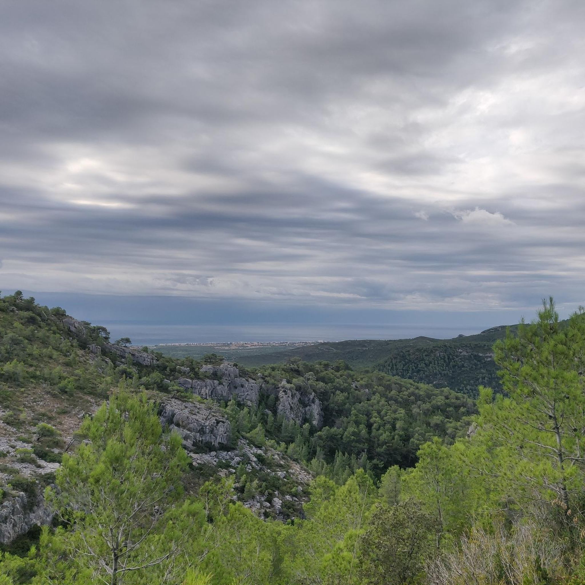
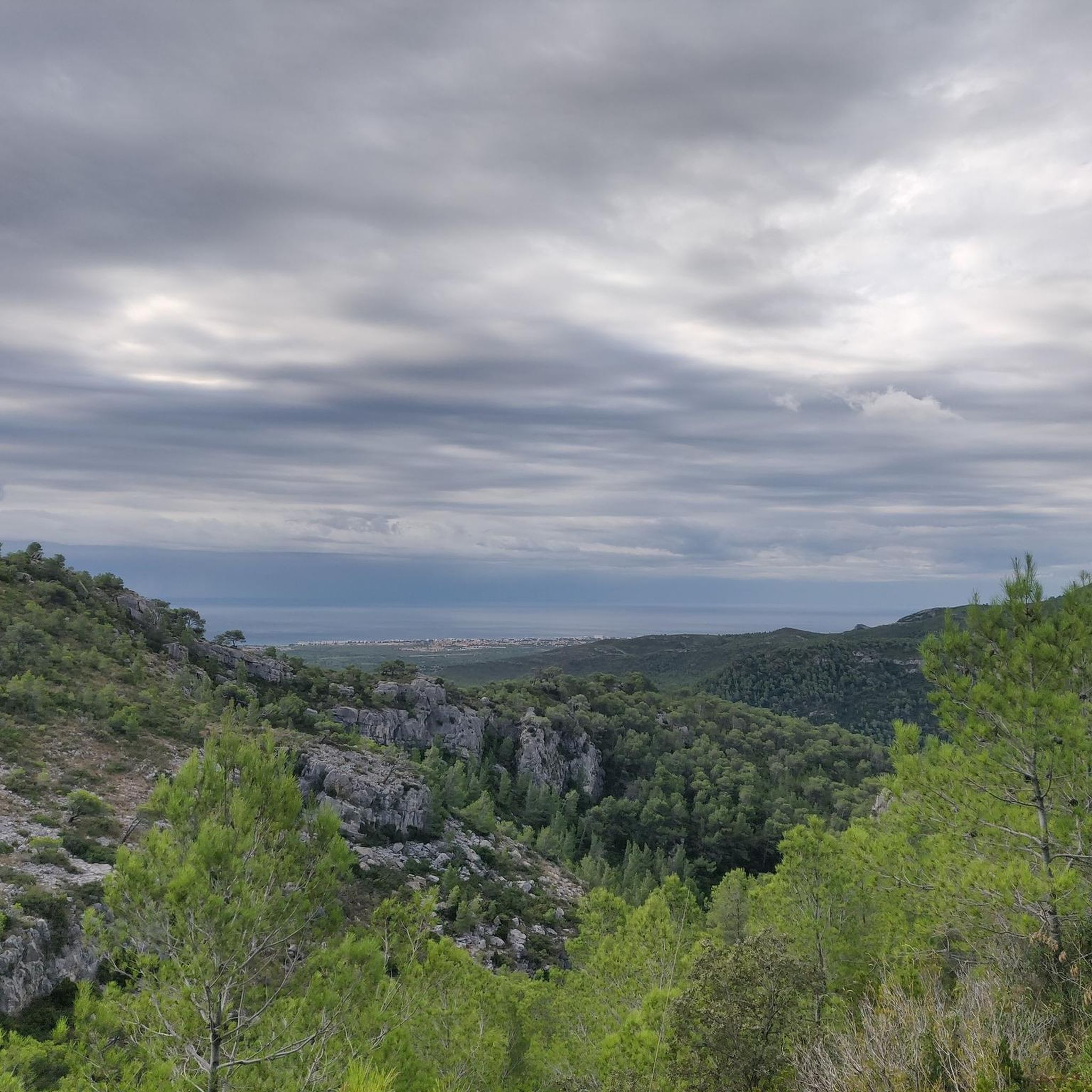
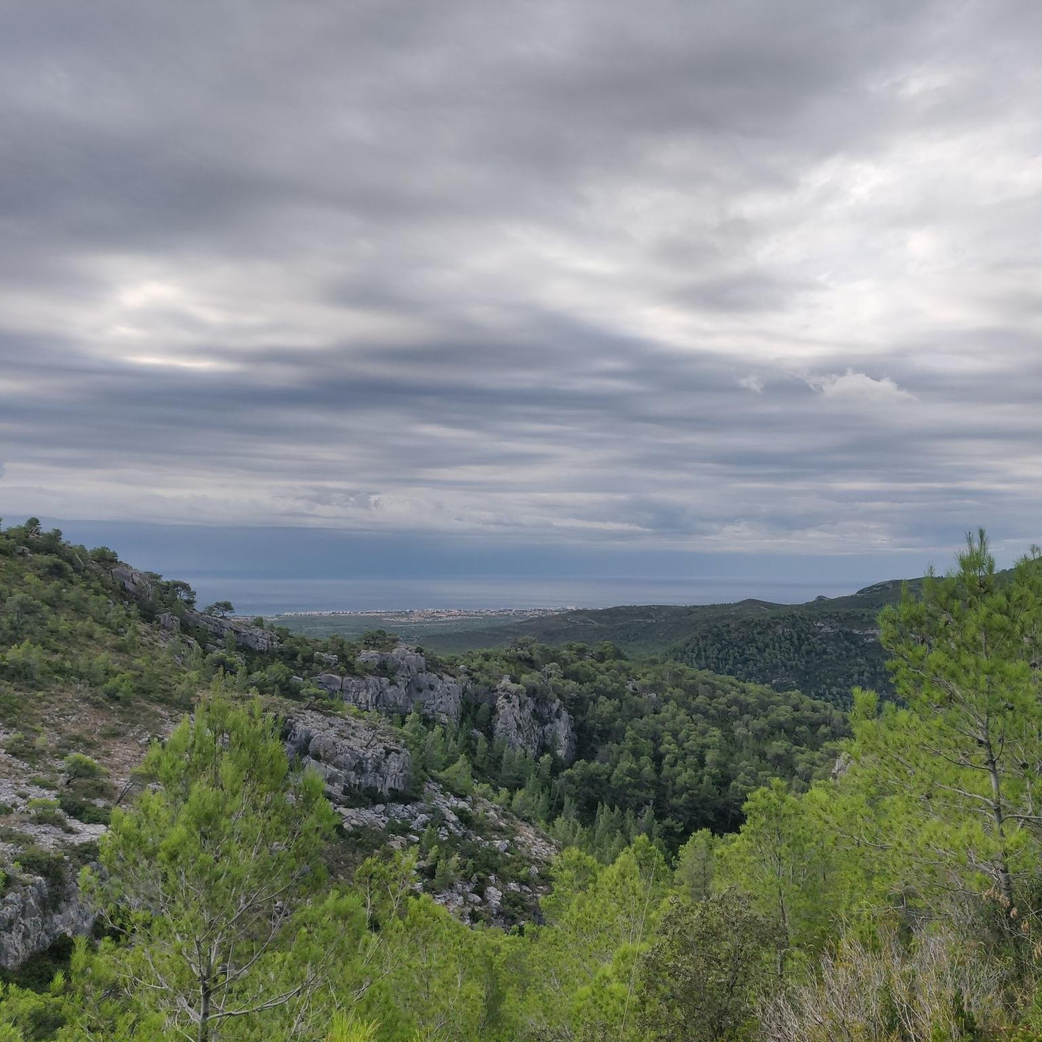
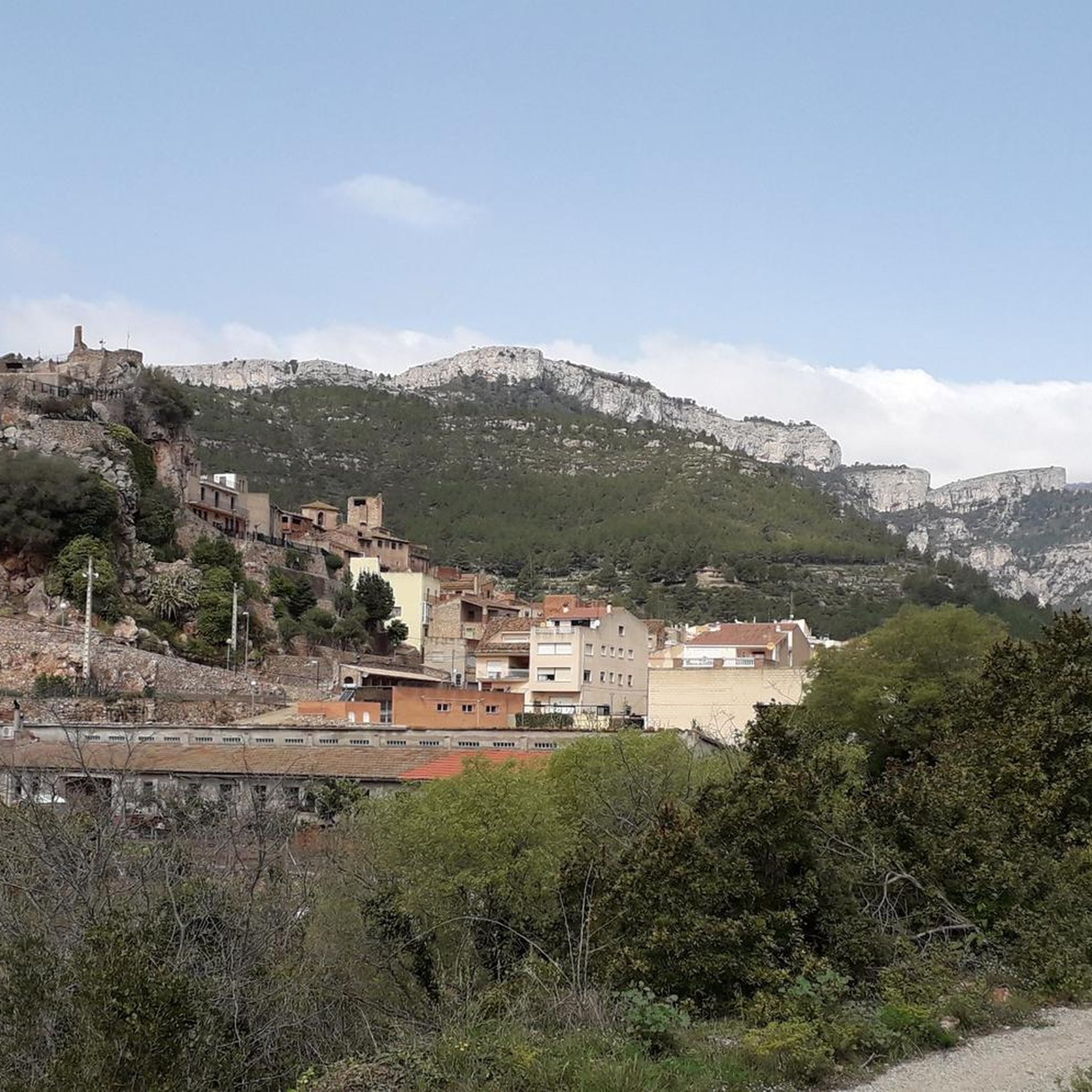
Mountaineering routes around Pratdip are defined by the rugged landscapes of the Serra de Llaberia, a protected natural area characterized by holm oaks, pines, and oak trees. The region features diverse mountainous terrain, including vertical cliffs and deep ravines like the Dovi and Santa Marina canyons. Key peaks such as Mont-Redon (862 m) offer challenging ascents and panoramic views of the Costa Daurada. This area provides a range of routes suitable for exploring its varied natural features.
Best mountaineering routes…
Last updated: November 1, 2026
5
hikers
8.34km
03:22
500m
500m
Hard mountaineering route. Good fitness required. Sure-footedness, sturdy shoes and alpine experience required.
5.0
(1)
3
hikers
5.69km
01:56
280m
280m
Moderate mountaineering route. Mostly walkable paths. Sure-footedness required.

1
hikers
10.6km
04:36
790m
790m
Hard mountaineering route. Good fitness required. Sure-footedness, sturdy shoes and alpine experience required.
3.0
(1)
1
hikers
3.67km
01:37
250m
250m
Hard mountaineering route. Sure-footedness, sturdy shoes and alpine experience required.
4.5
(2)
2
hikers
7.67km
02:52
400m
400m
Hard mountaineering route. Good fitness required. Sure-footedness, sturdy shoes and alpine experience required.
Our route recommendations are based on thousands of hikes, rides, and runs completed by other people on komoot.
Start today with a free account
Your next adventure awaits.

Tips from the Community

In October, there is no one here anymore. The reception is only staffed on weekends, you have to call a number (no English), all facilities including the pool are locked, only the toilets, showers, and laundry rooms are accessible. We are the only guests besides two rented bungalows - wonderful! In the village, there is a bakery that is open daily until 1:30 PM except on Sundays and a supermarket that offers everything you need. Tip-top!
0
0

A wonderful place with impressive views...!!!
0
0

Short stretch on a mix of scree and rock, to be tackled without problems with suitable footwear, also suitable for trained dogs and children accustomed to the mountains
1
0


Easy climb and spectacular views. Worth .
2
0

The view of the sea and the coast is fantastic
0
0

Highly recommended, there is also a restaurant up here and the view from here is simply amazing.
0
0

From up here you have a beautiful view.
1
0
Frequently Asked Questions
How many mountaineering routes are available around Pratdip?
There are 6 mountaineering routes detailed in this guide for the Pratdip area, offering a variety of experiences through the rugged landscapes of the Serra de Llaberia.
What is the general difficulty level of mountaineering routes in Pratdip?
The mountaineering routes around Pratdip cater to a range of abilities. This guide features 3 moderate routes and 3 difficult routes, providing options for both experienced mountaineers and those looking for a significant challenge.
Are there any circular mountaineering routes in the Pratdip area?
Yes, several routes in the area are designed as loops. For example, you can explore the distinctive rock formations on the Pla de l'Areny Rock Formations loop from Roca del Pagès, or take on the more challenging La Miranda (918 m) – Cavall Bernat (840 m) loop from Colldejou which ascends two prominent peaks.
What kind of terrain can I expect on mountaineering routes near Pratdip?
Mountaineering routes near Pratdip traverse diverse and dramatic landscapes. You'll encounter rugged mountainous terrain, extensive holm oak, pine, and oak forests, and dramatic vertical cliffs. The region is also characterized by deep ravines like the Dovi and Santa Marina canyons, offering varied and engaging paths.
Are there family-friendly mountaineering options around Pratdip?
While many routes are challenging, some moderate options might be suitable for families with older children who are accustomed to hiking. The Pla de l'Areny Rock Formations loop from Roca del Pagès is a shorter, moderate route that could be considered, but always assess the difficulty and your family's experience level before setting out.
What historical or cultural sites can I explore near the mountaineering routes?
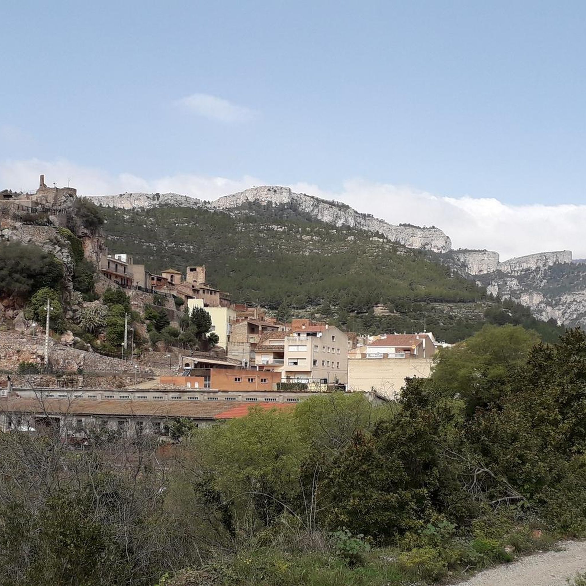
Beyond the natural beauty, Pratdip offers several historical sites. You can visit the remains of a medieval castle presiding over the village, or explore the La Mola Castle, Colldejou. The Hermitage of Mare de Déu de la Roca is another notable religious building in the vicinity.
What is the best time of year for mountaineering in Pratdip?
Pratdip's climate makes it suitable for mountaineering for much of the year. Spring and autumn generally offer the most pleasant temperatures for strenuous activity. Summers can be hot, especially at lower elevations, while winters are typically mild but can bring cooler conditions to the higher peaks of the Serra de Llaberia.
Do I need any permits to go mountaineering in the Serra de Llaberia?
The Serra de Llaberia is a protected natural area. While general hiking and mountaineering do not typically require specific permits for access, it's always advisable to check local regulations, especially for any specific climbing areas or during certain seasons when bird nesting bans might be in effect.
Where can I find parking for mountaineering routes in Pratdip?
Many routes, particularly those starting from villages like Colldejou or Roca del Pagès, will have designated parking areas. It's recommended to check the specific route details on komoot for information on starting points and available parking facilities.
Is public transport available to access mountaineering trails near Pratdip?
Access to the more remote mountaineering trails in the Serra de Llaberia is generally easier by private vehicle. While Pratdip itself may have limited public transport connections, direct access to trailheads often requires driving. Planning your journey in advance is recommended.
What do other mountaineers enjoy the most about mountaineering in Pratdip?
The area is highly rated by the komoot community, with an average score of 4.2 stars. Reviewers often praise the challenging ascents, the stunning panoramic views of the Costa Daurada and the Mediterranean Sea from peaks like Mont-Redon, and the diverse natural features encountered along the trails.
Are there any routes that offer particularly challenging ascents?
Absolutely. For those seeking a significant challenge, the La Miranda (918 m) – Cavall Bernat (840 m) loop from Colldejou is a difficult route that ascends two prominent peaks, offering extensive views and a demanding experience. Another difficult option is the Cova de la Llena loop from Tivissa.
Most popular routes around Pratdip
Most popular attractions around Pratdip

Get inspired with the komoot mobile app


Explore more
Browse the best Mountain Hikes & Routes in other regions.
